The best cycling routes in San Tan Mountain Regional Park
5.0
(9)
155
riders
14
rides
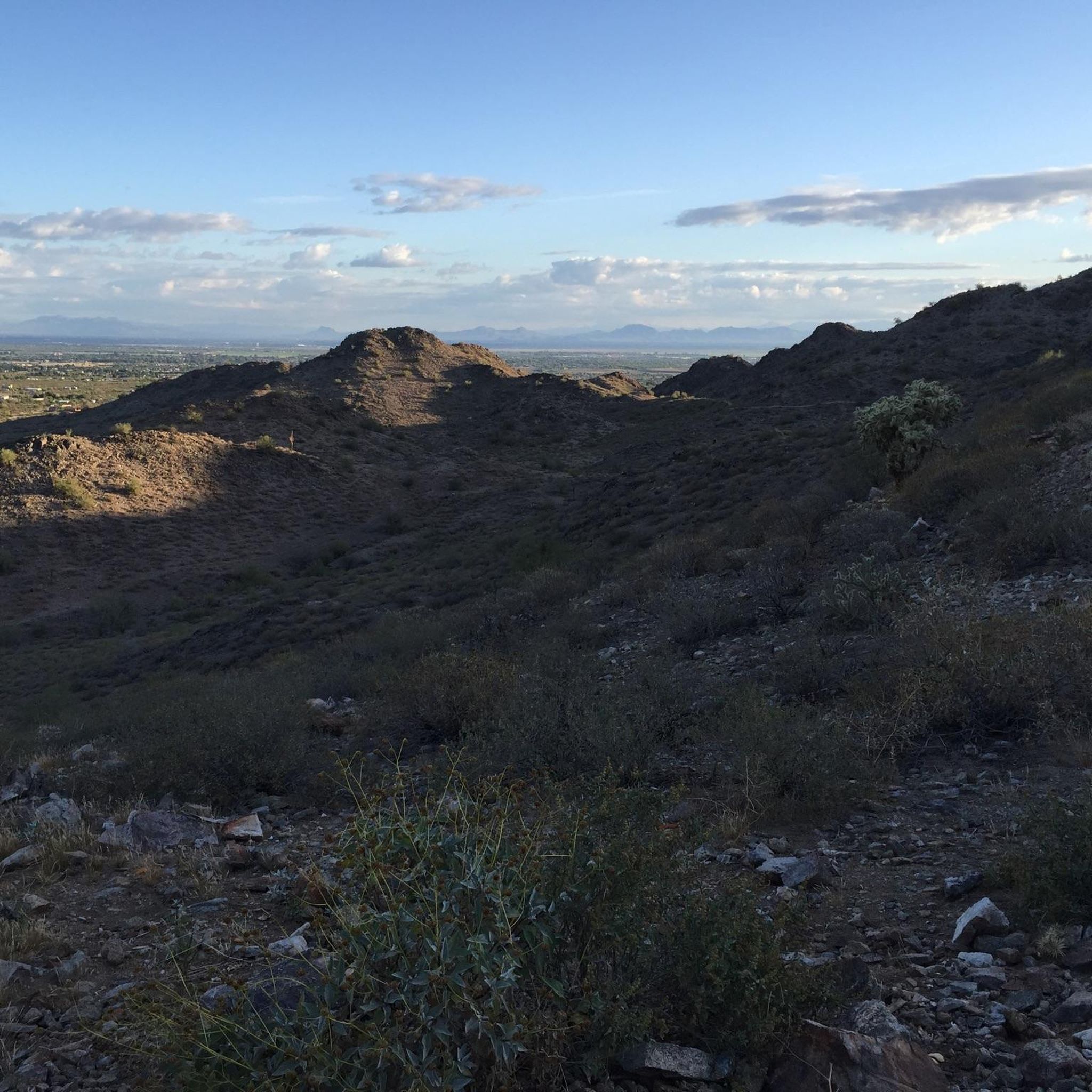
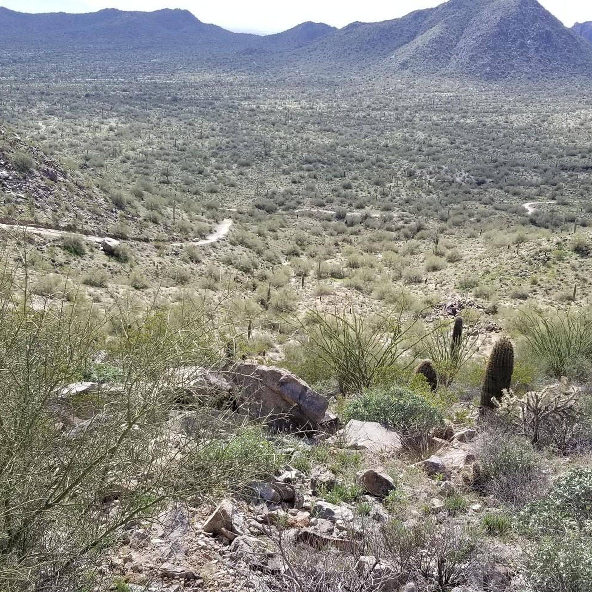
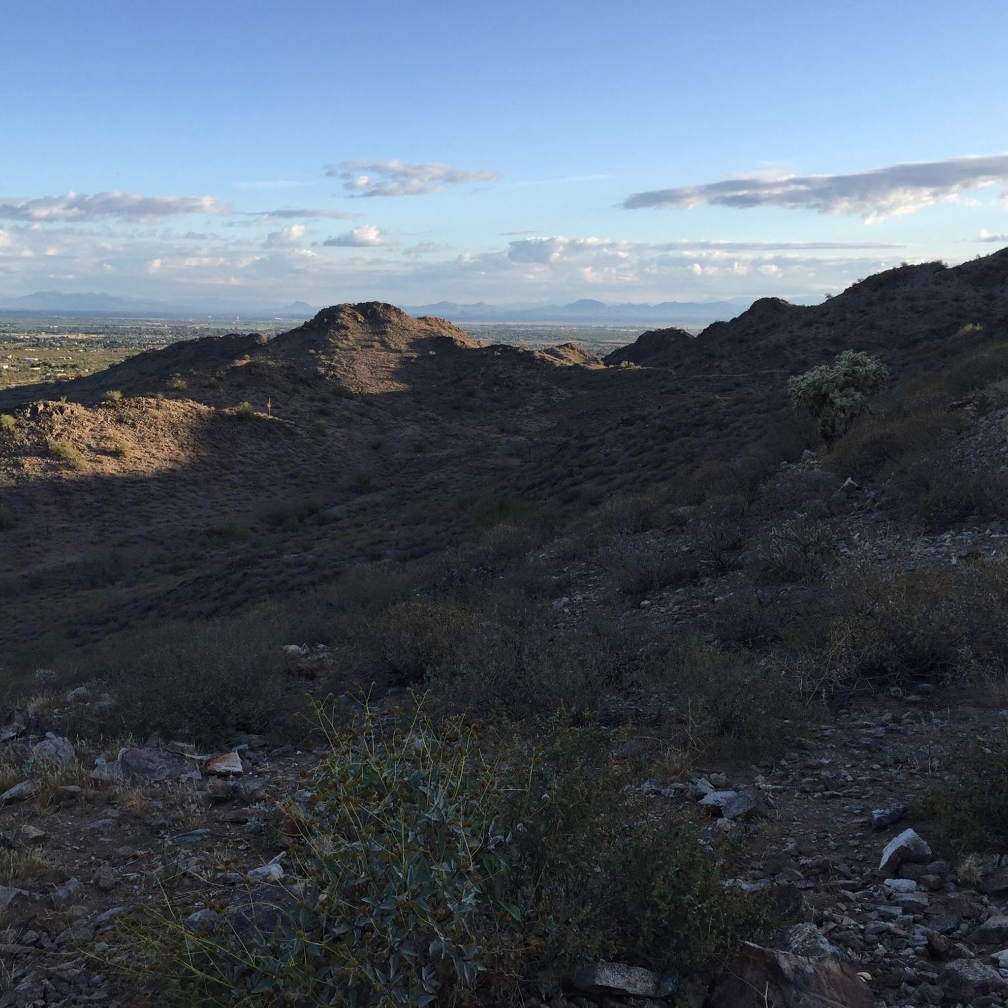
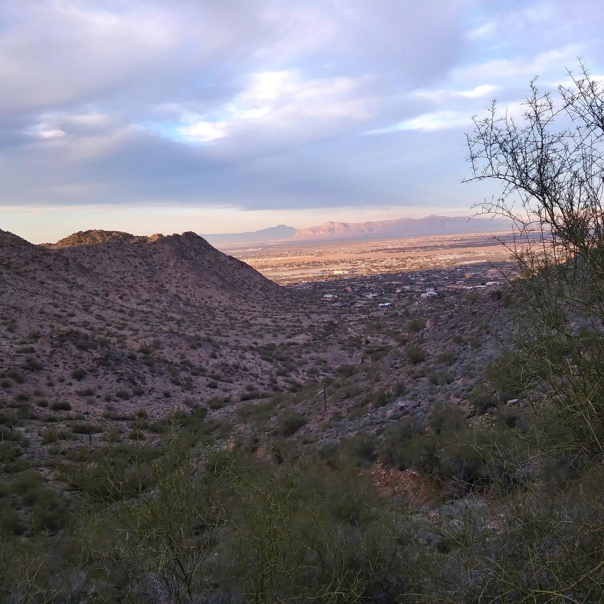
Touring cycling in San Tan Mountain Regional Park offers routes through the lower Sonoran Desert, characterized by diverse desert ecosystems and elevations ranging from approximately 1,400 to over 2,500 feet. The landscape features creosote flats transitioning to saguaro forests, with prominent desert mountain ranges like Goldmine Mountain and the San Tan Mountain escarpment. Many multi-use trails consist of dirt and gravel roads, providing varied terrain for touring cyclists.
Best touring cycling routes in San Tan Mountain Regional Park
- The most popular touring cycling route is San Tan Mountain Regional Park loop from San Tan Mountain Regional Park, a 6.3 miles (10.2 km) trail that takes about 1 hour to complete. This easy route offers a general overview of the park's desert environment.
- Another top favourite among local touring cyclists is San Tan Trail – Dynamite Trail loop from Goldmine Trailhead, a moderate 16.6 miles (26.7 km) path. This route winds through varied desert terrain, including sections of the San Tan and Dynamite Trails.
- Local touring cyclists also love the Dynamite Trail – Dynamite Trail loop from Goldmine Trailhead, a 4.5 miles (7.3 km) trail leading through the foothills of Goldmine Mountain, often completed in about 45 minutes.
- Touring cycling in San Tan Mountain Regional Park is defined by Sonoran Desert landscapes, saguaro forests, and desert mountain views. The network offers options for different ability levels, from easy loops to moderate routes with more elevation gain.
- The routes in San Tan Mountain Regional Park are highly rated by the komoot community with an average score of 5.0 stars from over 5 reviews. More than 200 touring cyclists have used komoot to explore San Tan Mountain Regional Park's varied terrain.
Last updated: July 2, 2026
11
riders
10.2km
01:01
150m
150m
Easy bike ride. Great for any fitness level. Mostly paved surfaces. Suitable for all skill levels.
10
riders
26.7km
02:44
430m
430m
Moderate bike ride. Good fitness required. Mostly paved surfaces. Suitable for all skill levels.

Sign up for free
6
riders
15.3km
01:31
210m
210m
Moderate bike ride. Good fitness required. Mostly paved surfaces. Suitable for all skill levels.
7
riders
7.32km
00:46
140m
140m
Easy bike ride. Great for any fitness level. Mostly paved surfaces. Suitable for all skill levels.
6
riders
5.14km
00:32
100m
100m
Easy bike ride. Great for any fitness level. Mostly paved surfaces. Suitable for all skill levels.
Get access to more routes and recommendations from other explorers.
Sign up for free
Already have an account?
Our route recommendations are based on thousands of hikes, rides, and runs completed by other people on komoot.
Start today with a free account
Your next adventure awaits.
Login or Signup
Tips from the Community

The Dynamite Trail is located in the northwest portion of San Tan Mountain Regional Park. It's 2.5 miles long and can be accessed from either the main park trailhead or the Goldmine trailhead. The trail goes along the foothills of Goldmine Mountain and makes for a great hike in either direction.
0
0

San Tan Mountain Regional Park is a huge park with over 10,000 acres preserved by Maricopa County Parks. Weirdly enough, it's located outside of Maricopa County in Pinal County. Points in the park range in elevation from 1,400 feet to over 2,500 feet.
0
0

This is a good XC trail for beginners, but offers enough to keep things interesting for more experienced riders as well. Since it makes nearly a full loop around the park you can make your ride as long or as short as you want by linking with other trails or taking a shortcut back to the parking lot. Just be sure you know what route you want to take so you don't end up on a trail that offers more challenging terrain than you are able to handle.
1
0
Dynamite can be ridden as a climb or a downhill. It's popular with hikers as well so be courteous to other trail users especially if going downhill. It's rocky but not enough to shake your fillings loose. You can connect with the Goldmine Trail for a quick lap or the San Tan Trail for a longer ride.
0
0


Great place for pictures. Saddle has a bench to relax and rest before heading out each way.
0
0
Frequently Asked Questions
What kind of terrain can I expect for touring cycling in San Tan Mountain Regional Park?
The park features a diverse lower Sonoran Desert landscape. You'll find multi-use trails that are often described as dirt and gravel roads, varying from easy to moderate difficulty. Some sections might be loose or rocky, especially on trails like the San Tan Trail, which winds through 'Broken Lands' and 'Central Valley'.
Are there any easy touring cycling routes suitable for beginners or families?
Yes, there are several easy routes. The San Tan Mountain Regional Park loop from San Tan Mountain Regional Park is an easy 6.3-mile (10.2 km) route offering a general overview of the park. Another easy option is the Dynamite Trail – Dynamite Trail loop from Goldmine Trailhead, which is 4.5 miles (7.3 km) and leads through the foothills of Goldmine Mountain. The Moonlight Trail is also noted as an easier, scenic, and mild choice for all skill levels.
What are some scenic highlights or viewpoints I can experience while cycling?
Cyclists can enjoy dramatic views of the desert mountain range and surrounding valleys. Prominent features include Goldmine Mountain in the northern part and the spectacular San Tan Mountain escarpment to the south. You can find excellent views at Goldmine Peak Viewpoint and enjoy a View of the Arizona Desert Mountains. The park also showcases beautiful saguaro forests and diverse desert flora.
Can I bring my dog on the touring cycling trails?
San Tan Mountain Regional Park is generally dog-friendly, but it's always best to check the specific park rules regarding pets on trails. Always keep your dog on a leash and ensure you carry enough water for both yourself and your pet, especially given the desert environment.
What is the best time of year to go touring cycling in San Tan Mountain Regional Park?
The cooler months, typically fall through spring (October to April), are ideal for cycling in the Sonoran Desert to avoid extreme summer heat. During these times, the weather is more pleasant for outdoor activities, and you can fully enjoy the park's natural beauty.
Are there any circular touring cycling routes in the park?
Yes, many of the touring cycling routes in San Tan Mountain Regional Park are designed as loops. For example, the San Tan Trail – Dynamite Trail loop from Goldmine Trailhead is a moderate 16.6-mile (26.7 km) path that offers a varied desert experience. Another option is the San Tan Mountain Regional Park – Hedgehog Trail loop from San Tan Mountain Regional Park, an easy 12.1-mile (19.5 km) route.
What kind of wildlife might I see while cycling in the park?
The park is home to a variety of Sonoran Desert wildlife. You might spot reptiles, various bird species like Gambel's Quail and Cactus Wren, and mammals such as javelinas and coyotes. Keep an eye out for Gila monsters, though they are more elusive.
Where can I park my car when visiting San Tan Mountain Regional Park for cycling?
The park has designated parking areas, including the main San Tan Mountain Regional Park entrance and the Goldmine Trailhead. These are common starting points for many of the cycling routes. Check the park's official website for any parking fees or specific regulations.
What do other touring cyclists say about their experience in San Tan Mountain Regional Park?
The touring cycling routes in San Tan Mountain Regional Park are highly rated by the komoot community, with an average score of 5.0 stars from over 5 reviews. Cyclists often praise the unique Sonoran Desert landscapes, the saguaro forests, and the stunning desert mountain views, noting the variety of options for different ability levels.
Are there any specific trails known for their smooth surfaces suitable for touring bikes?
While many trails are dirt and gravel, the Hedgehog Trail is noted for its packed surface and tight curves, making it a smoother option for cycling. It's part of the San Tan Mountain Regional Park – Hedgehog Trail loop from San Tan Mountain Regional Park.
Are there any facilities like a Nature Center in the park?
Yes, San Tan Mountain Regional Park features a Nature Center. It's a great place to learn about the park's ecosystem, pick up educational materials, and view wildlife exhibits, including a tortoise habitat. It can be a good stop before or after your ride.
What should I bring for a touring cycling trip in San Tan Mountain Regional Park?
Given the desert environment, it is crucial to carry plenty of water, even on shorter rides. Sun protection (sunscreen, hat, sunglasses) is also highly recommended. Basic bike repair tools, snacks, and a map or GPS device are also advisable.
Most popular routes in San Tan Mountain Regional Park
Most popular attractions in San Tan Mountain Regional Park

Get inspired with the komoot mobile app


Explore more
Browse the best Cycling routes in other regions.
