The best walks and hikes in Lake Pleasant Regional Park
4.6
(18)
188
hikers
14
hikes
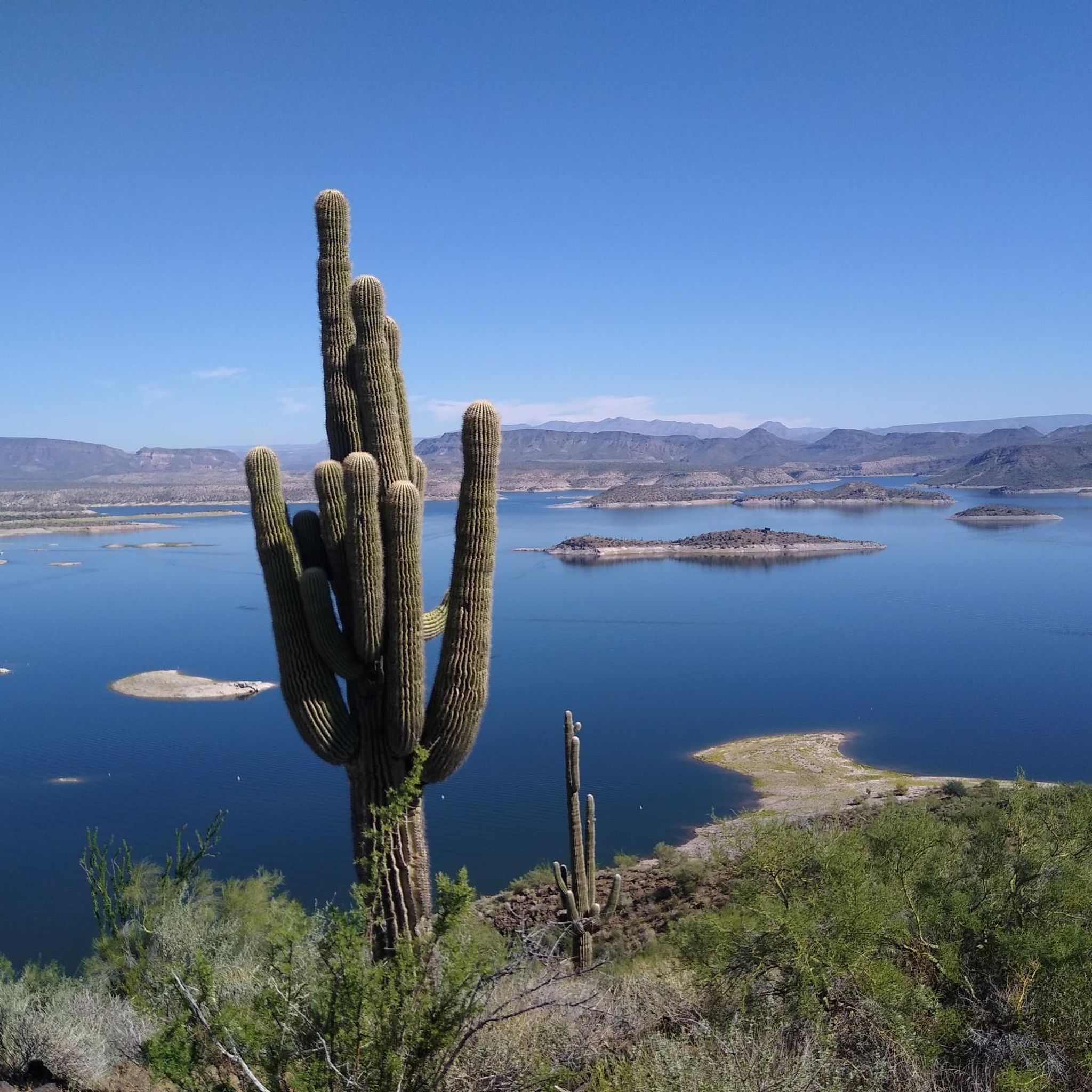
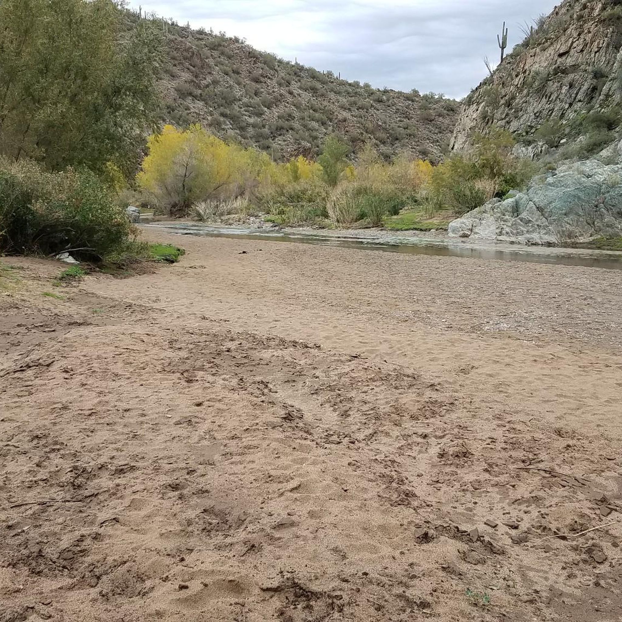
Hiking in Lake Pleasant Regional Park offers routes through the Sonoran Desert landscape, characterized by mountainous terrain and vibrant desert flora. The park features the expansive Lake Pleasant, providing a contrast to the rugged desert environment. Hikers can expect views of the lake framed by hills and sandstone cliffs. The area's trails traverse diverse ecosystems, offering opportunities to explore the unique natural features of the region.
Best hiking trails in Lake Pleasant Regional Park
- The most popular hiking route is Yavapai Point Trail, a 3.1 miles (5.0 km) trail that takes 1 hour 23 minutes to complete. This easy path offers panoramic views of Lake Pleasant and the surrounding desert.
- Another top favourite among local hikers is Yavapai Point & Pipeline Canyon Trail — Lake Pleasant Regional Park, a moderate 5.7 miles (9.1 km) path. This route combines desert exploration with scenic lake overlooks, including a floating bridge section.
- Local hikers also love the Pipeline Canyon Trail — Lake Pleasant Regional Park, a 4.0 miles (6.4 km) trail leading through desert terrain with lake views, often completed in about 1 hour 48 minutes.
- Hiking in Lake Pleasant Regional Park is defined by Sonoran Desert landscapes, the shores of Lake Pleasant, and rugged hills. The network offers options for both easy strolls and more challenging moderate hikes.
- The routes in Lake Pleasant Regional Park are highly rated by the komoot community with an average score of 4.6 stars from over 5 reviews. More than 170 hikers have used komoot to explore Lake Pleasant Regional Park's varied terrain.
Last updated: September 28, 2026
2.53km
00:41
10m
60m
Easy hike. Great for any fitness level. Easily-accessible paths. Suitable for all skill levels.
2.90km
00:50
70m
60m
Easy hike. Great for any fitness level. Easily-accessible paths. Suitable for all skill levels.

43.3km
12:53
1,750m
520m
Hard hike. Very good fitness required. Easily-accessible paths. Suitable for all skill levels.
1.27km
00:21
30m
30m
Easy hike. Great for any fitness level. Easily-accessible paths. Suitable for all skill levels.
91.5km
26:49
2,500m
2,400m
Hard hike. Very good fitness required. Easily-accessible paths. Suitable for all skill levels.
Get access to more routes and recommendations from other explorers.
Already have an account?
Our route recommendations are based on thousands of hikes, rides, and runs completed by other people on komoot.
Start today with a free account
Your next adventure awaits.
Popular around Lake Pleasant Regional Park
Tips from the Community

Lakeview Day Use area has a number of picnic sites, restrooms and access to the Pipeline Canyon & Wild Burro Trails. While there is no guarantee that you'll see actual wild burro, it's not an uncommon occurrence either.
0
0

At this day use area there's a parking lot, toilets available, and a covered bench to take a rest while looking at the landscape. Here is the starting point to Wild Burro Trail and also can be the end or start of Pipeline Trail.
0
0
Well-marked trail along the lake, and besides been a long hike the trail is quite easy, wild burros and some other animals, such as bunny and birds can be seen around.
0
0
Frequently Asked Questions
What kind of terrain can I expect on the hiking trails in Lake Pleasant Regional Park?
Hikers in Lake Pleasant Regional Park will primarily experience the rugged beauty of the Sonoran Desert. Trails traverse mountainous terrain and vibrant desert flora, often providing panoramic views of Lake Pleasant. You'll encounter diverse ecosystems and striking sandstone cliffs, offering a unique contrast between the desert and the expansive lake.
Are there any easy hiking trails suitable for beginners or families?
Yes, Lake Pleasant Regional Park offers several easy trails. The Yavapai Point Trail is an easy 3.1-mile path with panoramic lake views. Another great option is the Pipeline Canyon Trail, which is 4.0 miles and features a floating bridge during high water levels, making it an accessible and scenic experience. The Discovery Center Trail is also an easy half-mile loop with interpretive signage, ideal for a leisurely stroll.
What are some notable natural features or viewpoints I can see while hiking?
The park is rich in natural beauty. You can enjoy breathtaking views of Lake Pleasant from various points, including Yavapai Point. The Pipeline Canyon is another striking feature, especially with its floating bridge. The trails also offer opportunities to observe the diverse Sonoran Desert flora and the expansive lake framed by hills and sandstone cliffs.
Are there any loop trails available for hikers?
Yes, there are loop options. For example, the Wild Burro Trailhead – Lakeview Day Use Area loop offers a 3.6-mile (5.7 km) easy hike. The Wild Burro Trail itself can also be hiked as part of a loop, providing a chance to explore the desert and potentially detour to the water.
What kind of wildlife might I encounter on the trails?
Lake Pleasant Regional Park is home to diverse wildlife. Hikers might spot wild burros, bald eagles, and various desert creatures such as roadrunners and lizards. The park's varied ecosystems provide habitats for a wide array of species, making wildlife viewing a rewarding part of the hiking experience.
What do other hikers say about the trails in Lake Pleasant Regional Park?
The hiking routes in Lake Pleasant Regional Park are highly rated by the komoot community, with an average score of 4.6 stars from over 5 reviews. Hikers often praise the stunning lake views, the unique desert landscape, and the well-maintained trails that offer options for various skill levels.
Are there any facilities or attractions near the hiking trailheads?
Yes, the park offers several facilities. The Discovery Center provides educational information about the lake's history and local wildlife. You'll also find picnic areas and a boat ramp. The Lakeview Day Use Area is another spot with amenities. There are also two waterfront restaurants within the park for dining options.
What is the best time of year to go hiking in Lake Pleasant Regional Park?
Given its Sonoran Desert location, the cooler months from fall through spring (roughly October to April) are generally the most comfortable for hiking. Summers can be extremely hot, so early morning hikes are recommended during those months, with plenty of water and sun protection.
Are there any historical or cultural points of interest in the park?
Yes, the park has historical significance. Indian Mesa, located within the park, contains ruins of a Hohokam village and an ancient canal. These sites offer a glimpse into the area's past and the indigenous cultures that once thrived here.
How long are the hiking trails in Lake Pleasant Regional Park?
The hiking trails in Lake Pleasant Regional Park vary in length. They range from easy half-mile loops, like sections of the Discovery Center Trail, to longer moderate routes such as the Wild Burro trail to Road Runner Campground, which is about 10.2 miles (16.4 km).
Is there parking available at the trailheads?
Yes, parking is generally available at designated trailheads and key access points within Lake Pleasant Regional Park. Areas like the Discovery Center, picnic areas, and boat ramps typically offer parking facilities for visitors accessing the trails. It's advisable to check park maps for specific trailhead parking locations.
Do I need a permit to hike in Lake Pleasant Regional Park?
While specific hiking permits are not typically required for the trails themselves, Lake Pleasant Regional Park is a Maricopa County Park and usually requires a park entry fee per vehicle. It's always a good idea to check the official Maricopa County Parks website for current fee schedules and any specific regulations before your visit.
Most popular routes in Lake Pleasant Regional Park
Most popular attractions in Lake Pleasant Regional Park

Get inspired with the komoot mobile app


Explore more
Browse the best Hikes in other regions.
