The best walks and hikes in Vermilion Cliffs National Monument
4.5
(457)
9,135
hikers
65
hikes
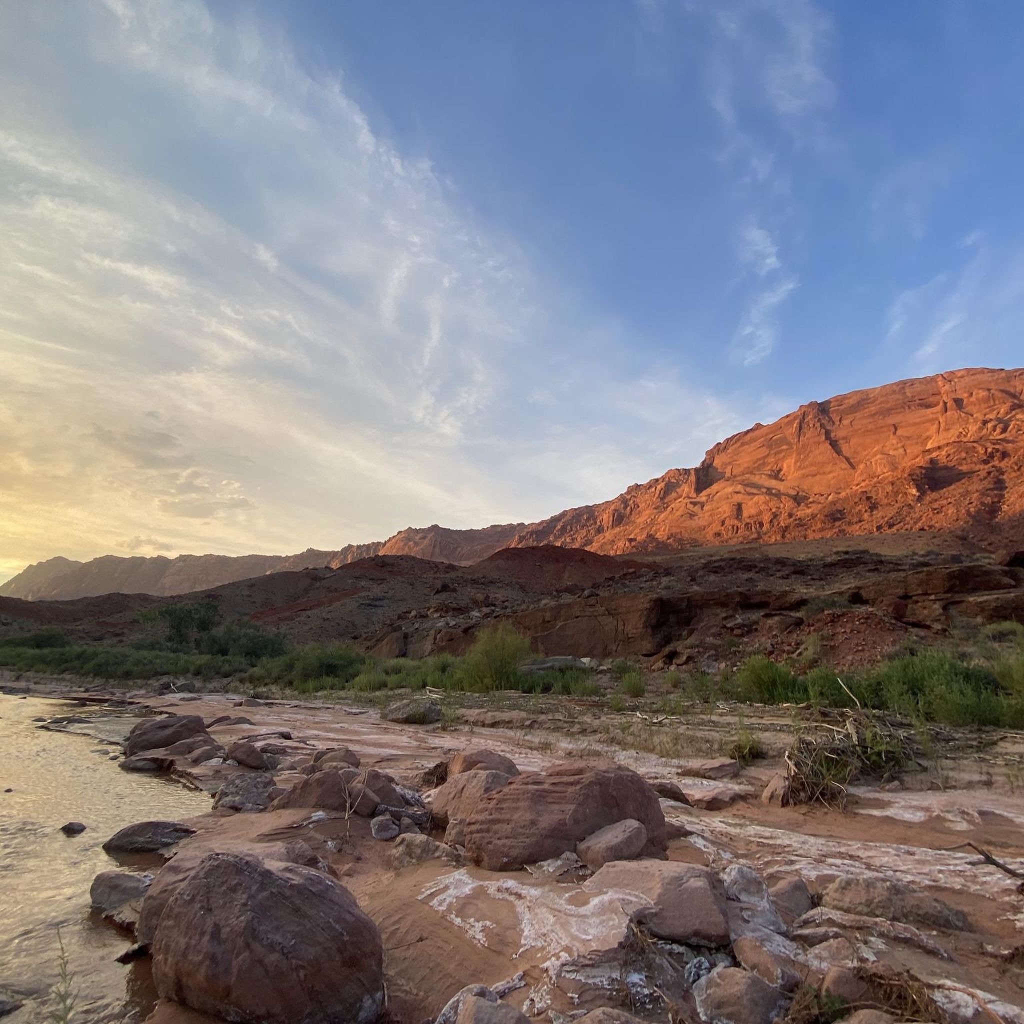
Hiking in Vermilion Cliffs National Monument offers exploration across 280,000 acres of rugged landscapes in northern Arizona. The monument is characterized by towering sandstone formations, notably the Vermilion Cliffs themselves, which display striking red and orange hues. The terrain includes expansive high desert plateaus, deep slot canyons like Buckskin Gulch, and unique geological features such as those found in Coyote Buttes and White Pocket. This region provides diverse ecosystems and a record of Earth's geological history through its layered sandstone,…
Last updated: October 10, 2026
14.0km
03:47
180m
180m
Moderate hike. Good fitness required. Easily-accessible paths. Suitable for all skill levels.
25.2km
06:45
260m
340m
Hard hike. Very good fitness required. Easily-accessible paths. Suitable for all skill levels.

1
hikers
2.71km
00:43
20m
20m
Easy hike. Great for any fitness level. Easily-accessible paths. Suitable for all skill levels.
1
hikers
11.3km
03:11
230m
230m
Moderate hike. Good fitness required. Easily-accessible paths. Suitable for all skill levels.
12.2km
03:31
290m
290m
Moderate hike. Good fitness required. Easily-accessible paths. Suitable for all skill levels.
Get access to more routes and recommendations from other explorers.
Already have an account?
Our route recommendations are based on thousands of hikes, rides, and runs completed by other people on komoot.
Start today with a free account
Your next adventure awaits.
Popular around Vermilion Cliffs National Monument
Tips from the Community


Coyote Buttes South through Cottonwood Cove Access Point
0
0
be aware, my phone was constantly jumping from one time zone to another, so it was difficult to have a right time if you hike with friends and split at some point
0
0
Permit Area, difficult access, 4 wheels high clearance needed. We played lottery to be able to win the access permit. The BLM Office gave us a detailed description of the access. We took a House Rock Valley Road (BLM 1065) and then Red Pocket Road till Cottonwood Cove Access Point. We couldn't drive fast, so it took un about 2h30 by 4X4 to get at the Trailhead. FUN Fact: the coyote buttes are situated very close to the border between UTAH and ARIZONA. The mobile phone was constantly jumping from UTAH timezone to Arizona Time zone + 1h -1h. so if you hike with friends and give an appointment be aware of the timezone!
0
0

This lone ponderosa pine sitting on sloped brain rock is one of the surreal features you can find in the White Pocket area. It is a super interesting subject for photography. There is a second lone tree located a little ways behind it, but the sloped rock platform really makes this one unique.
1
0
This trailhead is an entry point to Buckskin Gulch and the Paria Canyon-Vermilion Cliffs Wilderness. It has direct access to the Wire Pass Trail through Coyote Gulch and also connects to Coyote Buttes North. It requires a $6 day-use permit and a special lottery permit to enter Coyote Buttes North.
0
0
Frequently Asked Questions
Do I need a permit to hike in Vermilion Cliffs National Monument?
Yes, permits are required for certain popular and fragile areas within the monument. Specifically, access to The Wave in Coyote Buttes North, as well as hikes into Buckskin Gulch and the Paria River Canyon, require permits. These are often obtained through a lottery system due to high demand and conservation efforts. For more information on permits and regulations, you can visit the Bureau of Land Management website.
What are some unique geological formations I can see while hiking?
Vermilion Cliffs National Monument is renowned for its extraordinary geological features. You can explore areas like White Pocket, which features unique swirled rock formations, hoodoos, and 'brain rocks.' The monument is also home to towering sandstone formations, slot canyons, and striated layers of fossilized sand dunes, all carved by wind and water over millions of years. The vibrant colors range from orange, yellow, and red to purple, pink, and tan.
Are there any easy hiking trails suitable for families?
Yes, Vermilion Cliffs National Monument offers a variety of trails, including 25 easy routes. An excellent option for families is the White Pocket Trail, which is 1.7 miles (2.7 km) long and takes about 43 minutes to complete. This easy route allows you to experience the unique 'brain rocks' and other fascinating formations without a strenuous climb.
What is the best time of year to go hiking in Vermilion Cliffs National Monument?
The best times to hike in Vermilion Cliffs National Monument are typically spring (March to May) and fall (September to November). During these seasons, temperatures are more moderate, making for comfortable hiking conditions. Summers can be extremely hot, and winters can bring cold temperatures and occasional snow, though hiking is possible year-round with proper preparation.
What should I pack for a hike in Vermilion Cliffs National Monument?
Given the remote and rugged nature of the monument, it's crucial to be well-prepared. Essential items include plenty of water (more than you think you'll need), sun protection (hat, sunscreen, sunglasses), sturdy hiking boots, navigation tools (map, compass, GPS), first-aid supplies, and extra food. Many areas lack cell service, so be self-sufficient. A high-clearance, 4x4 vehicle is often necessary to access trailheads.
Are there alternatives to hiking The Wave that offer similar unique rock formations?
Yes, if you are unable to secure a permit for The Wave, White Pocket is an excellent alternative. It features equally unique swirled rock formations, hoodoos, and 'brain rocks' in a remote setting, and does not require a permit. While access often requires a 4x4 vehicle, it offers incredible photography opportunities and a sense of solitude similar to The Wave.
What kind of wildlife can I expect to see while hiking?
Vermilion Cliffs National Monument is a haven for diverse wildlife. Keep an eye out for desert bighorn sheep, which are often seen in the rugged terrain. The monument is also home to a significant population of endangered California condors, which can frequently be spotted soaring high above the cliffs, particularly near the Navajo Bridge in Marble Canyon.
Are there any challenging hikes for experienced hikers?
Yes, for experienced hikers seeking a challenge, the monument offers routes that require advanced navigation and endurance. While specific named 'difficult' routes are fewer, the remote and untamed nature of the monument means many hikes involve cross-country travel, significant elevation changes, and require strong wilderness skills. The Wired Rocks via Cottonwood Teepee Trail is a moderate 7.1-mile path that provides a good workout through varied desert terrain.
What do other hikers enjoy most about Vermilion Cliffs National Monument?
The area is highly rated by the komoot community, with an average score of 4.6 stars from over 439 reviews. Reviewers often praise the monument's unparalleled solitude, the breathtaking and unique geological formations, and the incredible opportunities for photography. Many appreciate the feeling of exploring an untouched wilderness and the vibrant colors of the landscape.
Are there any notable landmarks or attractions near the hiking trails?
Beyond the trails themselves, the monument offers several remarkable natural attractions. You can visit The Wave (with a permit), explore the unique formations at Coyote Buttes South (Brain Rocks), or marvel at The Swirl. The Navajo Bridge in Marble Canyon also offers stunning views of the Colorado River and is a known spot for condor sightings.
How many hiking trails are available in Vermilion Cliffs National Monument?
There are over 50 hiking trails available in Vermilion Cliffs National Monument, catering to various skill levels. This includes 25 easy routes, 26 moderate routes, and a few more challenging options, ensuring there's something for every hiker looking to explore this unique landscape.
Is it possible to find circular hiking routes in the monument?
Yes, while many routes in Vermilion Cliffs National Monument are out-and-back, there are also circular options available. For example, the The Wave – Wire Pass Trailhead loop from Coyote Buttes North offers a 7.6-mile (12.2 km) loop experience, allowing you to see varied scenery without retracing your steps. Another option is the Cathedral Wash - lower canyon loop, which is 8.7 km long.
Most popular routes in Vermilion Cliffs National Monument
Most popular attractions in Vermilion Cliffs National Monument

Get inspired with the komoot mobile app


Explore more
Browse the best Hikes in other regions.
