The best walks and hikes in James M. Robb - Colorado River State Park
4.8
(77)
987
hikers
73
hikes
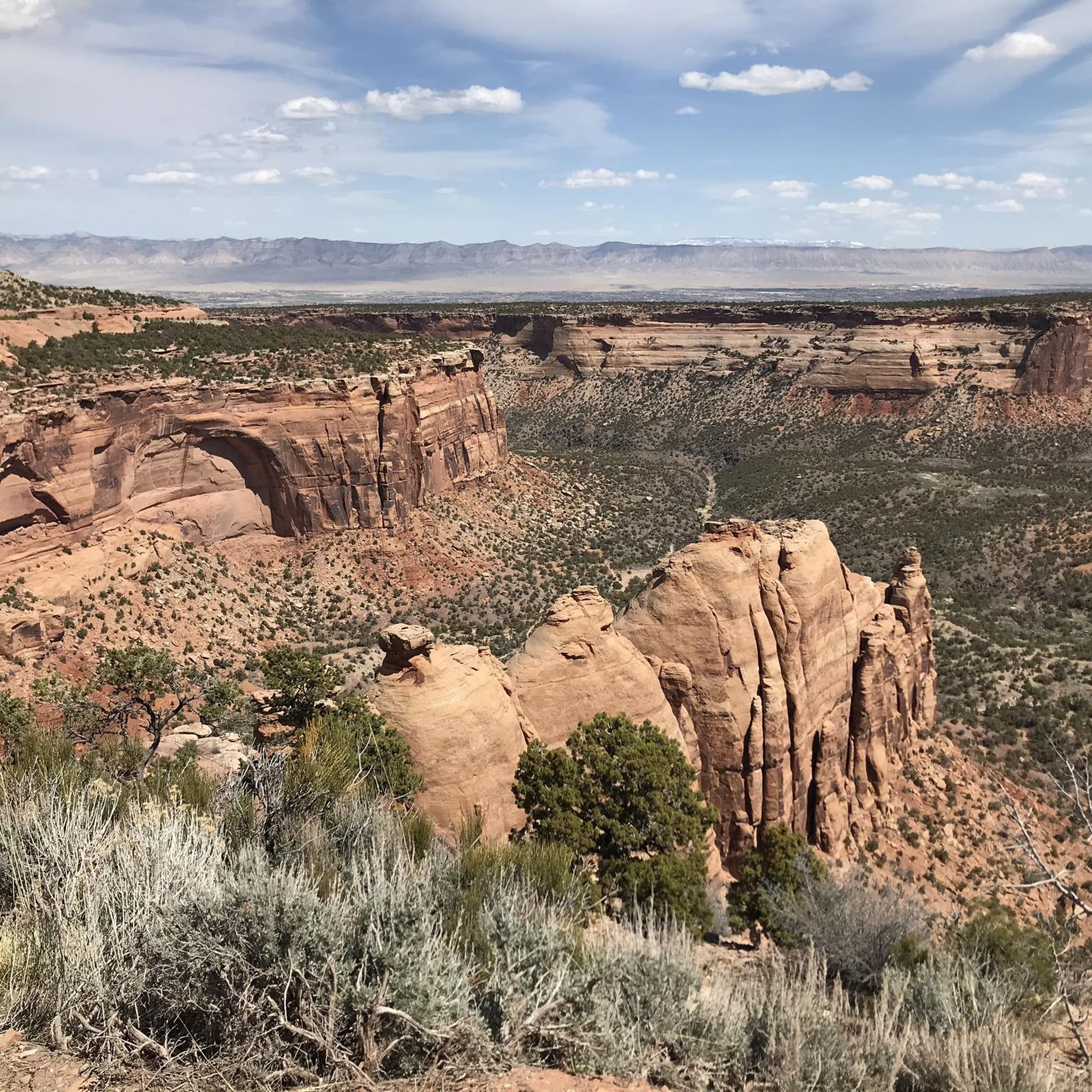
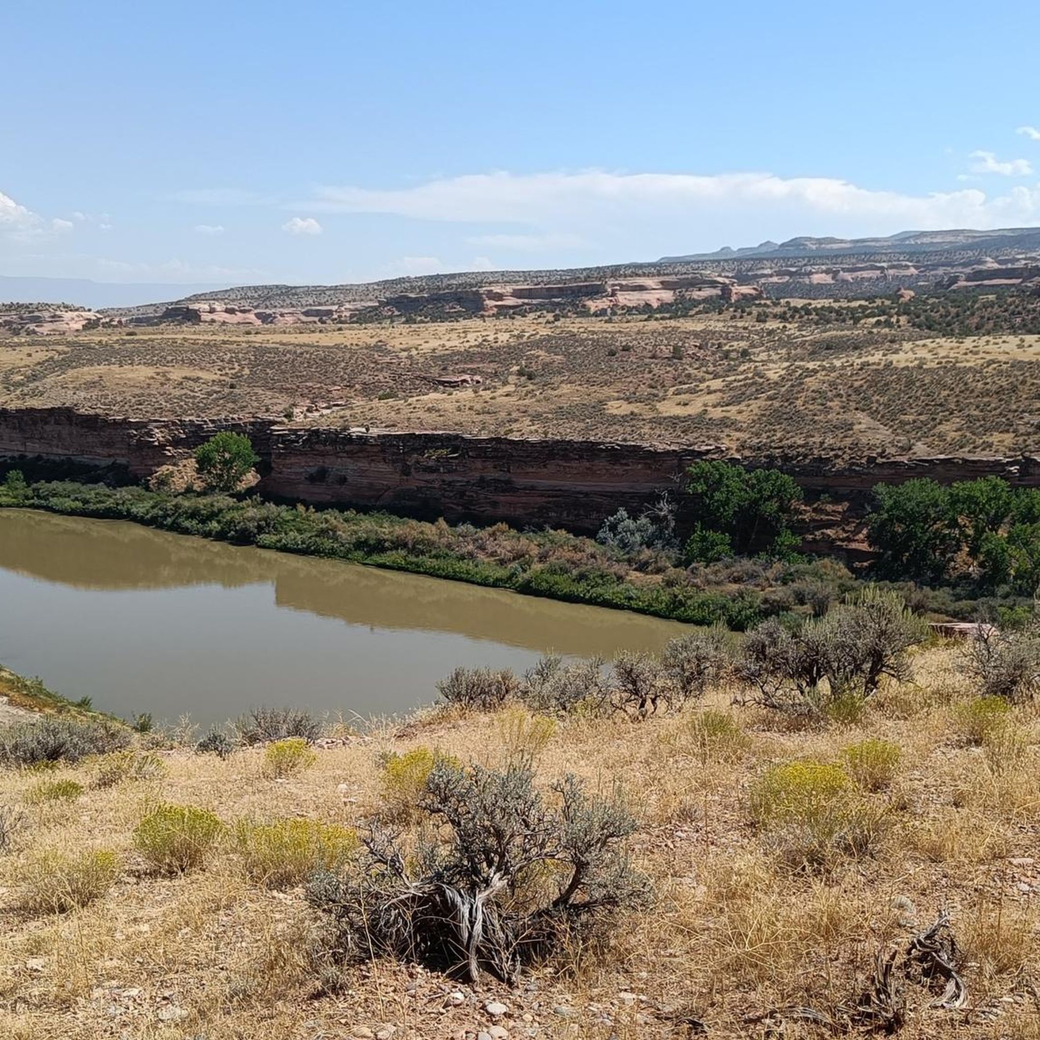
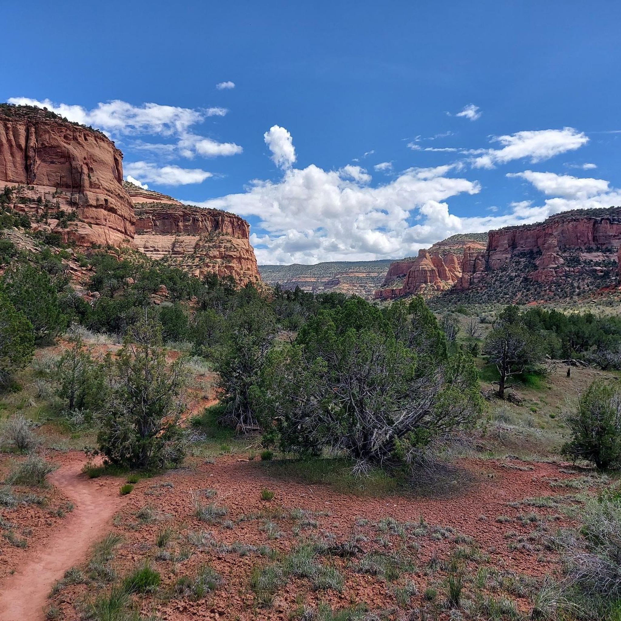
Hiking in James M. Robb - Colorado River State Park offers trails along the Colorado River, transitioning from lush riparian zones to arid desert environments. The park's five distinct sections feature tranquil lakes, dramatic desert cliffs, and sandstone canyons. This unique "string of pearls" design provides varied terrain for outdoor exploration.
Best hiking trails in James M. Robb - Colorado River State Park
- The most popular hiking route is Connected Lakes Trail loop — James M. Robb - Colorado River State Park, a 2.1 miles (3.3 km) trail that takes 50 minutes to complete. This easy loop offers peaceful lakeside views and opportunities for birdwatching along the Colorado River.
- Another top favourite among local hikers is Devil's Canyon Trail loop from Devils Canyon Trailhead, an easy 2.3 miles (3.7 km) path. This trail provides an accessible hike through the canyon landscape, typically completed in about 1 hour.
- Local hikers also love the Pitchfork Tower – Devil's Canyon Trail loop from Devils Canyon Trailhead, a 6.8 miles (10.9 km) trail leading through varied desert terrain, often completed in about 3 hours 2 minutes.
- Hiking in James M. Robb - Colorado River State Park is defined by riverside paths, desert cliffs, and serene lakes. The network offers options for different ability levels, from easy strolls to moderate trails with greater elevation gain.
- The routes in James M. Robb - Colorado River State Park are highly rated by the komoot community with an average score of 4.8 stars from more than 50 reviews. More than 800 hikers have used komoot to explore James M. Robb - Colorado River State Park's varied terrain.
Last updated: July 7, 2026
2
hikers
1.72km
00:27
10m
10m
Easy hike. Great for any fitness level. Easily-accessible paths. Suitable for all skill levels.
5.75km
01:28
20m
10m
Easy hike. Great for any fitness level. Easily-accessible paths. Suitable for all skill levels.

Sign up for free
11
hikers
3.35km
00:51
10m
10m
Easy hike. Great for any fitness level. Easily-accessible paths. Suitable for all skill levels.
4.7
(3)
4
hikers
3.06km
00:49
40m
40m
Easy hike. Great for any fitness level. Easily-accessible paths. Suitable for all skill levels.
5.0
(1)
3
hikers
2.83km
00:47
50m
50m
Easy hike. Great for any fitness level. Easily-accessible paths. Suitable for all skill levels.
Get access to more routes and recommendations from other explorers.
Sign up for free
Already have an account?
Our route recommendations are based on thousands of hikes, rides, and runs completed by other people on komoot.
Start today with a free account
Your next adventure awaits.
Login or Signup
Tips from the Community

This pond is nestled into some trees and along a winding path. In the fall you can enjoy all the leaves changing colors, with the pond freezing in the winter. Be careful going around it as slick leaves can be deposited right on the trail.
0
0
Connected Lakes Trail offers a flat hike that almost anyone can enjoy. It's nice to be surrounded by water and have tree covered trails to partially escape the sun.
1
0
Frequently Asked Questions
How many hiking trails are there in James M. Robb - Colorado River State Park?
James M. Robb - Colorado River State Park offers a wide variety of hiking experiences, with over 50 trails available. These range from easy strolls to more moderate paths, catering to different fitness levels.
What is the typical terrain and difficulty level of hiking trails in James M. Robb - Colorado River State Park?
The park's terrain is quite diverse, transitioning from lush riverside vegetation along the Colorado River to arid desert environments. You'll find hard-packed trails, natural surfaces, and paths winding through canyons and along lakes. The majority of trails are considered easy, with 29 easy routes and 22 moderate routes. For those seeking more challenge, there are 4 difficult routes available.
Are there family-friendly hiking options in James M. Robb - Colorado River State Park?
Yes, James M. Robb - Colorado River State Park is an excellent destination for families. Many trails are easily accessible and suitable for all skill levels, including short hikes perfect for children. For example, the Connected Lakes Trail loop offers peaceful lakeside views and is ideal for a family outing.
Are dogs allowed on the trails in James M. Robb - Colorado River State Park?
While the region research doesn't explicitly detail the dog policy for every trail, state parks in Colorado generally allow dogs on trails if they are kept on a leash. It's always best to check specific signage at trailheads or the official park website for the most current pet regulations.
What natural features or landmarks can I expect to see while hiking in the park?
The park is known for its intimate connection to the Colorado River, offering picturesque views along its banks. You'll encounter tranquil lakes like Corn Lake and Red Rocks Lake, dramatic desert cliffs, and stunning sandstone canyons, especially in the Island Acres section. The diverse ecosystems showcase a transition from moisture-loving plants near the river to drought-tolerant species in higher, arid areas.
What is the best time of year to go hiking in James M. Robb - Colorado River State Park?
The park offers hiking opportunities throughout the year. However, spring and fall generally provide the most comfortable temperatures for hiking, avoiding the intense heat of summer and potential snow or ice in winter. These seasons also offer excellent opportunities for birdwatching and enjoying the changing landscapes.
Are there many circular hiking routes in James M. Robb - Colorado River State Park?
Yes, the park features several circular routes. A notable example is the Devil's Canyon Trail loop from Devils Canyon Trailhead, which provides an accessible hike through the canyon landscape in about an hour.
What kind of wildlife can I expect to see while hiking?
The park's diverse plant and wildlife offer excellent opportunities for nature observation. Along the riverbanks, you might spot various bird species, while the more arid areas host different desert wildlife. Keep an eye out for local fauna as you explore the varied ecosystems.
Is parking available at the trailheads in James M. Robb - Colorado River State Park?
Yes, parking is generally available throughout the five sections of James M. Robb - Colorado River State Park, providing convenient access to the various trailheads. Specific parking areas are usually well-marked within each section.
What do other hikers enjoy the most about hiking in James M. Robb - Colorado River State Park?
The area is highly rated by the komoot community, with an average score of 4.8 stars from over 50 reviews. Reviewers often praise the peaceful lakeside views, the diverse landscapes ranging from riverside to desert, and the well-maintained trails suitable for various skill levels. The opportunity for birdwatching and the scenic beauty of the Colorado River are frequently highlighted.
Are there any longer, more challenging hikes for experienced hikers?
While many trails are easy to moderate, there are options for those seeking a greater challenge. The Pitchfork Tower – Devil's Canyon Trail loop from Devils Canyon Trailhead is a moderate 6.8-mile trail that leads through varied desert terrain with greater elevation gain, typically taking about three hours to complete.
What makes James M. Robb - Colorado River State Park unique for hiking?
The park's unique 'string of pearls' design, encompassing five distinct sections along 35 miles of the Colorado River, makes it special. Each section offers different landscapes, from lush riparian zones to dramatic desert cliffs and tranquil lakes, providing a wide array of hiking experiences within a single park system.
Most popular routes in James M. Robb - Colorado River State Park
Most popular attractions in James M. Robb - Colorado River State Park

Get inspired with the komoot mobile app


Explore more
Browse the best Hikes in other regions.
