The best walks and hikes in Jordanelle State Park
4.5
(27)
866
hikers
61
hikes
Hiking in Jordanelle State Park offers diverse terrain set against the backdrop of the Jordanelle Reservoir and surrounding mountain ranges, including the Wasatch and Uinta Mountains. The park's elevation, at 6,166 feet, features a mix of landscapes from gentle, sloping switchbacks to packed dirt paths along the reservoir's shoreline. Hikers can experience expansive lake views and varied natural features, including wetlands in the Rock Cliff area.
Best hiking trails in Jordanelle State Park
- The most popular hiking route is Skyridge Peak Trail — Park City, a 4.7 miles (7.6 km) moderate trail that takes 2 hours 45 minutes to complete. This route provides 360-degree views of the surrounding mountains and Jordanelle Reservoir from its 7,365-foot peak.
- Another top favourite among local hikers is Armstrong Trail – City Park loop from PC Hill, a moderate 8.6 miles (13.8 km) path. This trail is suitable for various skill levels and offers accessible sections.
- Local hikers also love the Park City Downtown – Town Lift loop from Park City, a 3.5 miles (5.7 km) trail leading through urban and natural landscapes near Park City, often completed in about 1 hour 40 minutes.
- Hiking in Jordanelle State Park is defined by reservoir views, mountain panoramas, and diverse terrain ranging from switchbacks to shoreline paths. The network offers options for easy, moderate, and challenging ability levels.
- The routes in Jordanelle State Park are highly rated by the komoot community with an average score of 4.5 stars from over 24 reviews. More than 700 hikers have used komoot to explore Jordanelle State Park's varied terrain.
Last updated: July 8, 2026
1.75km
00:27
10m
10m
Easy 1.1-mile hike along the Provo River in Jordanelle State Park, offering peaceful riverside views and vistas of Mount Timpanogos.
9.30km
02:29
100m
110m
Hike the moderate 5.8-mile Jordanelle Perimeter Trail in Jordanelle State Park, offering reservoir views and diverse terrain.

Sign up for free
14
hikers
7.60km
02:45
250m
250m
Hike the 4.7-mile Skyridge Peak Trail for moderate difficulty, panoramic views of Jordanelle Reservoir, and wildflowers.
8
hikers
8.68km
02:48
250m
250m
Moderate hike. Good fitness required. Mostly accessible paths. Sure-footedness required.
7
hikers
6.74km
02:03
340m
70m
Embark on the Deer Crest Trail for a moderate hike that offers a good workout within the Deer Valley Resort. You will cover 4.2 miles (6.7 km) and gain 1118 feet (341 metres) in elevation, which typically takes about 2 hours and 2 minutes to complete. The path winds through varied terrain, from smooth singletrack sections with tight switchbacks to deep forest, eventually opening up to sunnier slopes with views of the lower mountain areas of the resort.
Planning your visit to the Deer Crest Trail is straightforward, as parking is generally available within the Deer Valley Resort area, providing easy access to the trailhead. This route is a popular multi-use path, so you can expect to encounter mountain bikers and trail runners during your outing. All intersections along the way are clearly marked, making navigation simple and allowing you to focus on your hike.
The Deer Crest Trail is a notable option if you are looking to explore the Park City area, offering a distinct experience within the resort's landscape. Its design as a multi-use path means it caters to various outdoor enthusiasts, adding to its dynamic character. This trail provides a solid opportunity to engage with the natural surroundings while enjoying the amenities and accessibility of a resort setting.
Get access to more routes and recommendations from other explorers.
Sign up for free
Already have an account?
Our route recommendations are based on thousands of hikes, rides, and runs completed by other people on komoot.
Start today with a free account
Your next adventure awaits.
Login or Signup

Tips from the Community

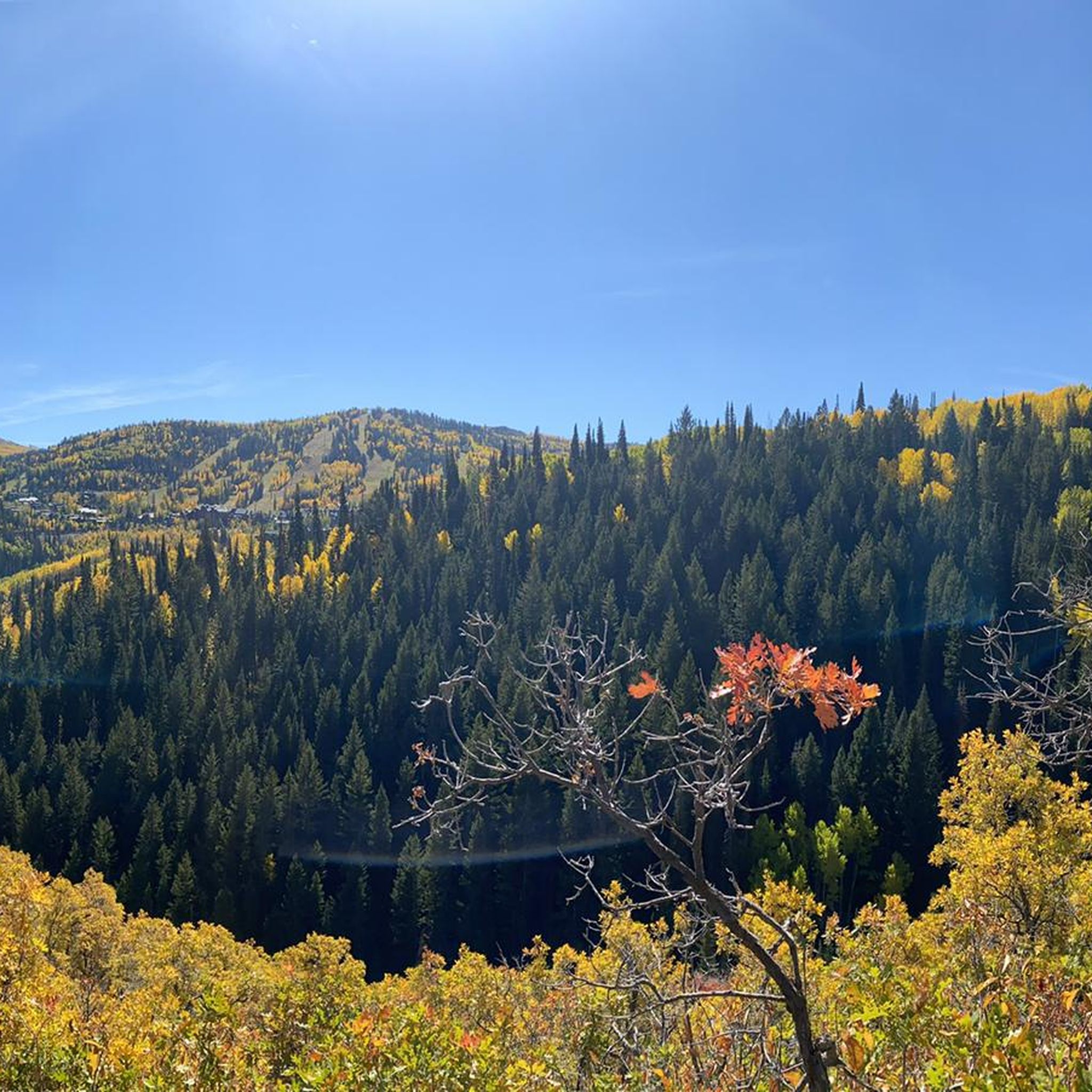
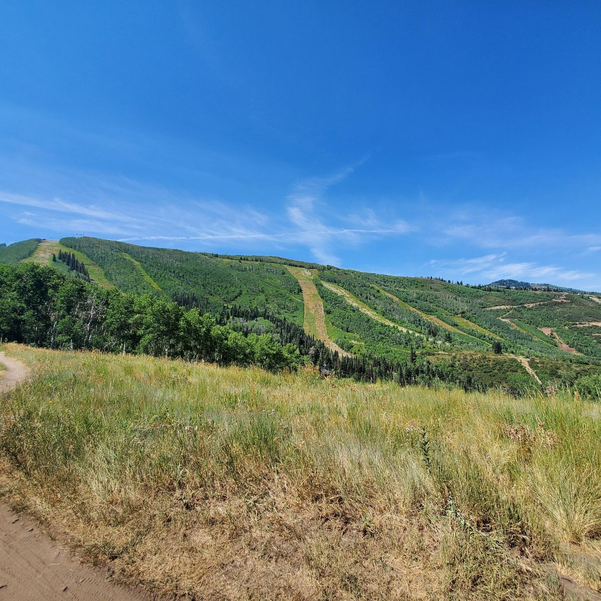
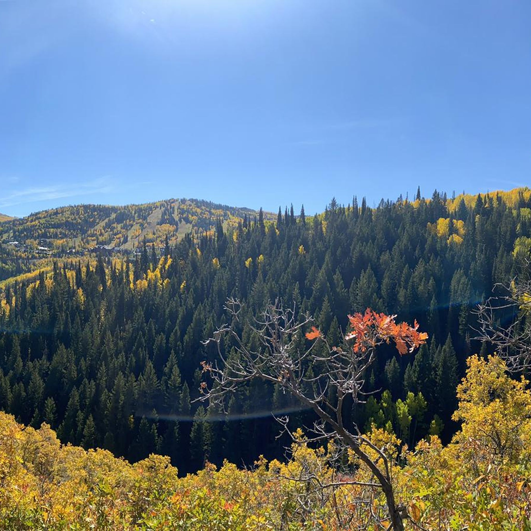
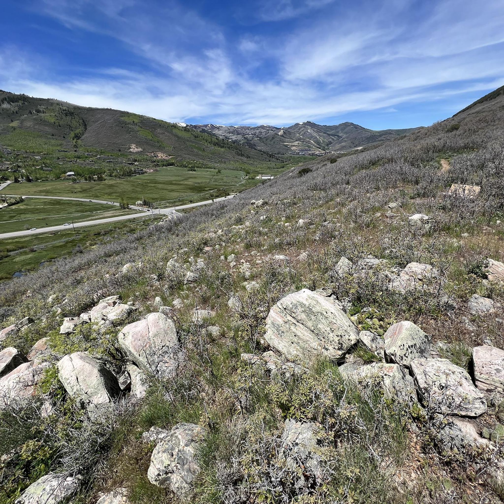
Skyridge Peak offers gentle sloping switchbacks and a great hike with little to no shade. Once you reach the peak, enjoy 360-degree views of the surrounding mountains and Jordanelle Reservoir. This trail is popular for spotting wildflowers. The peak, marked with a blue sign, is at 7,365 feet.
0
0
Frequently Asked Questions
What types of hiking trails can I expect in Jordanelle State Park?
Jordanelle State Park offers a diverse range of hiking experiences, from gentle, sloping switchbacks to more challenging routes along packed dirt paths. You'll find trails with expansive views of the Jordanelle Reservoir and surrounding mountains, including the Wasatch and Uinta ranges. The park's elevation, at 6,166 feet, contributes to varied landscapes.
Are there any easy or accessible hiking trails in Jordanelle State Park?
Yes, Jordanelle State Park features several easy trails suitable for various skill levels. For instance, the Park City Downtown – Town Lift loop from Park City is an easy 3.5-mile trail. The Around the Masonic Hill and the April Mountain route is another easy option, covering about 3.6 miles. The Armstrong Trail – City Park loop also offers accessible sections.
What are the best trails for panoramic views in Jordanelle State Park?
For stunning panoramic views, consider the Skyridge Peak Trail — Park City. This moderate trail leads to a 7,365-foot peak, offering 360-degree vistas of the surrounding mountains and the Jordanelle Reservoir. Another excellent option is the Skyridge Peak loop from Skyridge Peak, which also provides similar expansive views.
Can I find loop trails in Jordanelle State Park?
Yes, there are several loop trails available. The Armstrong Trail – City Park loop from PC Hill is a moderate 8.6-mile loop. Other loop options mentioned in the region research include the Wada Way Loop (1.85 miles) and the Keetley Loop (1.69 miles).
What kind of wildlife can I expect to see while hiking in Jordanelle State Park?
Jordanelle State Park is home to a variety of wildlife. Hikers often spot mule deer, moose, elk, and beavers. Birdwatchers can look out for bald eagles, ospreys, and other bird species, particularly in the Rock Cliff area, which features a boardwalk over wetlands.
Are there any specific natural features or landmarks to look out for?
The Jordanelle Reservoir itself is a prominent feature, offering expansive lake views along many trails. The Rock Cliff area is notable for its wetlands and a unique boardwalk. Hikers can also enjoy views of Mount Timpanogos and the Uinta Mountains. Wildflowers are often seen along trails like Skyridge Peak during the appropriate season.
What do other hikers say about the trails in Jordanelle State Park?
The trails in Jordanelle State Park are highly rated by the komoot community, with an average score of 4.5 stars from over 24 reviews. Hikers frequently praise the diverse terrain, the stunning reservoir views, and the mountain panoramas.
Is Jordanelle State Park suitable for family hikes?
Yes, the park offers trails suitable for families. There are easy and accessible paths, such as sections of the Armstrong Trail – City Park loop, and shorter loop trails like the Wada Way Loop and Keetley Loop, which are classified as easy and are great for all skill levels.
What are the parking options for hiking in Jordanelle State Park?
Jordanelle State Park has three distinct recreation areas—Hailstone, Rock Cliff, and Ross—each providing access to different trails. Non-motorized access to the Perimeter Trail, for example, is available from the Ross Creek Recreation Area. Parking is generally available within these designated areas, though specific details for each trailhead may vary.
When is the best time of year to hike in Jordanelle State Park?
The park is popular for hiking during warmer months when trails are clear. However, it also offers activities in winter, such as snowmobiling and snowshoeing on snowy trails. Due to limited shade on some trails like the Perimeter Trail, planning for sun protection is advisable during summer. The Rock Cliff Nature Area is also a certified International Dark Sky Park, making it excellent for stargazing after a day hike.
Are there any challenging hikes in Jordanelle State Park?
While many trails are moderate or easy, some routes, like the full 30.5-mile Perimeter Trail that follows the reservoir's shoreline, can be considered moderately challenging due to its length and significant elevation changes. The park features a mix of terrains that can cater to those seeking a more strenuous experience.
Can I combine hiking with other activities at Jordanelle State Park?
Absolutely. Jordanelle State Park is a hub for numerous outdoor activities. Beyond hiking, visitors can enjoy fishing, swimming, camping, boating, and water sports like wakeboarding, waterskiing, kayaking, and paddleboarding on the Jordanelle Reservoir. The park also provides amenities such as picnic areas and campgrounds.
Most popular routes in Jordanelle State Park

Get inspired with the komoot mobile app


Explore more
Browse the best Hikes in other regions.
