The best running trails in Saint Vrain State Park
4.0
(1)
207
runners
28
runs
Jogging in Saint Vrain State Park offers accessible and generally flat trails, ideal for various running experiences. The park features numerous ponds and waterways, including Pelican Pond and Blue Heron Reservoir, which contribute to its diverse natural setting. Riparian and wetland habitats with plains cottonwood trees and willows line the routes, providing shaded sections and scenic views. Distant views of Longs Peak and the Rocky Mountains are also visible from many points within the park.
Best jogging routes in Saint Vrain State Park
- The most popular jogging route is Saint Vrain State Park – Saint Vrain State Park loop from Firestone, a 6.1 miles (9.9 km) moderate trail that takes 1 hour 4 minutes to complete. This route offers views of the park's various ponds and accessible paths.
- Another top favourite among local runners is Running loop from Firestone, a difficult 10.3 miles (16.6 km) path. This longer route provides an extended running experience through the park's varied landscapes.
- Local runners also love the Saint Vrain River Trail – St. Vrain River Trail loop from Sandstone Ranch E2 Large Shelter, a 3.3 miles (5.3 km) trail leading through the Saint Vrain River area, often completed in about 33 minutes.
- Jogging in Saint Vrain State Park is defined by its flat trails, numerous ponds, and riparian habitats. The network offers options for easy, moderate, and difficult running routes, catering to different ability levels.
- The routes in Saint Vrain State Park are highly rated by the komoot community with an average score of 4.0 stars from a review. More than 200 runners have used komoot to explore Saint Vrain State Park's varied terrain.
Last updated: October 2, 2026
6
runners
Moderate run. Good fitness required. Mostly paved surfaces. Suitable for all skill levels.
8
runners
17.0km
01:52
80m
80m
Hard run. Very good fitness required. Mostly paved surfaces. Suitable for all skill levels.

7
runners
Moderate run. Good fitness required. Mostly paved surfaces. Suitable for all skill levels.
25
runners
Hard run. Very good fitness required. Mostly paved surfaces. Suitable for all skill levels.
5
runners
7.85km
00:49
40m
40m
Moderate run. Good fitness required. Mostly paved surfaces. Suitable for all skill levels.
Get access to more routes and recommendations from other explorers.
Already have an account?
Our route recommendations are based on thousands of hikes, rides, and runs completed by other people on komoot.
Start today with a free account
Your next adventure awaits.
Tips from the Community

This is the intersection of the Saint Vrain Greenway and Left Hand Creek Trail Trailhead. The Left Hand Creek Trail will take you all the way into Boulder, so it is a great way to go from Union Reservoir into the city.
0
0

The St. Vrain River Trail is the "crown jewel" of Longmont's trail system as it links many parks, schools, other trails, and commercial areas via an attractive, well-maintained concrete path. This is a great way to get off the roads as you hike around Longmont!
0
0
The Union Reservoir Nature Area in Longmont, Colorado, is a picturesque recreational haven. This 736-acre body of water, originally named Calkins Lake, is a natural glacial lake and one of only a few in Colorado. The area offers a variety of activities, making it a popular destination for locals and visitors alike. Visitors can enjoy fishing, kayaking, paddleboarding, sailing, and even windsurfing. Swimming is allowed in designated areas, and there's a sandy beach for sunbathers as well as a designated dog beach. For those who prefer land-based activities, there are trails for hiking and biking that offer scenic views of the reservoir and the surrounding landscape. Wildlife enthusiasts will appreciate the chance to observe birds and other animals around the water. The area is also known for its truly stunning sunsets, providing an amazing end to a day spent outdoors.
0
0

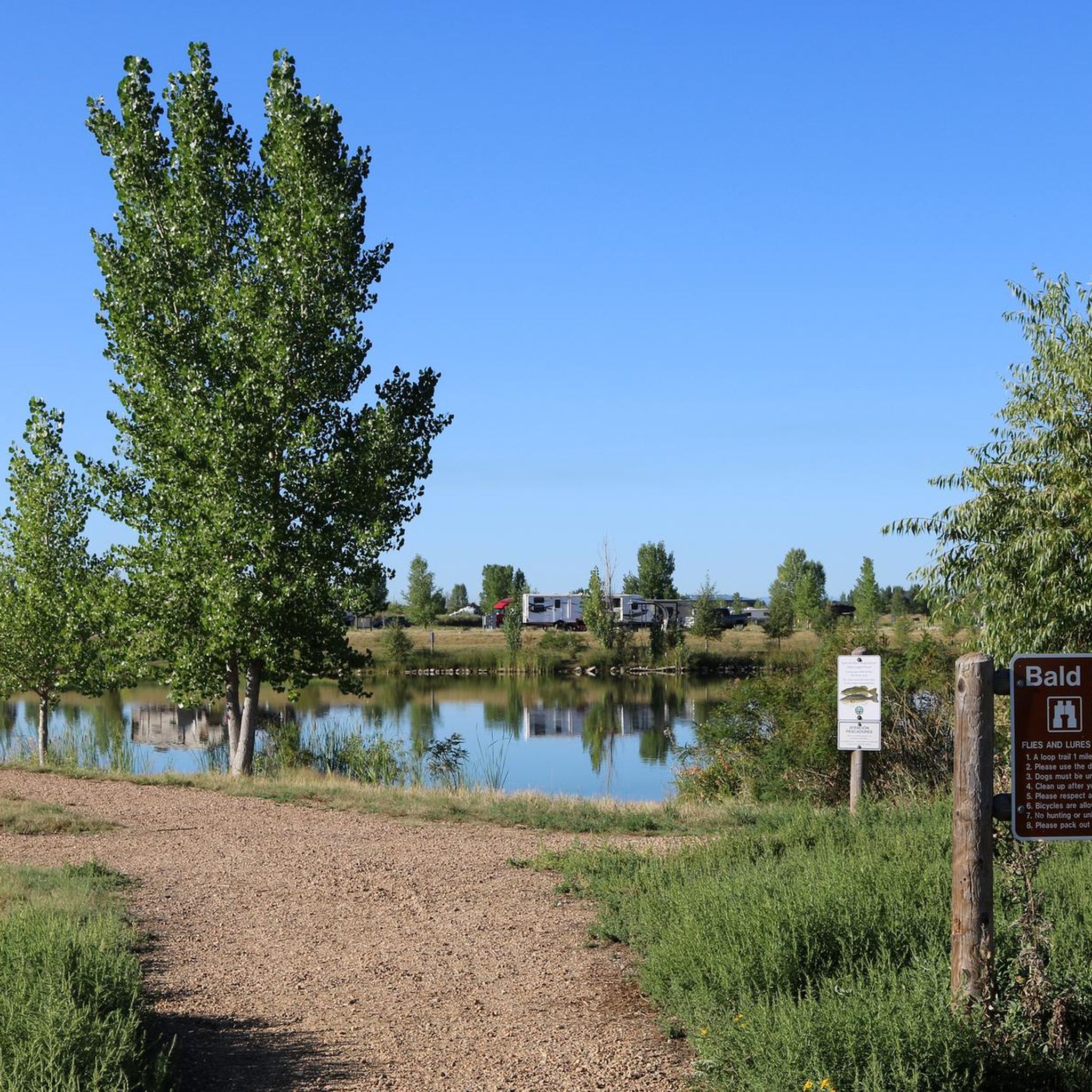
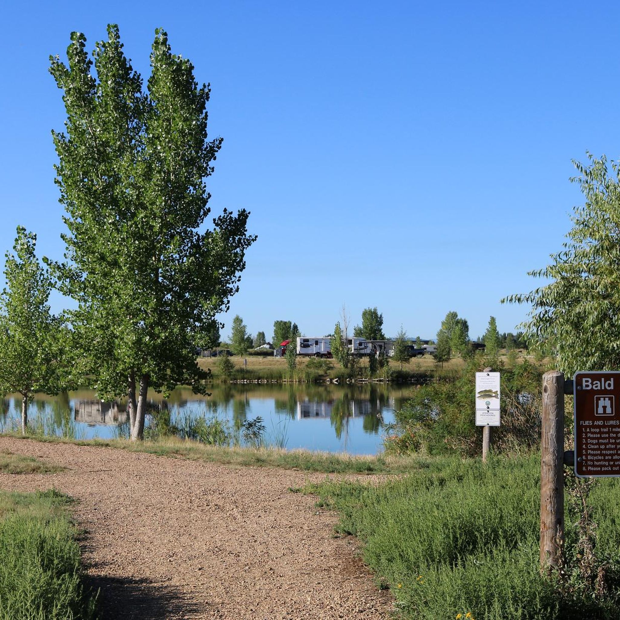
Mallard Pond sits in St. Vain State Park, surrounded by many other ponds, with St. Vrain River and Last Chance Ditch passing close by, offering views of the mountains in the background. The ponds in this area have many species of fish, with designated fishing spots close to the campsites. This specific pond has Mallard Campground close to it, with toilets available and RV sites.
0
0

Saint Vrain State Park offers 232 acres of water and 87 campsites on 604 acres of recreational land, making it a great spot for anglers, campers, and birders.
0
0
The St. Vrain River Trail is the "crown jewel" of Longmont's trail system as it links many parks, schools, other trails, and commercial areas via an attractive, well-maintained concrete path. This is a great way to get off the roads as you run around Longmont!
0
0

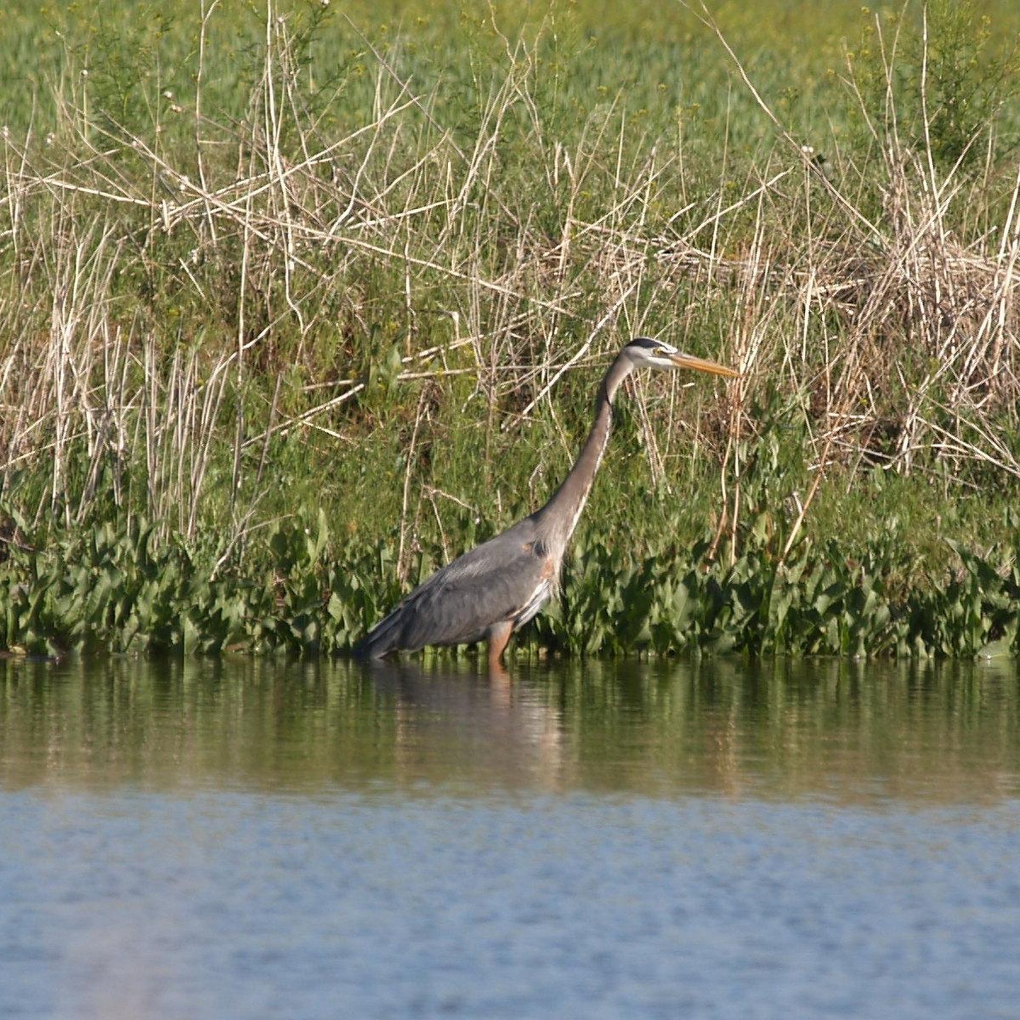
Saint Vrain State Park is a refugee for birds like the proud bald eagle and pelicans. Numerous ponds and the Last Chance Ditch provide an idyllic landscape for a hike close to nature. You can also come for fishing, camping or birding.
2
0
Frequently Asked Questions
How many running routes are available in Saint Vrain State Park?
Saint Vrain State Park offers a wide selection of running routes, with over 30 options available on komoot. These routes cater to various preferences, including easy, moderate, and more challenging paths.
What kind of terrain can I expect on the jogging trails in Saint Vrain State Park?
The jogging trails in Saint Vrain State Park are predominantly flat and accessible, making them ideal for a smooth running experience. You'll find multi-use paths winding through riparian and wetland habitats, often alongside numerous ponds and the St. Vrain Creek.
Are there routes suitable for beginners or those looking for an easy run?
Yes, Saint Vrain State Park has several easy jogging routes perfect for beginners or those seeking a relaxed pace. The park's generally flat terrain ensures a comfortable experience for all skill levels.
What natural features or views can I enjoy while jogging in Saint Vrain State Park?
While running, you can enjoy serene views of the park's many ponds, such as Pelican Pond and Blue Heron Reservoir, surrounded by lush vegetation including plains cottonwood trees and willows. Distant views of Longs Peak and the majestic Rocky Mountains also provide a stunning backdrop to your run.
Is Saint Vrain State Park suitable for family-friendly jogging?
Absolutely. The park's flat, accessible, and well-maintained trails are ideal for families. Many routes are multi-use and offer a safe and enjoyable environment for all ages to jog together.
Are dogs allowed on the running trails in Saint Vrain State Park?
Yes, Saint Vrain State Park is dog-friendly. You are welcome to bring your dog along for a run, provided they are kept on a leash at all times to ensure the safety and enjoyment of all park visitors and wildlife.
What are some longer running options for experienced joggers?
For experienced runners seeking a greater challenge, Saint Vrain State Park offers several difficult routes. One such option is the Saint Vrain River Trail – St. Vrain River Trail loop from Longs Peak Hospital, which covers approximately 11.8 miles (19 km) and features a moderate elevation gain.
Are there any loop trails for jogging in Saint Vrain State Park?
Yes, many of the running routes in Saint Vrain State Park are designed as loops, offering varied scenery without retracing your steps. For example, the Saint Vrain Greenway loop from Longs Peak Learning Center is a popular moderate option covering about 5.7 miles (9.1 km).
What kind of wildlife might I spot while running in the park?
Saint Vrain State Park is a haven for wildlife. You might spot a wide variety of bird species, including the Great Blue Herons around Blue Heron Reservoir, bald eagles, and migrating waterfowl. Other animals like deer, foxes, beavers, and marmots are also frequently seen.
What do other runners enjoy most about jogging in Saint Vrain State Park?
The park is highly rated by the komoot community, with an average score of 4.0 stars. Runners often praise the park's accessible, flat trails, the beautiful pond views, and the opportunities for wildlife observation, making it a peaceful and scenic place for a run.
Is there parking available for the jogging trails?
Yes, Saint Vrain State Park is conveniently located off I-25 and offers ample parking facilities. Specific trailheads often have dedicated parking areas, making it easy to access the various running routes.
Are there any specific permits or fees required to jog in Saint Vrain State Park?
As a Colorado State Park, a valid Colorado State Parks Pass or daily entrance fee is required for vehicle entry. This fee helps maintain the park's facilities and trails. You can purchase passes at the park entrance or online.
Most popular routes in Saint Vrain State Park

Get inspired with the komoot mobile app


Explore more
Browse the best Running Trails & Routes in other regions.
