The best MTB trails in Contra Loma Regional Park
4.8
(16)
40
riders
14
rides
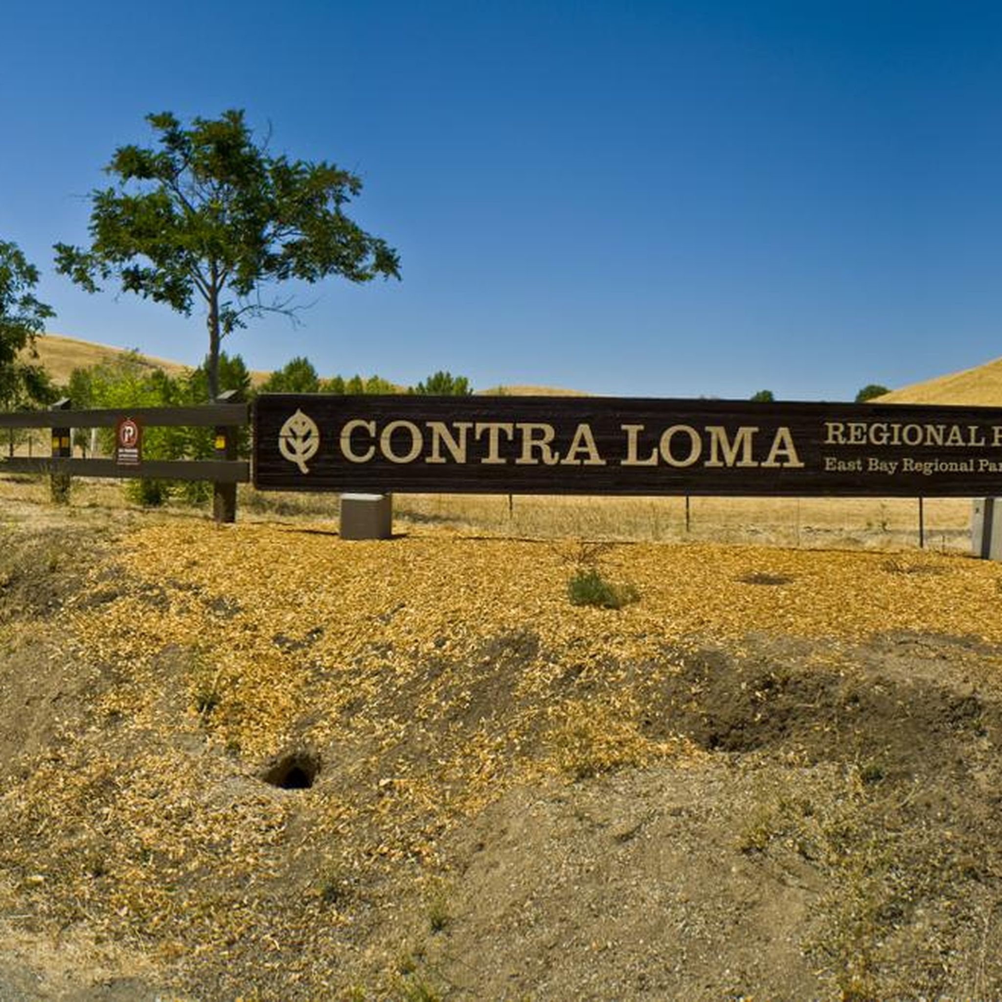
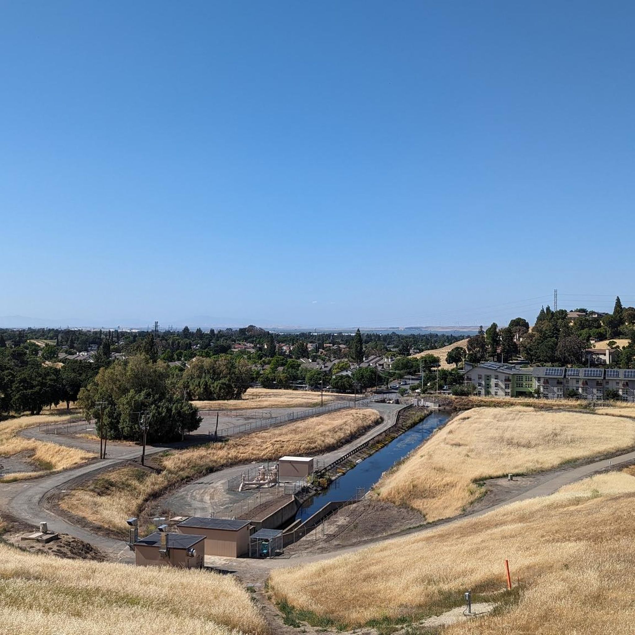
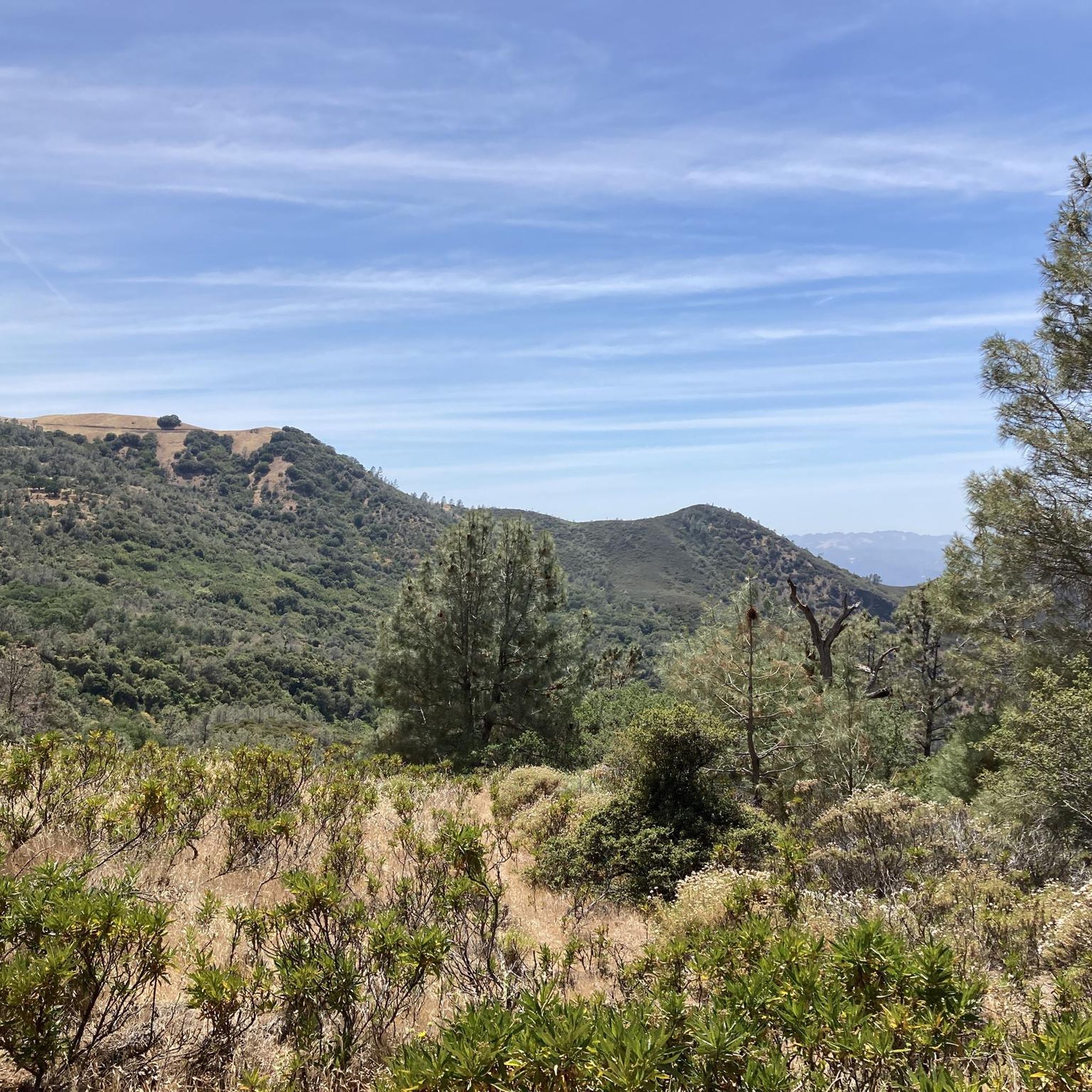
Mountain bike trails in Contra Loma Regional Park overview a landscape characterized by rolling hills and the prominent Contra Loma Reservoir. The park offers a diverse network of trails, including multi-use paths, suitable for various skill levels. Riders can explore routes that feature scenic views of the reservoir, diverse wildlife, and varied terrain with some elevation changes. The park provides approximately 6 miles (10 kilometers) of trails for mountain biking.
Best mountain bike trails in Contra Loma Regional Park
- The most popular mountain bike trail is Contra Loma Shore loop, an easy 2.6 miles (4.2 km) trail that takes about 20 minutes to complete, offering scenic views of the reservoir.
- Another top favourite among local mountain bikers is Old Homestead Loop Trail, an easy 4.6 miles (7.3 km) path. This route provides a longer excursion with some elevation gain through the park's varied terrain.
- Local mountain bikers also love the Stewartville and Ridge Trail Loop, a 4.2 miles (6.8 km) trail leading through rolling hills and offering expansive views, often completed in about 43 minutes.
- Mountain biking in Contra Loma Regional Park is defined by rolling hills, the Contra Loma Reservoir, and diverse multi-use trails. The network offers options for both easy and moderate ability levels.
- The routes in Contra Loma Regional Park are highly rated by the komoot community with an average score of 4.5 stars from more than 7 reviews. More than 28 mountain bikers have used komoot to explore Contra Loma Regional Park's varied terrain.
Last updated: August 31, 2026
3
riders
11.0km
01:05
240m
240m
This easy 6.9-mile mountain biking loop in Black Diamond Mines Regional Preserve offers scenic views, historical sites, and 782 feet of elev
4.17km
00:20
20m
20m
Ride the easy 2.6-mile Contra Loma Shore loop in Contra Loma Regional Park, offering scenic views of the reservoir and diverse wildlife.

Sign up for free
7.32km
00:48
210m
210m
Easy 4.5-mile mountain bike loop in Black Diamond Mines Regional Preserve with rolling hills, oak trees, and ridge top views.
6.79km
00:43
200m
200m
An easy 4.2-mile mountain biking loop in Black Diamond Mines Regional Preserve with panoramic views of Mount Diablo and the Sacramento–San J
5.0
(2)
4
riders
Moderate mountain bike ride. Good fitness required. Suitable for all skill levels.
Get access to more routes and recommendations from other explorers.
Sign up for free
Already have an account?
Our route recommendations are based on thousands of hikes, rides, and runs completed by other people on komoot.
Start today with a free account
Your next adventure awaits.
Login or Signup

Tips from the Community

Located in the Black Diamond Mines Regional Park, the Old Homestead Loop climbs a dirt road up the ridge. While hiking along the trail, you can watch grazing cows and once you reach the top, be prepared for picturesque views of the surrounding hills and lush greenery.
0
0

This barred tunnel was once a bustling entrance to the Star Mine, one of the most active coal mines in the area, providing a livelihood for many families. The rusted bars that now block the entrance are a stark reminder of the mine's past glory and the hard work that went into extracting coal from deep beneath the earth's surface.
0
0
This trail is a great alternate route from Ridge Trail to Stewartville Trail, with stunning views from the top of the hill. Plenty of cows call this area home and are not shy about the boundaries of the path, making it muddy and uneven if you visit after wet weather. It connects with the North Portal Trail, giving endless options to explore more riding trails in this beautiful preserve.
0
0
This short loop trail provides a steady, periodically steep climb on a dirt road that is sometimes rough in places due to the stomping of the many grazing cows in the area, especially after wet weather. There are fantastic views from the ridge top and a quick descent back to the start. This trail is connected to several others in the park, making it perfect as an add-on for an extended ride.
0
0
This steep portion of the trail provides a few switchbacks to ease the grade before reaching the Ridge Trail. There is a rest bench at the junction which is an ideal place to stop and catch your breath while you and take in the views of the incredible scenery.
0
0
The Stewartville Trail starts just south of the parking lot and runs through the preserve from east to west, linking the former Somersville and Stewartville mining towns. The route gradually climbs through a small, beautiful valley and can be ridden in either direction, but clockwise is recommended for the best ride. The trail offers excellent views in all directions, with Rose Hill Cemetery visible in the distance while looking west, Sand Creek Valley to the east, and Mount Diablo to the south.
0
0
This preserve is a treasure trove of history, home to the remnants of three mining towns, including former coal and sand mines. The park features include an underground visitor center, guided tours of a former sand mine, and 60 miles (97 km) of trails to explore that crisscross the rolling foothill terrain. The trails offer stunning views of the surrounding landscape, which is a mix of grassland, California oak woodland, California mixed evergreen forest, and chaparral, making it a nature lover's paradise.
0
0

Contra Loma Reservoir is an 80-acre reservoir located in Contra Loma Regional Park that offers year-round fishing and summer swimming. Additionally, there are hiking and biking trails around the reservoir.
0
0
Frequently Asked Questions
How many mountain bike trails are available in Contra Loma Regional Park?
Contra Loma Regional Park offers a network of 13 mountain bike trails, catering to various skill levels. You'll find 6 easy routes and 7 moderate routes, providing diverse options for your ride.
Are there any challenging mountain bike trails for experienced riders?
Yes, for experienced riders seeking a challenge, the Stewartville Trail – Black Diamond Shaft loop from Deer Valley High School is a difficult 32 km route with over 900 meters of elevation gain, offering a significant workout.
What are the best trails for beginners or families with children?
Beginners and families can enjoy several easy routes. The Contra Loma Shore loop is a gentle 4.1 km ride with minimal elevation, offering scenic views of the reservoir. Another great option is the Old Homestead Loop Trail, an easy 7.3 km path that provides a longer excursion through varied terrain.
What kind of terrain can I expect on the mountain bike trails?
The trails in Contra Loma Regional Park feature rolling hills and diverse terrain. You'll encounter paths with some elevation changes, particularly on longer routes like the Star Mine and Stewartville Trail Loop, which has over 230 meters of ascent. Many trails are multi-use, offering a mix of surfaces.
Are there any scenic viewpoints or natural features to see along the trails?
Absolutely. The prominent Contra Loma Reservoir is a central feature, offering beautiful views from many trails, including the Contra Loma Shore loop. The park's rolling hills also provide picturesque backdrops and opportunities for birdwatching, especially around the reservoir where you might spot various water birds.
What do other mountain bikers say about the trails in Contra Loma Regional Park?
The mountain bike routes in Contra Loma Regional Park are highly rated by the komoot community, with an average score of 4.5 stars from more than 7 reviews. Riders often praise the scenic views of the reservoir and the diverse, multi-use trails that cater to different skill levels.
Is Contra Loma Regional Park suitable for mountain biking with dogs?
Yes, Contra Loma Regional Park is generally dog-friendly. Dogs are permitted on trails but must be kept on a leash. Always ensure your dog is under control and that you clean up after them to maintain the park's natural beauty for all visitors.
Are there any loop trails for mountain biking?
Yes, many of the mountain bike trails in Contra Loma Regional Park are designed as loops. Popular options include the Old Homestead Loop Trail and the Stewartville and Ridge Trail Loop, which offer continuous rides through the park's varied landscapes.
What is the best time of year to mountain bike in Contra Loma Regional Park?
The park is generally enjoyable year-round. However, spring and fall often offer the most pleasant temperatures for mountain biking. Summers can be warm, so early mornings or late afternoons are preferable. Winters are mild, but trails can be muddy after rain.
Are there facilities or attractions near the mountain bike trails?
Beyond the trails, the park features the Contra Loma Reservoir for fishing and boating (electric motors only). During summer, a lifeguarded swim lagoon with a sandy beach is available. There are also numerous picnic areas and opportunities for birdwatching. The 15-mile-long Delta de Anza Trail also connects nearby.
Where can I find parking for mountain biking in Contra Loma Regional Park?
Contra Loma Regional Park offers several designated parking areas. The main entrance typically provides ample parking. For detailed access points and parking information, it's advisable to consult the official park map available on the East Bay Regional Park District website.
Are e-bikes allowed on the mountain bike trails?
E-bike policies can vary within regional parks. For the most current and specific regulations regarding e-bike use on trails in Contra Loma Regional Park, it is best to check the official East Bay Regional Park District website or contact the park directly.
Most popular routes in Contra Loma Regional Park
Most popular attractions in Contra Loma Regional Park

Get inspired with the komoot mobile app


Explore more
Browse the best MTB trails in other regions.
