The best walks and hikes in Mount Diablo State Park
4.7
(184)
2,364
hikers
73
hikes
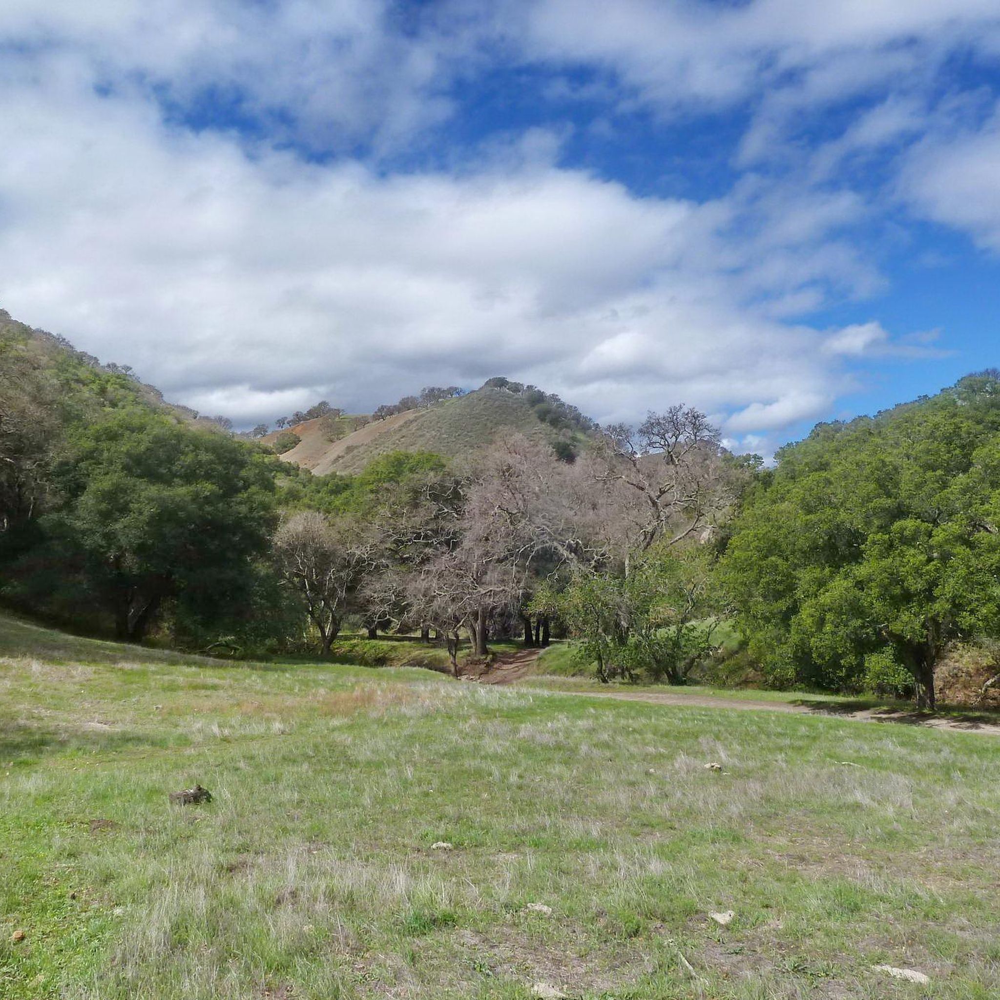
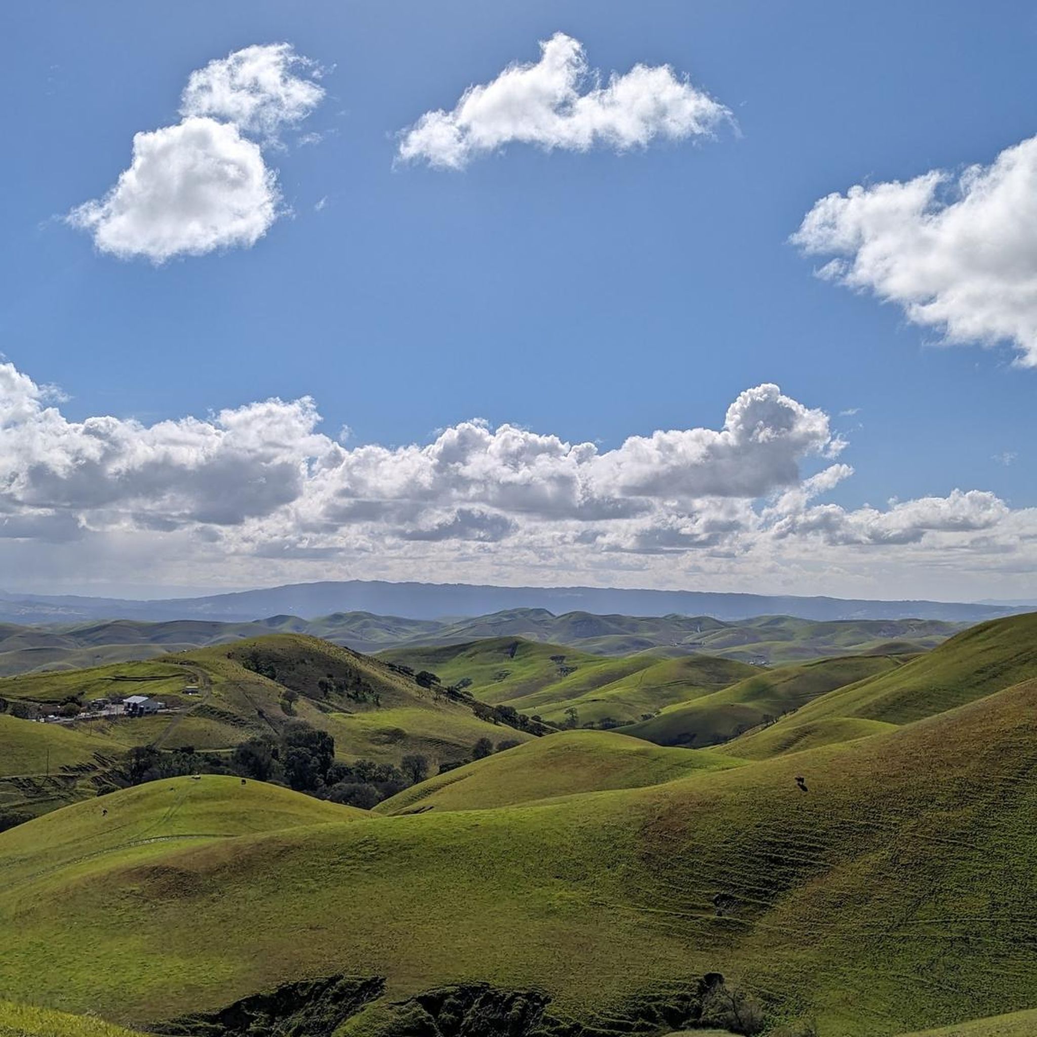
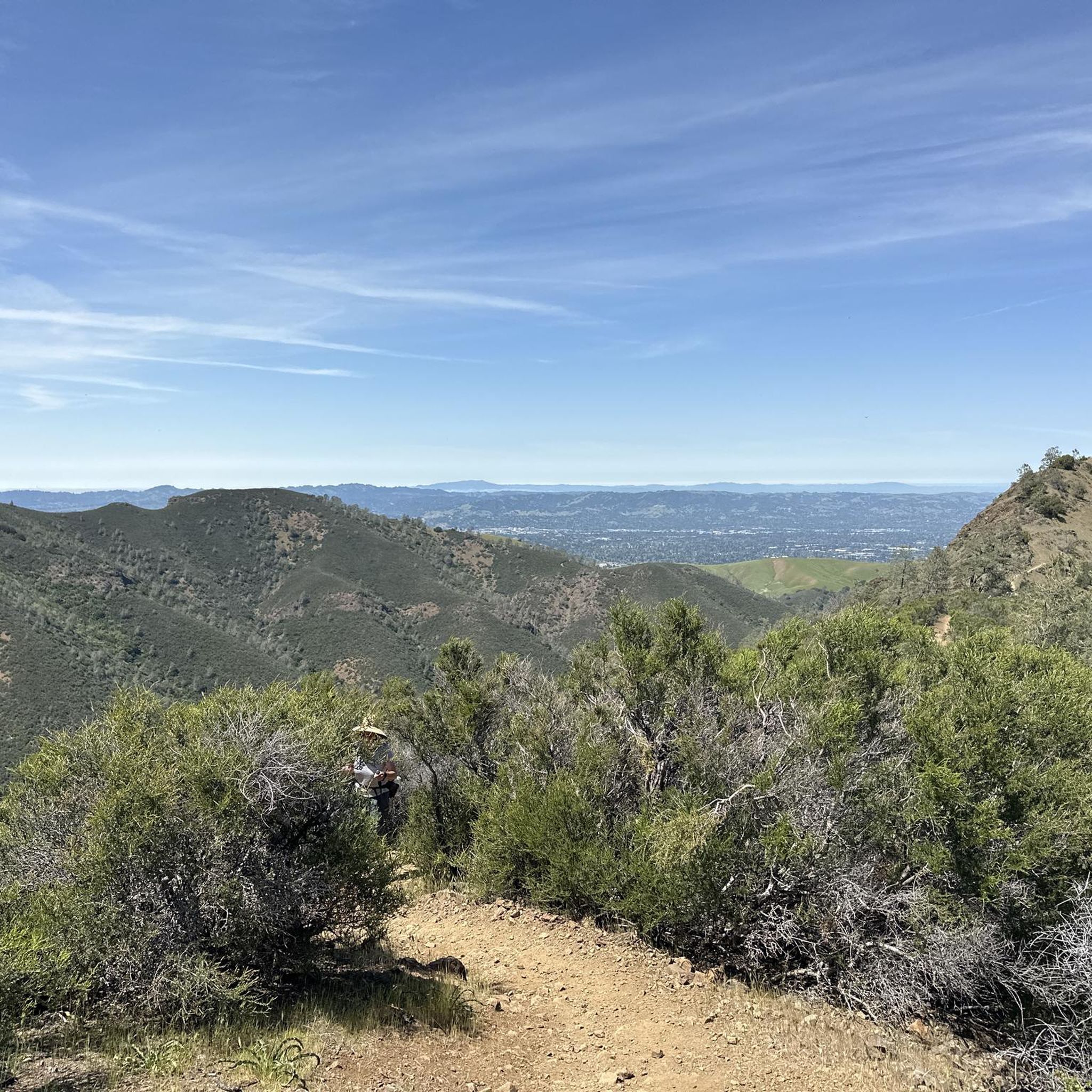
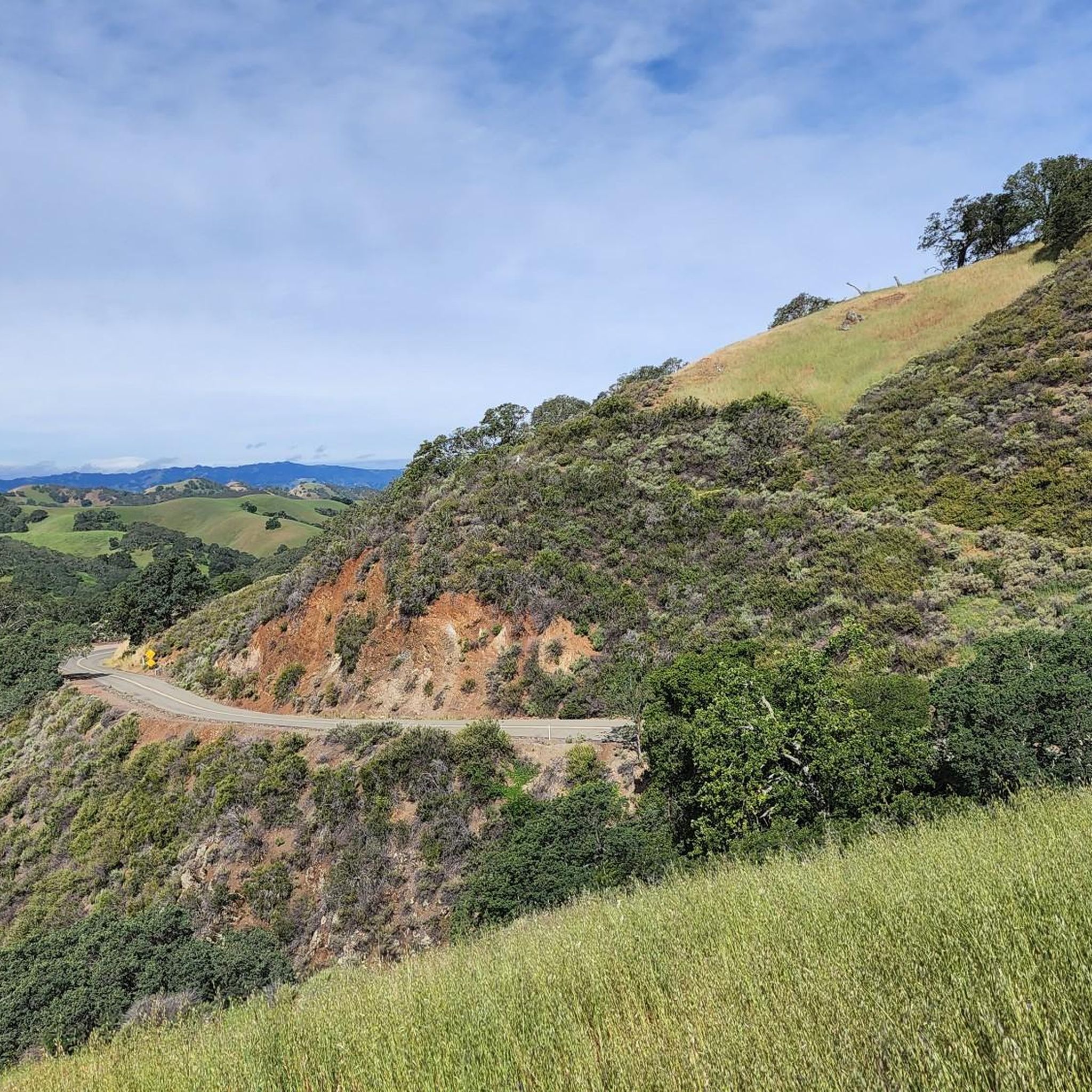
Hiking in Mount Diablo State Park offers diverse landscapes across more than 20,000 acres, featuring rolling hills, oak forests, chaparral, and grasslands. The park's terrain includes significant elevation changes, culminating at the 3,849-foot summit of Mount Diablo, which provides expansive views. Unique sandstone formations, such as those found in Rock City, add to the geological interest of the area. The varied habitats support a wide array of plant and animal species.
Best hiking trails in Mount Diablo State Park
- The most popular hiking route is Mount Diablo via Summit Trail, a 6.7 miles (10.8 km) trail that takes 3 hours 42 minutes to complete. This moderate route offers panoramic views and diverse scenery.
- Another top favourite among local hikers is Eagle Peak Loop, a moderate 6.1 miles (9.9 km) path. This trail provides views of the surrounding Bay Area landscape.
- Local hikers also love the Six Peaks Loop, a 14.0 miles (22.5 km) trail leading through varied terrain with substantial elevation gain, often completed in about 7 hours 50 minutes.
- Hiking in Mount Diablo State Park is defined by rolling hills, oak forests, and unique sandstone formations. The network offers options for different ability levels, from easy strolls to challenging climbs.
- The routes in Mount Diablo State Park are highly rated by the komoot community with an average score of 4.7 stars from over 100 reviews. More than 1,300 hikers have used komoot to explore Mount Diablo State Park's varied terrain.
Last updated: June 23, 2026
5.0
(10)
92
hikers
10.8km
03:43
610m
570m
Moderate hike. Good fitness required. Easily-accessible paths. Suitable for all skill levels.
4.9
(8)
49
hikers
22.5km
07:50
1,240m
1,180m
Hard hike. Very good fitness required. Easily-accessible paths. Suitable for all skill levels.

Sign up for free
4.9
(8)
39
hikers
19.3km
06:38
1,010m
990m
Hard hike. Very good fitness required. Easily-accessible paths. Suitable for all skill levels.
5.0
(1)
19
hikers
9.88km
03:36
640m
580m
Moderate hike. Good fitness required. Easily-accessible paths. Suitable for all skill levels.
6
hikers
10.2km
03:34
570m
600m
Moderate hike. Good fitness required. Easily-accessible paths. Suitable for all skill levels.
Get access to more routes and recommendations from other explorers.
Sign up for free
Already have an account?
Our route recommendations are based on thousands of hikes, rides, and runs completed by other people on komoot.
Start today with a free account
Your next adventure awaits.
Login or Signup


Other adventures in Mount Diablo State Park

Tips from the Community

Mount Diablo, is the Bay Area second-highest peak at 1173m (3849ft). The challenging climb features constantly fluctuating gradients averaging 8%, with tough sections up to 18% and a brutal 23% finish in the last 200m. The equally demanding descent requires good bike handling due to tight corners, potholes, and strong winds. The road to the top is open daily from 8 AM till sunset.
0
0


One of the few working water spigots on Diablo. Always tastes cold and fresh.
0
0
One of the fiercest peaks in the Bay. Always worth the effort. It’s often much cooler on the summit than the rest of the trails — there is a water spigot up there to fill up bottles. Also a store is open at some times. Don’t bank on it.
0
0

Twin Peaks in Mount Diablo State Park, not to be confused with the famous San Francisco landmarks, is a pair of prominent summits providing breathtaking vistas of the park's diverse landscapes.
0
0

Mount Diablo is 3,849 feet in elevation and is visible from most of the San Francisco Bay Area.
0
0

This popular campground is open year-round and sits on the plateau's edge. Sites on the south side are the most favorable, with dramatic views of the San Ramon Valley. It is a great spot to satellite out to some great hiking trails in the area.
0
0
This is a fantastic rocky outcrop just beneath Mount Diablo's main summit. It is worth scrambling to the top to get more of the incredible views this area offers.
0
0
Frequently Asked Questions
How many hiking trails are available in Mount Diablo State Park?
Mount Diablo State Park offers over 50 hiking trails, catering to a wide range of abilities. You'll find 12 easy routes, 30 moderate trails, and 11 challenging options to explore the park's diverse landscapes.
What are the best times of year to hike in Mount Diablo State Park?
Spring is particularly beautiful for hiking in Mount Diablo State Park, as the hills are green and vibrant wildflower displays are abundant. Fall also offers pleasant conditions with cooler temperatures. While hiking is possible year-round, summers can be hot, and clear winter days provide exceptional panoramic views.
Are there any family-friendly hiking options in Mount Diablo State Park?
Yes, Mount Diablo State Park has several options suitable for families. The Mary Bowerman Trail near the summit is a popular choice for a less strenuous walk. Additionally, areas like Rock City offer curious sandstone formations and wind caves that are fun for exploration and picnicking, making them great for families.
What unique natural features or landmarks can I see while hiking in Mount Diablo State Park?
Mount Diablo State Park is rich in geological wonders and scenic viewpoints. You can visit Mount Diablo Summit for expansive views, explore the unique sandstone formations and wind caves at Rock City, or discover the historical significance of the Mitchell Canyon Visitor Center, which houses ancient marine fossils. Other notable points include Eagle Peak and Devil's Pulpit.
Are there any trails with waterfalls in Mount Diablo State Park?
Yes, the Mount Diablo State Park Waterfall Loop Trail is a notable option that winds through waterfalls, grasslands, and oak forests, offering a refreshing experience, especially after rainfall.
What are the parking and entrance fee requirements for Mount Diablo State Park?
Mount Diablo State Park has entrance fees and various parking areas. For detailed and up-to-date information on fees, permits, and specific parking locations, it's best to consult the official California State Parks website: parks.ca.gov/mountdiablo.
Can I find circular hiking routes in Mount Diablo State Park?
Yes, Mount Diablo State Park offers several excellent circular hiking routes. For example, the Mount Diablo Grand Loop Trail is a moderate 6.3-mile loop, and the Juniper and Summit Trail loop provides a 5.4-mile circuit with direct access to the summit area.
What do other hikers enjoy most about hiking in Mount Diablo State Park?
The hiking trails in Mount Diablo State Park are highly rated by the komoot community, with an average score of 4.7 stars from over 80 reviews. Hikers frequently praise the panoramic views from the summit, the diverse landscapes ranging from oak forests to unique sandstone formations, and the variety of trails suitable for different skill levels.
Are there any challenging hikes for experienced trekkers in the park?
Absolutely. For experienced hikers seeking a challenge, trails like the Mount Diablo loop via Mitchell Canyon Road, a 12.9-mile route with significant elevation gain, or the Four Peaks loop, which covers over 14 miles and more than 1,100 meters of ascent, offer demanding and rewarding experiences.
Where can I find food or refreshments near Mount Diablo State Park?
While there are no extensive dining facilities within the park itself, the nearby towns offer various options for cafes and restaurants. It's advisable to check local listings in communities surrounding the park for specific establishments.
What kind of wildlife might I encounter on the trails?
Mount Diablo State Park is home to over 400 plant and animal species. Hikers might spot deer, coyotes, burrowing owls, and kestrels. The park is also known for its vibrant wildflower displays in spring, including rare species like the Mount Diablo sunflower.
Are there any easy, shorter hikes for a quick outing?
Yes, for a shorter and easier outing, consider trails like the Mary Bowerman Trail near the summit, which offers accessible views. Another option is to explore parts of the Mitchell Canyon area, which provides various trails, some of which are less strenuous and ideal for a quick walk.
Most popular routes in Mount Diablo State Park
Most popular attractions in Mount Diablo State Park

Get inspired with the komoot mobile app


Explore more
Browse the best Hikes in other regions.
