The best running trails in Marsh Creek State Park
40
runners
13
runs
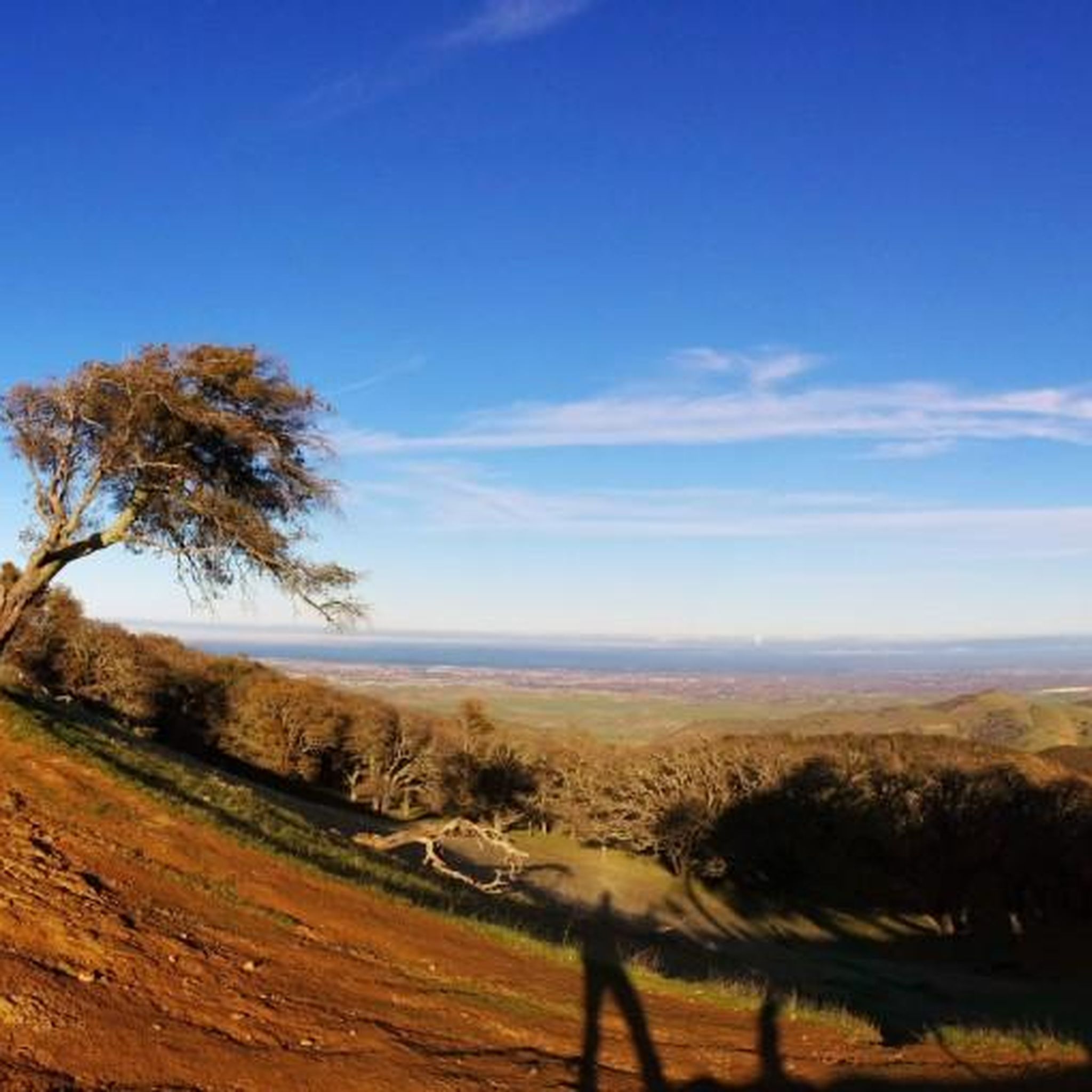
Jogging in Marsh Creek State Park offers a variety of routes through diverse landscapes. The park features a mix of open parkland, trails alongside creeks, and areas with gentle elevation changes, providing varied terrain for runners. Many routes traverse natural preserves and local parks, connecting different community areas. The region is characterized by its accessible paths and green spaces, suitable for various running preferences.
Best jogging routes in Marsh Creek State Park
- The most popular jogging route is Running loop…
Last updated: June 24, 2026
4
runners
11.6km
01:11
20m
20m
Moderate run. Good fitness required. Mostly paved surfaces. Suitable for all skill levels.
2
runners
5.63km
00:35
20m
20m
Moderate run. Good fitness required. Mostly paved surfaces. Suitable for all skill levels.

Sign up for free
2
runners
5.62km
00:35
20m
20m
Moderate run. Good fitness required. Mostly paved surfaces. Suitable for all skill levels.
3
runners
13.8km
01:25
30m
30m
Moderate run. Good fitness required. Mostly paved surfaces. Suitable for all skill levels.
4
runners
5.05km
00:31
10m
10m
Moderate run. Good fitness required. Mostly paved surfaces. Suitable for all skill levels.
Get access to more routes and recommendations from other explorers.
Sign up for free
Already have an account?
Our route recommendations are based on thousands of hikes, rides, and runs completed by other people on komoot.
Start today with a free account
Your next adventure awaits.
Login or Signup
Popular around Marsh Creek State Park



Tips from the Community

Neighborhood park along Marsh Creek at the Junction of several trails, Well equipped with fitness devices and playground. Picnic shelters and water make it a good place for a break
0
0

A nice neighborhood park is located next to Brentwood Creek, featuring a playground, picnic shelter, a basketball court, and walking trails.
0
0
Frequently Asked Questions
How many running routes are available in Marsh Creek State Park?
Marsh Creek State Park offers a diverse selection of over 15 running routes. These trails cater to various preferences, ranging from moderate to difficult, ensuring options for different fitness levels.
What kind of terrain can I expect on the jogging trails in Marsh Creek State Park?
The jogging trails in Marsh Creek State Park feature a mix of open parkland, paths alongside creeks, and areas with gentle elevation changes. You'll find varied terrain, including accessible green spaces and natural preserves, suitable for different running experiences.
Are there any easy or beginner-friendly running routes in Marsh Creek State Park?
While many routes are moderate to difficult, the park's accessible paths and green spaces can accommodate beginners. For a generally flat experience, consider routes that emphasize creekside paths, which typically have minimal elevation changes.
Are the running trails in Marsh Creek State Park suitable for families?
Yes, many of the parkland paths and accessible green spaces are suitable for families. Look for routes described as having minimal elevation changes or those that traverse open parkland for a more relaxed family running experience.
Are there any loop trails for running in Marsh Creek State Park?
Absolutely. Many of the popular running routes in Marsh Creek State Park are loops, offering a convenient way to start and finish at the same point. Examples include the Running loop from Round Valley Regional Preserve and the Creekside Park loop from Brentwood.
What are the typical lengths and durations of jogging routes in Marsh Creek State Park?
Running routes in the park vary significantly in length and duration. For instance, the Water vista – Cornell Park loop from Discovery Bay is about 3.5 miles (5.7 km) and takes around 35 minutes, while the more challenging Creekside Park loop from Brentwood spans 11.1 miles (17.9 km) and can take over an hour and 45 minutes.
What do other runners enjoy most about jogging in Marsh Creek State Park?
The running routes in Marsh Creek State Park are highly rated by the komoot community, with an average score of 5.0 stars. Runners often praise the varied terrain, the scenic creekside paths, and the well-maintained parkland trails that offer a refreshing outdoor experience.
Are there any specific viewpoints or scenic spots along the running trails?
Many routes offer pleasant views, particularly those that follow the creeks or traverse open parkland. The Water vista – Cornell Park loop from Discovery Bay, for example, suggests scenic water views. The diverse landscapes provide numerous opportunities to enjoy the natural surroundings.
Are dogs allowed on the jogging trails in Marsh Creek State Park?
Marsh Creek State Park is generally dog-friendly, but it's always best to check specific trail regulations or park signage. Typically, dogs are welcome on trails if kept on a leash. Please ensure you clean up after your pet to maintain the park's natural beauty.
Where can I find parking for the jogging trails in Marsh Creek State Park?
Marsh Creek State Park has several designated parking areas conveniently located near trailheads. Specific parking availability can vary depending on the starting point of your chosen route. It's advisable to check the map for your intended route to identify the closest parking facilities.
Are there any amenities like cafes or restrooms near the jogging routes?
While the park focuses on natural experiences, some areas, especially near main entrances or visitor centers, may offer restrooms. For cafes or other amenities, you might need to venture slightly outside the immediate park boundaries into nearby communities like Brentwood or Discovery Bay.
What is the best time of year to go jogging in Marsh Creek State Park?
Spring and fall generally offer the most pleasant conditions for jogging in Marsh Creek State Park, with mild temperatures and vibrant scenery. Summer mornings or evenings can also be enjoyable, while winter jogging is possible, though trails might be damp or muddy after rain.
Can I expect to see wildlife while running in Marsh Creek State Park?
Yes, Marsh Creek State Park is home to various wildlife. Runners might spot birds, small mammals, and other local fauna, especially during quieter times of the day or on less frequented trails. Maintaining a respectful distance and observing quietly is encouraged.
Most popular routes in Marsh Creek State Park

Get inspired with the komoot mobile app


Explore more
Browse the best Running Trails & Routes in other regions.
