The best road cycling routes in Mulholland Open Space Preserve
4.5
(141)
5,805
riders
66
rides
Road cycling in Mulholland Open Space Preserve offers routes through golden cattle-grazed grasslands dotted with oak trees and coyote bush chaparral. The preserve provides panoramic views of the Moraga Valley, the Diablo Range, and Mount Diablo. While a paved section of the Mulholland Ridge Trail offers a suitable surface for road bikes, many routes extend beyond the preserve into the wider Orinda trail system. The landscape includes rolling hills and varied elevation changes.
Best road cycling routes in Mulholland Open…
Last updated: August 31, 2026
5
riders
39.1km
02:24
590m
590m
Moderate road ride. Good fitness required. Some segments of this route may be unpaved and difficult to ride.
4.5
(4)
109
riders
35.6km
01:47
570m
570m
Moderate road ride. Good fitness required. Mostly well-paved surfaces and easy to ride.

Sign up for free
50
riders
64.0km
02:58
390m
390m
Moderate road ride. Good fitness required. Mostly well-paved surfaces and easy to ride.
21
riders
27.2km
01:20
400m
400m
Moderate road ride. Good fitness required. Mostly well-paved surfaces and easy to ride.
40
riders
42.7km
02:04
520m
520m
Moderate road ride. Good fitness required. Mostly well-paved surfaces and easy to ride.
Get access to more routes and recommendations from other explorers.
Sign up for free
Already have an account?
Our route recommendations are based on thousands of hikes, rides, and runs completed by other people on komoot.
Start today with a free account
Your next adventure awaits.
Login or Signup
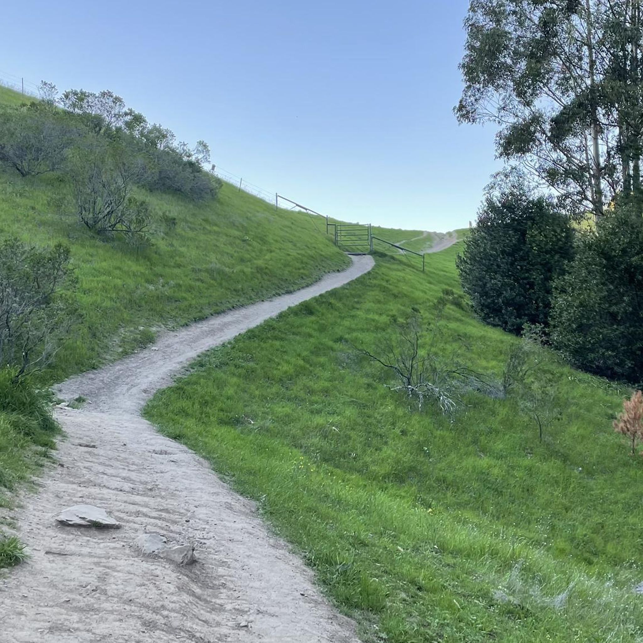
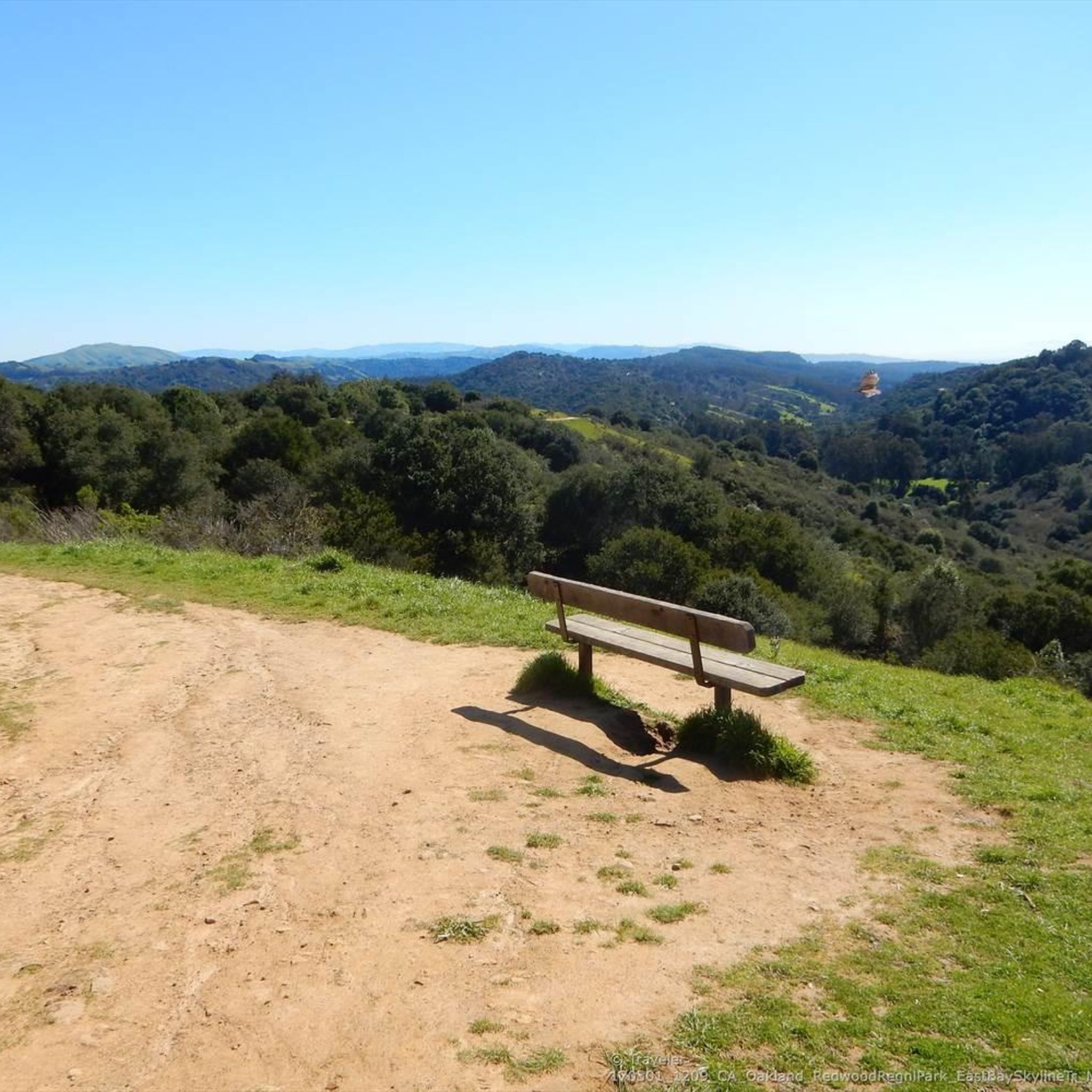
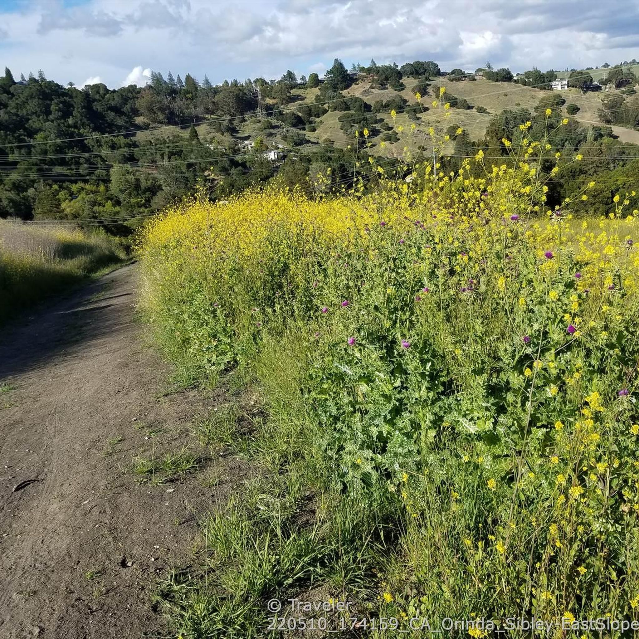
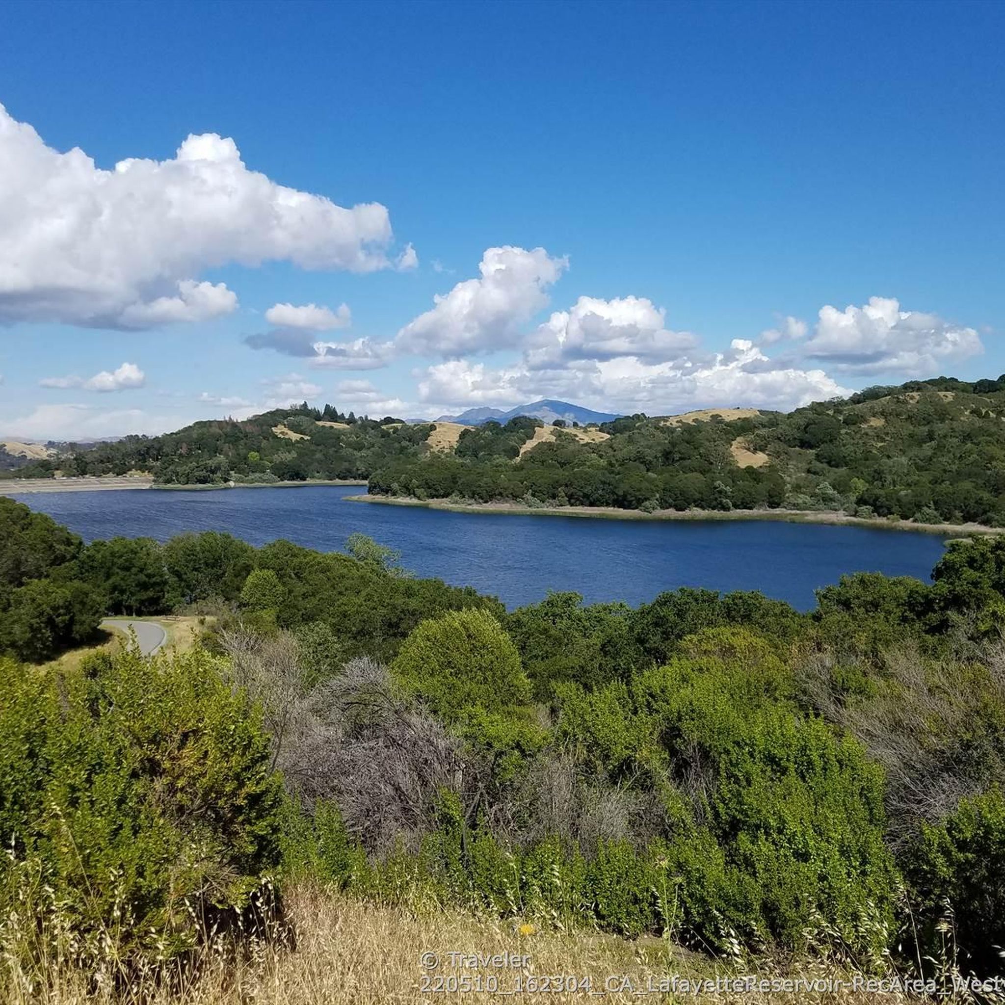

Tips from the Community

Valle Vista is the trailhead for the paved Lafayette-Moraga Regional Trail, a popular rail-trail for cyclists. There’s a restroom here, but note: the EBMUD dirt trails are hiking-only and require a permit. The bike trail has been officially closed between here and Moraga since a 2019 landslide.
0
0

The Museum of the San Ramon Valley was established in 1985 and sits in a restored 1891 Southern Pacific Railroad Depot with the Victorian-era “Combination Station No. 22” listed on the National Register of Historic Places. The Official Visitor Information Center offers maps, guides, and knowledgeable staff, along with free parking and restrooms located in the caboose.
1
0

The Sibling Staging Area at Sibley Volcanic Regional Preserve has 38 parking spots, public restrooms, a visitors center, educational signage, and a spot for filling water bottles.
0
0

There are a bunch of great hiking and biking trails around the reservoir. Some, like the Shore Trail, are two-lane paved cycleways with no vehicle traffic, and others are unpaved dirt roads up in the hills. All are beautiful trails to explore on two wheels!
0
0

The Lafayette Reservoir Recreation Area is a year-round park with a 2.7 paved walkway around the reservoir. Looking around at the surrounding hills makes you forget you're in the middle of a Bay Area suburb.
0
0
Leigh Creekside Park is a small park that is just over an acre in size. The park is a nice resting spot just off the Lafayette-Moraga Trail and features picnic tables, a drinking fountain, and plenty of shade
0
0
The Lamorinda Trail Loop passes through Orinda, Moraga, and Lafayette. The loop spans 17.5 miles in total, mostly flat and paved, with parking available in downtown Orinda or El Nido Ranch Road. The St. Stephen's Trail is 1.2 miles, suitable for pedestrians, bikes, dogs, and wheelchairs.
0
1
The Iron Horse Trail is a 32-mile multi-use path that connects Concord to Pleasanton, following the old route of the Southern Pacific Railroad; established in 1891 and abandoned in 1977. It is a great trail for recreation and commuting routes, connecting residential and commercial areas, schools, parks, and public transit.
0
0
Frequently Asked Questions
How many road cycling routes are available in Mulholland Open Space Preserve?
There are over 70 road cycling routes available in Mulholland Open Space Preserve and the surrounding areas. These routes cater to various skill levels, with options ranging from easy to difficult.
What are the typical difficulty levels for road cycling in the preserve?
The routes in Mulholland Open Space Preserve offer a good mix of challenges. You'll find approximately 28 easy routes, 40 moderate routes, and 5 more difficult options, ensuring there's something for every road cyclist.
What kind of landscape can I expect to see while road cycling in Mulholland Open Space Preserve?
Road cycling in the preserve offers scenic views of golden cattle-grazed grasslands dotted with oak trees and coyote bush chaparral. You'll also enjoy panoramic vistas of the Moraga Valley, the Diablo Range, and Mount Diablo.
Are there any notable viewpoints or scenic spots along the road cycling routes?
Yes, the preserve is renowned for its spectacular panoramic views. Cyclists can enjoy breathtaking vistas of the Moraga Valley, the Diablo Range, and Mount Diablo from various points along the routes.
What is the general length and elevation gain of road cycling routes in the preserve?
Routes vary in length and elevation. For example, the Moraga Commons Park – Skyline Blvd loop from Rheem Valley is about 24.8 miles (39.9 km) with significant elevation changes, while the Redwood Grove – Moraga Commons Park loop from Rheem Valley is a shorter 12.4 miles (19.9 km) with less climbing.
Are there any loop routes suitable for road cycling?
Yes, many road cycling routes in the area are designed as loops. A popular moderate option is the Skyline Boulevard – Grizzly Peak Boulevard loop from Moraga, which offers continuous scenic views over 19.9 miles (32.0 km).
Is parking available for road cyclists visiting Mulholland Open Space Preserve?
While the preserve itself has limited dedicated parking facilities, routes often start from nearby parks or residential areas where street parking or small lots may be available. It's advisable to check the starting point of your chosen route for specific parking information.
What is the best time of year to go road cycling in Mulholland Open Space Preserve?
The preserve can be enjoyed year-round, but spring and fall generally offer the most pleasant conditions with milder temperatures. Summers can be warm, and winters bring cooler, potentially wetter weather, though sunny days are still common.
Are there family-friendly road cycling options in Mulholland Open Space Preserve?
While the preserve features a paved section of the Mulholland Ridge Trail that is suitable for road bikes, many routes extend beyond this short section into areas with varied terrain and elevation. For a more relaxed, family-friendly ride, consider routes with lower elevation gains like the Redwood Grove – Moraga Commons Park loop from Rheem Valley.
Can I expect to see wildlife while road cycling in the preserve?
Mulholland Ridge is a haven for wildlife, particularly for birdwatchers. Over 77 species of birds have been identified, including red-tailed hawks often seen soaring overhead. Keep an eye out for various other local fauna as you ride through the grasslands and oak trees.
What do other road cyclists enjoy most about the routes in Mulholland Open Space Preserve?
The routes in Mulholland Open Space Preserve are highly rated by the komoot community, with an average score of 4.4 stars from over 95 reviews. Cyclists frequently praise the panoramic views, the diverse natural landscape, and the variety of routes catering to different fitness levels.
Do the road cycling routes connect to other areas or trail systems?
Yes, the preserve's trails connect to other local networks. This includes connections to Hacienda de las Flores park in Moraga and the wider Orinda trail system, allowing for longer rides or linking to other routes beyond the immediate preserve boundaries.
Are there any facilities like restrooms or water available along the road cycling routes?
Within the preserve itself, facilities are limited, though you might find trash cans and running water near a water tower. Restrooms are available at the neighboring Hacienda de las Flores Park when its main building is open, which can be accessed via connecting trails.
Most popular routes in Mulholland Open Space Preserve

Get inspired with the komoot mobile app


Explore more
Browse the best Road cycling routes in other regions.
