The best cycling routes in Diablo Foothills Regional Park
4.8
(81)
1,360
riders
80
rides
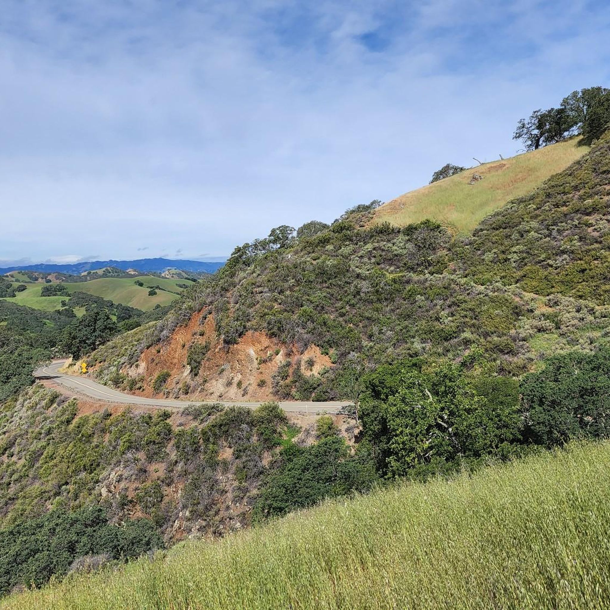
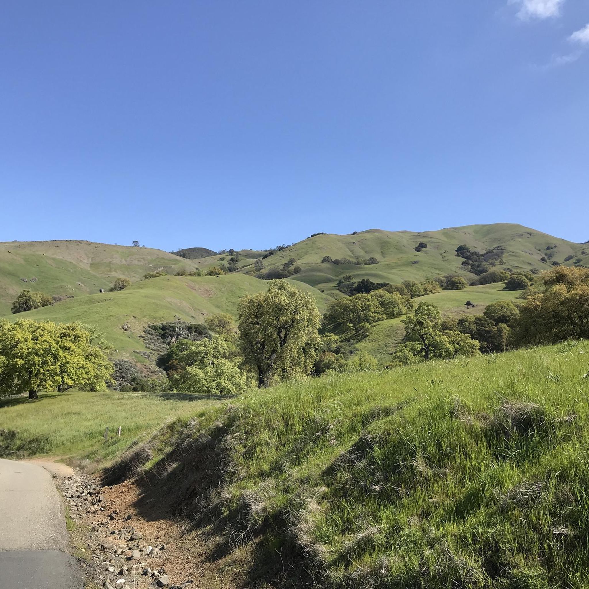
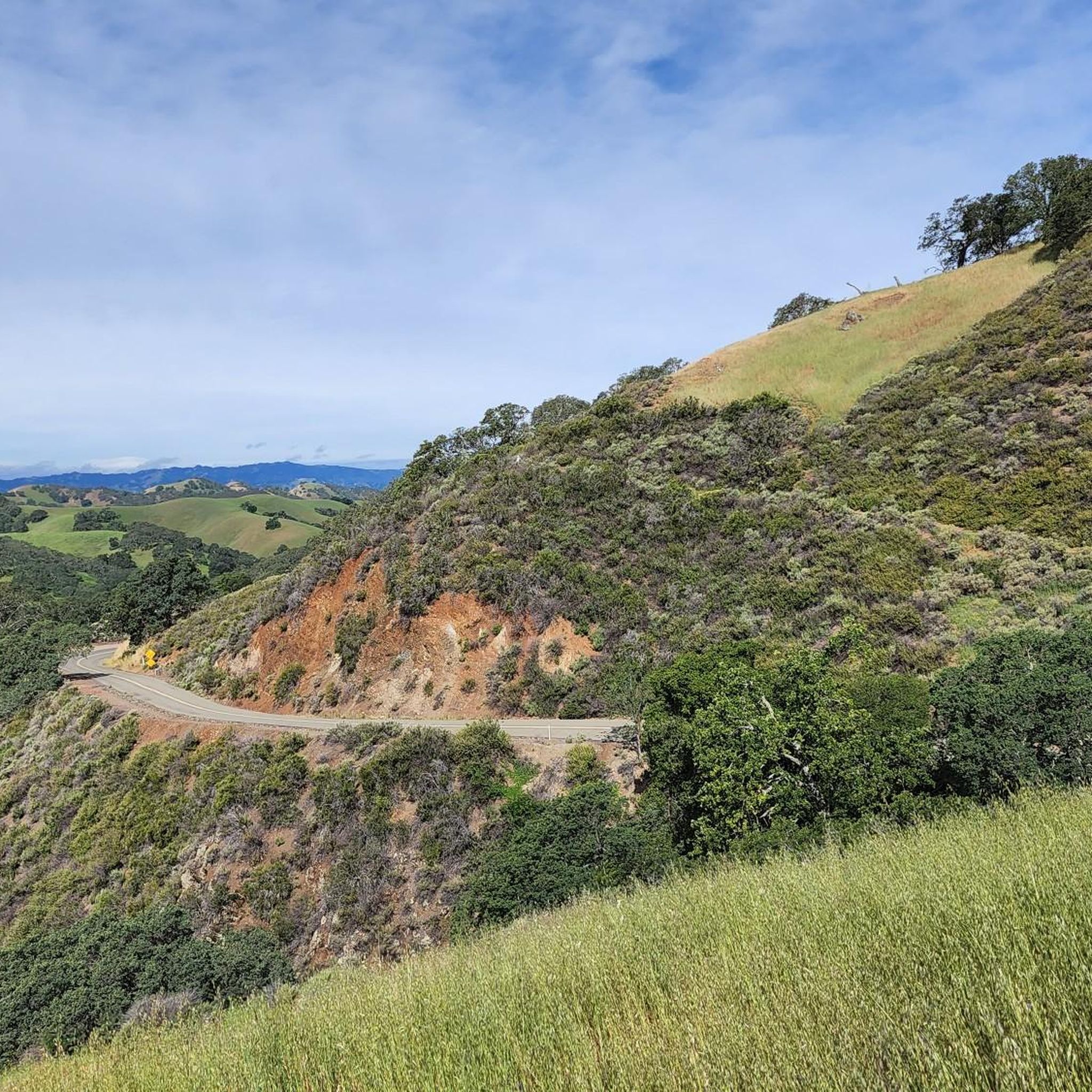
Touring cycling in Diablo Foothills Regional Park offers routes through 1,060 acres of diverse open space. The park features rolling green hills, expansive open grasslands, and shady wooded canyons. Many routes provide views of Mount Diablo and the surrounding verdant landscape. The terrain varies, offering a mix of paved and unpaved paths suitable for touring cyclists.
Best touring cycling routes in Diablo Foothills Regional Park
- The most popular touring cycling route is Mount Diablo via North Gate and Summit Roads…
Last updated: July 1, 2026
6
riders
16.8km
02:06
1,000m
50m
Hard bike ride. Very good fitness required. Mostly paved surfaces. Suitable for all skill levels.
5.0
(3)
40
riders
51.9km
03:30
780m
780m
Hard bike ride. Very good fitness required. Mostly paved surfaces. Suitable for all skill levels.

Sign up for free
4.8
(6)
30
riders
Easy bike ride. Great for any fitness level. Mostly paved surfaces. Suitable for all skill levels.
5.0
(2)
141
riders
44.6km
03:23
1,080m
1,080m
Hard bike ride. Very good fitness required. Mostly paved surfaces. Suitable for all skill levels.
14
riders
19.8km
01:46
470m
470m
Hard bike ride. Very good fitness required. Mostly paved surfaces. Suitable for all skill levels.
Get access to more routes and recommendations from other explorers.
Sign up for free
Already have an account?
Our route recommendations are based on thousands of hikes, rides, and runs completed by other people on komoot.
Start today with a free account
Your next adventure awaits.
Login or Signup
Popular around Diablo Foothills Regional Park


Other adventures in Diablo Foothills Regional Park

Tips from the Community

Mount Diablo, is the Bay Area second-highest peak at 1173m (3849ft). The challenging climb features constantly fluctuating gradients averaging 8%, with tough sections up to 18% and a brutal 23% finish in the last 200m. The equally demanding descent requires good bike handling due to tight corners, potholes, and strong winds. The road to the top is open daily from 8 AM till sunset.
0
0

This trailhead begins at the Contra Costa Canal Trail junction. Most of the trail runs along the Ygnacio Canal, where you'll likely see plenty of ducks who inhabit the area. Most of the trail is paved, however, there is an unpaved section near Ygnacio Valley Rd.
0
0
This charming lake sits along the Ygnacio Canal Trail at Heather Farm Park. The park features two lakes, open grassy areas, playgrounds, picnic tables, and other facilities. The lake and surrounding areas are a great spot to take a break while cycling the Ygnacio Canal Trail.
0
0


One of the few working water spigots on Diablo. Always tastes cold and fresh.
0
0

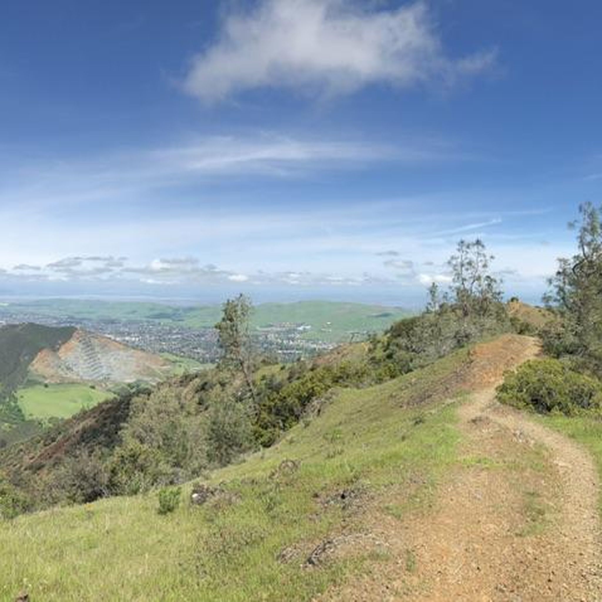
Nestled within Mount Diablo State Park, the Summit Trail unveils its beauty, particularly in late winter and spring, when lush greenery blankets the landscape like a scene from a fairytale. Offering a dirt path with gentle ascents, it promises a serene hiking experience amidst picturesque surroundings.
0
0

Pretty tree-shaded park with lawns, picnic facilities and great access at the intersection of two long distance trail networks
1
0
Strategic trail junction of these two excellent, flat, paved, car-free trail systems.
0
0
Frequently Asked Questions
How many touring cycling routes are available in Diablo Foothills Regional Park?
Diablo Foothills Regional Park offers a wide selection of touring cycling routes, with over 80 options to explore. These routes cater to various skill levels, ranging from easy to difficult.
What are the difficulty levels of touring cycling routes in Diablo Foothills Regional Park?
The park features a balanced mix of routes for all abilities. You'll find 24 easy routes, 27 moderate routes, and 30 difficult routes, ensuring there's a suitable challenge for every touring cyclist.
Are there any easy touring cycling routes suitable for beginners or families?
Yes, there are several easy routes perfect for beginners or families. One such option is the Heather Farm & Lake – Iron Horse Trail junction loop from North Gate, which is 12.5 miles (20.1 km) long and features minimal elevation gain, making it a pleasant ride through varied landscapes.
What kind of landscapes can I expect to see while touring cycling in Diablo Foothills Regional Park?
The park boasts diverse landscapes, including rolling green hills, expansive open grasslands, and shady wooded canyons. You'll encounter picturesque knolls dotted with blue oaks and, depending on the season, vibrant wildflowers. Many routes also offer stunning panoramic views of Mount Diablo.
Are there any notable landmarks or attractions along the touring cycling routes?
Yes, the park is home to several interesting natural features. You can explore the striking Sandstone caves in Castle Rock formations, which are popular for their unique erosion patterns. Other highlights include the Castle Rock Recreation Area and various scenic viewpoints offering vistas of Mount Diablo.
Are there any touring cycling routes that offer panoramic views of Mount Diablo?
Absolutely. Many routes provide excellent views of Mount Diablo. For a challenging ride with significant elevation gain leading to incredible vistas, consider the Mount Diablo via North Gate and Summit Roads route, which ascends towards the summit.
What do other touring cyclists enjoy the most about touring cycling in Diablo Foothills Regional Park?
The area is highly rated by the komoot community, with an average score of 4.7 stars from over 70 reviews. Reviewers often praise the diverse terrain, the stunning views of Mount Diablo, and the variety of routes available for different skill levels. Over 1,300 touring cyclists have used komoot to explore the park's trails.
Are there any long-distance touring cycling routes in the park or connecting to it?
For those seeking a longer ride, the Iron Horse Trail junction – Heather Farm & Lake loop from North Gate is a difficult 31.6 miles (50.9 km) path. This route connects to the Iron Horse Trail, offering an extended journey through varied landscapes beyond the immediate park boundaries.
What is the best time of year to go touring cycling in Diablo Foothills Regional Park?
Spring is particularly vibrant, with rolling green hills and wildflowers. However, due to limited shade on some trails, spring, winter, or early mornings are generally the best times to visit, especially on hot days, to enjoy comfortable cycling conditions.
Are there any loop trails for touring cyclists in Diablo Foothills Regional Park?
Yes, many routes in the park are designed as loops, offering a convenient way to explore without retracing your steps. An example is the Ohlone Trail loop from North Gate, a 10.7 miles (17.2 km) trail that takes you through scenic areas.
What kind of wildlife might I encounter while cycling in the park?
Diablo Foothills Regional Park is home to various wildlife. Cyclists often spot birds, lizards, and ground squirrels. Keep an eye out for seasonal cascades and the unique goldfish population in the Burma Springs watering holes.
Is there a route that takes me to Curry Point for views?
Yes, you can cycle to Curry Point, known for its stunning views of rolling hills and wildflowers in springtime. The Curry Point – Mount Diablo Summit loop from Monte Vista High School is a challenging 27.7 miles (44.6 km) route that includes this scenic spot.
Most popular routes in Diablo Foothills Regional Park
Most popular attractions in Diablo Foothills Regional Park

Get inspired with the komoot mobile app


Explore more
Browse the best Cycling routes in other regions.
