Antioch Dunes National Wildlife Refuge
Antioch Dunes National Wildlife Refuge
The best road cycling routes in Antioch Dunes National Wildlife Refuge
4.8
(3)
105
riders
11
rides
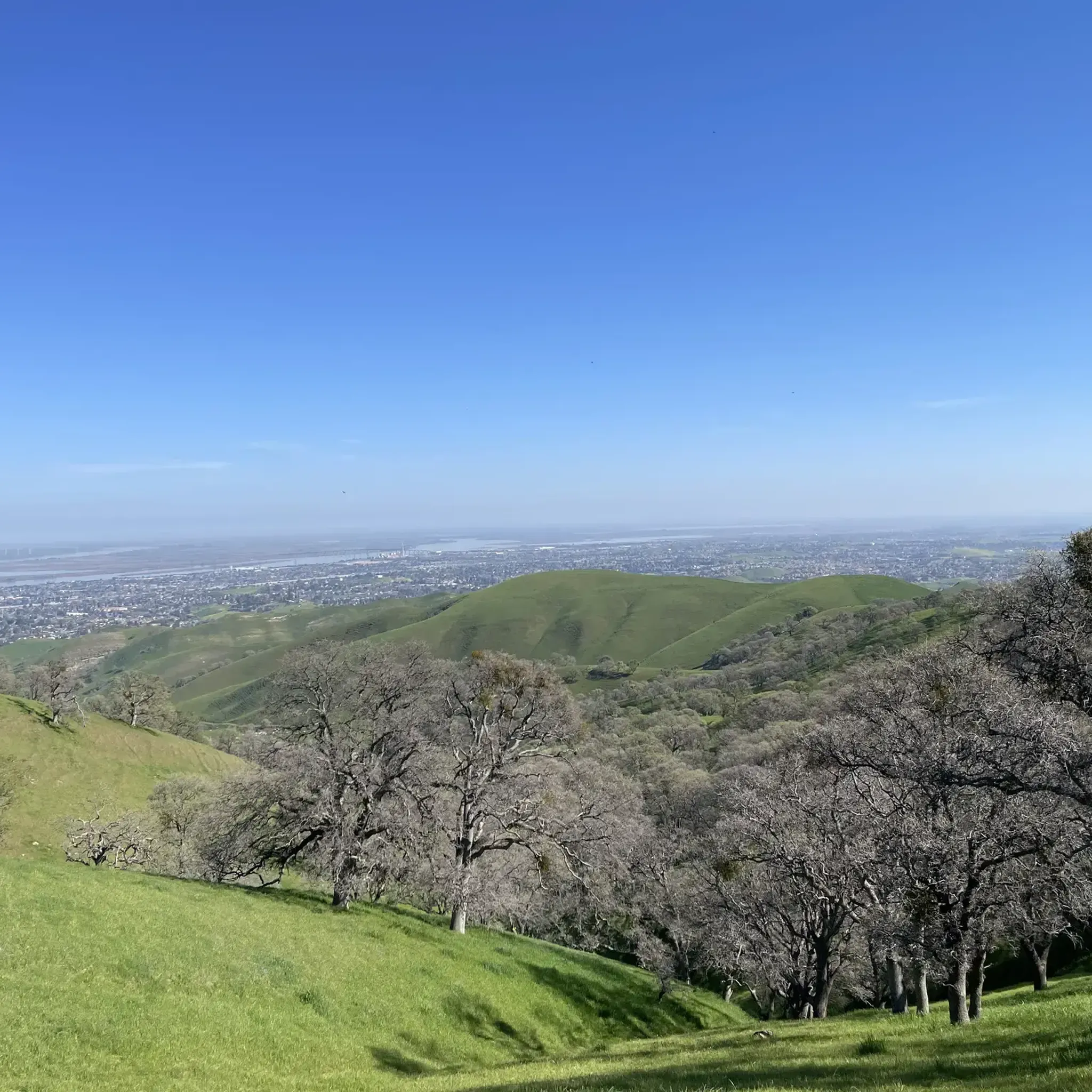
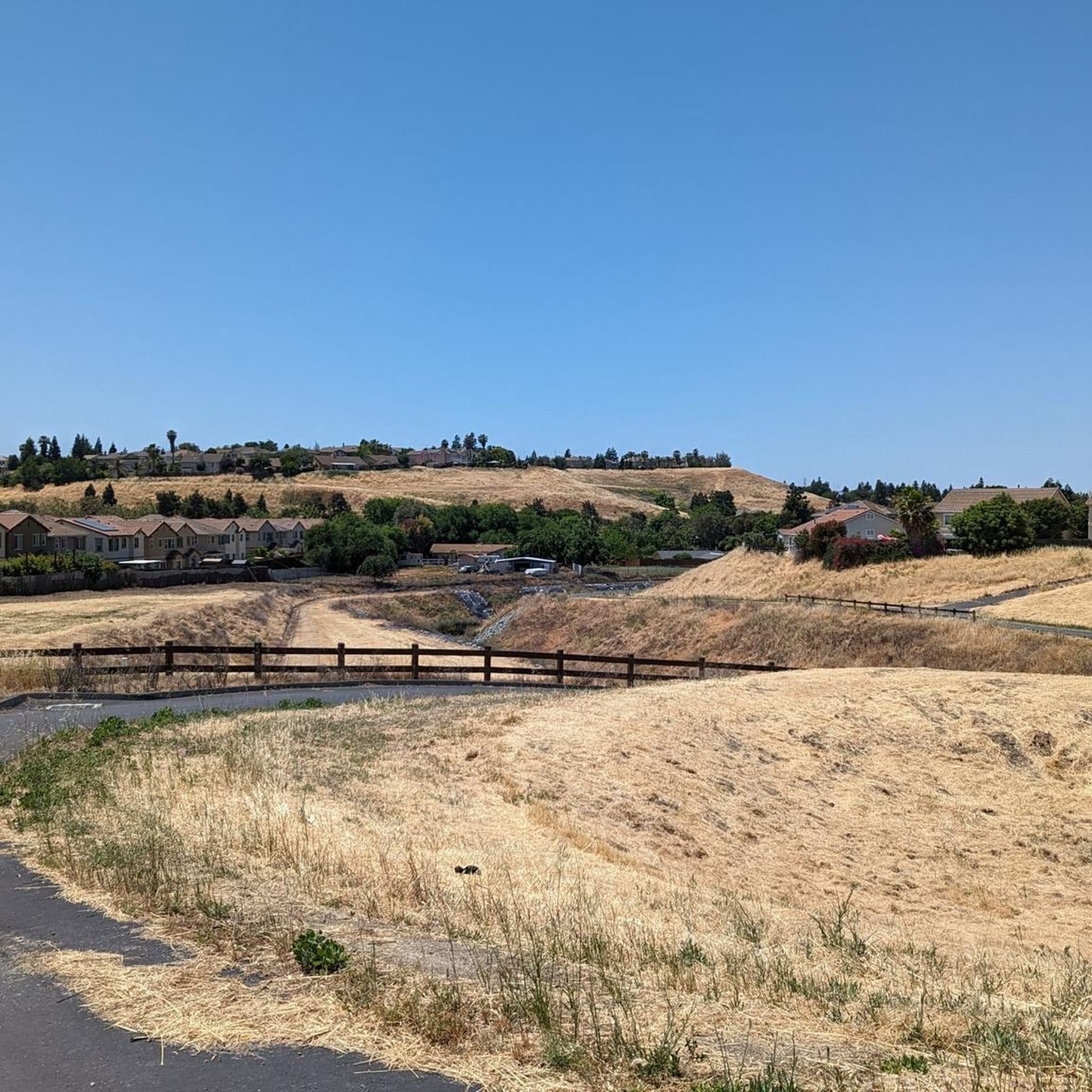
Road cycling in Antioch Dunes National Wildlife Refuge is not permitted directly within the sensitive sand dune habitat due to its protected status for endangered species. However, the surrounding Antioch area in Contra Costa County offers an extensive network of road cycling routes. This region is characterized by diverse landscapes, including regional shorelines along the San Joaquin River, reservoir loops, and trails through regional preserves, providing varied terrain for cyclists.
Best road cycling routes in Antioch Dunes National Wildlife Refuge
…Last updated: August 26, 2026
4.5
(2)
3
riders
60.0km
02:40
420m
420m
Road cycling the Lake Alhambra/Byron loop offers a moderate 37.3-mile ride with 1365 feet of gain, taking about 2 hours 40 minutes.
15
riders
46.0km
02:10
410m
410m
Moderate road ride. Good fitness required. Mostly well-paved surfaces and easy to ride.

Sign up for free
13
riders
56.1km
03:02
500m
500m
Moderate road ride. Good fitness required. Mostly well-paved surfaces and easy to ride.
7
riders
18.6km
01:03
30m
30m
Easy road ride. Great for any fitness level. Mostly well-paved surfaces and easy to ride.
8
riders
51.0km
02:43
430m
430m
Moderate road ride. Good fitness required. Mostly well-paved surfaces and easy to ride.
Get access to more routes and recommendations from other explorers.
Sign up for free
Already have an account?
Our route recommendations are based on thousands of hikes, rides, and runs completed by other people on komoot.
Start today with a free account
Your next adventure awaits.
Login or Signup
Popular around Antioch Dunes National Wildlife Refuge


Tips from the Community

The Big Break Regional Trail is a wonderful 3-mile paved path along the Delta shoreline. It’s a perfect route for spending the day hiking, biking, and birdwatching. The trail connects to the Marsh Creek Regional Trail, making it a fantastic traffic-free route to access other destinations in the area including Brentwood, Oakley, and Antioch.
0
0

The excellent long distance trail is interrupted a few yards west from here by a road.
0
0

The Big Break Regional Shoreline is a scenic park located in Oakley. Covering over 1,600 acres, it offers a diverse natural environment with marshes, wetlands, and waterways. A great way to enjoy the area and spot various bird species is during a hike along the Big Break Trail.
0
0

The lake offers some facilities to Los Vaqueros visitors, with fishing docks, a boat rental marina, and some beaches along it. This is a famous spot for fishing in northern California; here, you can find trout, catfish, and stripers, among other species of fish.
0
0

Lake Alhambra is an 18-acre lake located in the Lake Alhambra Estates neighborhood. The use of the lake is restricted to members of the Lake Alhambra Estates Homeowners Association members only.
0
0
Sadly the excellent paved car-free bike trail is interrupted here by a freeway for which they didn't build a bike bridge or underpass. Hope more people lobby to correct this to save lives by avoiding the busy road, and make biking more attractive.
0
0
Small lake with fountain, meanwhile surrounded by residences
0
0

Camino Diablo Road is a serene, pretty, and quiet country road. You effectively use this road to shortcut a visit to the intersection of Vasco Road with Marsh Creek Road. It comes as a welcome break from the heavy traffic and trucks on the last portion of Vasco Road covered on this route. After 3.5 miles on this road through grassy, treeless terrain, Camino Diablo merges onto Marsh Creek Road, which makes up most of one side of this roughly triangular ride route and takes you all the way to the beginning of Morgan Territory Road.
0
0
Frequently Asked Questions
Can I road cycle directly within the Antioch Dunes National Wildlife Refuge?
No, road cycling is not permitted directly within the Antioch Dunes National Wildlife Refuge. The refuge is a sensitive sand dune habitat established to protect endangered plant and insect species, and public access is generally restricted to supervised tours and events. However, the surrounding Antioch area offers an extensive network of road cycling routes.
How many road cycling routes are available in the Antioch area near the refuge?
There are over 10 road cycling routes available in the Antioch area, offering diverse landscapes for cyclists. The komoot community has mapped 13 routes, with options for various skill levels.
What are the typical difficulty levels for road cycling routes in the Antioch region?
The routes in the Antioch region cater to different abilities. You'll find 2 easy routes and 11 moderate routes, providing options for both casual rides and more challenging excursions.
What kind of landscapes can I expect to see on road cycling routes around Antioch?
Road cycling in the Antioch area offers diverse landscapes, including regional shorelines along the San Joaquin River, scenic reservoir loops, and trails winding through regional preserves. You can experience views of the Delta and various natural settings.
Are there any family-friendly road cycling options in the Antioch area?
While the refuge itself is not open for general cycling, the broader Antioch area is developing initiatives like the 'Bicycle Garden' at Prewett Community Park, designed to help people of all ages learn safe biking skills. Many of the paved trails in the city, such as sections of the Delta De Anza Trail, are suitable for families.
What do other road cyclists enjoy most about the routes in the Antioch area?
The road cycling routes in the Antioch area are highly rated by the komoot community, with an average score of 4.9 stars from over 10 reviews. Cyclists often praise the varied terrain, from regional shorelines to reservoir loops, and the well-maintained paths that make for enjoyable rides.
Can you recommend a popular moderate road cycling route in the Antioch area?
A popular choice among local road cyclists is the Marsh Creek Regional Trail – Big Break Regional Shoreline loop from Antioch. This moderate 32.9-mile path features sections of the Marsh Creek Regional Trail and offers scenic views of the Big Break Regional Shoreline.
Are there any longer road cycling routes for more experienced riders?
For those seeking a longer ride, the Marsh Creek Regional Trail – Los Vaqueros Reservoir loop from Antioch is an excellent option. This 44.5-mile trail leads through the Marsh Creek Regional Trail area and around Los Vaqueros Reservoir, typically taking about 3 hours 42 minutes to complete.
Where can I find parking for road cycling routes in the Antioch area?
Many of the regional parks and shorelines in the Antioch area, such as those near the Antioch Marina, Dow Wetlands Preserve, Contra Loma Regional Park, or Black Diamond Mines Regional Preserve, offer parking facilities for visitors accessing their trails and cycling routes.
Are there any loop trails for road cycling in the Antioch region?
Yes, many of the routes in the Antioch region are designed as loops. For example, the Lake Alhambra/Byron loop is a 37.3-mile route that provides a circular journey with views of Lake Alhambra and the Byron area.
What are some other notable road cycling routes in the Antioch area?
Beyond the most popular options, you can explore routes like the Prewitt Family Park & Pool – Kestrel Park loop from Antioch, a moderate 51.2-mile ride, or the Vineyard Climb – Kestrel Park loop from Deer Valley High School, a 36.7-mile route with some elevation gain.
Most popular routes in Antioch Dunes National Wildlife Refuge

Get inspired with the komoot mobile app


Explore more
Browse the best Road cycling routes in other regions.
