The best MTB trails in Roy'S Redwoods Open Space Preserve
4.6
(67)
802
riders
44
rides
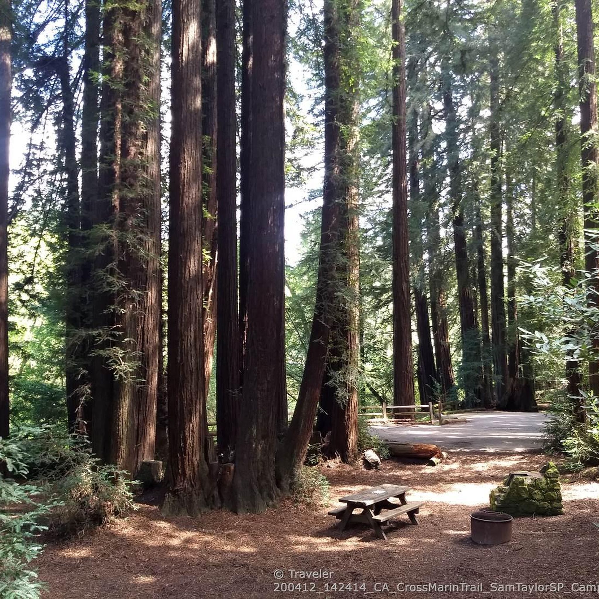
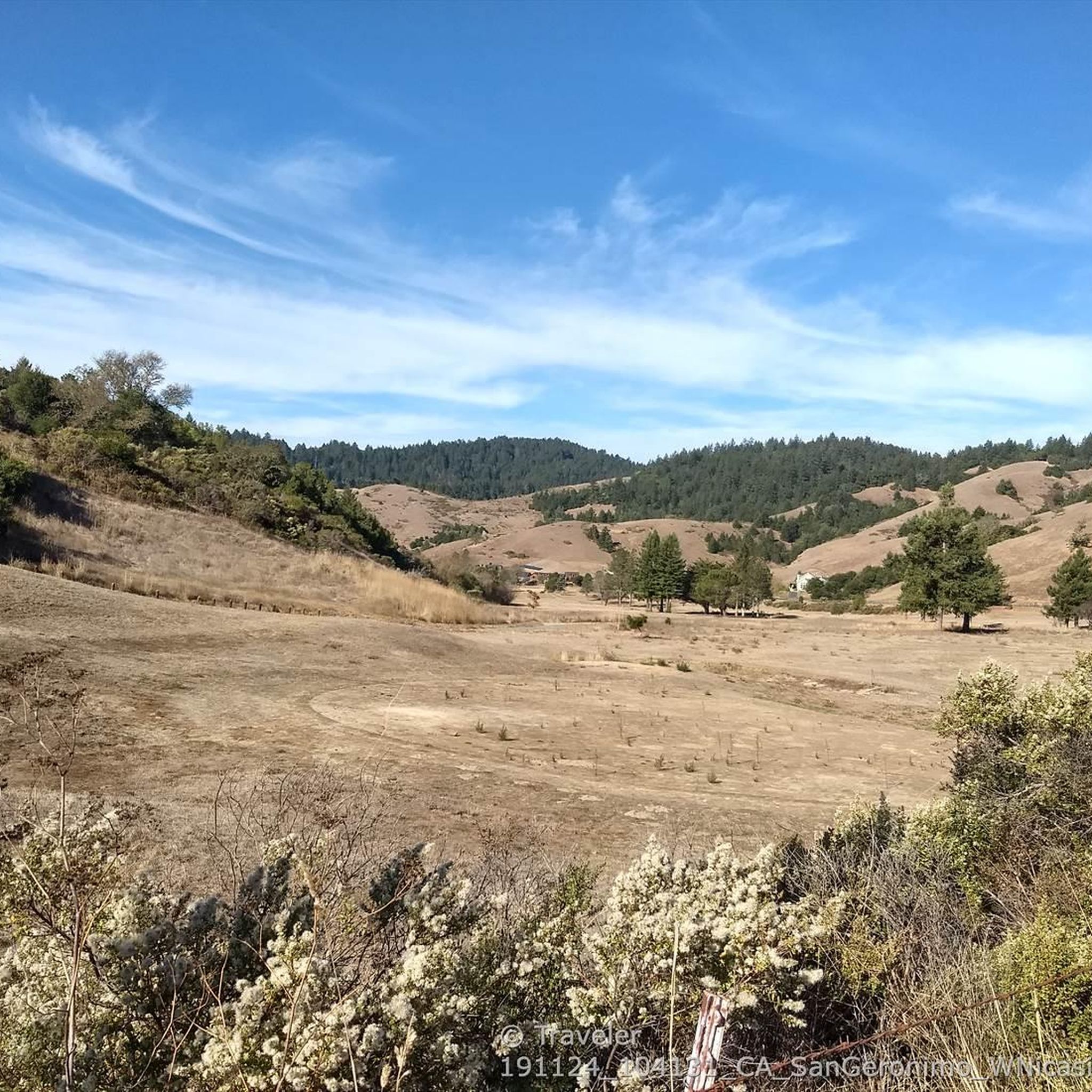
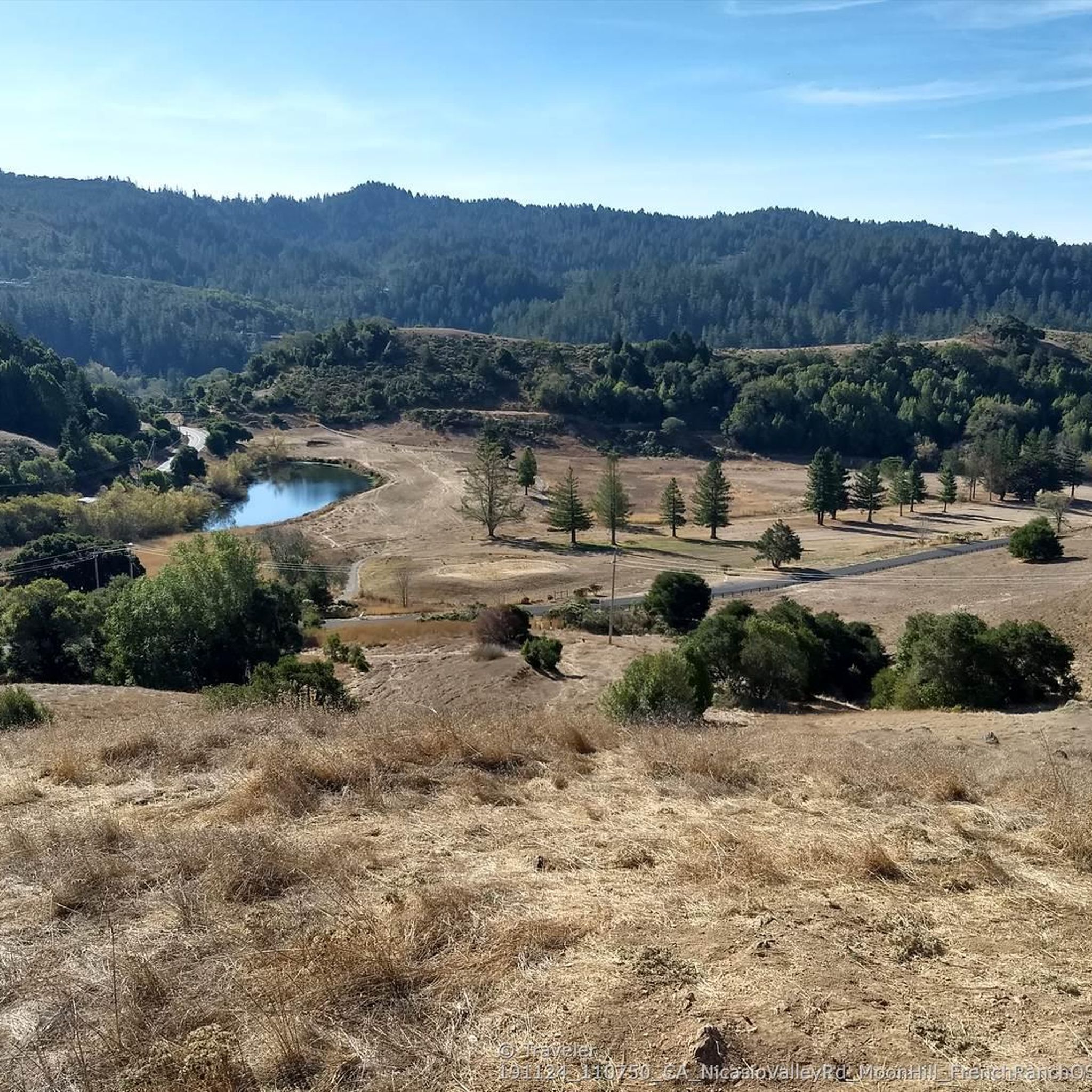
Mountain biking in Roy'S Redwoods Open Space Preserve offers access to a diverse landscape, though specific trail access for bikes varies within the preserve. The area features old-growth redwood groves, open grasslands, and oak woodlands, with terrain ranging from gentle grades to steeper climbs. While some trails within the core redwood areas are restricted, the broader region and fire roads provide opportunities for mountain biking. The preserve's varied topography includes rolling hills and valleys, offering a mix of riding experiences.
…Last updated: November 7, 2026
12
riders
36.6km
03:00
620m
620m
Moderate mountain bike ride. Good fitness required.
4.0
(1)
17
riders
13.2km
01:17
330m
340m
Moderate mountain bike ride. Good fitness required. Advanced riding skills necessary.

7
riders
Moderate mountain bike ride. Good fitness required.
4.0
(1)
11
riders
7.89km
00:54
250m
250m
Moderate mountain bike ride. Advanced riding skills necessary.
5.0
(1)
7
riders
26.0km
02:32
710m
710m
Moderate mountain bike ride. Good fitness required.
Get access to more routes and recommendations from other explorers.
Already have an account?
Our route recommendations are based on thousands of hikes, rides, and runs completed by other people on komoot.
Start today with a free account
Your next adventure awaits.
Popular around Roy'S Redwoods Open Space Preserve
Tips from the Community

At the junction of Chicken Shack Fire Road and Ponti Ridge Trail. There are benches, a great view, and trail markers.
1
0


Embark on an adrenaline-fueled mountain biking adventure through Big Rock. The trail reaches its peak at the towering landmark, a colossal rock that adds a unique touch to the experience. Exercise caution on the descent; the pavement can get slippery, adding an exhilarating challenge to this thrilling ride.
0
0
Big Rock Ridge, a striking ridge near Novato, California, standing as Marin County's second-tallest peak. Spanning 5 miles from northwest to east, it creates a natural boundary for central and southern Marin County. Named after the rock at the base of Big Rock Trail, this ridge promises awe-inspiring views and invigorating trails.
0
0

There is plenty of street parking at this trailhead, with the amazing Big Rock nearby to make it easy to spot. The Bay Area Ridge Trail runs along the ridgelines surrounding the San Francisco Bay area and spans over 500 miles of multi-use trails. This portion offers some of the best views of Marin and the city skyline.
0
0

Big Rock Trail cuts through Lucas Valley Open Space to reach the 2nd highest point in Marin County. From later winter through early summer the hills are verdant green and often covered in wildflowers. Bring plenty of water and a wide brimmed hat if it's a warm day as there is little shade, but this means the views are wide open and beautiful.
1
0

Highest point on Big Rock Ridge Fire Road with panoramic views of the Bay, Marin county, and even across the East bay to Mt. Diablo and south to San Francisco. A short spur trail here leads to a point with slightly better views down over Skywalker Ranch and the Lucas Valley.
0
0
After a good hike up the views open to reveal the surrounding rolling hills, dense forest and Tomales Bay in the distance.
0
0
Frequently Asked Questions
Are mountain bikes allowed on all trails in Roy's Redwoods Open Space Preserve?
While Roy's Redwoods Open Space Preserve is a beautiful area, mountain biking is generally restricted on many of its technical trails, especially within the core redwood groves. However, some fire roads and specific segments within the broader region, often associated with the preserve, do permit bicycles. Always check local signage and regulations before riding. For official information, you can consult the Marin County Parks website.
How many mountain bike trails are available in the Roy's Redwoods Open Space Preserve area?
There are over 45 mountain bike routes available in the Roy's Redwoods Open Space Preserve area, catering to various skill levels. These include 5 easy, 20 moderate, and 20 difficult trails.
What kind of terrain can I expect on mountain bike trails near Roy's Redwoods Open Space Preserve?
The terrain in the area offers a diverse experience, ranging from gentle grades to steeper climbs. You'll encounter old-growth redwood groves, open grasslands, and oak woodlands. Trails like Fairfax – Gestalt Haus loop from Woodacre feature significant elevation gain through varied landscapes, while others offer a mix of forest and open sections.
Are there any family-friendly mountain bike trails in the area?
Yes, there are several routes suitable for families, particularly those looking for less challenging rides. The area offers 5 easy routes, which are generally more suitable for family outings. For example, the Porcupine Trail loop from Woodacre is a moderate 4.8-mile trail that leads through woodlands and hills, offering a good option for those with some experience.
Can I bring my dog on the mountain bike trails?
While Roy's Redwoods Open Space Preserve is popular with dog walkers on its hiking trails, specific regulations for dogs on mountain bike trails can vary. It's best to check the current rules for each specific trail or preserve you plan to visit, as some areas may require dogs to be on a leash or may restrict access entirely. Always respect local signage.
What are some notable natural features or viewpoints I might see while mountain biking?
The region is known for its impressive old-growth redwood groves and diverse landscapes. Trails like Dickson Ridge Fire Road (a hiking trail in the preserve) offer superb views over rolling hills and valleys. You might also spot wildflowers in spring and various wildlife. The Roy's Redwoods Open Space Preserve and French Ranch Open Space Preserve area itself is a significant natural feature.
What is the best time of year to go mountain biking in the Roy's Redwoods area?
The preserve comes alive with wildflowers in spring, making it a beautiful time to visit. Generally, spring and fall offer pleasant temperatures for mountain biking. Summers can be warm, and winters might bring rain, which can make some trails muddy. Always check weather conditions before heading out.
Where can I park when visiting the mountain bike trails?
Parking availability varies depending on the specific trailhead you choose. Many trailheads in the broader Marin County area, including those near Roy's Redwoods, offer designated parking lots. It's advisable to research the starting point of your chosen route on komoot for specific parking information.
What do other mountain bikers enjoy most about the trails in this region?
The mountain bike routes in the Roy's Redwoods Open Space Preserve area are highly rated by the komoot community, with an average score of 4.7 stars from over 70 reviews. Riders often praise the diverse terrain, the mix of challenging climbs and scenic descents, and the opportunity to ride through beautiful woodlands and open sections.
Are there any long-distance or challenging mountain bike routes available?
Yes, the area offers 20 difficult routes for experienced mountain bikers. For example, the Pine Mountain loop from Lagunitas is a challenging 27-mile (43.5 km) route with over 4,100 feet (1259 m) of elevation gain. Another demanding option is the Fairfax – Gestalt Haus loop from Woodacre, which covers 16.6 miles (26.7 km) with significant elevation.
Are there any circular mountain bike routes?
Yes, many of the mountain bike routes in the area are designed as loops, allowing you to start and finish at the same point. Examples include the Cross-Marin Trail Bridge – Marie Dhority Bridge loop from Lagunitas-Forest Knolls and the Porcupine Trail loop from Woodacre.
What kind of wildlife might I encounter on the trails?
The preserve and surrounding areas are home to diverse wildlife. You might spot red-tailed hawks, deer, coyotes, and various songbirds. Keep an eye out for California giant salamanders, kingsnakes, racers, ring-necked snakes, and lizards. While rare, rattlesnakes are also present in the region, so it's always wise to be aware of your surroundings.
Most popular routes in Roy'S Redwoods Open Space Preserve
Most popular attractions in Roy'S Redwoods Open Space Preserve

Get inspired with the komoot mobile app


Explore more
Browse the best MTB trails in other regions.
