The best road cycling routes in Deer Island Open Space Preserve
4.8
(25)
1,478
riders
58
rides
Road cycling in Deer Island Open Space Preserve offers access to diverse terrain in Marin County, California. The region features routes that traverse coastal areas, historic parklands, and multiuse pathways, often starting from nearby Novato. Road cyclists can expect varied elevations, from flatter bay-side sections to more challenging climbs, providing a range of experiences.
Best road cycling routes in Deer Island Open Space Preserve
- The most popular road cycling route is Tomales Bay loop from Downtown Novato, a 74.4 miles (119.7 km) trail that takes 5 hours 30 minutes to complete. This route offers extensive bay views and coastal riding.
- Another top favourite among local road cyclists is Presidio Promenade – Golden Gate Bridge loop from Novato Downtown, a difficult 106.5 miles (171.4 km) path. This route provides iconic views of the Golden Gate Bridge and urban coastal scenery.
- Local road cyclists also love the Olompali State Historic Park – SMART Multiuse Pathway loop from Novato Downtown, a 33.3 miles (53.7 km) trail leading through historic parkland and along a dedicated multiuse pathway, often completed in about 2 hours 19 minutes.
- Road cycling in Deer Island Open Space Preserve is defined by coastal paths, historic parklands, and multiuse pathways. The network offers options for different ability levels, from moderate loops to difficult long-distance rides.
- The routes in Deer Island Open Space Preserve are highly rated by the komoot community with an average score of 4.8 stars from over 22 reviews. More than 1,600 road cyclists have used komoot to explore Deer Island Open Space Preserve's varied terrain.
Last updated: July 8, 2026
154
riders
120km
05:31
1,420m
1,420m
Embark on the Tomales Bay loop from Downtown Novato, a difficult racebike route spanning 74.4 miles (119.7 km) with a significant 4647 feet (1416 metres) of elevation gain. This challenging ride, estimated to take 5 hours and 30 minutes, offers highly scenic views. You will cycle through picturesque dairy farm country and enjoy dramatic vistas along the edge of Tomales Bay, passing charming oyster farms and distinctive cypress canopies. The route also provides views of the eastern hills and even Bodega Bay to the west, ensuring a constantly changing natural backdrop.
When planning your ride, be ready for potential fog or breezes, especially on the Highway 1 section, regardless of the season. It is wise to bring layers to adapt to changing conditions. While most roads are well-paved, be aware that some segments might have potholes or could even be unpaved, occasionally requiring you to push your bike.
This popular route in Marin County offers a rewarding experience for cyclists with very good fitness. As you pass through the area, you will find that Tomales and Point Reyes Station are known as a foodie paradise. Consider stopping at places like the Tomales Deli and Cafe for sandwiches and other local treats.
16
riders
211km
10:03
2,240m
2,240m
Hard road ride. Very good fitness required. Some segments of this route may be unpaved and difficult to ride.

Sign up for free
228
riders
180km
08:26
2,020m
2,020m
Hard road ride. Very good fitness required. Some segments of this route may be unpaved and difficult to ride.
5.0
(3)
154
riders
83.3km
03:44
860m
860m
Moderate road ride. Good fitness required. Mostly well-paved surfaces and easy to ride.
5.0
(1)
40
riders
Moderate road ride. Good fitness required. Mostly well-paved surfaces and easy to ride.
Get access to more routes and recommendations from other explorers.
Sign up for free
Already have an account?
Our route recommendations are based on thousands of hikes, rides, and runs completed by other people on komoot.
Start today with a free account
Your next adventure awaits.
Login or Signup

Tips from the Community

The bridge is more delicate than it appears at first glance.
0
0

This historic site is named in the Coastal Miwok language, and features a building constructed by a Miwok chief in 1776. The Battle of Olómpali took place here in 1846, during a brief revolt for California's independence which lasted for less than a month.
1
0

The Sausalito Bike Path runs through Mill Valley. It's a paved route with great views of the wetlands on the old Northwest-Pacific rail line, which operated from 1884 until its closure in 1971. The path ends near Mike’s Bikes in Marin City, where riders can continue along the busy Bridgeway into Sausalito or take quieter marina backroads.
2
0

A spectacular, safe cycle route across the bridge. Completely isolated from the cars.
1
0

When you think of the iconic features of San Francisco, the Golden Gate Bridge is one of the first things that comes to mind. This impressive suspension bridge links the northern tip of the San Francisco Peninsula to Marin County, with fantastic views of the city, marina and Crissy Field. It is one of the most internationally recognized symbols of San Francisco, California, and the United States, putting it at the top of many cyclist's bucket lists. While crossing, you can gaze up at the towering beams above or look down into the deep waters of the San Francisco Strait below you as sailboats drift by in the mouth of the Bay. Traveling along the Bridge can be cold, windy, and foggy, even in the summer, so dress appropriately. At the south end, you can purchase a souvenir at the Golden Gate Bridge Pavilion and visit the café next to the visitor center. Restrooms are at both the north and south ends, and cyclists have toll-free access to the Bridge's sidewalks 24 hours a day. A bike ride across this extraordinary Bridge is an adventure you don't want to miss!
1
0
Miwok Park is a beautiful 22-acre area with a creek running through bay laurels and redwoods. It is named for local Indigenous people and serves as the home to the Museum of the American Indian. A replica of a traditional Miwok home is located outside of the museum, along with a garden containing plants that were important to the Miwok. There are two bocce courts, a playground, a picnic area, and an expansive grassy lawn, making it a nice place to stop and stretch your legs.
0
0

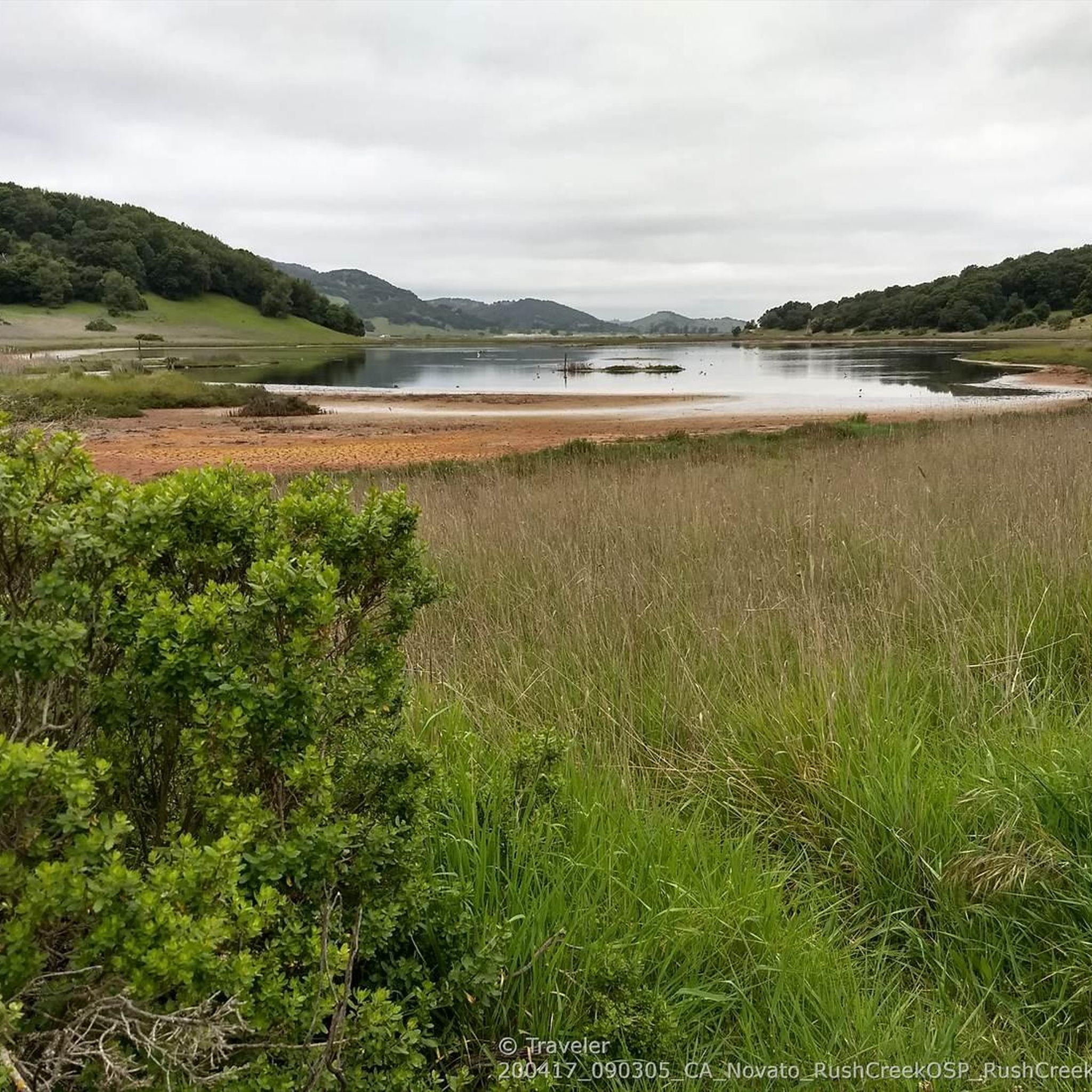
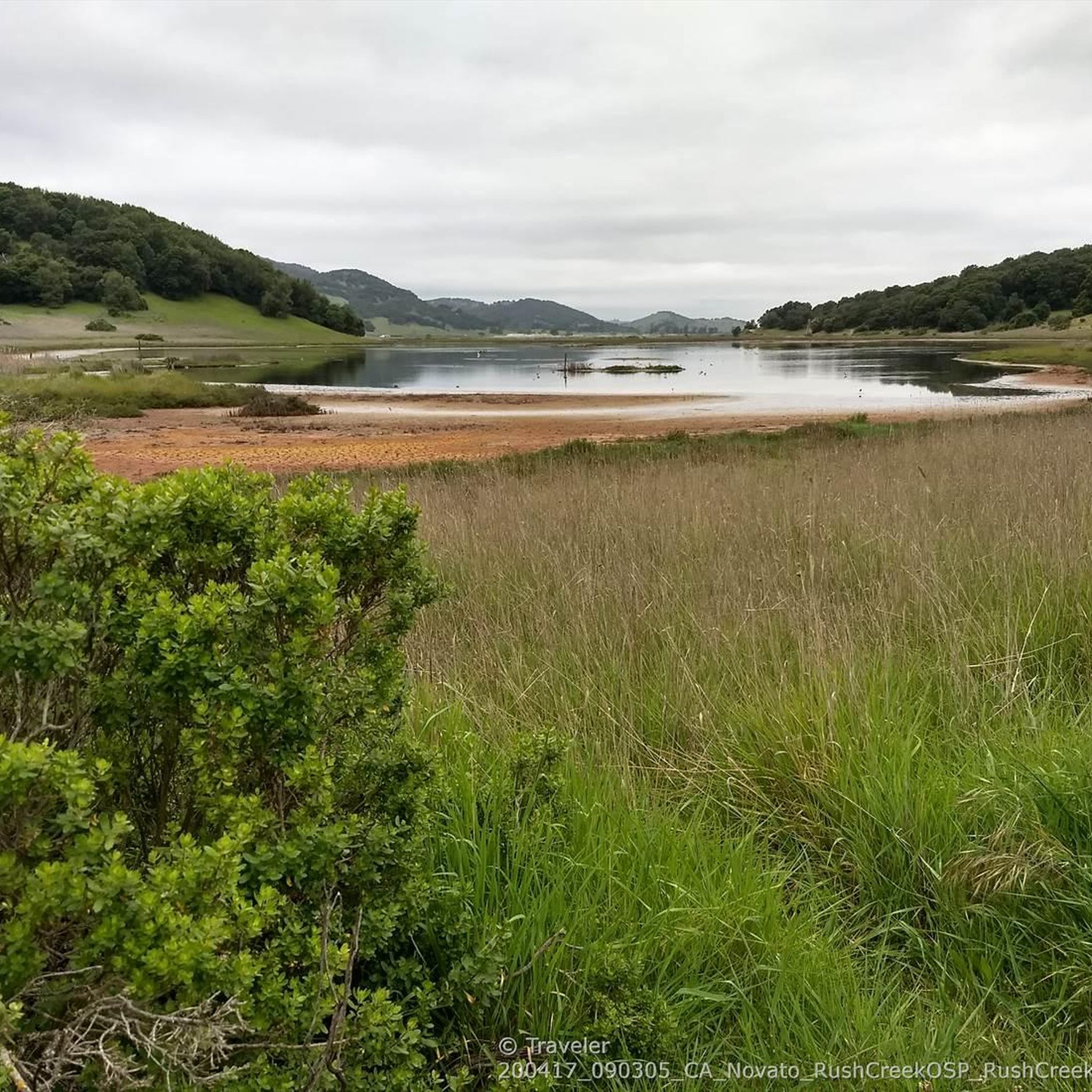
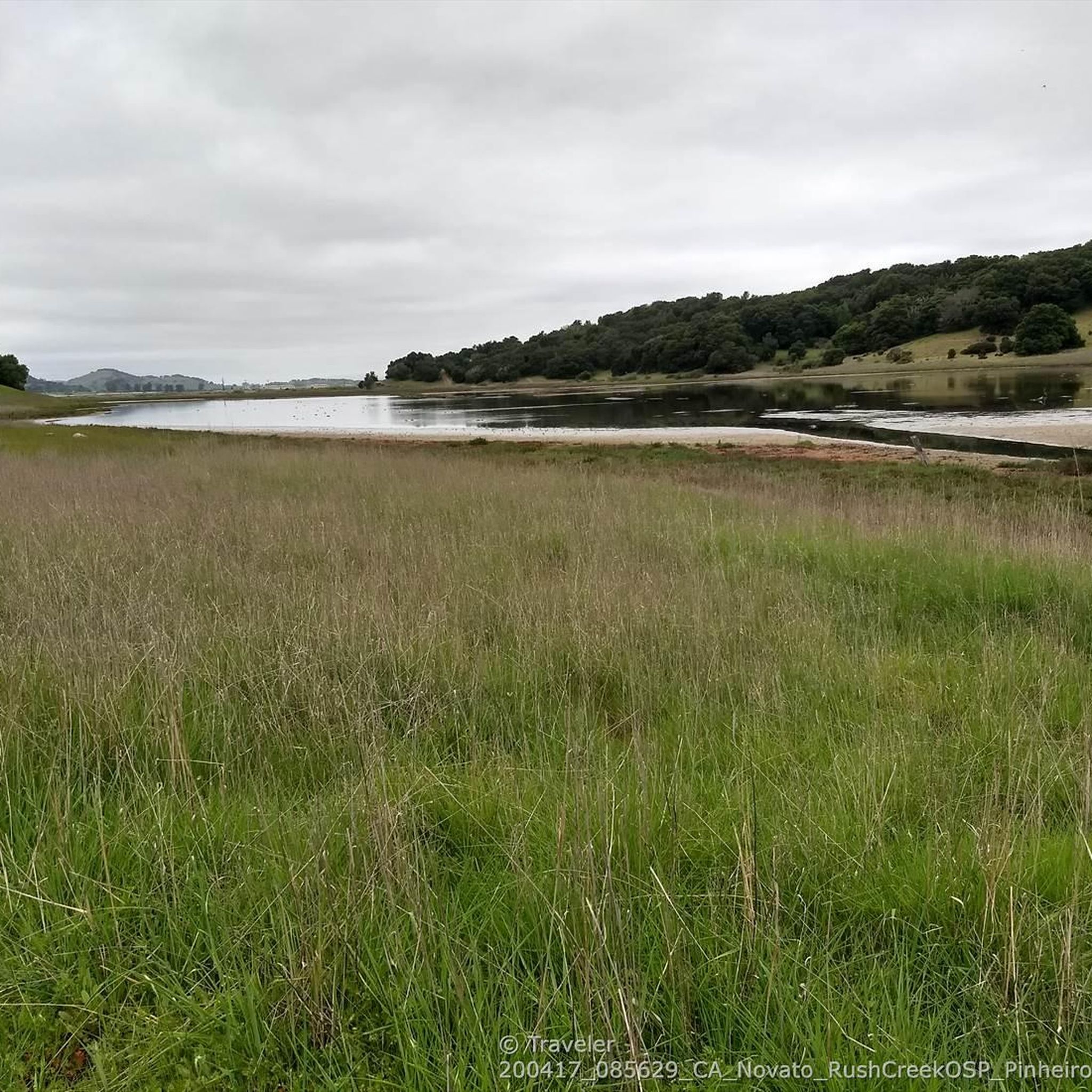
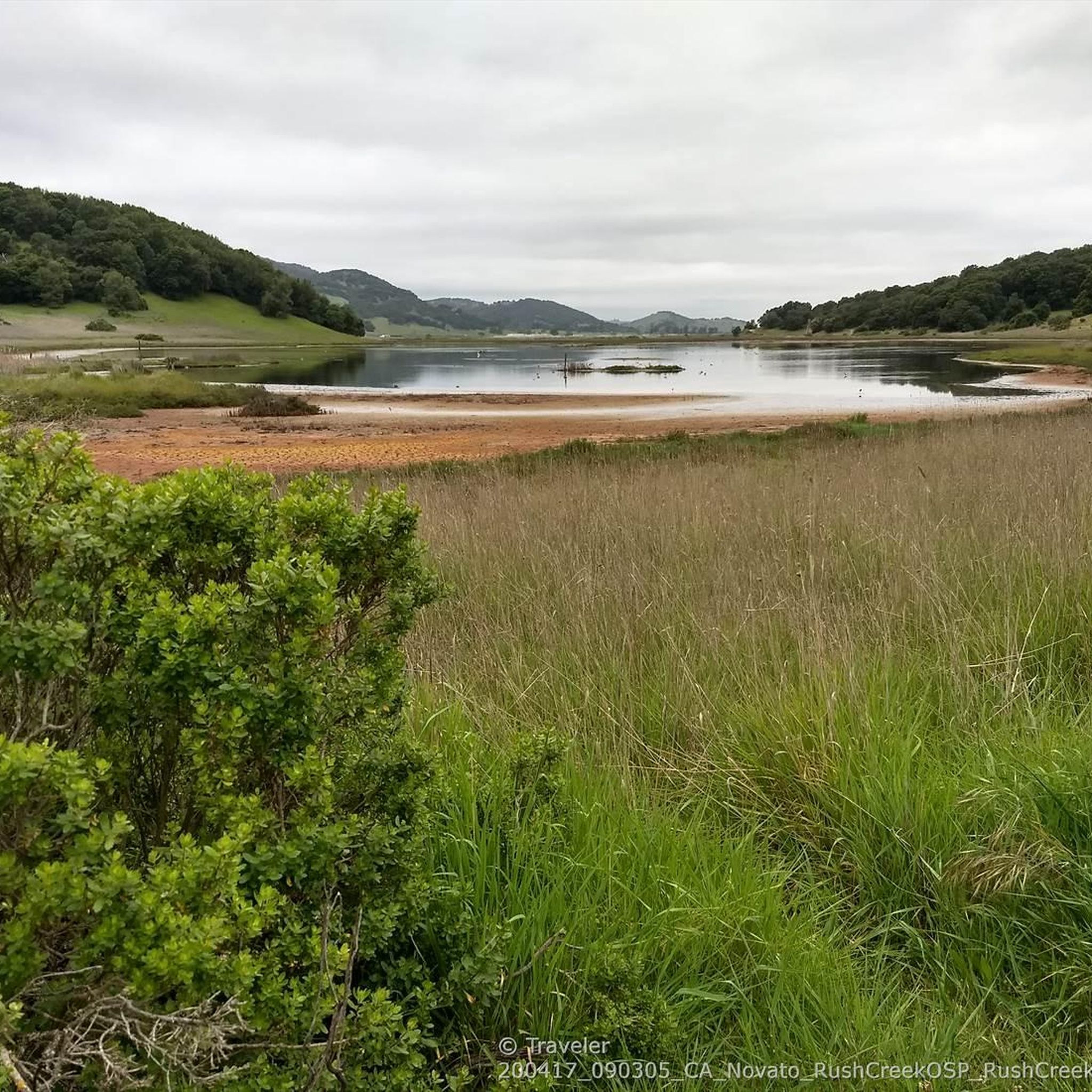
A pleasant little trail for those short on time or with an interest in wetlands and birdwatching.
0
0

Well thought-out bike lane. You can tell you are approaching San Francisco!
0
0
Frequently Asked Questions
How many road cycling routes are available in Deer Island Open Space Preserve?
Deer Island Open Space Preserve offers a diverse network of over 50 road cycling routes. These routes cater to various skill levels, including easy, moderate, and difficult options.
What is the general difficulty level of road cycling in Deer Island Open Space Preserve?
The routes in Deer Island Open Space Preserve offer a range of difficulties. You'll find everything from moderate loops, such as the Olompali State Historic Park – SMART Multiuse Pathway loop from Novato Downtown, to more challenging long-distance rides like the Tomales Bay loop from Downtown Novato, which includes significant elevation gains.
Are there easy road cycling routes suitable for beginners or casual riders?
Yes, there are 16 easy road cycling routes available. While specific easy routes aren't detailed here, the region's multiuse pathways often provide flatter, more accessible sections perfect for a relaxed ride. Look for routes described as 'moderate' or 'easy' on komoot for suitable options.
What kind of views and scenery can I expect while road cycling here?
Road cycling routes in Deer Island Open Space Preserve offer diverse scenery, including extensive bay views, coastal stretches, and historic parklands. You can also experience urban coastal scenery and iconic landmarks on longer routes, such as the Presidio Promenade – Golden Gate Bridge loop from Novato Downtown.
Are there any circular road cycling routes in the area?
Many of the road cycling routes in Deer Island Open Space Preserve are designed as loops, offering a convenient way to start and end your ride in the same location. Examples include the Olompali State Historic Park – SMART Multiuse Pathway loop and the Stafford Lake Park – Olompali State Historic Park loop, both starting from Novato Downtown.
When is the best season for road biking in Deer Island Open Space Preserve?
Marin County generally offers pleasant cycling conditions year-round. However, spring and fall often provide the most comfortable temperatures and clear skies, ideal for enjoying the coastal and bay views without extreme heat or heavy fog. Summer mornings can be cool, while winter might bring occasional rain.
What makes road cycling in Deer Island Open Space Preserve unique compared to other Marin routes?
Deer Island Open Space Preserve stands out for its unique blend of coastal paths, historic parklands, and dedicated multiuse pathways, all accessible from Novato. It offers a distinct mix of bay-side flats and challenging climbs, providing a comprehensive Marin County cycling experience that balances natural beauty with historical exploration.
What do other road cyclists enjoy most about road cycling in Deer Island Open Space Preserve?
The area is highly rated by the komoot community, with an average score of 4.8 stars from over 22 reviews. Cyclists often praise the varied terrain, from scenic bay views to historic parklands, and the well-maintained pathways that offer a range of experiences for different skill levels.
Are there any routes that pass through historic sites?
Yes, several routes incorporate historic areas. For instance, the Olompali State Historic Park – SMART Multiuse Pathway loop from Novato Downtown leads directly through historic parkland, offering a chance to combine your ride with a glimpse into the region's past.
Can I expect to see wildlife while road cycling in the preserve?
While road cycling primarily focuses on paved surfaces, the routes often traverse natural areas adjacent to the bay and open spaces. Keep an eye out for various bird species, especially near the wetlands and bay shores. Deer and other small mammals might also be spotted in the more secluded parkland sections.
Are there any very long or challenging routes for experienced road cyclists?
Absolutely. For experienced cyclists seeking a significant challenge, routes like the Golden Gate Bridge – Presidio Promenade loop from Novato Downtown offer distances exceeding 100 miles and substantial elevation gains, providing an epic day out with iconic views.
Most popular routes in Deer Island Open Space Preserve

Get inspired with the komoot mobile app


Explore more
Browse the best Road cycling routes in other regions.
