The best road cycling routes in King Mountain Open Space Preserve
4.5
(220)
10,376
riders
108
rides
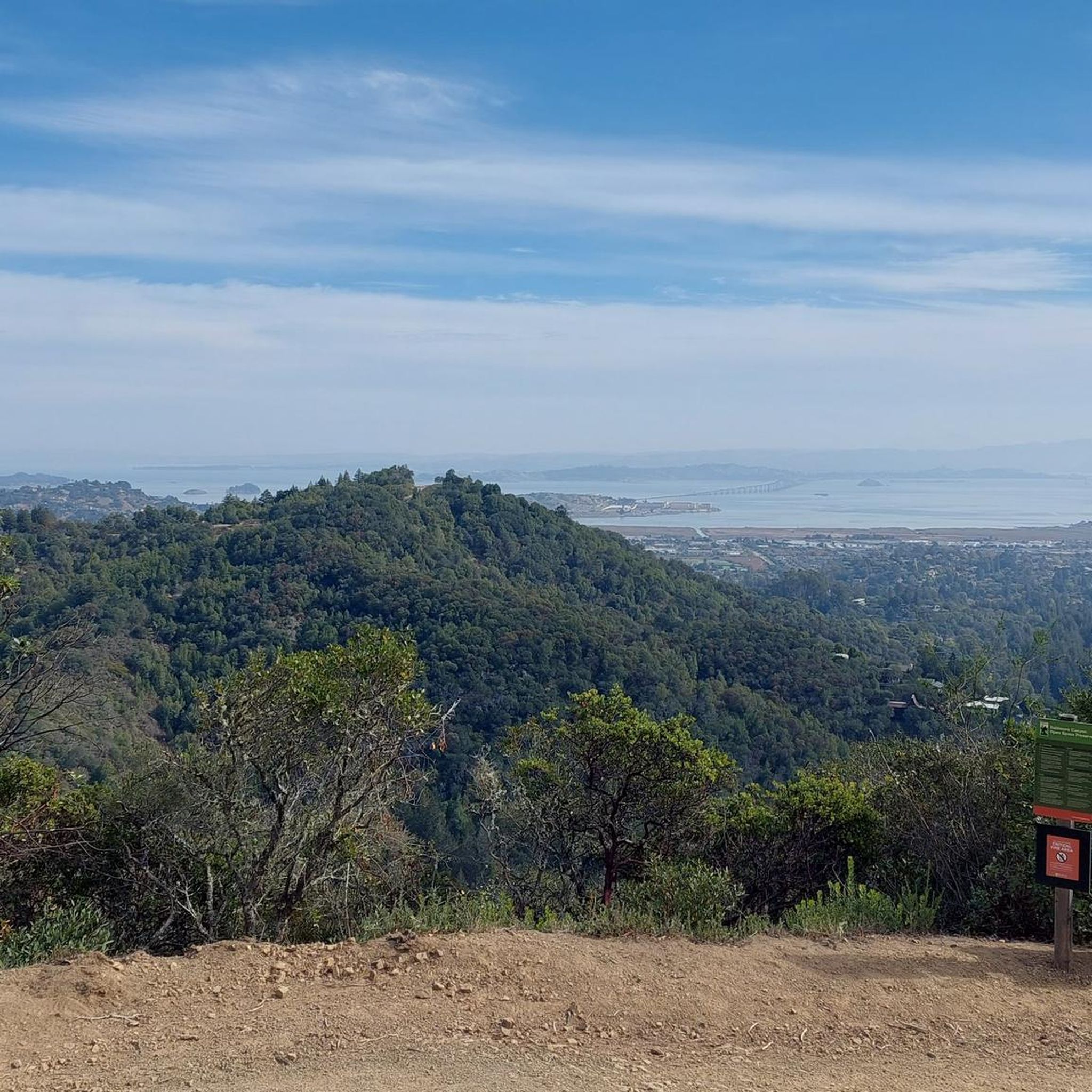
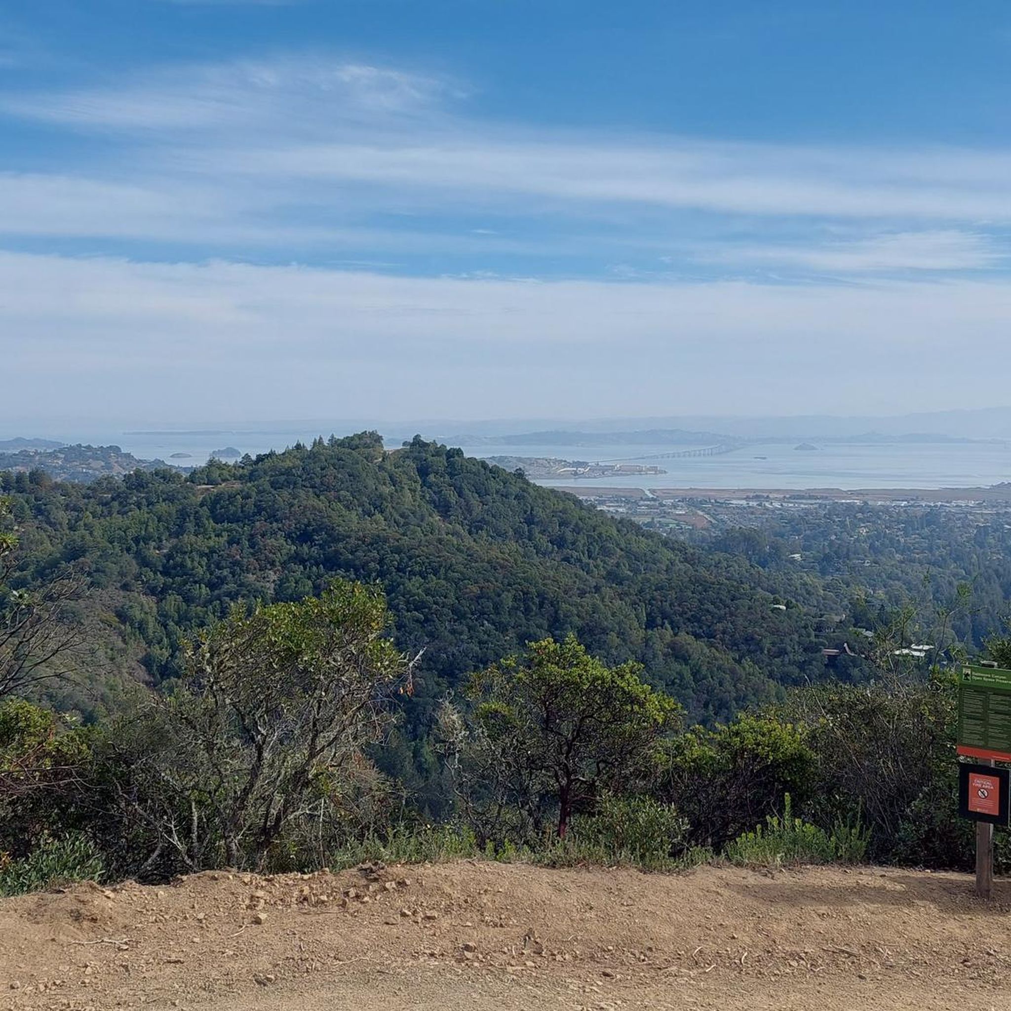
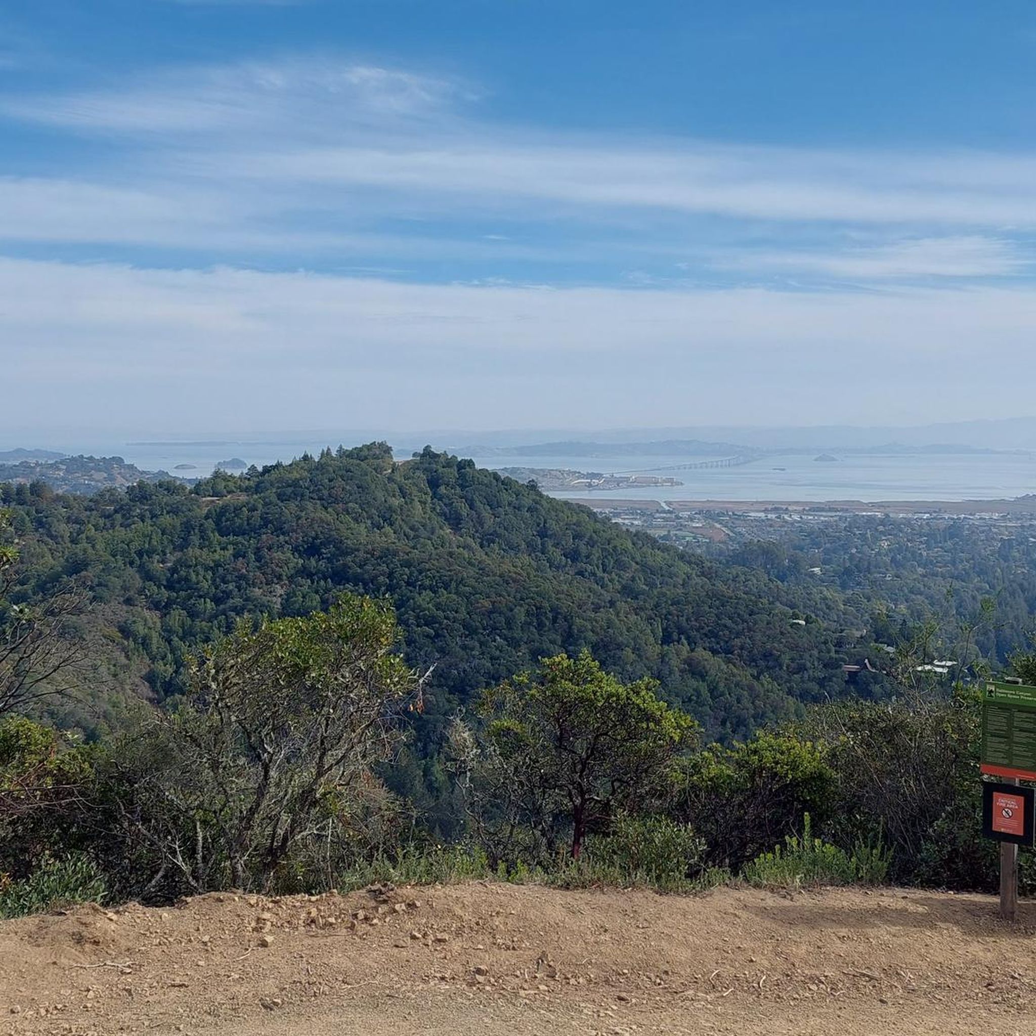
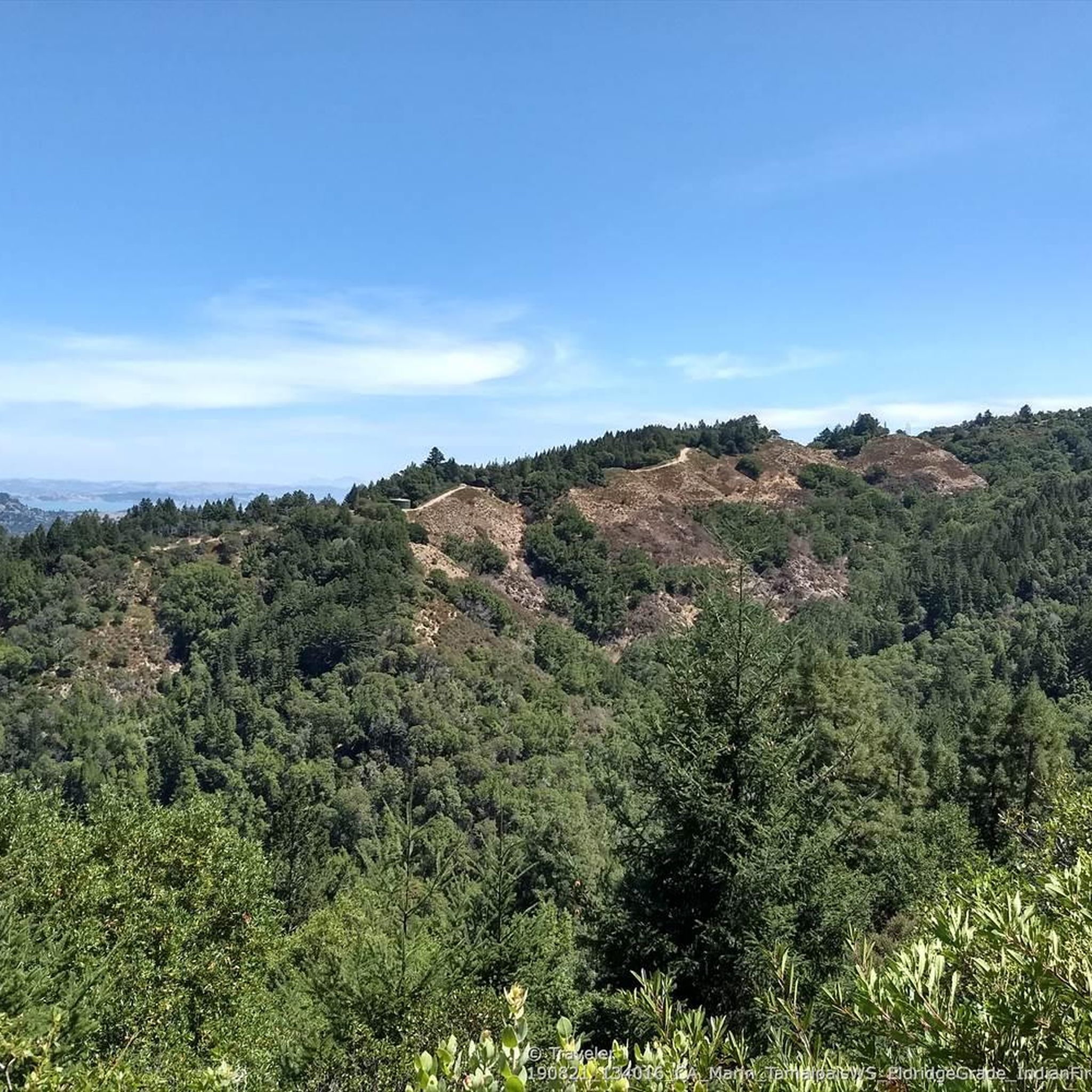
Road cycling routes in King Mountain Open Space Preserve and the surrounding Marin County area traverse diverse landscapes. The region features a mix of multi-use paths and paved roads, offering views of the San Francisco Bay, Mount Tamalpais, and the Richmond-San Rafael Bridge. While the preserve itself is known for fire roads suitable for gravel bikes, the broader area provides accessible road cycling options. These routes often pass through areas with varied plant life, including stands of coast live oak and California bay trees.
Best road cycling routes in King Mountain Open Space Preserve
- The most popular road cycling route is Corte Madera Multi-Use Path – San Anselmo City Hall 🏫 loop from Larkspur, a 9.3 miles (14.9 km) trail that takes 35 minutes to complete. This route offers a relatively flat ride through urban and natural settings.
- Another top favourite among local road cyclists is Camino Alto Road – Sausalito Path loop from Corte Madera, an easy 14.6 miles (23.5 km) path. This route includes some elevation gain, providing views of the surrounding area.
- Local road cyclists also love the Shoreline Highway in Mount Tamalpais State Park – Shoreline Highway 1 loop from Mill Valley, a 32.6 miles (52.4 km) trail leading through coastal landscapes, often completed in about 2 hours 55 minutes.
- Road cycling in King Mountain Open Space Preserve and its vicinity is defined by multi-use paths, scenic roads, and views of the San Francisco Bay. The network offers options for different ability levels, from easy loops to more challenging routes with significant elevation changes.
- The routes in King Mountain Open Space Preserve are highly rated by the komoot community with an average score of 4.6 stars from over 150 reviews. More than 8,800 road cyclists have used komoot to explore King Mountain Open Space Preserve's varied terrain.
Last updated: July 10, 2026
156
riders
35.1km
02:10
940m
940m
Hard road ride. Very good fitness required. Mostly well-paved surfaces and easy to ride.
87
riders
26.2km
01:19
300m
300m
Moderate road ride. Good fitness required. Mostly well-paved surfaces and easy to ride.

Sign up for free
5.0
(2)
61
riders
23.0km
01:04
210m
220m
Easy road ride. Great for any fitness level. Mostly well-paved surfaces and easy to ride.
32
riders
Hard road ride. Very good fitness required. Mostly well-paved surfaces and easy to ride.
4.7
(21)
699
riders
55.5km
02:42
550m
550m
Moderate road ride. Good fitness required. Mostly well-paved surfaces and easy to ride.
Get access to more routes and recommendations from other explorers.
Sign up for free
Already have an account?
Our route recommendations are based on thousands of hikes, rides, and runs completed by other people on komoot.
Start today with a free account
Your next adventure awaits.
Login or Signup
Tips from the Community

Lots of activity.
0
0
The bridge is more delicate than it appears at first glance.
0
0


Set beneath the towering trees of Mount Tam, Rock Springs is the perfect jumping-off point for scenic hikes and quiet picnics—where trails, wildlife, and wide-open views begin.
0
0
Perched high on Mount Tam, the stone-built Mountain Theater offers sweeping views and timeless performances—where nature and art come together in one of California’s most breathtaking open-air stages.
0
0

The Sausalito Bike Path runs through Mill Valley. It's a paved route with great views of the wetlands on the old Northwest-Pacific rail line, which operated from 1884 until its closure in 1971. The path ends near Mike’s Bikes in Marin City, where riders can continue along the busy Bridgeway into Sausalito or take quieter marina backroads.
2
0

The Pantoll Campground is a First-come/first-serve site in Mt. Tamalpais State Park. Each site has a barbeque grill, a fire ring, and a picnic table. You need to pay for the site at the Ranger Station as you enter the park.
1
0

A spectacular, safe cycle route across the bridge. Completely isolated from the cars.
1
0
Frequently Asked Questions
How many road cycling routes are available in the King Mountain Open Space Preserve area?
The King Mountain Open Space Preserve area, including the surrounding Marin County, offers over 100 road cycling routes. These routes cater to various skill levels, from easy loops to more challenging rides with significant elevation changes.
What kind of terrain can I expect on road cycling routes in the King Mountain Open Space Preserve area?
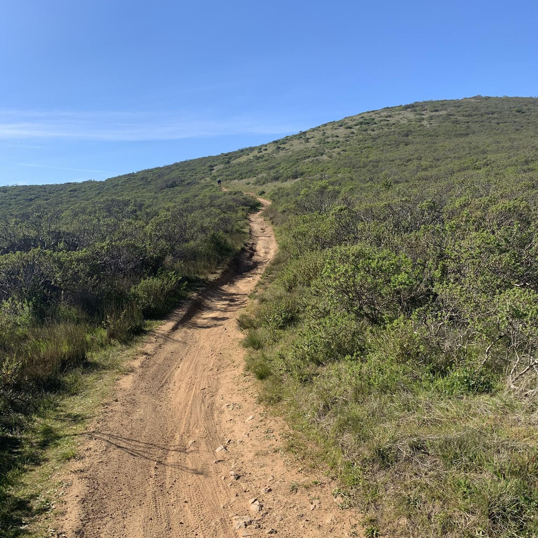
While King Mountain Open Space Preserve itself is primarily known for fire roads suitable for gravel or mountain bikes, the broader area features a mix of multi-use paths and paved roads. You can expect diverse landscapes, including shaded woodlands, sunny grasslands, and routes offering panoramic views of the San Francisco Bay, Mount Tamalpais, and the Richmond-San Rafael Bridge.
Are there any family-friendly road cycling routes in the area?
Yes, there are several easy road cycling routes suitable for families. For instance, the Corte Madera Multi-Use Path – San Anselmo City Hall 🏫 loop from Larkspur is a relatively flat 9.3-mile ride through urban and natural settings, ideal for a relaxed family outing.
What are some scenic viewpoints accessible by road bike in the King Mountain Open Space Preserve area?
Many routes in the broader King Mountain Open Space Preserve area offer stunning views. From various points, you can enjoy panoramic vistas of the San Francisco Bay, Mount Tamalpais, and the Richmond-San Rafael Bridge. The View from King Mountain highlight offers a particularly rewarding perspective.
Are there any routes that feature waterfalls or other natural attractions?
Yes, after rainstorms, seasonal waterfalls can be found in the preserve. The Dawn Falls Trail is a notable attraction, leading through scenic areas to a seasonal waterfall. While the trail itself is primarily for hiking, some nearby cycling routes might offer access points or views of the surrounding natural beauty.
What do other road cyclists enjoy most about cycling in this region?
The King Mountain Open Space Preserve area is highly rated by the komoot community, with an average score of 4.6 stars from over 150 reviews. Cyclists often praise the diverse landscapes, the mix of multi-use paths and scenic paved roads, and the rewarding views of the San Francisco Bay and Mount Tamalpais.
Are there any challenging road cycling routes for experienced riders?
Yes, for experienced riders seeking a challenge, the area offers more demanding routes. The Shoreline Highway in Mount Tamalpais State Park – Shoreline Highway 1 loop from Mill Valley is a difficult 32.6-mile trail with significant elevation gain, leading through coastal landscapes and offering a substantial workout.
Can I find circular road cycling routes in the King Mountain Open Space Preserve area?
Many of the road cycling routes in the area are designed as loops, allowing you to start and end at the same point. Examples include the Camino Alto Road – Sausalito Path loop from Corte Madera and the Horse Hill Bike Path – Pickleweed Inlet crossing loop from Corte Madera, offering convenient circular options.
What is the best time of year for road cycling in the King Mountain Open Space Preserve area?
The region generally offers pleasant cycling conditions for much of the year. Spring brings wildflowers and lush greenery, while fall provides cooler temperatures and clear views. Summers are typically warm and dry, and winters can bring rain, which enhances seasonal waterfalls but may affect trail conditions.
Are there specific rules or restrictions for cycling within King Mountain Open Space Preserve?
Within King Mountain Open Space Preserve, traditional road bikes are generally not suitable for the trails. While some trails like the King Mountain Loop Trail prohibit bikes, the Blithedale Ridge Fire Rd 🗻🚵 is open to bicycles, though it's a dirt fire road more suited for mountain or gravel bikes. Always check local signage for specific trail permissions and be courteous on multi-use paths.
Where can I find parking for road cycling routes in the King Mountain Open Space Preserve area?
Parking is available at various trailheads and access points around the King Mountain Open Space Preserve and the broader Marin County area. Many routes start from towns like Larkspur, Corte Madera, or Mill Valley, which offer public parking options. It's advisable to check specific route descriptions for recommended starting points and parking information.
Are there any cafes or places to stop for refreshments along the road cycling routes?
Yes, many road cycling routes in the area pass through or near charming towns like Larkspur, Corte Madera, and Mill Valley. These towns offer a variety of cafes, restaurants, and shops where you can stop for refreshments, a meal, or to refill water bottles during your ride.
Most popular routes in King Mountain Open Space Preserve
Most popular attractions in King Mountain Open Space Preserve

Get inspired with the komoot mobile app


Explore more
Browse the best Road cycling routes in other regions.
