The best MTB trails in Alto Bowl Open Space Preserve
4.7
(195)
1,575
riders
94
rides
Mountain bike trails in Alto Bowl Open Space Preserve offer diverse terrain across rolling hills, extensive oak woodlands, and open grasslands. The preserve features moderate elevation changes and provides crucial connections to other public lands, including trails ascending towards Mount Tamalpais. Dedicated paved bike paths on its east and west sides also link to the Mill Valley / Sausalito Multiuse Pathway, expanding riding options. This area is characterized by a blend of natural features and local attractions, making it suitable…
Last updated: August 19, 2026
4.3
(3)
67
riders
43.3km
04:17
1,120m
1,120m
Hard mountain bike ride. Very good fitness required. Suitable for all skill levels.
5.0
(13)
58
riders
48.4km
04:37
1,340m
1,340m
Hard mountain bike ride. Very good fitness required. Suitable for all skill levels.

Sign up for free
25
riders
18.3km
01:32
370m
370m
Moderate mountain bike ride. Good fitness required. Suitable for all skill levels.
5.0
(2)
22
riders
59.7km
05:45
1,500m
1,500m
Hard mountain bike ride. Very good fitness required. Suitable for all skill levels.
5.0
(1)
12
riders
29.2km
02:14
500m
500m
Moderate mountain bike ride. Good fitness required. Suitable for all skill levels.
Get access to more routes and recommendations from other explorers.
Sign up for free
Already have an account?
Our route recommendations are based on thousands of hikes, rides, and runs completed by other people on komoot.
Start today with a free account
Your next adventure awaits.
Login or Signup
Tips from the Community

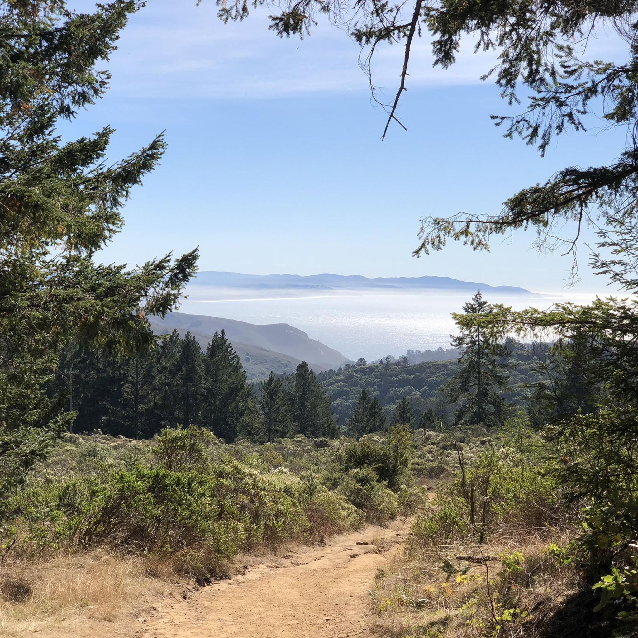
Geodesic point at the top of Coyote Ridge, with panoramic views across the Marin Headlands, with low brush offering views down toward the coast
0
0
Middle Green Gulch can be only used for uphill biking (and hiking either direction), not biking downhill! It arrives here at Coyote Ridge Trail just some 15 yards south of Green Gulch trail, which can be used to go downhill instead. Coyote Ridge is a wide gravel fire road, sloping down toward the coast.
0
0

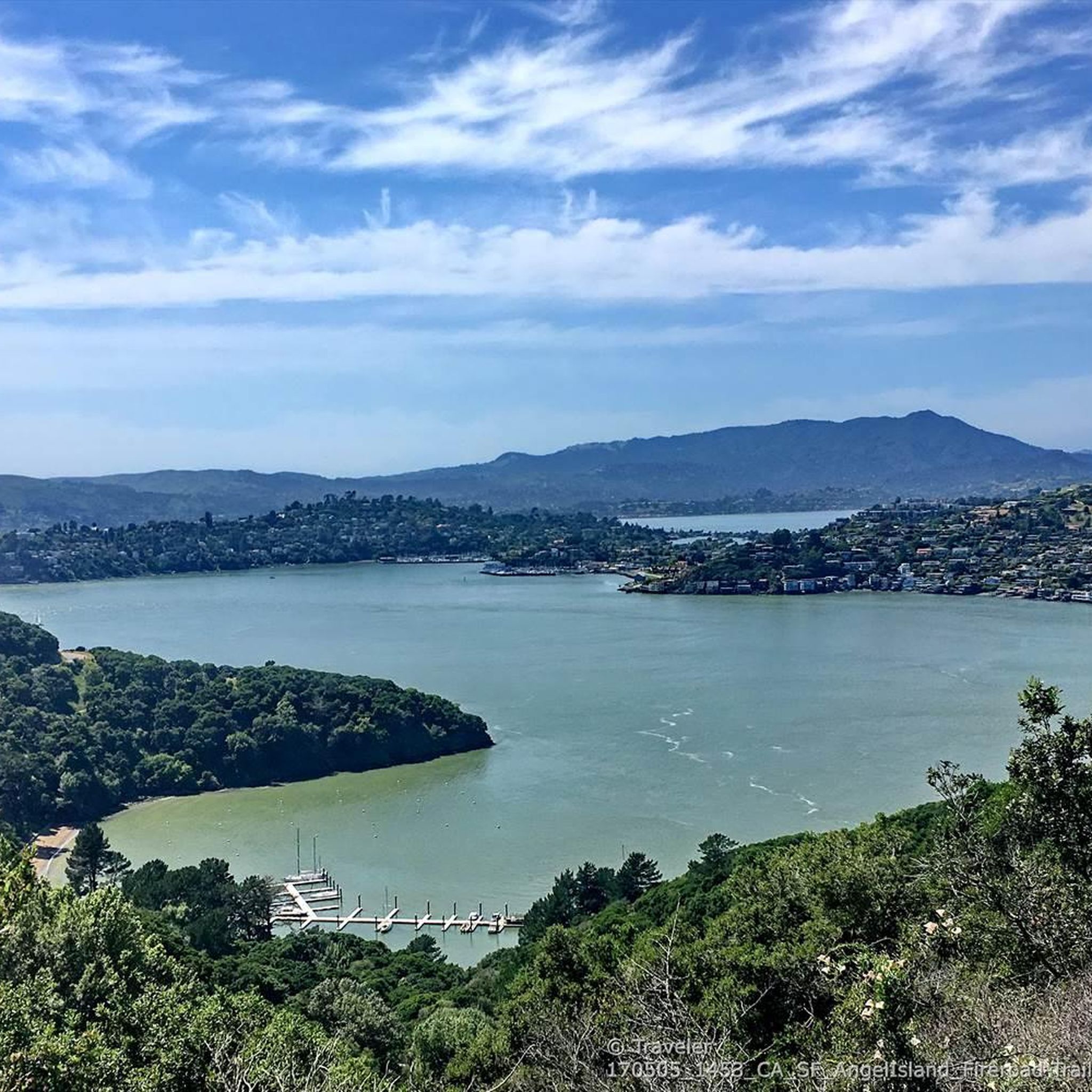
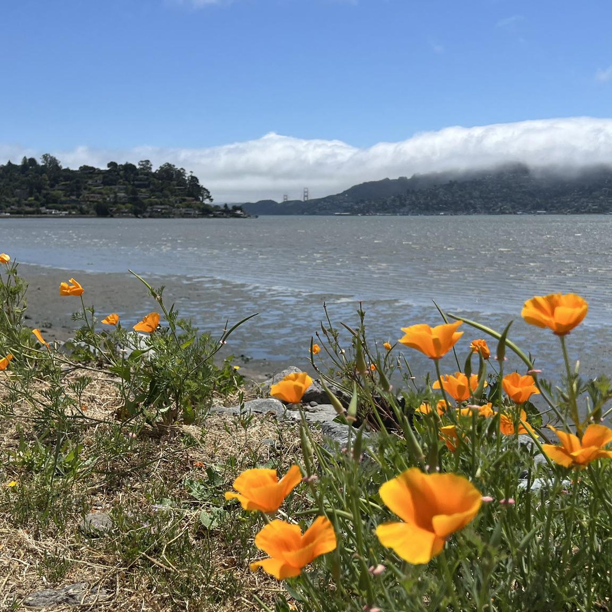
Beautiful, quiet bay. With great surroundings. Not too crowded.
0
0

Pantoll Road is a beautiful, mostly paved route through Mount Tamalpais State Park, connecting the Panoramic Highway to Ridgecrest Boulevard. It winds closely along the curves of the hillside, with some shade from the trees in some spots. There are fantastic views along the way of San Francisco and the Marin Headlands, with incredible viewpoints over the Pacific coastline.
0
0

Nice place to start a trail run or hike!
0
0
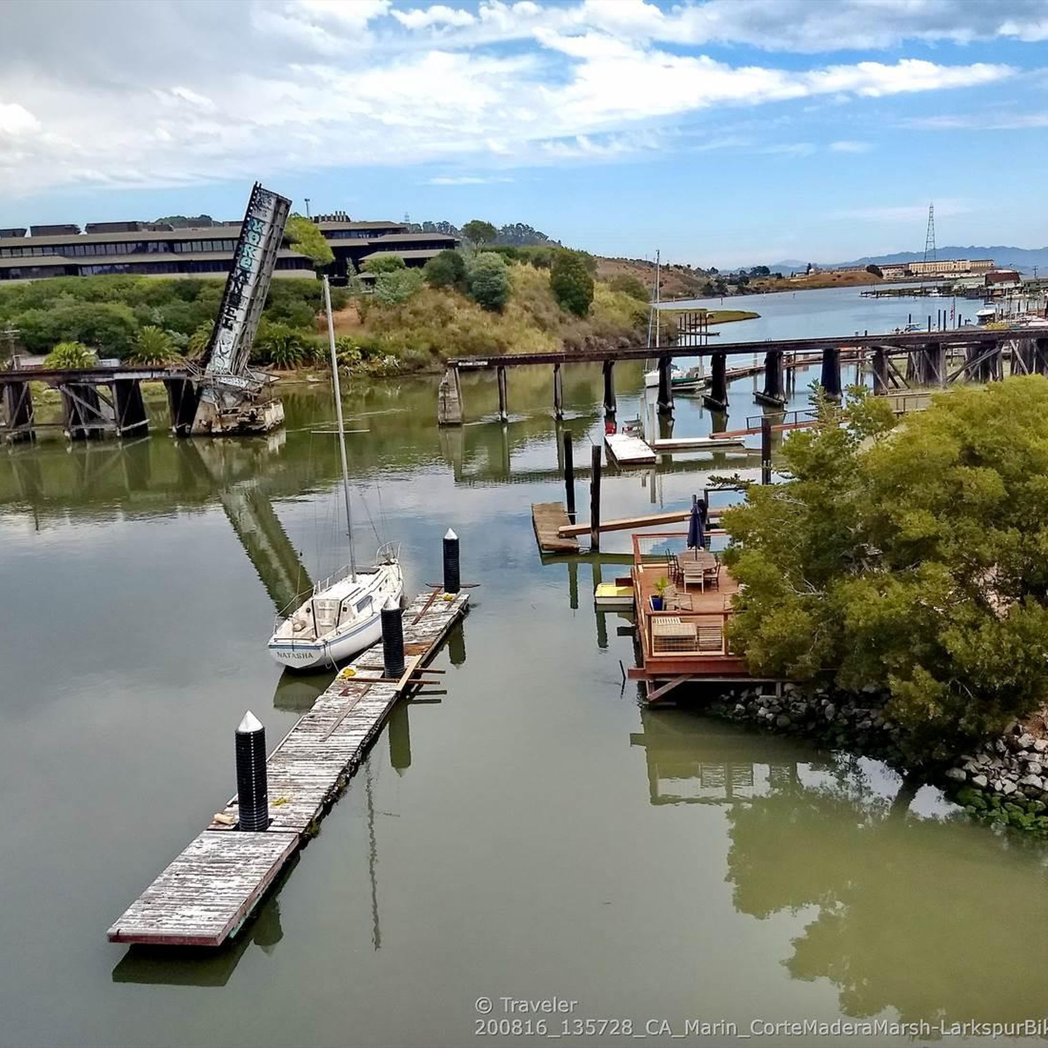
There are, indeed, horses on this hill. Connector path between Mill Valley and Corte Madera, easier than Camino alto. The alto tunnel is still closed, learn more here: https://openaltotunnel.org/
0
0
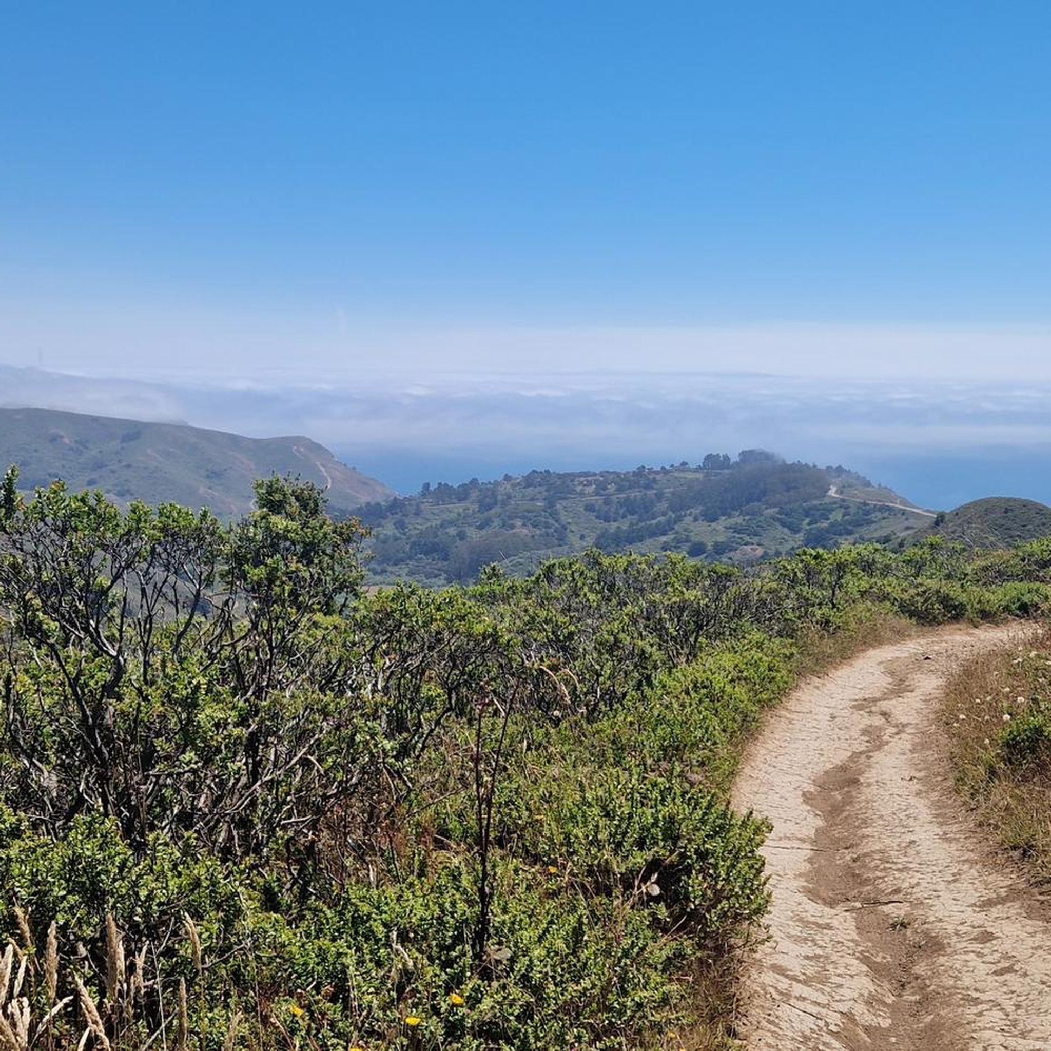
After looping around West Point the Railroad Grade trail snakes through open and tree-lined sections with fun curves.
0
0
On clear days views open up along the trail across the bay and including the San Francisco skyline
0
0
Frequently Asked Questions
How many mountain bike trails are available in Alto Bowl Open Space Preserve?
There are over 85 mountain bike trails in Alto Bowl Open Space Preserve, offering a wide range of experiences from moderate to difficult. The komoot community has explored these trails over 1900 times, providing an average rating of 4.8 stars.
What is the general difficulty level of mountain biking trails in Alto Bowl Open Space Preserve?
The trails in Alto Bowl Open Space Preserve cater to various skill levels. While there are 10 easy routes, the majority are moderate (58 routes) or difficult (19 routes), featuring rolling hills and moderate elevation changes. For a challenging ride, consider the Old Mine Trail (lower) 🌲 – Miwok Trail loop from Mill Valley.
Are there any family-friendly mountain bike trails in Alto Bowl Open Space Preserve?
Yes, Alto Bowl Open Space Preserve offers dedicated paved bike paths on its east and west sides, which are suitable for families. These paths connect to the Mill Valley / Sausalito Multiuse Pathway, providing a safer and less strenuous option for a family outing.
What kind of natural features and landscapes can I expect to see while mountain biking?
You'll ride through diverse landscapes including rolling hills, extensive oak woodlands, and open grasslands. The preserve also features groves of eucalyptus, California bays, and coast live oaks. In spring, the area bursts with wildflowers like California poppy and lupine, adding to the scenic beauty.
Are there any notable viewpoints along the mountain bike trails?
From elevated points within the preserve, you can enjoy breathtaking panoramic views. These often include Tiburon Ridge, the San Francisco skyline, the Richmond-San Rafael Bridge, and the expansive bay. A particularly beloved local landmark is "Horse Hill," known for its grazing horses, offering a picturesque view.
What wildlife might I encounter while mountain biking in Alto Bowl Open Space Preserve?
The preserve is home to various wildlife. You might spot American kestrels, red-tailed hawks, northern harriers, foxes, raccoons, and deer. While less common, coyotes and bobcats are also present in the area.
Are there loop mountain bike trails available in the preserve?
Yes, many of the mountain bike routes in Alto Bowl Open Space Preserve are loops. For example, the Marincello Trail – Rodeo Valley Trail loop from Mill Valley and the Bobcat Trail – Marincello Trail loop from Mill Valley are popular options that allow you to start and end in the same location.
What is the best time of year to go mountain biking in Alto Bowl Open Space Preserve?
Spring is particularly beautiful due to the abundance of wildflowers. However, the trails are enjoyable year-round. Some trails, like the Bob Middagh Trail, are described as offering a great experience when conditions are wet, tacky, and grippy, suggesting good riding even outside of dry seasons.
Is parking available for mountain bikers at Alto Bowl Open Space Preserve?
Yes, Lomita Drive serves as an entrance to the Horse Hill Fire Road and provides access to the preserve, implying parking facilities are available nearby. It's advisable to check specific trailhead information for designated parking areas.
What do other mountain bikers enjoy the most about mountain biking in Alto Bowl Open Space Preserve?
The area is highly rated by the komoot community, with an average score of 4.8 stars. Reviewers often praise the diverse terrain, the crucial connections to wider trail networks like those ascending towards Mount Tamalpais, and the blend of natural beauty with accessible trails.
Are there any connections to other trail networks from Alto Bowl Open Space Preserve?
Yes, Alto Bowl provides crucial connections to other public lands. It links to the Mill Valley / Sausalito Multiuse Pathway and various trails that ascend towards Mount Tamalpais, allowing for extended rides and exploration beyond the preserve itself.
Are permits required for mountain biking in Alto Bowl Open Space Preserve?
The provided information does not indicate that permits are required for general mountain biking in Alto Bowl Open Space Preserve. However, it's always a good practice to check the official website of the preserve or local park authorities for the most current regulations before your visit.
Most popular routes in Alto Bowl Open Space Preserve

Get inspired with the komoot mobile app


Explore more
Browse the best MTB trails in other regions.
