Taylor Mountain Regional Park And Open Space Preserve
Taylor Mountain Regional Park And Open Space Preserve
The best cycling routes in Taylor Mountain Regional Park And Open Space Preserve
4.1
(36)
329
riders
47
rides
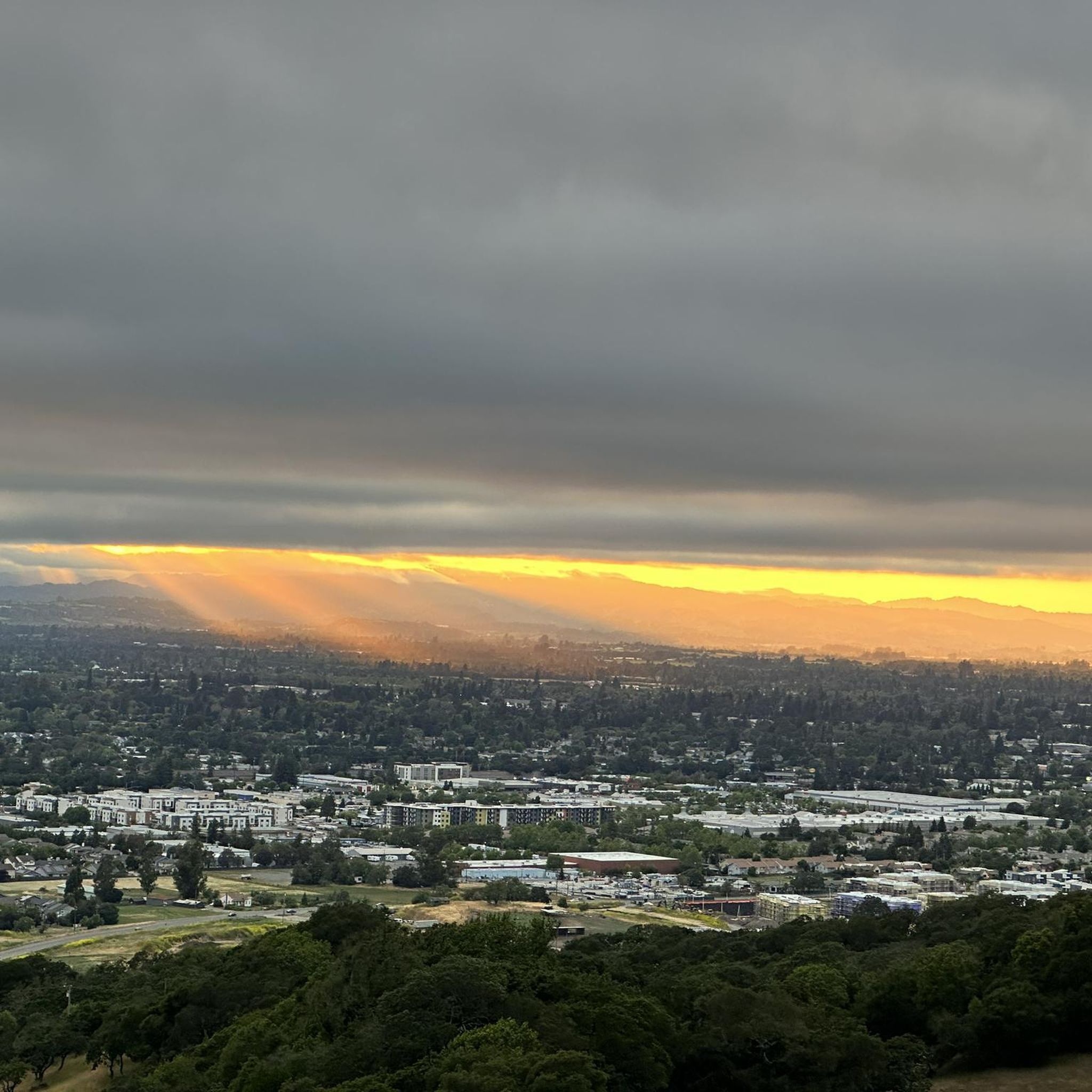
Touring cycling in Taylor Mountain Regional Park And Open Space Preserve offers diverse landscapes across 1,100 acres. The terrain features sweeping grasslands, grassy hillsides, and extensive oak woodlands, with various creeks traversing the area. Cyclists can experience shaded forests, rolling meadows, and seasonal wetlands, with elevations ranging from gentler paths to steeper grades leading to viewpoints. From higher elevations, the park provides panoramic views of Santa Rosa, Bennett Valley, and the Mayacamas Mountains.
Best touring cycling routes in Taylor Mountain…
Last updated: July 8, 2026
3.0
(1)
15
riders
Hard bike ride. Good fitness required. You may need to push your bike for some segments of this route.
17
riders
Hard bike ride. Good fitness required. You may need to push your bike for some segments of this route.

Sign up for free
10
riders
40.1km
03:03
580m
580m
Hard bike ride. Very good fitness required. You may need to push your bike for some segments of this route.
7
riders
18.7km
01:11
110m
110m
Easy bike ride. Great for any fitness level. Mostly paved surfaces. Suitable for all skill levels.
4
riders
44.7km
02:50
440m
440m
Moderate bike ride. Good fitness required. Mostly paved surfaces. Suitable for all skill levels.
Get access to more routes and recommendations from other explorers.
Sign up for free
Already have an account?
Our route recommendations are based on thousands of hikes, rides, and runs completed by other people on komoot.
Start today with a free account
Your next adventure awaits.
Login or Signup
Popular around Taylor Mountain Regional Park And Open Space Preserve
Tips from the Community

Spring Lake Park is a 320-acre park that has miles of trails, a large reservoir, and a beach. There is a paved path that loops around the reservoir, as well as some single and double track.
0
0
The Santa Rosa Creek Reservoir is a popular outdoor destination in Santa Rosa. The reservoir was created by a nearby dam.
0
0

This expansive 138-acre community park offers ample parking and restrooms and is a popular starting and ending point for local cyclists. There are plenty of outdoor activities, with the park boasting serene Lake Ralphine for fishing and boating, a softball field, tennis and pickleball courts, inviting picnic areas, and innovative playground structures. There is also a small amusement area with train rides for kids. It is a great gathering spot for families, with miles of trails to explore.
0
0

Leafy park along the west shore of the large Santa Rosa Creek Reservoir, with good running trails around the water and through the meadows and shaded groves
1
0
Reservoir at the foot of Annadale State Park with a great trail system around the lake, connecting into the large park, and on trails into Santa Rosa along creeks.
1
0
Shallow lake with wide sandy beach next to Spring Lake, with food concessions, showers
0
0

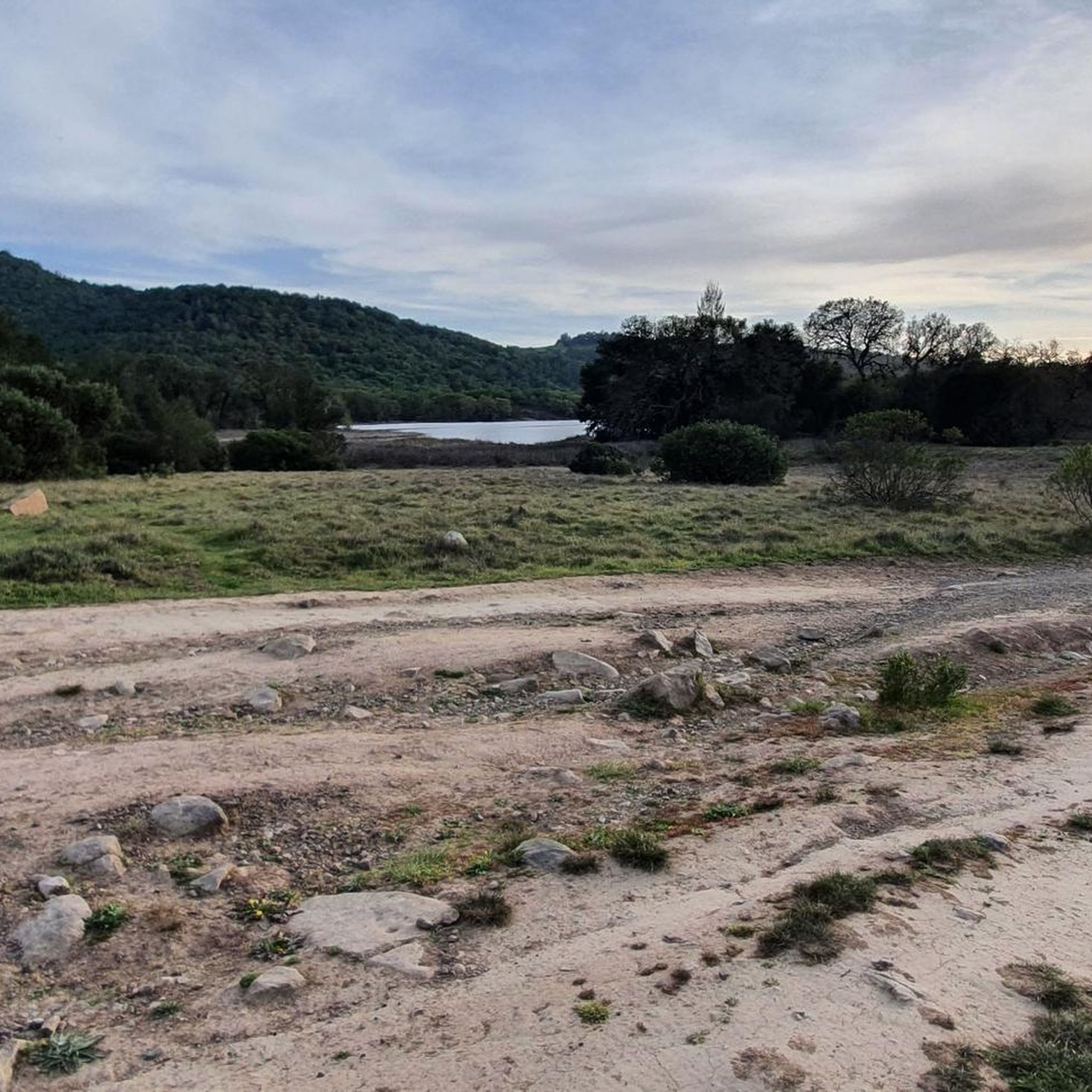
Within this park, there are extensive miles of trails available for hiking, biking, and horseback riding. The landscape comes alive with an array of wildflowers, particularly vibrant during spring. Notably, Lake Ilsanjo stands as a park highlight, offering opportunities for fishing and often attracting anglers.
0
0
Great option on a single track to get off the parallel park road
1
0
Frequently Asked Questions
How many touring cycling routes are available in Taylor Mountain Regional Park?
Taylor Mountain Regional Park and Open Space Preserve offers over 45 touring cycling routes. These routes cater to various skill levels, with approximately 20 easy, 16 moderate, and 11 difficult options available for exploration.
What kind of terrain can I expect when touring cycling in Taylor Mountain Regional Park?
Cyclists can expect a diverse range of terrain, including sweeping grasslands, grassy hillsides, and extensive oak woodlands. The park features both gentler paths through creek canyons and oak woodlands, as well as steeper grades leading to higher elevations like Colgan Peak. You'll find trails with long, gradual switchbacks and more challenging climbs, often weaving through shaded forests and rolling meadows.
Are there routes suitable for beginner touring cyclists?
Yes, Taylor Mountain Regional Park offers several routes suitable for beginner touring cyclists. For example, the Santa Rosa Downtown Station – Piner Creek Trail loop from Montgomery Village is an easy route with minimal elevation gain. Another accessible option is the Joe Rodota and Santa Rosa Creek Trails Loop, which is also rated as easy.
What are some challenging touring cycling routes in the park?
For experienced touring cyclists seeking a challenge, routes like the Channel Trail loop from Montgomery Village offer significant elevation gain and expansive views. The park's terrain includes steeper grades leading to the summit of 1,120-foot Colgan Peak, providing vigorous climbs with rewarding vistas.
What are the best viewpoints or scenic spots for cyclists in Taylor Mountain Regional Park?
From higher elevations within the park, cyclists can enjoy panoramic views of Santa Rosa, Bennett Valley, the Santa Rosa Plain, distant peaks, and the Mayacamas Mountains. The East Knoll overlook, at 1,140 feet, is a notable spot offering stunning vistas. Trails like the Sky Lupine Trail also provide sweeping views as they ascend.
Are there any historical or unique landmarks to see while cycling?
Yes, the Kawana Terrace Trail passes by the historic ruins of a 19th-century hot springs resort, adding a touch of historical intrigue to your ride through the park.
Can I find circular touring cycling routes in the park?
Many of the touring cycling routes in Taylor Mountain Regional Park are designed as loops, allowing you to start and end at the same point. Examples include the Spring Lake Park – Santa Rosa Swimming Lagoon loop from Montgomery Village and the Julliard Park loop from Bennett Valley.
Is Taylor Mountain Regional Park suitable for family cycling trips?
Yes, the park offers an accessible natural play area and trails of varying difficulty, including easier, shaded paths. While some trails are challenging, there are options suitable for families looking for a more relaxed cycling experience. The presence of picnic tables also makes it convenient for family outings.
Are dogs allowed on the touring cycling routes?
The provided information does not explicitly state the dog policy for touring cycling routes. It is recommended to check the official Sonoma County Regional Parks website for the most current regulations regarding dogs on trails within Taylor Mountain Regional Park and Open Space Preserve: Sonoma County Regional Parks.
What are the parking options for cyclists visiting Taylor Mountain Regional Park?
The park features parking facilities at the Petaluma Hill Road entrance. Additionally, recent trail expansions have included new walk-in/bike-in entrances, making access even more convenient for cyclists.
What do other touring cyclists enjoy the most about touring cycling in Taylor Mountain Regional Park?
The area is highly rated by the komoot community, with an average score of 4.3 stars from over 30 reviews. Reviewers often praise the diverse landscapes, from oak woodlands to grassy hillsides, and the panoramic viewpoints that offer stunning vistas of the surrounding region.
What is the best time of year to go touring cycling in Taylor Mountain Regional Park?
The park's diverse habitats include seasonal wetlands during the rainy season, which can affect trail conditions. While the park is generally enjoyable year-round, spring and fall often offer the most pleasant weather for cycling. During the rainy season, some trails might be muddy or temporarily closed, so it's advisable to check current trail conditions before your visit. For up-to-date information, you can consult the official park website: Sonoma County Regional Parks.
Most popular routes in Taylor Mountain Regional Park And Open Space Preserve

Get inspired with the komoot mobile app


Explore more
Browse the best Cycling routes in other regions.
