The best walks and hikes around Illerkirchberg
4.5
(3081)
20,222
hikers
39
hikes
Hiking around Illerkirchberg offers diverse landscapes within the Alb-Donau district of Baden-Württemberg, Germany. The region is characterized by the scenic Iller River, with paths winding along its banks, and extensive forests and fields. It is also strategically positioned along the Main-Danube-Lake Constance Trail, which traverses the Swabian Alb region. This environment provides varied terrain suitable for different hiking experiences.
Best hiking trails around Illerkirchberg
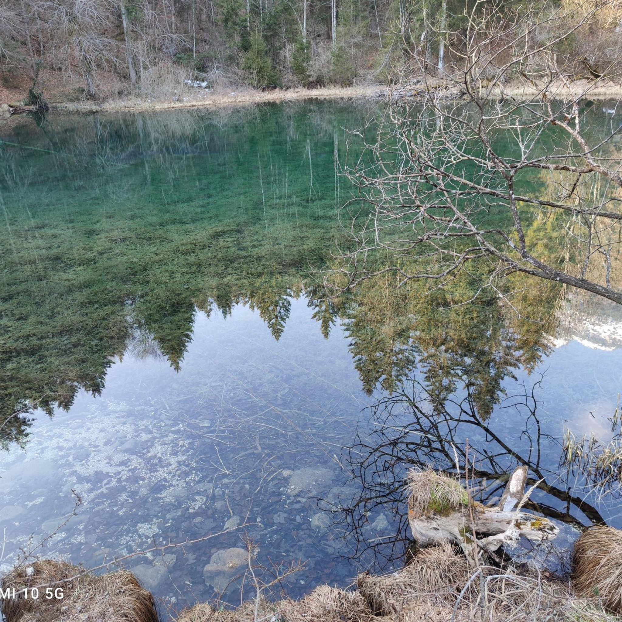
- The most popular hiking route is Maiers Lake – Chapel of St. Mary loop from Illerkirchberg…
Last updated: August 20, 2026
4.7
(13)
33
hikers
Moderate hike. Good fitness required. Easily-accessible paths. Suitable for all skill levels.
4.0
(2)
33
hikers
Moderate hike. Good fitness required. Easily-accessible paths. Suitable for all skill levels.

Sign up for free
5.0
(7)
26
hikers
5.50km
01:24
20m
20m
Easy hike. Great for any fitness level. Easily-accessible paths. Suitable for all skill levels.
4.5
(4)
22
hikers
5.95km
01:32
30m
30m
Easy hike. Great for any fitness level. Easily-accessible paths. Suitable for all skill levels.
3.3
(4)
9
hikers
Moderate hike. Good fitness required. Easily-accessible paths. Suitable for all skill levels.
Get access to more routes and recommendations from other explorers.
Sign up for free
Already have an account?
Our route recommendations are based on thousands of hikes, rides, and runs completed by other people on komoot.
Start today with a free account
Your next adventure awaits.
Login or Signup

Other adventures around Illerkirchberg

Tips from the Community

Under restoration, rather under demolition
0
0
I have rarely seen such a dilapidated mini-golf park.
0
0
This is the former Swabian Alb Association house
0
0

This hike is ideal for children. It's varied and informative about nature and wildlife. Easy to walk on beautiful trails, even in bad weather.
0
0

Here you have to get off and push ;-))
0
0

The monastery church is currently under scaffolding, but the library hall shines in magnificent splendor. https://www.kloster-wiblingen.de/
0
0

At the Ayer Werkskanal near the car bridge to Oberkirchberg.
0
0
Frequently Asked Questions
What kind of terrain can I expect on hikes around Illerkirchberg?
Hiking around Illerkirchberg offers a diverse landscape. You'll find scenic paths winding along the Iller River, extensive forests, and open fields. The region is also part of the Swabian Alb, which provides varied terrain. Most routes are relatively easy, with 24 out of 36 trails classified as easy, 11 as moderate, and only 1 as difficult.
Are there easy hiking trails suitable for beginners in Illerkirchberg?
Yes, Illerkirchberg is very beginner-friendly. A significant majority of the trails, 24 out of 36, are classified as easy. For example, the Path Along the Illerkanal – Iller Riverbank loop from Illerkirchberg is an easy 3.4-mile (5.5 km) route offering pleasant riverside scenery.
Are there any circular hiking routes in Illerkirchberg?
Yes, many of the popular routes around Illerkirchberg are circular. For instance, the Maiers Lake – Chapel of St. Mary loop from Illerkirchberg is a 3.7-mile (5.9 km) circular trail. Another option is the St. Martin Church loop from Illerkirchberg, which is 3.9 miles (6.3 km) long.
What natural features or landmarks can I see while hiking in Illerkirchberg?
Illerkirchberg's trails often feature the scenic Iller River and its banks, as well as local forests and fields. You might encounter points of interest like Binsenweiher and Albvereinshäusle. Historically, the area is known for Kirchberg Castle, which is included in the Kirchberg Castle – Former Water Tower loop from Illerkirchberg. Nearby attractions also include various lakes such as Großer Ersinger Lake and Ludwigsfelder Lake, and historical sites like Wilhelmsburg Fortress, Ulm.
Is Illerkirchberg a good place for family-friendly hikes?
Yes, Illerkirchberg is well-suited for family-friendly hikes, especially given the high number of easy trails. The paths along the Iller River and through local forests are generally accessible and offer pleasant scenery for all ages. Many of the circular routes are also of moderate length, making them manageable for families.
Can I bring my dog on hiking trails in Illerkirchberg?
While specific regulations for dogs on every trail are not detailed, the natural environment of Illerkirchberg, with its extensive forests and fields, generally welcomes dogs. It's always advisable to keep dogs on a leash, especially near wildlife or agricultural areas, and to clean up after them. The riverside paths are usually a good option for walks with pets.
What is the best time of year to go hiking in Illerkirchberg?
The region of Baden-Württemberg, where Illerkirchberg is located, is celebrated as a 'hiking wonderland' with varied landscapes. Spring and autumn generally offer the most pleasant temperatures and beautiful scenery with blooming nature or vibrant fall colors. Summer is also suitable, though some paths might be more exposed to the sun. Winter hiking is possible, but conditions can vary, so checking local weather is recommended.
Are there options for public transport to access hiking trails in Illerkirchberg?
Illerkirchberg is located in the Alb-Donau district, and public transport options typically connect the smaller towns and villages to larger hubs like Ulm. While specific bus stops for trailheads are not detailed, it's generally possible to reach the vicinity of Illerkirchberg by regional bus services. For detailed schedules, it's best to consult local public transport providers.
Where can I find parking for hiking in Illerkirchberg?
Parking is generally available in and around the village centers of Illerkirchberg and nearby communities. Many trailheads, especially for popular loops, often have designated parking areas. It's recommended to check local signage upon arrival or use navigation apps that show parking facilities near your chosen starting point.
What do other hikers enjoy the most about hiking in Illerkirchberg?
The area is highly rated by the komoot community, with an average score of 4.2 stars from over 40 reviews. Hikers often praise the diverse landscapes, including the peaceful riverside paths along the Iller, the quiet woodlands, and the open fields. The accessibility of many easy and circular routes also contributes to its popularity among visitors.
How long do hiking routes around Illerkirchberg typically take?
The duration of hikes in Illerkirchberg varies, but many popular routes are designed for shorter excursions. For example, the Maiers Lake – Chapel of St. Mary loop takes about 1 hour 32 minutes, and the Chapel Near Wiblingen Abbey – Wiblingen Abbey Library loop, a moderate trail, is around 2 hours 47 minutes. Most routes are under 3 hours, making them suitable for half-day trips.
Most popular routes around Illerkirchberg
Most popular attractions around Illerkirchberg

Get inspired with the komoot mobile app


Explore more
Browse the best Hikes in other regions.
