The best road cycling routes in Dash Point State Park
4.9
(32)
566
riders
35
rides
Road cycling in Dash Point State Park and its surrounding areas offers a blend of Puget Sound views and forested landscapes. The park itself features diverse ecosystems, though dedicated road cycling routes are primarily found on paved multi-use paths and roads immediately outside its boundaries. The terrain includes sections along the shoreline and through wooded areas, with some routes incorporating moderate elevation changes. This region provides opportunities for road cyclists to explore both natural beauty and urban connections.
Best road…
Last updated: May 27, 2026
23.7km
01:33
330m
330m
Moderate road ride. Good fitness required. Mostly well-paved surfaces and easy to ride.
12
riders
120km
05:49
1,400m
1,400m
Hard road ride. Very good fitness required. Mostly well-paved surfaces and easy to ride.

Sign up for free
2.0
(1)
10
riders
29.2km
01:30
310m
310m
Moderate road ride. Good fitness required. Mostly well-paved surfaces and easy to ride.
13
riders
76.9km
03:57
1,020m
1,020m
Hard road ride. Very good fitness required. Mostly well-paved surfaces and easy to ride.
2
riders
22.7km
01:16
210m
210m
Easy road ride. Great for any fitness level. Mostly well-paved surfaces and easy to ride.
Get access to more routes and recommendations from other explorers.
Sign up for free
Already have an account?
Our route recommendations are based on thousands of hikes, rides, and runs completed by other people on komoot.
Start today with a free account
Your next adventure awaits.
Login or Signup
Popular around Dash Point State Park

Tips from the Community

Caution is needed along the route, as homeless individuals often leave trash everywhere.
0
0

The ferry ride to Vashon Island is a short trip with departures daily every fifteen minutes. The round trip cost for Port Defiance/Tahlequah is $6.50 plus a bicycle surcharge of $1. All fares are collected here, as there is no staff at the Tahlequah landing. As a cyclist, you should arrive 20 minutes early, as they load bicycles before vehicle loading. Otherwise, your bike will be loaded at the end of the process.
0
0
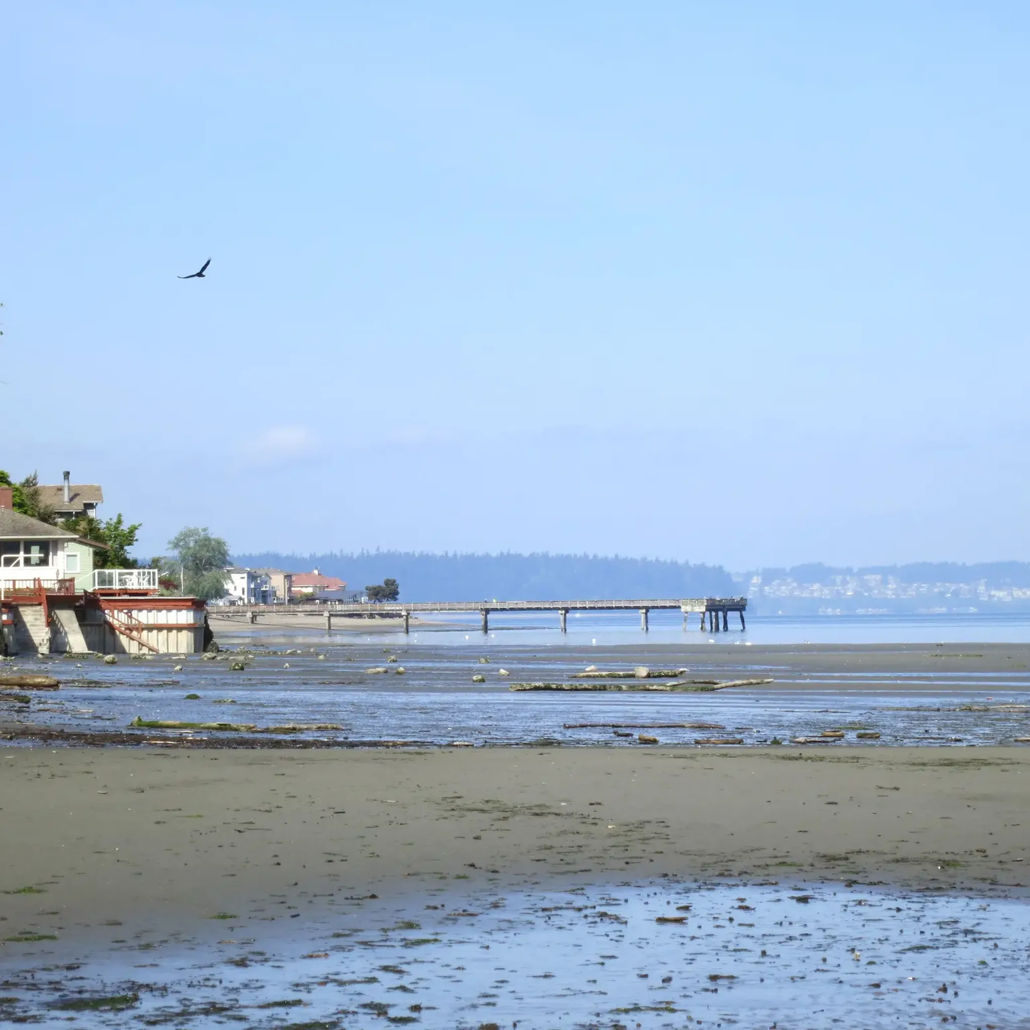
Dash Point State Park is a beautiful hidden oasis, offering miles of bike-friendly trails through its forested grounds. The Park is also a hot spot for water activities, and with over 3,300 feet of saltwater shoreline that boasts unobstructed views of Puget Sound, it's easy to understand why. There is a 461-acre campground, picnic tables, and day-use areas with restrooms and drinking water. As you pass, you may catch the aroma of a gourmet hot dog in the air from the Jonesin' For A Dog mobile stand, where you can grab a dog, a side and something to drink after your ride. Parking here requires a Discover Pass, the standard for all Washington State Parks. Alternatively, there are several transit stops available on the east side of the Park along Hoyt Road.
0
0
This is a nice vantage point of Yakima Hill, a quiet neighborhood on a slope with great views of Commencement Bay in Puget Sound.
0
0
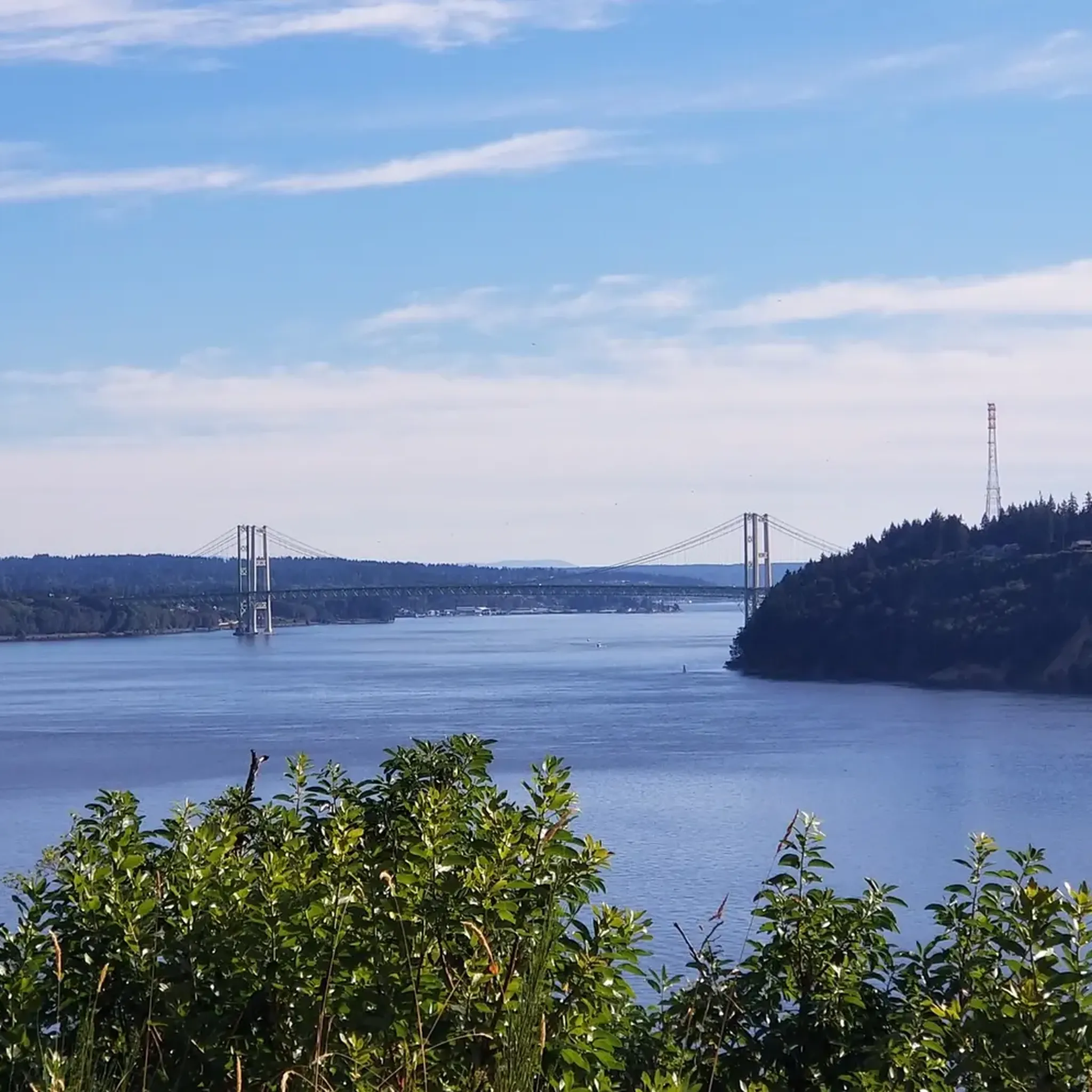
The Tacoma Narrows Bridge consists of two suspension bridges offering impressive views over the Puget Sound. It can be a breezy ride, especially in the fall and spring. Be alert when descending onto the bridge from the west side (Gig Harbor), as there is an entrance to the trail on the right-hand side near the bottom of the hill, and other cyclists entering the path may be unaware of others barreling down at them at high speeds. On the east side (Tacoma), use caution when crossing busy Jackson Street, as there have been several auto/bike accidents at the off-ramp.
1
0
Ruston Way Trail is an excellent multi-use paved trail connecting several small parks along the scenic waterfront. Be alert as you ride this path, as it is a popular route for pedestrians, runners and the occasional carriage.
0
0
The Scott Pierson Trail is a protected path, great for flat-out riding. It stretches between Tacoma and Gig Harbor, offering fantastic views of the Puget Sound as it crosses over the Tacoma Narrows Bridge.
0
0
Salmon Beach is a remote, unknown, and quirky neighborhood of 82 houses with 200 steps dividing it from the rest of the world. This special place was a gem for bootleggers in the 1920s and hippies in the late 1960s looking for seclusion. It is now home to many artists and those who enjoy solitude from the city limits.
0
0
Frequently Asked Questions
Are there dedicated paved road cycling trails within Dash Point State Park itself?
While Dash Point State Park features 8 miles of internal biking trails, these are primarily suited for mountain biking. For dedicated road cycling, the surrounding area offers more defined opportunities. Some internal walking paths might be suitable for road bikes with slick tires, but the main paved options are found outside the park boundaries.
What kind of scenery can I expect on road cycling routes near Dash Point State Park?
Road cycling routes in the Dash Point State Park area offer a diverse blend of scenery. You can expect picturesque Puget Sound views, lush forested areas, and connections to multi-use paths. Routes often incorporate sections along the shoreline and through wooded landscapes, providing a mix of natural beauty and urban connections.
What is the general difficulty level of road cycling routes in the Dash Point State Park area?
The Dash Point State Park area offers a range of road cycling routes suitable for various abilities. Out of 36 available routes, 11 are considered easy, 23 are moderate, and 2 are more difficult. This means you can find options from leisurely rides with moderate elevation changes to more challenging long-distance routes, such as the Kitsap Peninsula-Port Orchard & Manchester Loop.
Are there family-friendly road cycling options near Dash Point State Park?
Yes, the area around Dash Point State Park provides family-friendly road cycling options, particularly on paved multi-use paths like the BPA Trail. These trails offer a safer and more accessible environment for families to enjoy cycling together away from vehicle traffic. Many of the easier routes are suitable for a family outing.
Can I bring my dog on road cycling routes in the Dash Point State Park area?
Dash Point State Park itself is dog-friendly, with dogs allowed on trails and in campgrounds on a leash. When road cycling on multi-use paths or roads outside the park, policies may vary. Always ensure your dog is on a leash and that you adhere to local regulations regarding pets on trails and public spaces.
Where can I park when visiting Dash Point State Park for road cycling?
Dash Point State Park offers parking facilities for visitors. A Discover Pass is required for vehicle access to state parks for day use. You can purchase a pass online or at the park. For specific parking areas, it's best to consult the park's official website or signage upon arrival.
How can I reach Dash Point State Park using public transport for a road cycling trip?
Public transport options to Dash Point State Park are available, primarily through local bus services that connect to the Federal Way area. While direct access to the park entrance via public transport might require a short ride or walk, major routes will get you close. Check local transit authority websites for the nearest bus stops and schedules.
What do other road cyclists enjoy the most about road cycling in Dash Point State Park?
The road cycling routes in the Dash Point State Park area are highly rated by the komoot community, with an average score of 4.8 stars from over 20 reviews. Cyclists often praise the varied scenery, including Puget Sound views and forested sections, and the accessibility of multi-use paths. The Dash Point loop is a popular choice for its diverse landscapes.
Are there any notable landmarks or attractions accessible by road bike near Dash Point State Park?
Yes, several attractions are accessible by road bike in the vicinity. The Redondo Beach Boardwalk loop from Dash Point State Park connects you to the scenic Redondo Beach Boardwalk. Additionally, routes like the Point Defiance and Ruston Way Loop lead through coastal areas and urban parks, offering views and points of interest along the way.
What is the best time of year for road biking around Dash Point State Park?
The best time for road biking around Dash Point State Park is generally from spring through fall, when the weather is milder and rainfall is less frequent. Summer offers the warmest temperatures and longest daylight hours, ideal for exploring. However, the region's temperate climate allows for cycling year-round, though winter rides may require appropriate gear for cooler, wetter conditions.
Are there any long-distance road cycling routes originating from or passing through the Dash Point State Park area?
Yes, for those seeking longer rides, the Dash Point State Park area serves as a starting point or connection to more extensive routes. For example, the Vashon Ride loop offers a challenging 76.9 km (47.8 miles) journey with significant elevation gain, providing a full day's adventure for experienced cyclists.
What types of road surfaces can I expect on routes in the Dash Point State Park area?
Road cycling routes in this area primarily feature paved surfaces. This includes well-maintained roads immediately outside the park, some with bike lanes or varying shoulder widths, and dedicated multi-use paths like the BPA Trail. While internal park trails are mostly unpaved, the focus for road cycling is on smooth, hard surfaces.
Most popular routes in Dash Point State Park

Get inspired with the komoot mobile app


Explore more
Browse the best Road cycling routes in other regions.
