The best running trails in Heart Creek Provincial Recreation Area
35
runners
4
runs
Jogging in Heart Creek Provincial Recreation Area offers trails through a scenic canyon beneath Heart Mountain, characterized by large evergreen trees and boulders. The area features Heart Creek itself, with its cool, spring-fed waters, and geological formations carved into the valley walls. The terrain includes relatively flat paths suitable for easy runs, as well as more challenging routes with significant elevation changes. This region provides a diverse landscape for runners of varying abilities.
Best jogging routes in Heart Creek Provincial…
Last updated: September 30, 2026
27
runners
10.7km
02:09
890m
890m
Hard run. Very good fitness required. Mostly paved surfaces. Suitable for all skill levels.
4
runners
8.43km
01:21
480m
480m
Hard run. Very good fitness required. Mostly paved surfaces. Suitable for all skill levels.

2
runners
8.94km
01:48
730m
730m
Hard run. Very good fitness required. Mostly paved surfaces. Suitable for all skill levels.
2
runners
Easy run. Great for any fitness level. Mostly paved surfaces. Suitable for all skill levels.
Our route recommendations are based on thousands of hikes, rides, and runs completed by other people on komoot.
Start today with a free account
Your next adventure awaits.
Popular around Heart Creek Provincial Recreation Area
Tips from the Community

Set right beside the Bow River with Door Jamb Mountain and Loder Peak rising sharply across the water, this riverside picnic area is one of the most scenic rest spots in the valley. A row of wooden tables sits on open grass just steps from the shoreline, offering an easy place to pause before or after exploring the nearby trails. With parking, restrooms, and a water fountain close by, it’s a convenient and peaceful stop to take in the mountain views, listen to the river, or enjoy a quiet lunch with the peaks in full sight.
0
0
This easy riverside path follows the shores of the Bow River, offering steady views of flowing water, cottonwoods, and wide gravel bars. As the trail opens toward the valley, you’ll catch a clear sightline to Mount Yamnuska, its dramatic east face rising sharply above the foothills. It’s a relaxed, scenic stretch ideal for walkers looking to enjoy the river corridor with one of Kananaskis’ most iconic peaks in the background.
0
0
Middle Lake is a calm, shallow lake surrounded by open forest and grassy meadows, offering a quiet contrast to the nearby river and mountain viewpoints. The loop trail around the shoreline is flat and easy, with several spots to step out onto the lakeside and enjoy reflections of the surrounding pines and foothills. It’s a peaceful place for birdwatching, photography, or a short break before continuing along the park’s interconnected trail network.
0
0
The Exshaw Mountain Trail begins just outside the town of Exshaw and quickly climbs through dense forest before opening onto rocky slopes with expanding valley views. The route is steep and often faint, requiring some route-finding as you gain elevation toward the summit ridge. Though demanding, the climb rewards hikers with panoramic views of the Bow Valley, Mount Lougheed, and the rugged peaks surrounding Canmore.
0
0
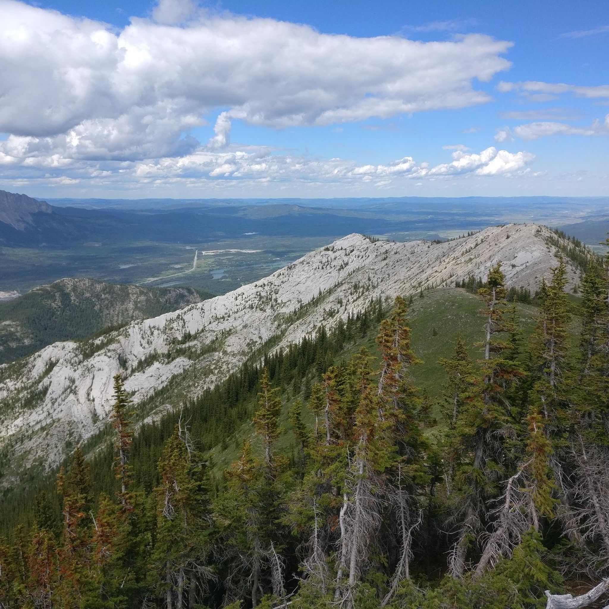
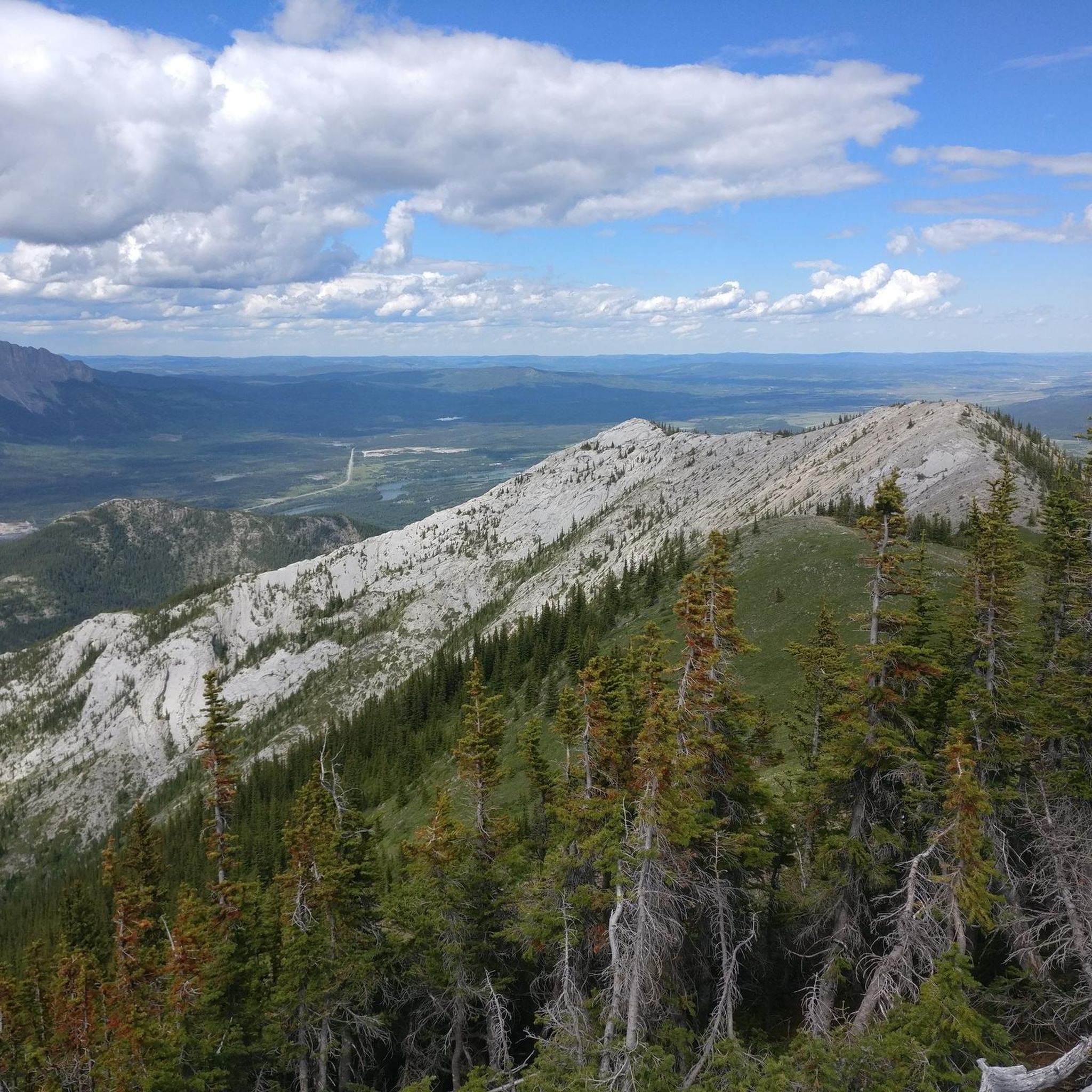
Exshaw Mountain rises above the Bow Valley near the town of Exshaw, Alberta, offering a steep but rewarding hike with sweeping views of the surrounding Rockies. The route climbs through forested slopes before breaking into open scree and grassy ridges that look out toward Mount Yamnuska, Grotto Mountain, and the Bow River below. It’s a challenging, lightly trafficked ascent best suited for experienced hikers comfortable with off-trail navigation and steep terrain.
0
0
Flowing through a narrow limestone canyon, Heart Creek is the centrepiece of Heart Creek Provincial Recreation Area. It was named after the nearby Heart Mountain, which features a distinctive heart-shaped layer of limestone visible near its summit.
0
0
A steep and demanding route leading to the summit of Heart Mountain, this trail climbs quickly from the Heart Creek area through forest and rocky slopes. The path transitions into a scramble near the upper ridge, where hands-on climbing is required in spots. It’s a popular but challenging hike — bring plenty of water, start early, and be prepared for loose rock and strong winds near the top.
0
0
Rising above Heart Creek Provincial Recreation Area, Heart Mountain (2,135 metres) offers a steep but rewarding climb with panoramic views of the Bow Valley and surrounding peaks. The route includes sections of hands-on scrambling near the summit and is best suited for experienced hikers with good footing. Clear weather brings stunning vistas across to Mount Yamnuska and the front ranges of the Rockies.
0
0
Frequently Asked Questions
What types of running trails can I find in Heart Creek Provincial Recreation Area?
Heart Creek Provincial Recreation Area offers a diverse range of running trails. You'll find relatively flat, easy paths suitable for leisurely jogs, as well as more challenging routes with significant elevation changes for experienced trail runners. The landscape includes scenic canyon paths, forested sections, and mountain ascents.
Are there any easy or beginner-friendly jogging routes in the area?
Yes, for an easy and beginner-friendly run, consider the Middle Lake – Bow River Trail – View of Mount Yamnuska loop from Bow Valley Provincial Park. This 4.9 km (3.0 miles) path has minimal elevation gain and offers pleasant views of Mount Yamnuska, making it ideal for a relaxed jog.
Where can I find more challenging trail running options?
For those seeking a more strenuous workout, the area provides several difficult routes. The Heart Mountain – Grant MacEwan Peak loop from Lac des Arcs is a demanding 10.7 km (6.7 miles) path with substantial elevation gain, leading through mountainous terrain. Another challenging option is the Exshaw Mountain loop from Lac des Arcs, an 8.4 km (5.2 miles) trail through varied mountain landscapes.
Are there any loop trails for running in Heart Creek Provincial Recreation Area?
Yes, several routes are designed as loops. The easy Middle Lake – Bow River Trail – View of Mount Yamnuska loop is a great option. For more advanced runners, the Heart Mountain – Grant MacEwan Peak loop and the Door Jamb Mountain – Loder Peak loop from Door Jamb Mountain both offer challenging circular routes with significant elevation.
What scenic features or landmarks can I expect to see while jogging?
Jogging in the area offers beautiful scenery, including a canyon beneath Heart Mountain, large evergreen trees, and boulders. The Heart Creek Trail itself features numerous charming wooden bridges and culminates at a picturesque waterfall. You can also observe geological formations, such as caves carved into the steep valley walls.
Is Heart Creek Provincial Recreation Area suitable for family-friendly runs?
Absolutely. The main Heart Creek Trail is an easy 3 km (round trip) path known for its gentle surface and minimal elevation, making it suitable for all skill levels and a great option for a family outing or a leisurely jog. The numerous wooden bridges and the waterfall at the end add to the family-friendly appeal.
What are the conditions like for winter jogging in Heart Creek Provincial Recreation Area?
The area experiences warm chinook winds in winter, which can offer breaks from colder weather. However, trail conditions can vary significantly with snow and ice. It's always recommended to check local trail reports and be prepared with appropriate winter running gear, such as traction devices for your shoes, if you plan to jog during the colder months.
Are dogs allowed on the jogging routes?
While the guide doesn't specify dog-friendly routes, provincial recreation areas in Alberta generally allow dogs on trails, provided they are kept on a leash. It's always best to check the specific regulations for Heart Creek Provincial Recreation Area before heading out with your canine companion to ensure a pleasant experience for everyone.
What is the best time of year to go jogging in this region?
The area is enjoyable throughout much of the year. Spring, summer, and fall offer pleasant conditions for jogging, with lush scenery and comfortable temperatures. Even winter can be an option, thanks to occasional chinook winds, but be prepared for snow and ice. Always check weather and trail conditions before your run.
How many runners have explored the trails in Heart Creek Provincial Recreation Area using komoot?
More than 50 runners have already used komoot to explore the varied terrain and jogging routes within Heart Creek Provincial Recreation Area, indicating its popularity among the running community.
What is the longest running route available in the guide?
The longest running route featured in this guide is the Mount Allan loop from Bow Valley Wildland Provincial Park. This challenging path spans 22.4 km (13.9 miles) and involves significant elevation gain, making it suitable for experienced long-distance trail runners.
Most popular routes in Heart Creek Provincial Recreation Area

Get inspired with the komoot mobile app


Explore more
Browse the best Running Trails & Routes in other regions.
