The best walks and hikes around Iggensbach
4.5
(154)
190
hikers
23
hikes
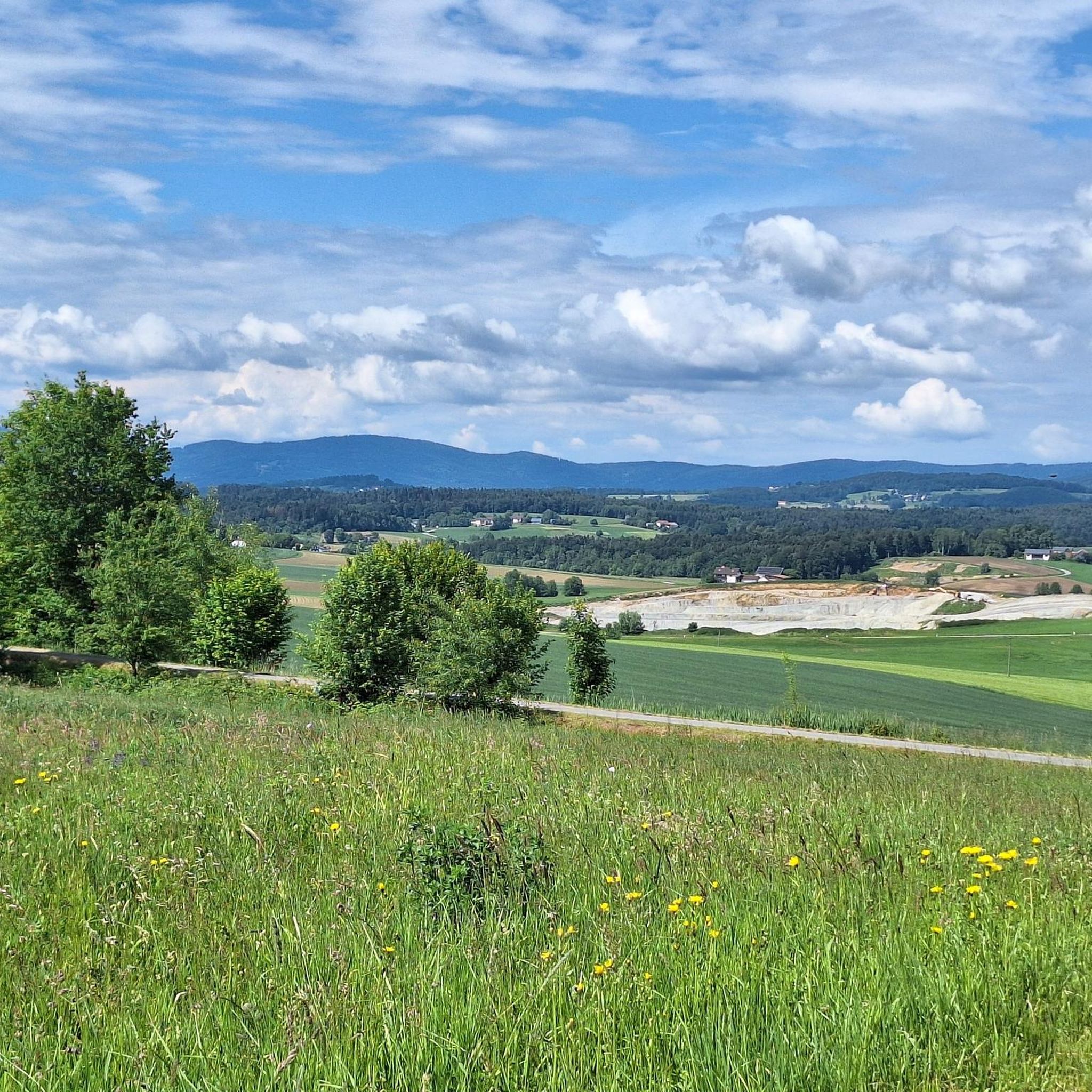
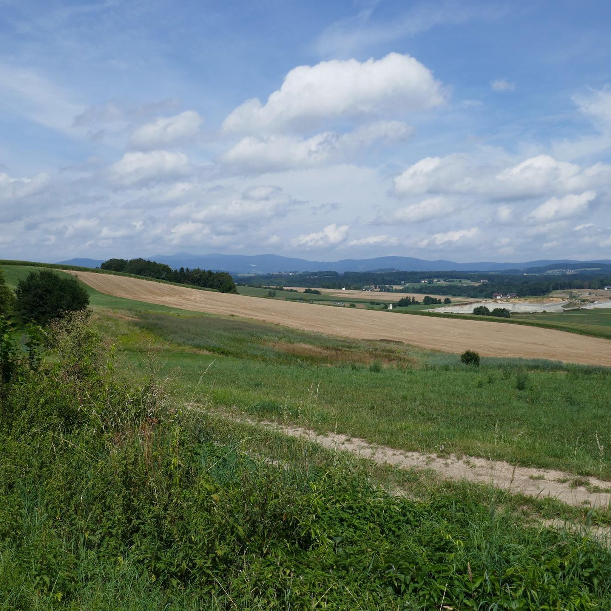
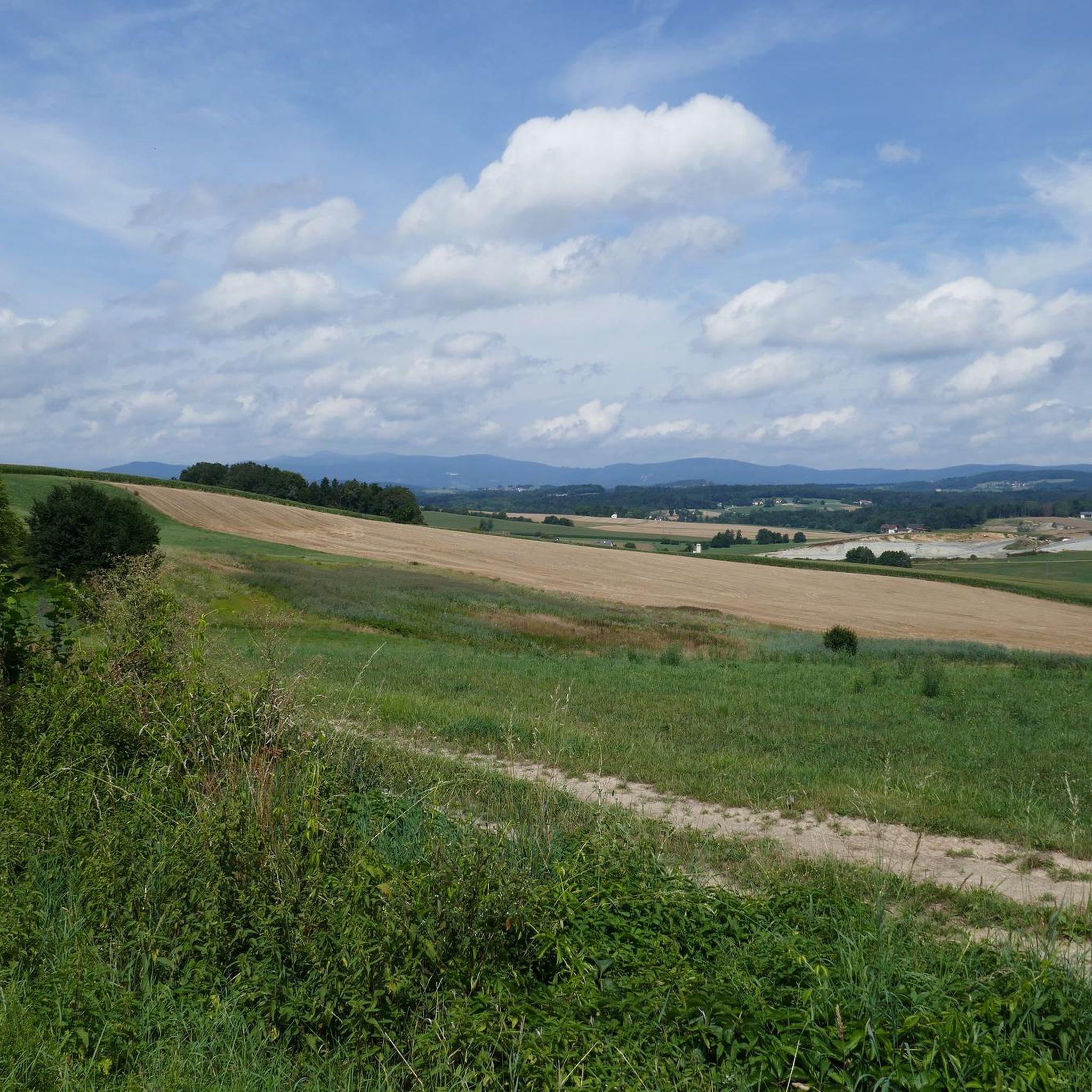
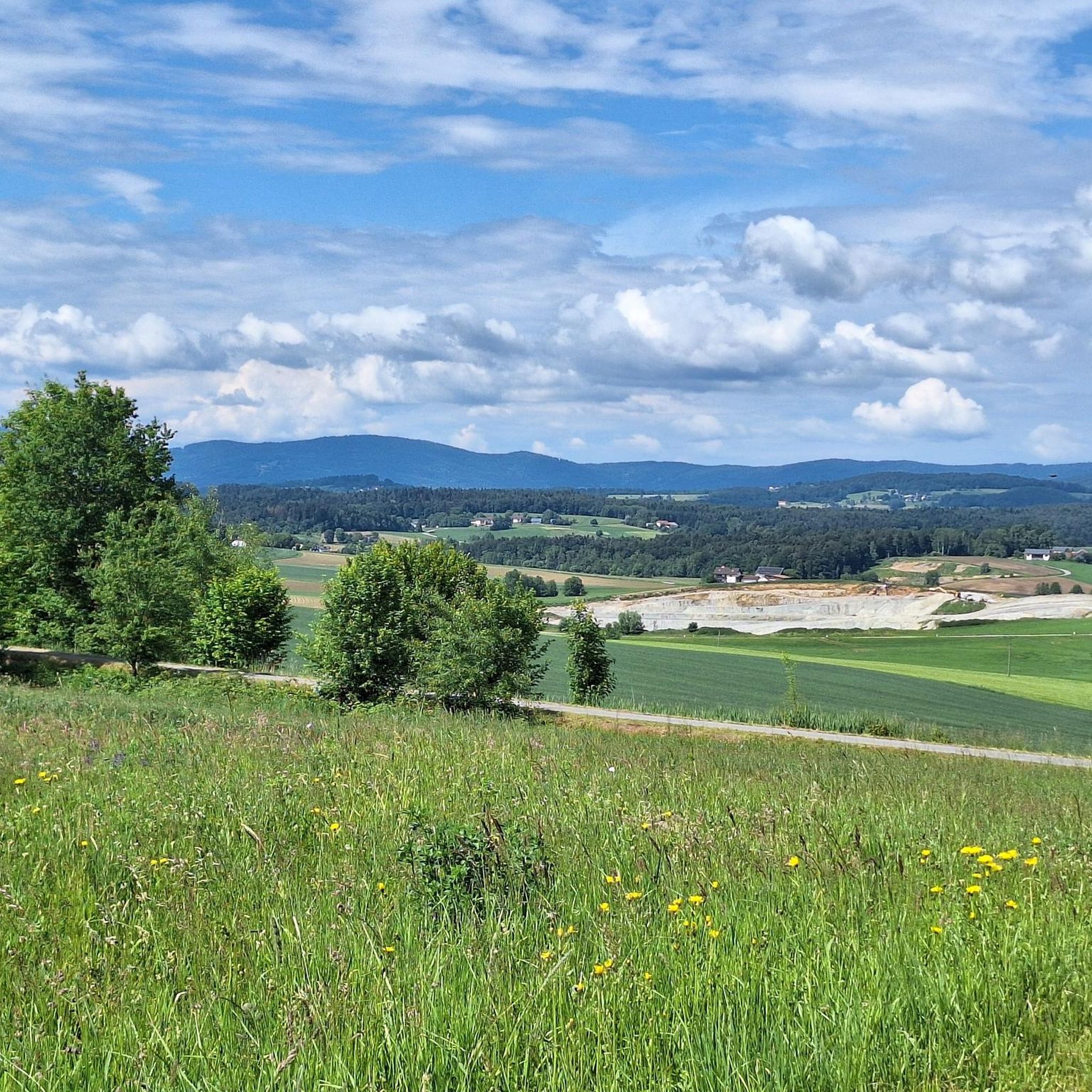
Hiking around Iggensbach offers access to the edge of the Bavarian Forest, providing a diverse landscape for outdoor activities. The region is characterized by picturesque scenery, including forests and hills, with the Kleine Ohe River flowing through the municipality. This varied terrain supports a range of hiking experiences, from gentle paths to more demanding ascents.
Best hiking trails around Iggensbach
- The most popular hiking route is Pond at Schuttholz loop from Iggensbach, a 2.8 miles (4.5 km) trail that…
Last updated: September 30, 2026
4.4
(5)
14
hikers
4.47km
01:14
70m
70m
Easy hike. Great for any fitness level. Easily-accessible paths. Suitable for all skill levels.
4.0
(6)
17
hikers
6.41km
01:48
140m
140m
Easy hike. Great for any fitness level. Easily-accessible paths. Suitable for all skill levels.

4.0
(6)
16
hikers
Easy hike. Great for any fitness level. Easily-accessible paths. Suitable for all skill levels.
4.0
(4)
20
hikers
Easy hike. Great for any fitness level. Easily-accessible paths. Suitable for all skill levels.
5.0
(6)
14
hikers
6.53km
01:51
140m
140m
Easy hike. Great for any fitness level. Easily-accessible paths. Suitable for all skill levels.
Get access to more routes and recommendations from other explorers.
Already have an account?
Our route recommendations are based on thousands of hikes, rides, and runs completed by other people on komoot.
Start today with a free account
Your next adventure awaits.
Tips from the Community

Ohetal is always worth a detour
0
0

In the middle of the idyllic landscape, gigantic concrete pillars rise to great heights (up to 99 meters) to support the highway. Impressive! It's worth taking a few minutes to admire the structure, which was built in 1978.
0
0

When you stand under it you feel queasy
1
0
Nice little bridge over the Ohe
0
0
Very narrow bridge, cyclists should be careful when crossing.
0
0
The Ohetal cycle path is always worth recommending
1
0

Very nice and well-maintained cycle path
0
0
Frequently Asked Questions
How many hiking trails are available around Iggensbach?
There are over 20 hiking trails around Iggensbach, offering a diverse range of experiences for different skill levels. The komoot community has explored these routes over 180 times, giving them an average rating of 4.4 stars.
What kind of terrain can I expect on hikes in Iggensbach?
The terrain around Iggensbach is quite varied, ranging from gentle paths along the Kleine Ohe River to more demanding ascents through forests and hills. You'll find picturesque scenery, including idyllic settings and diverse natural features, with options for both leisurely strolls and more challenging tours.
Are there easy hiking trails suitable for beginners or leisurely strolls?
Yes, Iggensbach offers many easy hiking trails. For example, the Pond at Schuttholz loop from Iggensbach is an easy 2.8-mile (4.5 km) route that explores local woodlands. Another gentle option is the Kleine Ohe – Under the Mighty A3 Bridge loop from Kopfsberg, an easy 4.0-mile (6.4 km) path following the river.
What are some notable landmarks or viewpoints I can discover while hiking?
Iggensbach is close to several impressive landmarks and viewpoints. You can hike to the Brotjacklriegel Summit and Observation Tower, which offers breathtaking panoramic views of the Bavarian-Bohemian Border Ridge and the Danube plain. Another rewarding destination is the Großer Büchelstein summit cross and panoramic view, known for its extensive views throughout all seasons.
Are there any circular hiking routes in the area?
Yes, many of the trails around Iggensbach are circular routes. Popular options include the Kleine Ohe – Under the Mighty A3 Bridge loop from Schöllnstein, which takes you through river valleys, or the Ohetal Cycle Path – Bücherbaum Iggensbach loop from Restaurant - Pension Weihermühle Wohnmobilstellplatz, offering a pleasant walk along the Ohetal Cycle Path.
What is the best time of year to go hiking in Iggensbach?
Iggensbach is an excellent hiking destination throughout much of the year. The diverse landscapes, including forests and hills, make it appealing in spring and autumn for vibrant colors, and in summer for lush greenery. The panoramic views from summits like Brotjacklriegel are particularly stunning on clear days, which can occur in any season.
Are there any family-friendly hiking options in Iggensbach?
Yes, the region offers several family-friendly trails, especially the easier routes. The Pond at Schuttholz loop from Iggensbach is a relatively short and easy walk through woodlands, suitable for families. The serene settings along the Kleine Ohe River also provide pleasant and accessible paths for all ages.
Can I bring my dog on the hiking trails in Iggensbach?
Many trails in the Iggensbach area are suitable for dogs, allowing you to enjoy the natural beauty with your canine companion. It's always recommended to keep dogs on a leash, especially in forested areas or near wildlife, and to check for any specific local regulations on individual routes.
Are there any lakes or water features to see on the hikes?
Yes, the Kleine Ohe River flows through the municipality, offering serene natural settings along many trails. Additionally, you can find several lakes and water features nearby, such as Sattlinger Pond and the Kollnbergmühle Watermill and Pond, which can be incorporated into your hiking plans.
What is the most challenging hike available in Iggensbach?
While Iggensbach offers many easy and moderate routes, there is at least one difficult trail for those seeking a greater challenge. These more demanding routes typically involve steeper ascents and longer distances, often leading to panoramic viewpoints within the varied terrain of the Bavarian Forest foothills.
What do other hikers enjoy most about hiking in Iggensbach?
The area is highly rated by the komoot community, with an average score of 4.4 stars from over 100 reviews. Reviewers often praise the diverse and picturesque scenery, the tranquility of the natural settings, and the variety of trails that cater to different fitness levels, from gentle river walks to rewarding summit climbs.
Are there any longer, moderate hikes for experienced hikers?
Yes, for those looking for a longer, moderate challenge, the Kleine Ohe – Under the Mighty A3 Bridge loop from Iggensbach is a great option. This route covers 6.2 miles (9.9 km) with a moderate difficulty, taking you through varied landscapes along the Kleine Ohe River.
Most popular routes around Iggensbach
Most popular attractions around Iggensbach

Get inspired with the komoot mobile app


Explore more
Browse the best Hikes in other regions.
