The best road cycling routes in Pisgah State Park
76
riders
18
rides
Road cycling in Pisgah State Park features routes through expansive forested areas and rolling hills. The park's terrain includes a mix of hardwood and conifer forests, with protected streams and wetlands. While some routes utilize multi-use trails and woods roads, the surrounding area offers options that combine paved and unpaved surfaces, providing varied cycling experiences.
Best road cycling routes in Pisgah State Park
- The most popular road cycling route is Kilburn Trailhead – Sawyer Pond loop from Bear Mountain State Forest, a 39.2 miles (63.1 km) trail that takes 3 hours 7 minutes to complete, traversing varied terrain.
- Another top favourite among local road cyclists is Stonewall Farm loop from Spofford, a moderate 24.9 miles (40.0 km) path that offers views of the surrounding rural landscape.
- Local road cyclists also love the West River overlook – Newfane Store loop from Brattleboro, a 58.6 miles (94.3 km) trail leading through diverse scenery, often completed in about 4 hours 16 minutes.
- Road cycling in Pisgah State Park is defined by rough forested areas, rolling hills, and multi-use trails. The network offers options for different ability levels, including routes with mixed paved and unpaved surfaces.
- The routes in Pisgah State Park are highly rated by the komoot community with an average score of 3.0 stars from 1 review. More than 70 road cyclists have used komoot to explore Pisgah State Park's varied terrain.
Last updated: August 22, 2026
14
riders
63.1km
03:07
660m
660m
Moderate road ride. Good fitness required. Some segments of this route may be unpaved and difficult to ride.
4
riders
40.0km
02:04
490m
490m
Moderate road ride. Good fitness required. Some segments of this route may be unpaved and difficult to ride.

Sign up for free
8
riders
94.3km
04:16
960m
960m
Hard road ride. Very good fitness required. Some segments of this route may be unpaved and difficult to ride.
9
riders
58.5km
02:31
450m
450m
Moderate road ride. Good fitness required. Mostly well-paved surfaces and easy to ride.
7
riders
55.5km
02:31
590m
590m
Moderate road ride. Good fitness required. Some segments of this route may be unpaved and difficult to ride.
Get access to more routes and recommendations from other explorers.
Sign up for free
Already have an account?
Our route recommendations are based on thousands of hikes, rides, and runs completed by other people on komoot.
Start today with a free account
Your next adventure awaits.
Login or Signup
Popular around Pisgah State Park
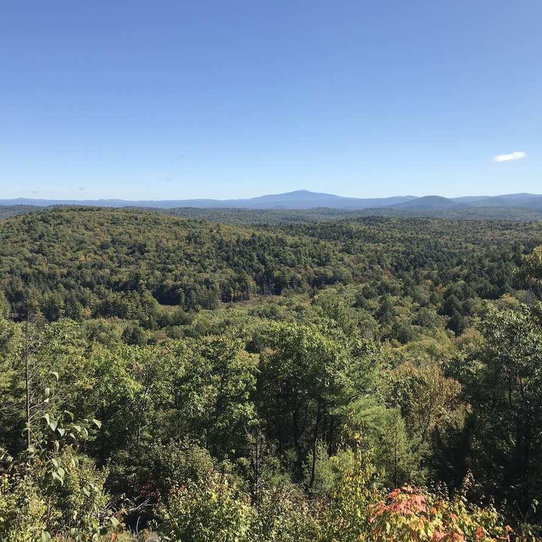
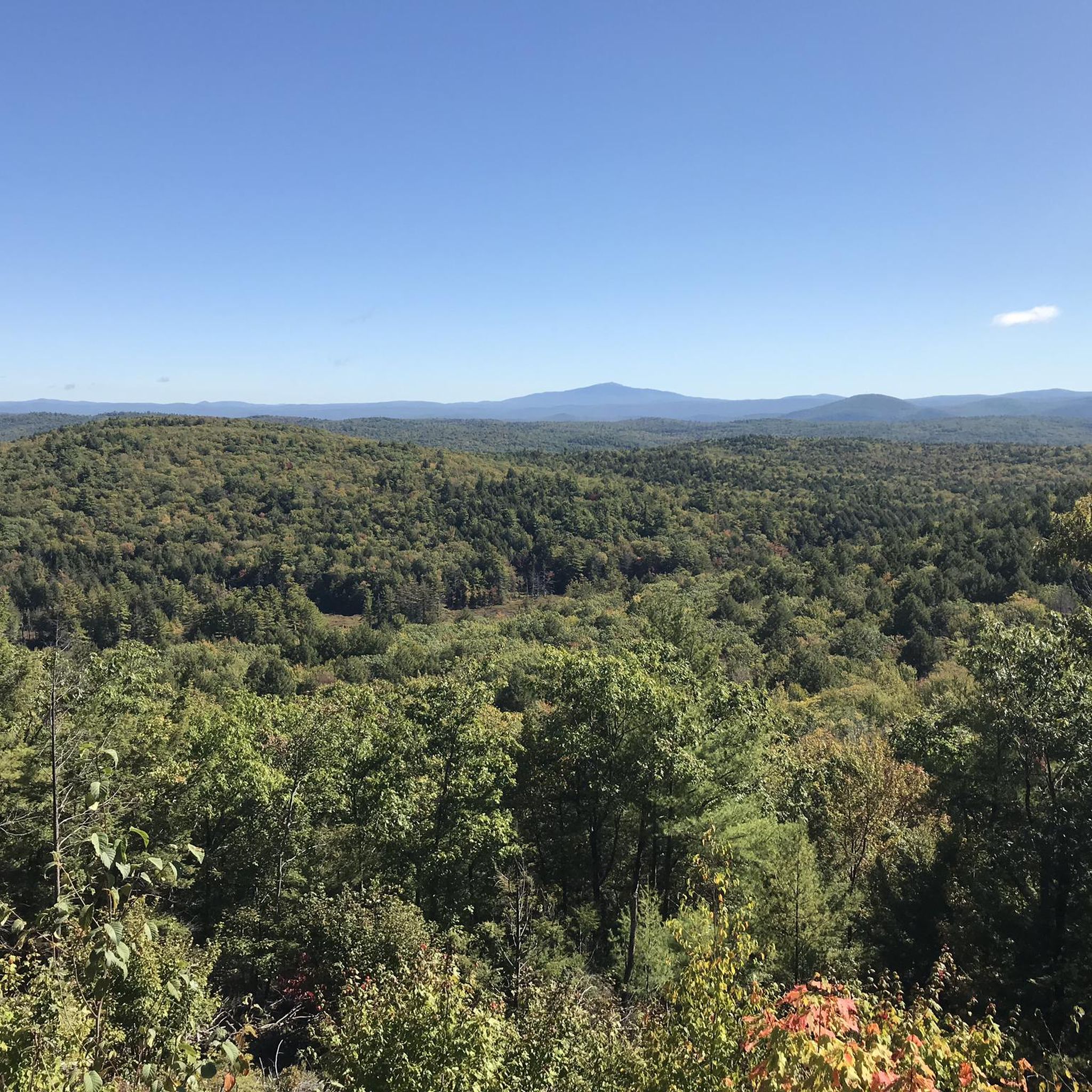

Tips from the Community

A place of tranquility. Weatherhead Hollow pond is the ideal place to relax yourself and embrace some of the nature finest gifts: the soothing of the mind with smooth sound. The pond has a parking on the south end, which allows you to bring your non-motor sailing vehicle and float on its waters.
0
0
A place of tranquility. Weatherhead Hollow pond is the ideal place to relax yourself and embrace some of nature's finest gifts: the soothing of the mind with smooth sound. The pond has parking on the south end, which allows you to bring your non-motor sailing vehicle and float on its waters. The views of the mountains and the forest are the ones you desire to find on your probably chilled bike touring adventure. Don't miss the opportunity to immortalize the scene.
0
0
Feel yourself hovering over Sawyer Pond as you fly on Old Vernon Road. The brown fallen leaves of autumn make this place picture-worthy.
0
0

Sawyer Pond lies on both sides of Old Vernon Road. This is a pretty spot to ride by because you are surrounded by water on both sides.
0
0

Cushman Park, being right next to the Darwin Scott Wildlife Management Area, provides a green space for the public to enjoy. The park was donated back in 1908, and the adjacent Darwin Scott Wildlife Management Area provides 27.92 acres of explorable space. Cushman Park is an important part of the community, with local events and art displays happening here quite often.
0
0

Stonewall Farm is a nonprofit working farm located on more than 120-acres of pasture, wetlands, woods, and trails. It's open every day, year round and it's free of charge.
0
0

Trailhead with parking that lets you choose whether to take the paths that bring you east to Pisgah State Forest or west to Daniels Mountain. In the high season it can get busy, so make sure to get there early to get a parking spot.
0
0

The Native Americans of the region used to call the West River "Wantastiquet" which means "waters of the lonely way”. The Wantastiquet Trail is connected to both the mountains and the West River. This path was an important link that connected Fort Drumner and the Green Mountains.
0
0
Frequently Asked Questions
How many road cycling routes are available in Pisgah State Park?
There are 15 road cycling routes available in Pisgah State Park and the surrounding area, offering a diverse range of experiences for cyclists.
What is the typical terrain like for road cycling in Pisgah State Park?
The terrain for road cycling in and around Pisgah State Park is characterized by rough forested areas, rolling hills, and a mix of hardwood and conifer forests. While some routes utilize multi-use trails and woods roads, many routes in the surrounding area feature a mix of paved and unpaved surfaces. Cyclists should be prepared for varied conditions.
Are there options for different skill levels among the road cycling routes?
Yes, the routes cater to various skill levels. While most are considered moderate, there is at least one difficult route for experienced riders, such as the West River overlook – Newfane Store loop from Brattleboro, which covers 58.6 miles with significant elevation changes.
What natural features or landmarks can I see while road cycling in Pisgah State Park?
Pisgah State Park is rich in natural beauty. You can expect to see protected streams, ponds, and wetlands, as the park is a watershed for the Ashuelot River. The Pisgah Reservoir is a prominent feature, and you might also encounter historic stone chambers and cellar holes. While cycling, you can also explore areas near the Hubbard Hill Trail or the Lily Pond Trail.
Where can I park when visiting Pisgah State Park for road cycling?
Parking is available at various access points. For example, the Horseshoe Road Trailhead is a designated parking area within the park that provides access to trails suitable for cycling.
Are there any loop road cycling routes in the area?
Yes, many of the road cycling routes in and around Pisgah State Park are loops. For instance, the Weatherhead Hollow Pond – Cushman Park loop from Brattleboro offers a 34.6-mile ride through varied scenery.
What do other road cyclists say about their experience in Pisgah State Park?
The road cycling routes in Pisgah State Park are highly rated by the komoot community, with an average score of 3.0 stars. Cyclists often appreciate the expansive forested areas, rolling hills, and the sense of wilderness the park provides.
Are there family-friendly road cycling options in Pisgah State Park?
While many routes involve mixed terrain and some elevation, there are options that might be suitable for families depending on their experience. Routes that utilize multi-use trails or woods roads, especially those with 'mostly well-paved surfaces and easy to ride' sections mentioned in the region research, could be considered. Always check the route details for distance and elevation before heading out with family.
What should I bring for a road cycling trip in Pisgah State Park?
Given the varied terrain, including potentially unpaved sections, it's advisable to bring a road bike capable of handling mixed surfaces, or a gravel bike for more comfort. Essential gear includes a helmet, water, snacks, a repair kit, and navigation tools. Due to the park's remote feel, carrying a first-aid kit and being prepared for changing weather conditions is also recommended.
Are there routes that offer a mix of paved and unpaved surfaces?
Yes, many road cycling routes in the Pisgah State Park area feature a combination of paved and unpaved surfaces. While some sections might be well-paved, others may include woods roads or multi-use trails that are unpaved, offering a diverse cycling experience.
What is a good moderate-difficulty road cycling route to explore?
A good moderate-difficulty option is the Roadbike loop from Brattleboro. This route covers 17.1 miles with a moderate elevation gain, making it a suitable choice for cyclists looking for a balanced challenge.
Most popular attractions in Pisgah State Park

Get inspired with the komoot mobile app


Explore more
Browse the best Road cycling routes in other regions.
