The best cycling routes in Crawford Notch State Park
5.0
(1)
18
riders
4
rides
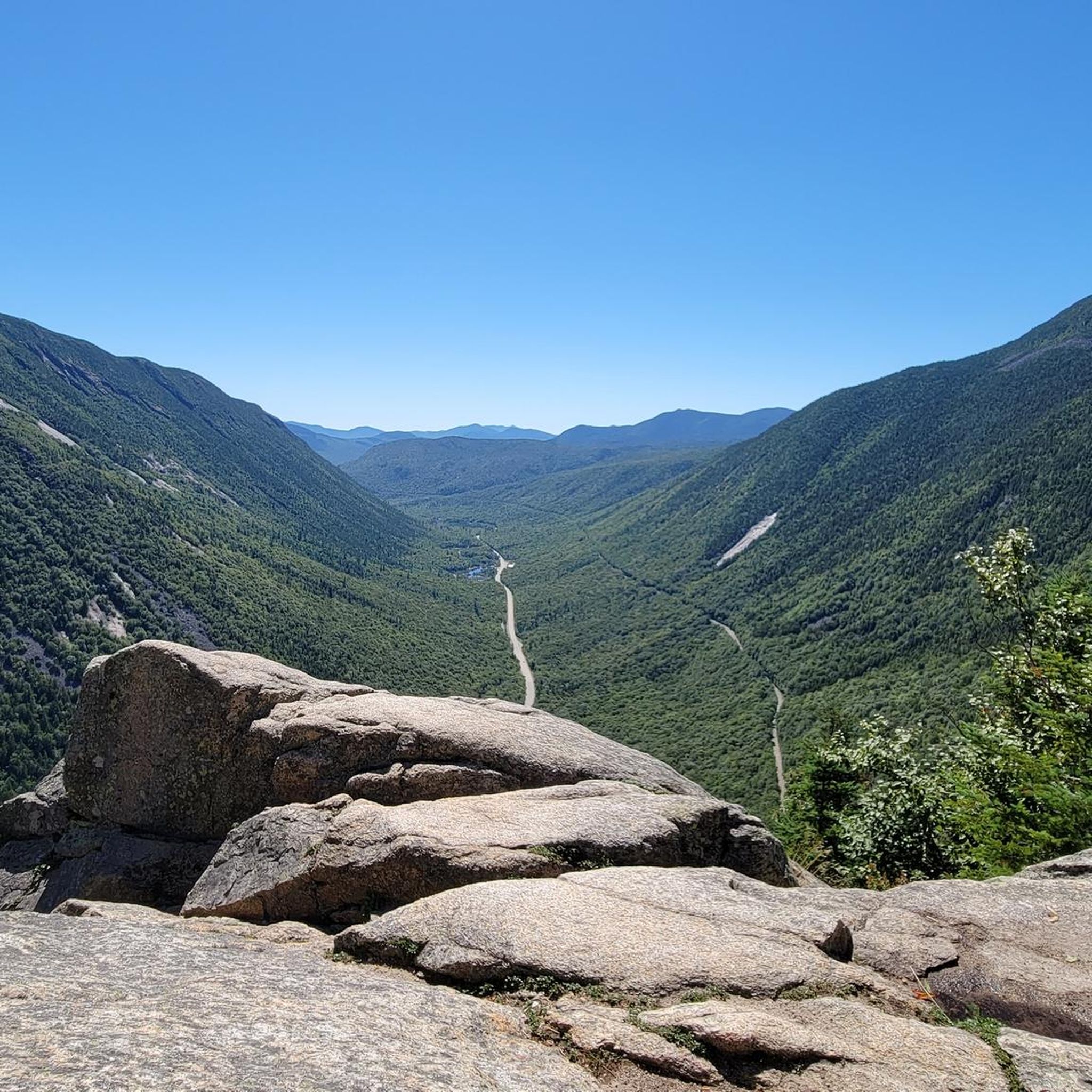
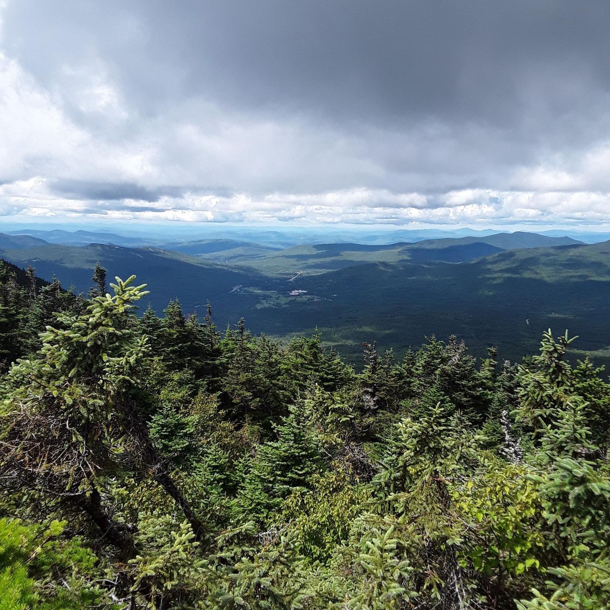
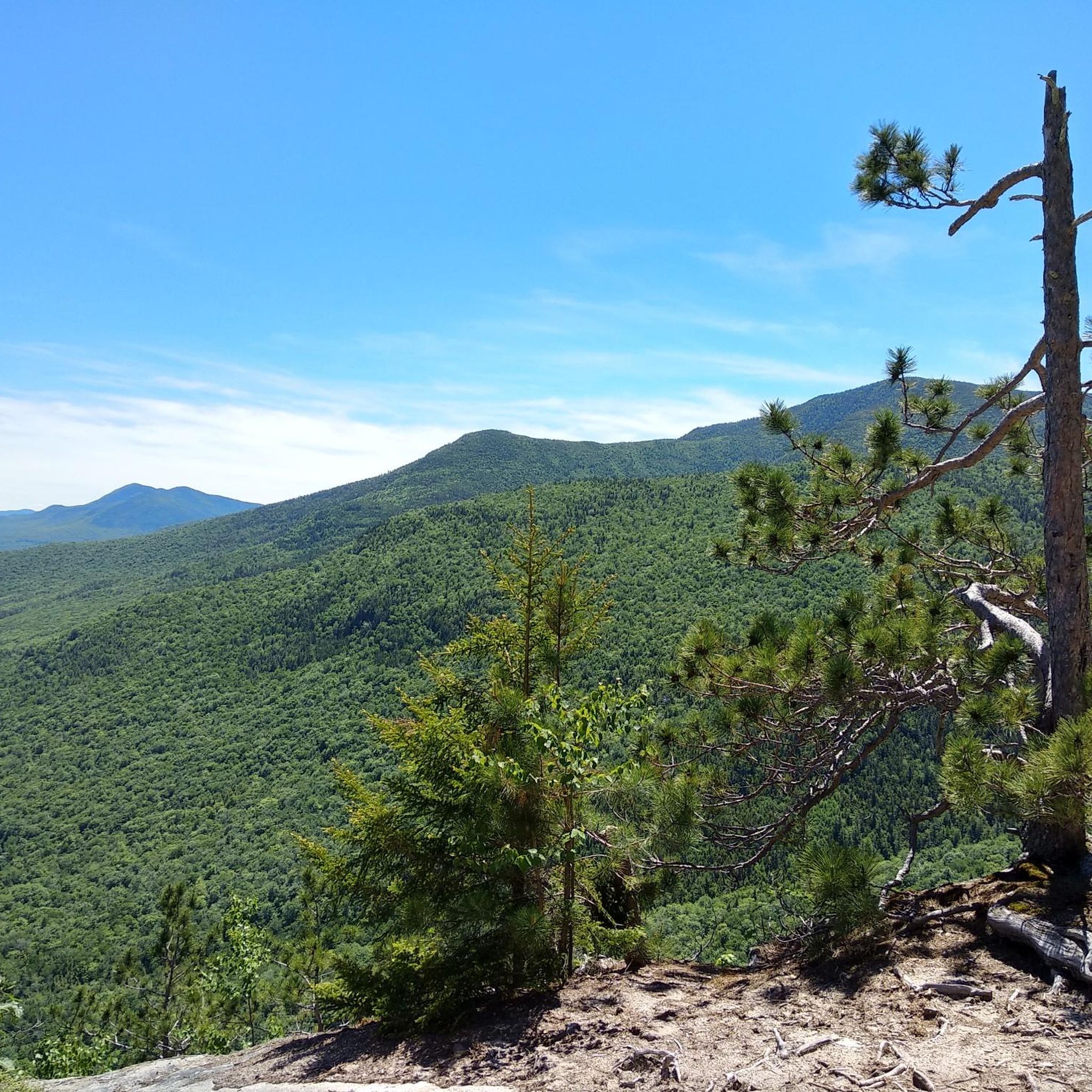
Touring cycling in Crawford Notch State Park offers routes through a dramatic mountain pass nestled within New Hampshire's White Mountains. The park features craggy peaks, dense pine forests, and scenic roads that traverse valleys and alongside natural features. This region provides varied terrain for cyclists, from gradual climbs to more challenging ascents. The landscape is characterized by its mountainous environment and extensive woodlands.
Best touring cycling routes in Crawford Notch State Park
- The most popular touring cycling route is Base…
Last updated: October 2, 2026
3
riders
25.3km
01:42
400m
400m
Embark on a moderate touring cycling adventure through the scenic White Mountain National Forest with the Base Station Road & Mount Clinton Road loop. This route covers 15.7 miles (25.3…
1
riders
88.9km
05:46
1,110m
1,110m
Embark on a challenging touring bicycle journey through the White Mountain National Forest with the Jackson Falls & Dundee Road loop. This difficult route stretches for 55.2 miles (88.9 km),…

2
riders
23.6km
01:29
250m
240m
Moderate bike ride. Good fitness required. Mostly paved surfaces. Suitable for all skill levels.
5.0
(1)
12
riders
43.6km
03:58
810m
810m
Embark on a memorable gravel cycling journey through the White Mountain National Forest with the Old Cherry Mountain Road, Valley Road, & Jefferson Notch Road gravel loop. This difficult 27.1-mile…
2.58km
00:10
30m
30m
The Lower Falls Trail offers a delightful touring cycling experience, winding alongside the scenic Frankstown Branch of the Juniata River. You'll ride on a well-maintained, hard-packed rolled crushed limestone surface,…
Our route recommendations are based on thousands of hikes, rides, and runs completed by other people on komoot.
Start today with a free account
Your next adventure awaits.
Popular around Crawford Notch State Park
Tips from the Community

Jackson Falls is a cool set of cascades on the Wildcat River. You can see the falls from the side of the road both above and below the cascades.
0
0
The bottom of the Mount Washington Cog Railway is also known as Marshfield Station. This marked the end of the paved road and the start of some rough singletrack trails. It's uphill all the way to the station, so it's a fast downhill when you leave.
0
0
The bottom of the Mount Washington Cog Railway is also known as Marshfield Station. This marked the end of the paved road and the start of some rough singletrack trails. It's uphill all the way to the station, so it's a fast downhill when you leave.
0
0

Iconic spot inside the White Mountains National Forest. The climb up here is pretty cool, especially during the summer time where you'll enjoy and appreciate the forest's shade!
0
0
From pavement to gravel to dirt, Old Cherry Mountain Road has a little of everything. There is a White Mountain National Forest boundary sign on the side of the road as you climb further up the mountain.
0
0
Amazing waterfalls over the Ammonoosuc river with a quite deep and cool pool where you can jump from high above into the water. Very cool and fun place for the summer time.
1
0
Incredible waterfalls worth visiting and ideal for the summer time to take a cooling bath in its waters. Ideal spot for the entire family.
0
0

The Highland Center at Crawford Notch is an AMC-managed information center, lodge, and archive complex. Built on the site of the historic Crawford House hotel, the Highland Center is just a few hundred yards from the historic Crawford Depot, which houses the Macomber Family Information Center. Open during the summer and fall seasons, there are interpretive displays, an information desk, and a small gift shop where you can also purchase last minute hiking items like whistles and compasses. The Highland Center houses the official AMC Library and Archives and offers full-service lodging for those who wish to stay in the heart of the White Mountains. There is a full meal service, shuttles to nearby trailheads, and activities, like guided day hikes, instructional talks on topics like outdoor skills, and evening programs like films and guest lectures.
0
0
Frequently Asked Questions
How many touring cycling routes are available in Crawford Notch State Park?
Crawford Notch State Park offers a selection of 5 touring cycling routes, catering to various skill levels. You'll find options ranging from moderate to challenging rides through the park's scenic landscapes.
Are there any easy touring cycling routes suitable for beginners or families?
Yes, for those seeking a less strenuous ride, the Lower Falls Trail is an easy option. This route is 2.6 km long and offers a gentle introduction to touring cycling in the park.
What kind of terrain can I expect on touring cycling routes in Crawford Notch State Park?
The terrain in Crawford Notch State Park varies, featuring mountain passes, dense pine forests, and scenic roads. While many routes are paved, some, like the Old Cherry Mountain Road, Valley Road, & Jefferson Notch Road gravel loop, include gravel sections, offering a diverse cycling experience.
What natural features or landmarks can I see along the touring cycling routes?
Crawford Notch State Park is rich in natural beauty. Along and near the routes, you can encounter dramatic geological formations like Frankenstein Cliff. The park is also famous for its waterfalls, including Arethusa Falls, Bemis Falls, and Coliseum Falls, many of which are accessible via short detours or visible from the road.
Are there any circular touring cycling routes in the area?
Yes, several routes in Crawford Notch State Park are designed as loops. A popular moderate option is the Base Station Road & Mount Clinton Road loop, which covers 25.3 km and offers scenic mountain views. For a more challenging ride, consider the Kancamagus Highway – Lower Ammonoosuc Falls loop from Bartlett.
What do other touring cyclists enjoy most about cycling in Crawford Notch State Park?
The area is highly rated by the komoot community, with an average score of 5.0 stars. Cyclists often praise the dramatic mountain scenery, the variety of terrain, and the opportunity to explore the White Mountains' natural features.
Can I bring my dog on the touring cycling routes in Crawford Notch State Park?
While specific rules for cycling with dogs can vary, Crawford Notch State Park generally welcomes dogs on trails as long as they are leashed. It's always best to check the latest park regulations before your visit to ensure a pleasant experience for everyone.
Are there any routes that feature significant elevation gain for a challenging ride?
Absolutely. Crawford Notch State Park is known for its mountainous terrain, offering challenging ascents. The Jackson Falls & Dundee Road loop, for instance, is a difficult 88.9 km route with over 1100 meters of elevation gain, providing a demanding yet rewarding experience.
What is the best time of year to go touring cycling in Crawford Notch State Park?
The best time for touring cycling in Crawford Notch State Park is typically from late spring through early autumn. During these months, the weather is generally favorable, and the scenic beauty of the White Mountains, including vibrant fall foliage, is at its peak. Winter cycling is possible but requires specialized gear and awareness of conditions.
Are there any facilities like cafes or restaurants near the cycling routes?
While the park itself is primarily wilderness, the wider White Mountains region surrounding Crawford Notch State Park offers various amenities. You can find cafes, pubs, and restaurants in nearby towns, providing options for refreshments and meals before or after your ride.
Is there parking available for cyclists at Crawford Notch State Park?
Yes, Crawford Notch State Park provides designated parking areas for visitors. It's advisable to check the park's official website or signage upon arrival for specific parking locations that are convenient for accessing the cycling routes.
Are there any specific viewpoints or scenic overlooks along the touring cycling routes?
The routes through Crawford Notch State Park offer numerous scenic viewpoints due to its dramatic mountain pass setting. Driving on Route 302 through the Notch itself provides breathtaking views of the surrounding mountains and some waterfalls directly from the road, which can be incorporated into your cycling tour.
Most popular routes in Crawford Notch State Park
Most popular attractions in Crawford Notch State Park

Get inspired with the komoot mobile app


Explore more
Browse the best Cycling routes in other regions.
