The best road cycling routes in Elmore State Park
135
riders
8
rides
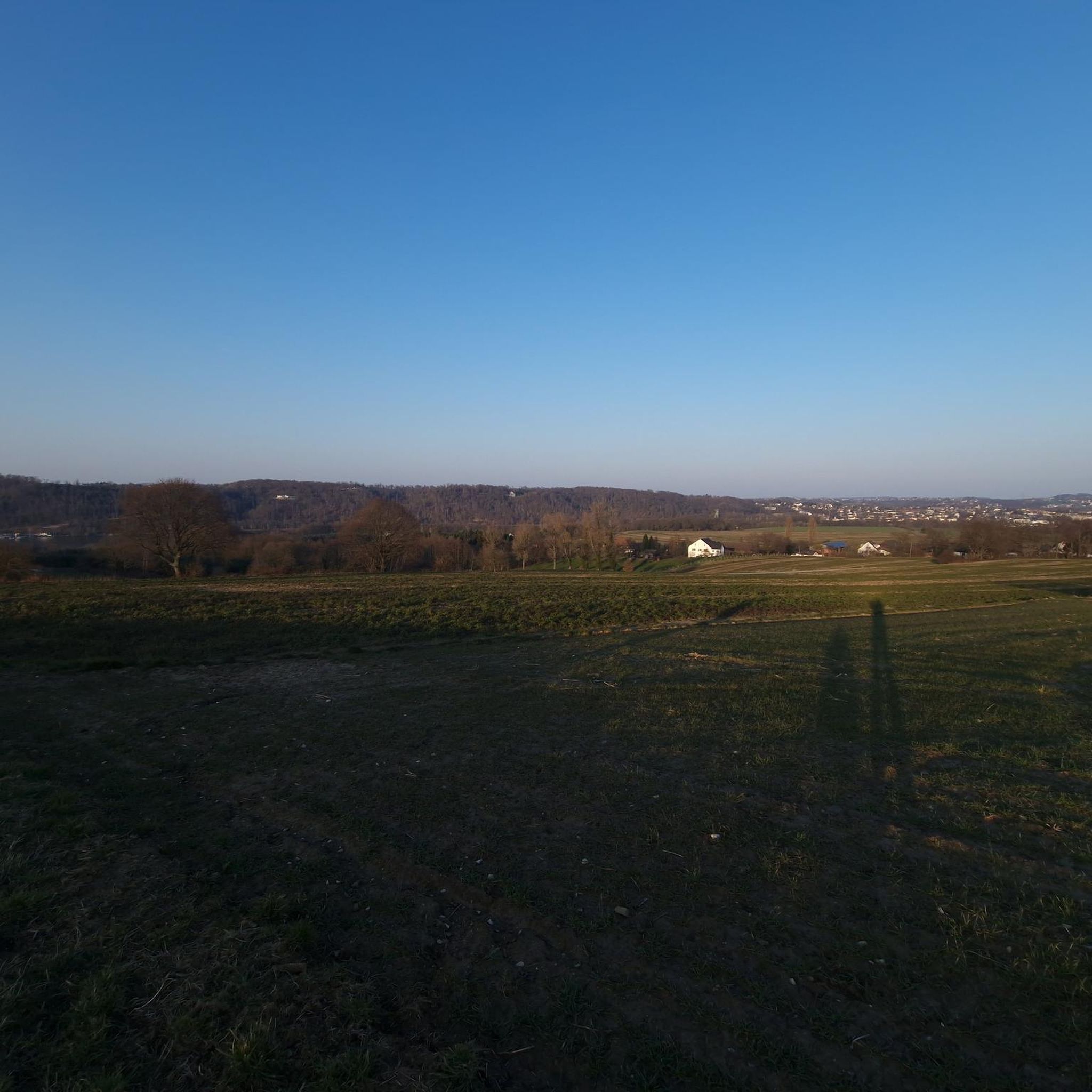
Road cycling routes in Elmore State Park traverse a landscape characterized by Lake Elmore, Elmore Mountain, and the rolling, forested hills of the Worcester Range. The area offers varied terrain, from scenic paths around the lake to routes with significant elevation gain. Cyclists can expect a mix of forested roads and agricultural lands, providing a quintessential Vermont experience. The region's topography includes segments that can be unpaved, catering to those seeking a more challenging ride.
Best road cycling routes in…
Last updated: June 29, 2026
10
riders
77.9km
03:45
830m
830m
Moderate road ride. Good fitness required. Some segments of this route may be unpaved and difficult to ride.
2
riders
52.7km
02:07
290m
290m
The Hardwick Lake – Lake Elligo loop from Boat Ramp offers a delightful road cycling adventure through Vermont's picturesque Northeast Kingdom. You'll pedal past expansive rolling fields, through thick evergreen…

Sign up for free
85
riders
78.3km
03:52
970m
970m
Hard road ride. Very good fitness required. Some segments of this route may be unpaved and difficult to ride.
14
riders
33.1km
01:34
380m
380m
Moderate road ride. Good fitness required. Some segments of this route may be unpaved and difficult to ride.
10
riders
29.2km
01:22
260m
260m
Moderate road ride. Great for any fitness level. Some segments of this route may be unpaved and difficult to ride.
Get access to more routes and recommendations from other explorers.
Sign up for free
Already have an account?
Our route recommendations are based on thousands of hikes, rides, and runs completed by other people on komoot.
Start today with a free account
Your next adventure awaits.
Login or Signup
Popular around Elmore State Park


Tips from the Community

Great way to get up the Notch and avoid most of Route 107
0
0

Randolph Road is a relatively flat road that connects Stowe to Morrisville, past the local airport. This road has great views of the mountains pretty much the entire way as you ride.
0
0
Morrisville, Vermont, is a charming village in Lamoille County, just north-northeast of Stowe. The main street is lined with 19th and early 20th-century buildings that host a variety of locally-owned shops, including boutiques, and antique stores, as well as cozy cafes and family-owned restaurants that emphasize local ingredients. Main Street also features nearby green spaces with easy access to the Lamoille River and the Lamoille Valley Rail Trail, the longest rail trail in New England!
0
0
Although the old railroad that the Lamoille Valley Rail Trail follows the path of is long gone, remnants like this old railroad bridge remain. It's a neat piece of history that you can ride over as you bike around the area.
0
0
The Grist Mill Covered Bridge, which is also known as the Scott Covered Bridge, the Bryant Covered Bridge, or the Canyon Covered Bridge, spans the Brewster River near the beautiful Brewster River Gorge and falls. This bridge is one of a small number of surviving Burr arch truss bridges in the state and was built in the 19th century. In 1974 it was listed on the National Register of Historic Places. There is a nice overlook for the Brewster Falls not far from here, down a short trail if you wanted to leave your bikes and go on a short walk.
0
0
Lintilhac Park is a lovely little park behind the Stowe Community Church and is a common access point for the southern end of the Stowe Recreation Path, just north of Main Street, Stowe. The Stowe Recreation Path is a popular, scenic, 5.3-mile paved trail that is open for bikers and walkers, and is groomed in the winter for cross-country skiers. This fantastic trail crosses Little River several times via wooden bridges, has multiple spots for swimming, and offers direct access to many restaurants and shops in Stowe. There is a bike repair station at Lintilhac Park for those who might need it, in addition to parking for the Recreation Path.
0
0
A coffee shop and a brewery right across the street from each other! What more can you ask for on a relaxing ride around Stowe? Idletyme Brewing and PK Coffee are two great spots to grab a burger and beer or coffee and pastry depending on your mood (and time of day). Both of these local-favorite spots are right off of the Stowe Recreational Path, making them convenient to stop at and refuel as you explore the area.
0
0
From the main parking area, you must walk back on the road and through the Grist Mill Covered Bridge. Also known as the Scott Covered Bridge, the Bryant Covered Bridge,or the Canyon Covered Bridge, this bridge is one of a small number of surviving Burr arch truss bridges in the state and was built in the 19th century. In 1974 it was listed on the National Register of Historic Places.
0
0
Frequently Asked Questions
How many road cycling routes are available in Elmore State Park?
There are over 10 road cycling routes in Elmore State Park, offering a variety of experiences for different skill levels. These routes are highly rated by the komoot community, with an average score of 4.0 stars.
What kind of terrain can I expect on road cycling routes around Elmore State Park?
The region around Elmore State Park offers diverse terrain, characterized by the scenic Lake Elmore, Elmore Mountain, and the rolling, forested hills of the Worcester Range. You'll encounter a mix of forested roads and agricultural lands, with some segments potentially unpaved, providing a quintessential Vermont cycling experience.
Are there challenging road cycling routes in the Elmore State Park area?
Yes, the area includes routes with significant elevation gain, catering to cyclists seeking a workout. For example, routes like the Old Railroad Bridge – Grist Mill Bridge loop from Moss Glen Falls are classified as difficult, featuring substantial ascents.
Are there any easy or family-friendly road cycling options near Elmore State Park?
While many routes offer moderate challenges, the proximity to the Stowe Recreation Path provides an excellent option for more leisurely rides. This paved trail is ideal for families and offers direct access to various amenities in Stowe.
What are some notable landmarks or scenic features I might see while road cycling in Elmore State Park?
Road cycling routes in the area offer consistent views of Lake Elmore and Elmore Mountain. You might also encounter historic features like the 'Old rr bridge' and 'Grist Mill Bridge' on routes such as the Old rr bridge loop from Boat Ramp, which integrates historic infrastructure into scenic rides.
Are there any loop trails for road cycling in Elmore State Park?
Yes, many routes in the area are designed as loops. Popular options include the Old rr bridge loop from Boat Ramp and the Lake Elmore – Stowe Recreation Path loop from Morristown, which connects the lake area with the Stowe Recreation Path.
What is the best time of year for road cycling in Elmore State Park?
The region is best enjoyed from spring through fall. The landscape is mostly forested, providing a lush green tunnel in many areas during warmer months. Winter road cycling can be challenging due to snow and ice conditions.
Are there places to stop for food or drinks along the road cycling routes?
Yes, some routes pass by local establishments. For instance, the Idletyme Brewing & PK Coffee loop from Morristown Park and Ride leads through areas with local breweries and coffee shops, offering convenient opportunities for breaks.
Where can I find parking for road cycling near Elmore State Park?
Routes often start from accessible points like the Morristown Park and Ride, which typically offers parking. Specific starting points for routes, such as the 'Boat Ramp' for the Old rr bridge loop, usually indicate available parking facilities.
What do other road cyclists enjoy most about road cycling in Elmore State Park?
The komoot community highly rates the road cycling experience in Elmore State Park, with an average score of 4.0 stars. Cyclists often praise the diverse scenery, which combines views of Lake Elmore and Elmore Mountain with forested roads and agricultural landscapes, providing a memorable Vermont cycling adventure.
What is the typical distance for road cycling routes in this area?
Route distances vary to suit different preferences. You can find shorter rides, such as the Randolph Road – Morrisville loop from Moss Glen Falls at approximately 20 miles (33 km), up to longer excursions like the Old rr bridge loop from Boat Ramp, which covers about 48 miles (77 km).

Get inspired with the komoot mobile app


Explore more
Browse the best Road cycling routes in other regions.
