The best road cycling routes in Linn Run State Park
28
riders
5
rides
Road cycling routes in Linn Run State Park traverse a region characterized by varied topography and mixed hardwood and evergreen forests, offering a scenic backdrop for recreation. The area features rugged mountain sections and scenic gorges, providing diverse terrain for cyclists. While specific dedicated road cycling trails are not explicitly detailed within the park, the broader Laurel Highlands region, encompassing Linn Run State Park, is known for its longer road rides through the countryside with challenging climbs and scenic forest…
Last updated: August 20, 2026
6
riders
70.2km
03:39
840m
840m
Moderate road ride. Good fitness required. Some segments of this route may be unpaved and difficult to ride.
2
riders
61.0km
03:27
840m
840m
Moderate road ride. Good fitness required. Mostly well-paved surfaces and easy to ride.

Sign up for free
3
riders
32.3km
01:44
430m
430m
Moderate road ride. Good fitness required. Mostly well-paved surfaces and easy to ride.
4
riders
41.3km
02:26
500m
500m
Moderate road ride. Good fitness required. Some segments of this route may be unpaved and difficult to ride.
7
riders
72.2km
04:10
980m
980m
Hard road ride. Very good fitness required. Mostly well-paved surfaces and easy to ride.
Our route recommendations are based on thousands of hikes, rides, and runs completed by other people on komoot.
Start today with a free account
Your next adventure awaits.
Login or Signup
Popular around Linn Run State Park
Tips from the Community

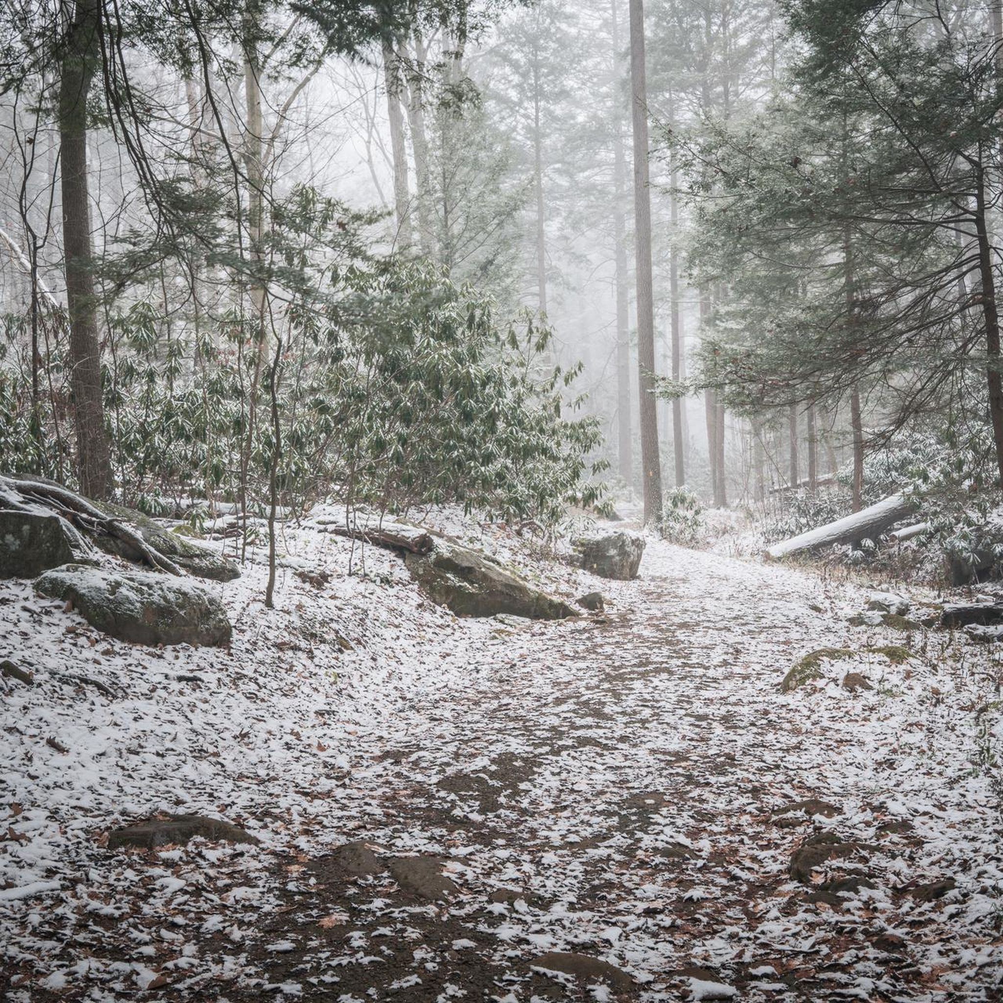
The Grove Run trail makes a nice loop through rocky and wooded terrain. Things can get slippery after a rain so proper footwear is essential.
0
0
This small state park sits along Linn Run, which flows through the park and is an excellent trout stream. There are a number of short trails through the park going to highlights like Adams Falls and Flat Rock.
0
0
Frequently Asked Questions
What is the general difficulty level of road cycling routes in Linn Run State Park?
The road cycling routes in and around Linn Run State Park primarily feature moderate to difficult terrain. You can expect varied topography with significant elevation gains, making for challenging rides. For instance, routes like Shooters Hill – Linn Run State Park loop from Rector and Shooters Hill loop from Rector are rated as moderate, while the Quemahoning Reservoir loop from LHHT Route 30 Parking Area is considered difficult due to its substantial climbs.
What kind of terrain can I expect on road cycling routes around Linn Run State Park?
The Laurel Highlands region, encompassing Linn Run State Park, offers a diverse landscape for road cycling. You'll encounter scenic forest roads, rolling countryside, and challenging mountain sections with significant elevation changes. The area is characterized by mixed hardwood and evergreen forests, providing a picturesque backdrop for your ride.
Are there any natural attractions or points of interest along the road cycling routes?
While specific road cycling routes might not pass directly by all attractions, the area is rich in natural beauty. Within Linn Run State Park, you can find Adam Falls, a beautiful 15-foot waterfall, and the scenic Linn Run stream. The broader region also offers stunning views and varied topography as you cycle through the countryside.
When is the best time of year to go road cycling in Linn Run State Park?
The Laurel Highlands region, including Linn Run State Park, offers different beauty throughout the changing seasons. Spring and fall are particularly popular due to pleasant temperatures and vibrant foliage. Summer provides warmer weather, while winter can offer unique, though more challenging, conditions for experienced cyclists, depending on snow and ice.
Are there family-friendly road cycling options in Linn Run State Park?
While many routes in the immediate vicinity of Linn Run State Park feature moderate to difficult climbs, the broader Laurel Highlands region does offer a mix of terrain. For less strenuous, family-friendly options, you might look for routes on flatter, paved sections or explore rail trails in the wider area, though dedicated easy road cycling trails within the park itself are limited.
Are dogs allowed on road cycling routes in Linn Run State Park?
Dogs are generally permitted in Pennsylvania State Parks, including Linn Run, but must be on a leash no longer than six feet and under physical control at all times. While they can accompany you on roads open to vehicles, it's important to ensure their safety and the safety of other road users, especially on routes with traffic or significant climbs.
Are there any circular road cycling routes available?
Yes, many of the road cycling routes in the Linn Run State Park area are designed as loops. For example, the Shooters Hill loop from Cook Township offers a moderate 27-mile circular ride. Another popular option is the Shooters Hill loop from Ligonier, which covers about 25 miles.
What do other road cyclists enjoy the most about road cycling in Linn Run State Park?
Road cyclists using komoot often praise the varied terrain and challenging climbs found in the Linn Run State Park area. The scenic forest roads and picturesque countryside views through the Laurel Highlands are frequently highlighted as enjoyable aspects of the rides.
Where can I find parking for road cycling in Linn Run State Park?
Parking is typically available at designated areas within Linn Run State Park. For specific route starting points, it's advisable to check the details of individual komoot tours, as they often indicate suitable parking locations near the trailhead or starting point of the ride.
Are there any specific regulations for road cycling within Linn Run State Park?
Traditional bicycles are permitted on state park roads within Linn Run State Park. However, mountain biking is restricted to designated trails within Forbes State Forest and prohibited on hiking trails in Linn Run State Park. Always adhere to posted signage and general park regulations for safe and enjoyable cycling. You can find more information on biking regulations on the Pennsylvania DCNR website.
How many road cycling routes are available in this guide for Linn Run State Park?
This guide features 5 distinct road cycling routes in the Linn Run State Park area, ranging from moderate to difficult in intensity. These routes offer diverse experiences through the region's scenic landscapes.
Can I expect challenging climbs on the road cycling routes?
Yes, the road cycling routes in the Linn Run State Park area, particularly within the broader Laurel Highlands region, are known for their challenging climbs. Many routes feature significant elevation gains, such as the Shooters Hill loop from Rector with over 875 meters of ascent, providing a demanding experience for cyclists.
Most popular routes in Linn Run State Park

Get inspired with the komoot mobile app


Explore more
Browse the best Road cycling routes in other regions.
