The best road cycling routes around Drachselsried
4.5
(207)
2,894
riders
148
rides
Road cycling routes around Drachselsried traverse the picturesque landscapes of the Bavarian Forest National Park, characterized by dense forests and rolling hills. The region's varied topography, including the scenic Zellertal Valley, provides diverse terrain for cyclists. Routes often feature significant elevation changes, offering both challenging ascents and enjoyable descents through natural settings. This area is well-suited for road cyclists seeking routes with a mix of gradients and scenic views.
Best road cycling routes around Drachselsried
- The most popular road cycling…
Last updated: October 9, 2026
5.0
(2)
88
riders
51.9km
02:43
780m
780m
Moderate road ride. Good fitness required. Mostly well-paved surfaces and easy to ride.
4.3
(3)
45
riders
42.2km
02:26
980m
980m
Hard road ride. Very good fitness required. Some segments of this route may be unpaved and difficult to ride.

4.0
(3)
26
riders
Moderate road ride. Good fitness required. Some segments of this route may be unpaved and difficult to ride.
5.0
(4)
15
riders
35.8km
01:52
650m
640m
Moderate road ride. Good fitness required. Mostly well-paved surfaces and easy to ride.
20
riders
45.1km
02:20
750m
750m
Moderate road ride. Good fitness required. Mostly well-paved surfaces and easy to ride.
Get access to more routes and recommendations from other explorers.
Already have an account?
Our route recommendations are based on thousands of hikes, rides, and runs completed by other people on komoot.
Start today with a free account
Your next adventure awaits.
Popular around Drachselsried
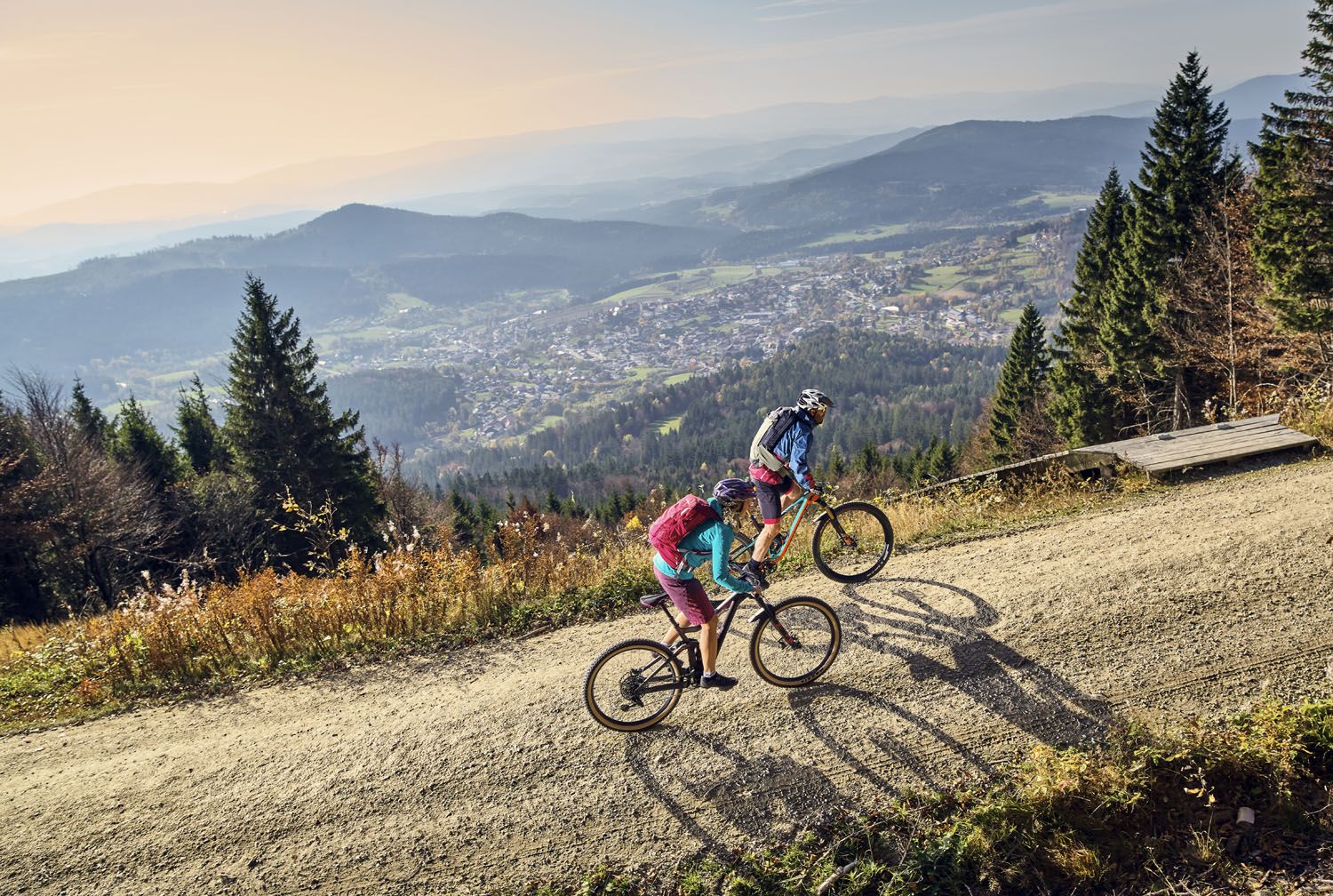
Exciting cycle and (e)-mountain bike Tours in the Bavarian Forest
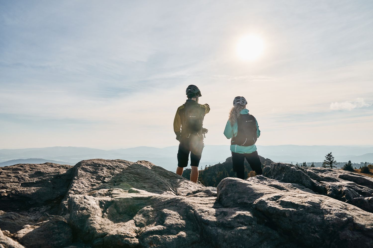
Trans Bayerwald Kurztour: Hüttentour, Romantik und wilde Natur
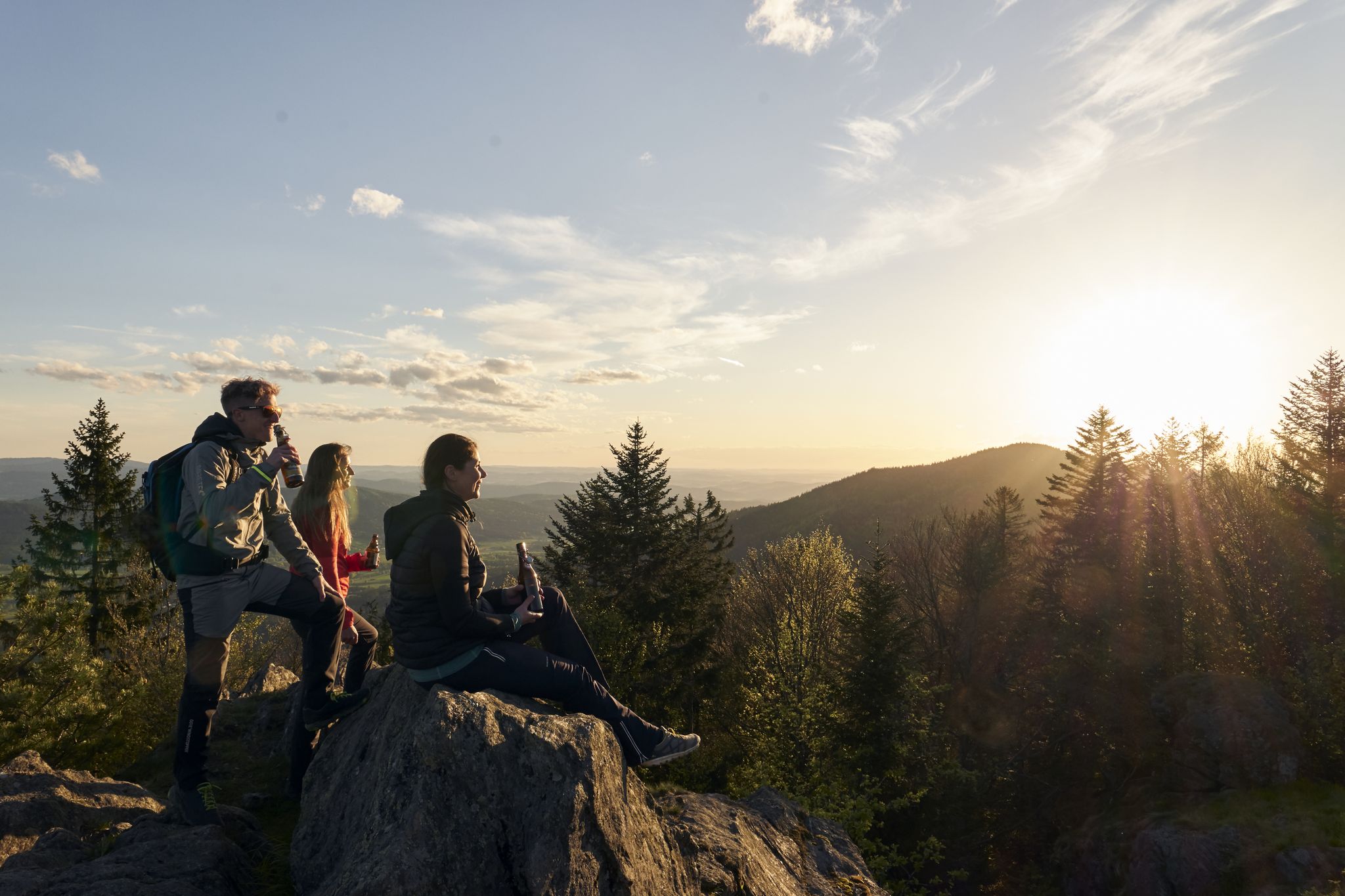
Erster Bierfernwanderweg Deutschlands - unterwegs auf bierigen Pfaden
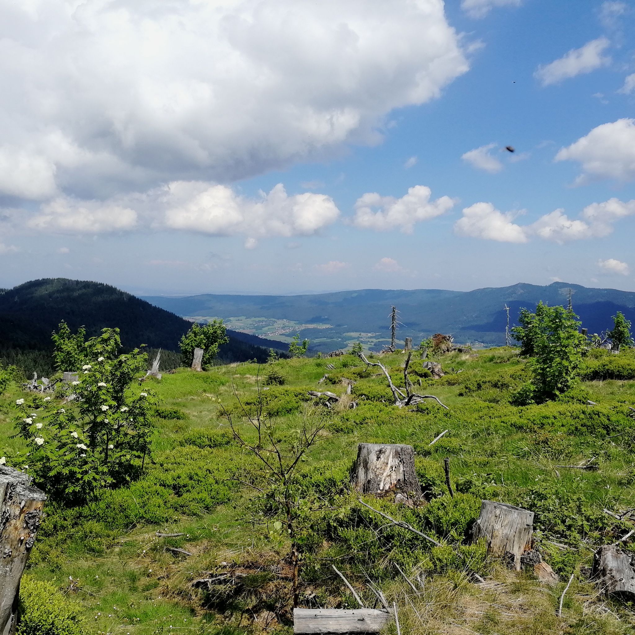
Hiking around Drachselsried
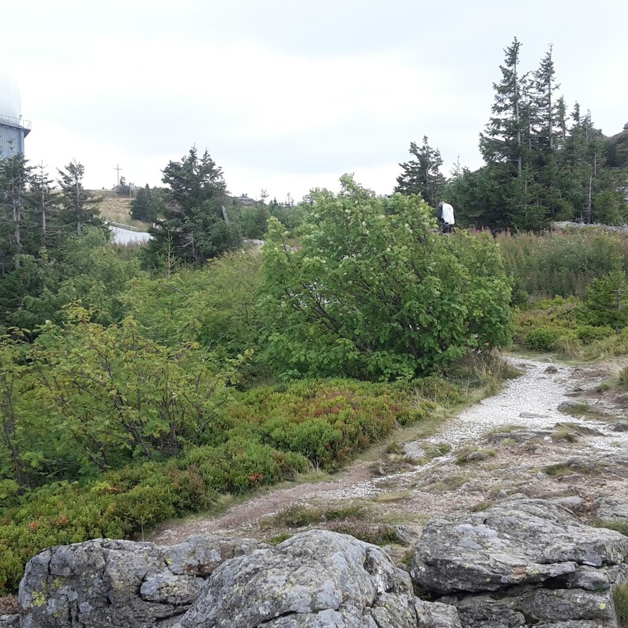
MTB Trails around Drachselsried
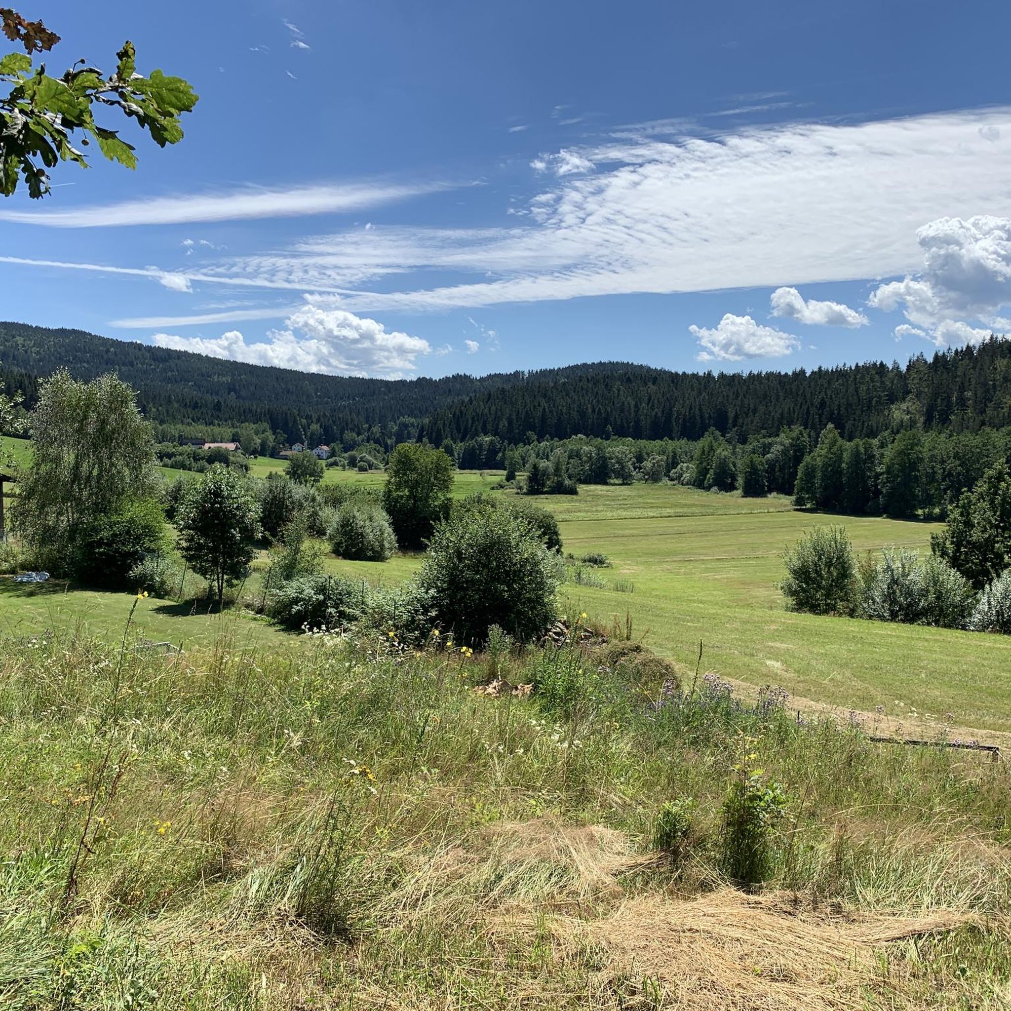
Cycling around Drachselsried
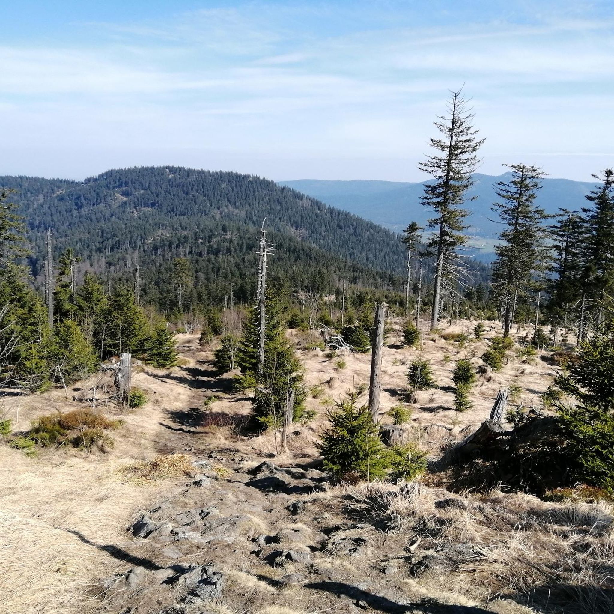
Running Trails around Drachselsried

Gravel biking around Drachselsried

Mountain Hikes around Drachselsried
Other adventures around Drachselsried


Tips from the Community

Always worth a visit, a great highlight.
0
0

The Regeninsel in Viechtach is an idyllically situated sports and leisure area, framed by the river Schwarzer Regen and the village of Blossersberg. It lies directly below the Viechtach town center in close proximity to the train station and has served as the sporting heart of the region since 1956.
0
0

The Gumpenried-Asbach stop is located on the Waldbahn (line RB 38), which runs through the Regental valley. The region is also called „Bavarian Canada“ due to its untouched nature.
7
0

The pedal boat rental at the beginning of Attersee is only open from spring until the end of summer. You can go almost to the end of the lake. The boundaries are marked with wooden beams.
1
0

Many cross-country ski trails start here. You can try all levels of difficulty in classic style and skating.
0
0

A beautiful, romantic valley. On one side of the path lies a stream, on the other, rocks. The path leads to a small sculpture trail and then to a beautiful forest path.
1
1

Located on the edge of the park
0
0

Beautiful view with beer garden behind the church
1
0
Frequently Asked Questions
How many road cycling routes are available around Drachselsried?
There are over 150 road cycling routes in the Drachselsried area. These routes cater to various skill levels, with approximately 70 moderate and over 80 difficult options, ensuring a suitable ride for most cyclists.
What kind of terrain can I expect on road cycling routes around Drachselsried?
Road cycling around Drachselsried features a diverse landscape of dense forests and rolling hills, characteristic of the Bavarian Forest National Park. You'll encounter varied topography, including the scenic Zellertal Valley, with routes often involving significant elevation changes, offering both challenging ascents and enjoyable descents.
Are there any easy or family-friendly road cycling routes in Drachselsried?
While many routes in Drachselsried feature significant elevation, there are a few easier options. The region's Schwarzer Regen – Zellertal Valley loop from Unterried offers a moderate experience through scenic landscapes. The Zellertal Radweg, mentioned in regional research, is also known as an 'enjoyment tour' with some challenges but generally idyllic scenery, making it suitable for those seeking a less strenuous ride.
What are some notable landmarks or natural features I can see along the road cycling routes?
Many routes offer views of significant landmarks and natural features. You can cycle past historic sites like Neunussberg Castle and Altnußberg Castle. The region also boasts natural highlights such as the Riesloch Falls and offers views towards the majestic Großer Arber Summit, the highest mountain in the Bavarian Forest.
Are there any circular road cycling routes in the Drachselsried area?
Yes, many road cycling routes around Drachselsried are designed as loops, allowing you to start and end in the same location. Examples include the popular Pilgrimage Church Weißer Regen – View of Tresdorf loop from Gumpenried-Asbach and the challenging Bretterschachten (1,120 m) – Great Arber Lake loop from Unterried.
What do other road cyclists enjoy most about cycling in Drachselsried?
The road cycling routes in Drachselsried are highly rated by the komoot community, with an average score of 4.6 stars from over 160 reviews. Cyclists often praise the varied terrain, the beautiful forested landscapes of the Bavarian Forest National Park, and the mix of challenging climbs and scenic descents.
When is the best time of year for road cycling in Drachselsried?
The best time for road cycling in Drachselsried is typically during the warmer months, from late spring to early autumn. Summer offers pleasant temperatures and lush green scenery, ideal for exploring the region's diverse routes. Always check local weather conditions before heading out.
Are there options for parking near the road cycling routes in Drachselsried?
Yes, Drachselsried and its surrounding villages offer various parking options, often near trailheads or in town centers, making it convenient to access the road cycling routes. Specific parking information can usually be found on individual route descriptions.
Can I find cafes or pubs along the road cycling routes in Drachselsried?
The Drachselsried region, being a popular tourist destination, has various cafes, restaurants, and pubs in its villages and towns. While not every route will have establishments directly on the path, you'll often find places to refuel and relax in nearby communities like Drachselsried itself, Arnbruck, or Bodenmais.
Are there any routes that follow rivers or lakes?
Yes, some routes incorporate scenic waterways. For instance, the Schwarzer Regen – Zellertal Valley loop from Unterried follows sections of the Schwarzer Regen river. The region also features the Great Arber Lake, which can be viewed or accessed from certain routes, such as the challenging Bretterschachten (1,120 m) – Great Arber Lake loop from Unterried.
What is the general difficulty level of road cycling in Drachselsried?
Road cycling in Drachselsried offers a range of difficulties. While there are a few easier options, the majority of routes are moderate to difficult, featuring significant elevation gains and challenging climbs due to the region's hilly topography. This makes it an excellent destination for cyclists looking for a good workout amidst beautiful scenery.
Most popular routes around Drachselsried
Most popular attractions around Drachselsried

Get inspired with the komoot mobile app


Explore more
Browse the best Road cycling routes in other regions.
