Gunpowder Falls State Park Pleasantville Area
Gunpowder Falls State Park Pleasantville Area
The best running trails in Gunpowder Falls State Park Pleasantville Area
2.0
(1)
261
runners
27
runs
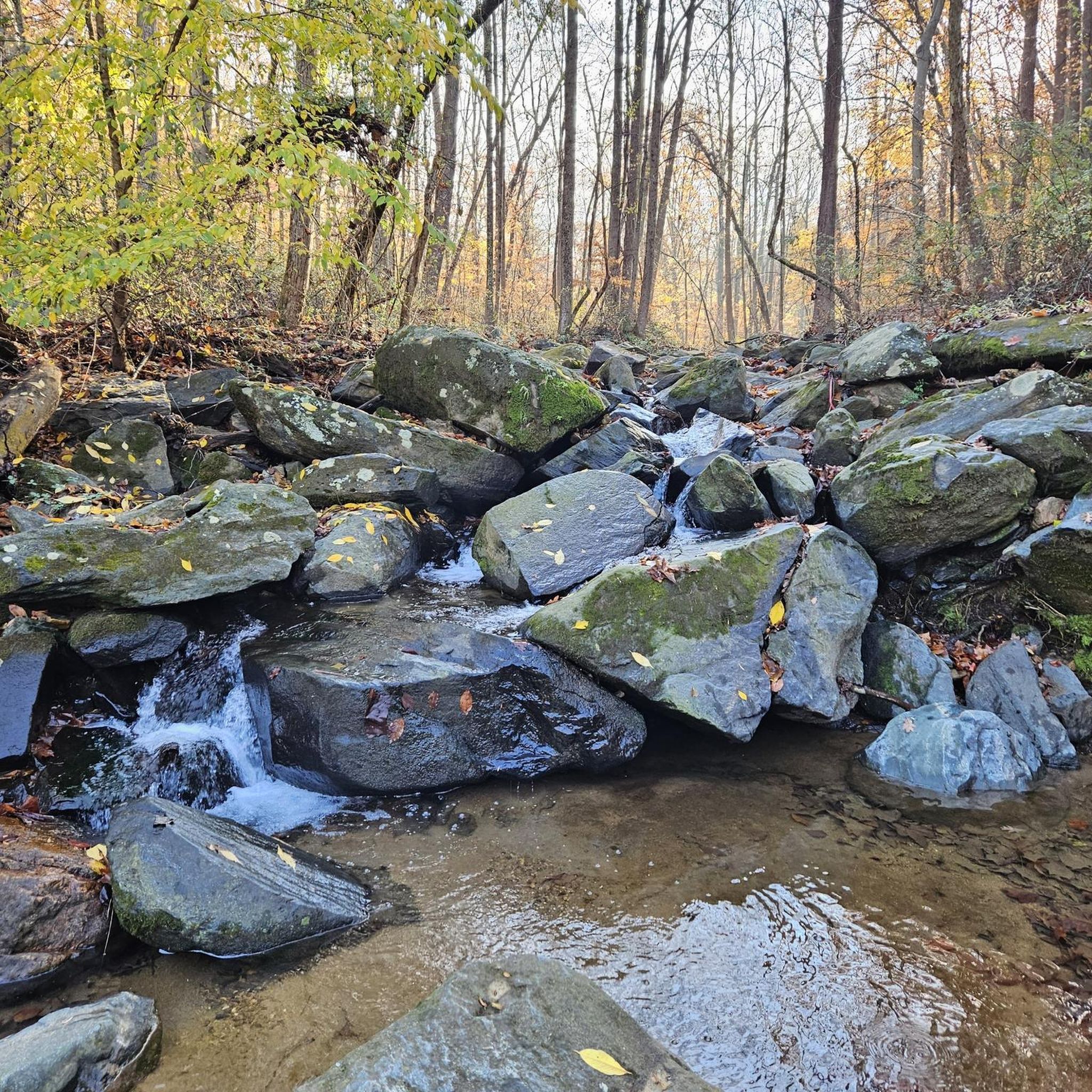
Jogging in Gunpowder Falls State Park Pleasantville Area offers diverse landscapes centered around the Little Gunpowder Falls, providing serene water views. The terrain includes dense forests, woodlands, and frequent creek crossings, with a mix of river valleys and gentle slopes. The park's geology transitions from coastal plain to piedmont, resulting in rolling hills and rocky stream valleys in western parts, with flatter sections in the east. Former railroad grades provide relatively flat and scenic running routes.
Best jogging routes in…
Last updated: July 7, 2026
10
runners
7.40km
00:54
80m
80m
Jog the moderate 4.6-mile Pleasantville Loop Trail in Gunpowder Falls State Park, featuring scenic river views and diverse terrain.
8
runners
8.19km
01:00
30m
30m
The Little Gunpowder Trail offers a delightful mix of scenery and terrain for joggers, making it a favorite in Gunpowder Falls State Park. As you run, you'll trace the Little…

Sign up for free
6
runners
Hard run. Very good fitness required. Mostly paved surfaces. Suitable for all skill levels.
6
runners
Moderate run. Good fitness required. Mostly paved surfaces. Suitable for all skill levels.
10
runners
6.06km
00:45
80m
80m
The Old Quarry and Little Gunpowder Loop offers a delightful escape into nature, winding through heavily forested hillsides alongside the picturesque Little Gunpowder River. You'll encounter a mix of flowing…
Get access to more routes and recommendations from other explorers.
Sign up for free
Already have an account?
Our route recommendations are based on thousands of hikes, rides, and runs completed by other people on komoot.
Start today with a free account
Your next adventure awaits.
Login or Signup
Popular around Gunpowder Falls State Park Pleasantville Area



Tips from the Community

This 297-meter section of Bottom Road is compacted dirt, however it's really well maintained and smooth. Just use caution on really rainy days.
0
0

You can view the quarry from the top or from the bottom. From here you get great sweeping views off the ledge, and if you swing down below via the Little Gunpowder Trail you can look up to see its towering stone walls. The trail to this point from east is a little easier.
0
0

Jerusalem Mill Section is part of the vast Gunpowder Falls State Park. An endless network of trails will lead you to the discovery of this beautiful corner of Maryland.
0
0

As the Little Gunpowder Falls is divided into two parts at this spot, there is a very little island in the middle of the two river sections. After a very short distance, the two parts reunite again to continue flowing through the park.
0
0
There is ample parking at the trailhead and access to the trail system on both sides of the road. From here you can explore a network of peaceful singletrack trails that fork off of Little Gunpowder.
0
0
This is a wonderfully scenic singletrack trail that winds its way along the southern bank of Little Gunpowder Falls with continuous views of the river. The trail is packed dirt and only mildly technical.
0
0
The iconic bridge here is beautiful and open to views of Little Gunpowder Falls. The bridge is narrow and you share the road with the cars while you cross.
0
0
This is an old segment of the Maryland & Pennsylvania Railroad. You can follow the MD & PA Trail for a few miles along the river and through the trees between Pleasantville Bridge and Bottom Road Bridge.
0
0
Frequently Asked Questions
How many running routes are available in Gunpowder Falls State Park Pleasantville Area?
There are over 25 dedicated running routes in Gunpowder Falls State Park Pleasantville Area, offering a variety of distances and difficulty levels for joggers.
What kind of terrain can I expect on the jogging trails in Gunpowder Falls State Park Pleasantville Area?
You'll find diverse terrain, including dense forests, woodlands, and frequent creek crossings. Many routes follow former railroad grades, providing relatively flat and scenic sections. The area features a mix of river valleys, gentle slopes, and some rolling hills, with surfaces ranging from unpaved paths to gravel and asphalt.
Are there any easy jogging routes suitable for beginners or a relaxed run?
Yes, there are 4 easy jogging routes available. Many trails that utilize old railroad beds offer flatter, more accessible options. For example, sections of the Little Gunpowder Trail are known for their relatively flat profile.
Can I bring my dog on the running trails in Gunpowder Falls State Park Pleasantville Area?
Yes, Gunpowder Falls State Park is generally dog-friendly. Most multi-use trails in the Pleasantville Area welcome dogs, provided they are kept on a leash. Always check specific trail regulations before heading out.
Are there any circular jogging routes in the area?
Absolutely! Many routes offer a loop experience. A popular option is the Pleasantville Loop Trail, which is a moderate 4.6-mile (7.4 km) loop. Another great choice is the Old Quarry and Little Gunpowder Loop.
What are some scenic highlights or natural features I might see while running?
The trails are centered around the picturesque Little Gunpowder Falls, offering serene water views and opportunities to see both calm and rock-filled sections. You'll pass through enchanting woodlands with lush ferns, cross beautiful bridges like the Bottom Road Steel Bridge, and might even spot wildlife such as white-tailed deer, beaver, or bald eagles along the banks.
What is the longest running route available in Gunpowder Falls State Park Pleasantville Area?
For those looking for a longer challenge, the Small river island – Little Gunpowder Trail loop from Baldwin is a difficult 27.4 km (17 miles) route with significant elevation gain, perfect for an extended run.
Are there any routes suitable for families with children?
Many of the easier and moderate trails are suitable for families, especially those that follow the old railroad grades which tend to be flatter. These paths offer a pleasant experience for all ages to enjoy the natural surroundings.
What do other runners say about the trails in Gunpowder Falls State Park Pleasantville Area?
Over 290 runners have used komoot to explore the varied terrain of Gunpowder Falls State Park Pleasantville Area. They often praise the diverse landscapes, the refreshing natural escape, and the scenic views along the Little Gunpowder Falls.
Is there parking available near the jogging trailheads?
Yes, parking is generally available at various access points throughout Gunpowder Falls State Park Pleasantville Area. Specific parking details can often be found on individual route pages or park maps.
What is the best time of year to go jogging in Gunpowder Falls State Park Pleasantville Area?
The park offers a great experience year-round. Spring brings lush greenery and blooming wildflowers, while autumn showcases vibrant fall foliage. Summer is popular for its shaded paths and opportunities for a refreshing dip in the Little Gunpowder. Winter jogging can be beautiful, though some paths might be icy or muddy.
Are there any routes that offer significant elevation changes for a more challenging workout?
Yes, while many routes are relatively flat, the park's geology includes rolling hills and rocky stream valleys, particularly in the western parts. Routes like the Little Gunpowder Trail Loop offer moderate elevation gains, and the Small river island – Little Gunpowder Trail loop from Baldwin provides a more difficult challenge with substantial elevation changes.
Most popular routes in Gunpowder Falls State Park Pleasantville Area

Get inspired with the komoot mobile app


Explore more
Browse the best Running Trails & Routes in other regions.
