Fort Mchenry National Monument And Historic Shrine
Fort Mchenry National Monument And Historic Shrine
The best road cycling routes in Fort Mchenry National Monument And Historic Shrine
4.0
(36)
440
riders
51
rides
Road cycling routes in Fort McHenry National Monument and Historic Shrine are primarily characterized by their urban waterfront settings and historic parklands. The terrain is generally flat, offering accessible cycling experiences along the Baltimore harbor and through established city green spaces. Routes often feature views of the Patapsco River and the city skyline, with minimal elevation changes.
Best road cycling routes in Fort McHenry National Monument and Historic Shrine
- The most popular road cycling route is Baltimore Waterfront – Riverside…
Last updated: July 2, 2026
3.0
(1)
30
riders
20.5km
00:54
80m
80m
Easy road ride. Great for any fitness level. Mostly well-paved surfaces and easy to ride.
7
riders
76.9km
03:32
690m
690m
Moderate road ride. Good fitness required. Some segments of this route may be unpaved and difficult to ride.

Sign up for free
4.3
(6)
61
riders
36.5km
01:42
350m
350m
Moderate road ride. Good fitness required. Some segments of this route may be unpaved and difficult to ride.
4.5
(4)
17
riders
52.7km
02:18
290m
290m
Moderate road ride. Good fitness required. Mostly well-paved surfaces and easy to ride.
5.0
(4)
16
riders
83.9km
03:52
880m
880m
Moderate road ride. Good fitness required. Mostly well-paved surfaces and easy to ride.
Get access to more routes and recommendations from other explorers.
Sign up for free
Already have an account?
Our route recommendations are based on thousands of hikes, rides, and runs completed by other people on komoot.
Start today with a free account
Your next adventure awaits.
Login or Signup
Popular around Fort Mchenry National Monument And Historic Shrine

Tips from the Community


The BWI Trail offers a great spot to watch planes land at Baltimore/Washington International Thurgood Marshall Airport. This scenic trail provides some shelters and benches to take a break and watch.
0
0
The BWI Trail offers a great spot to watch planes land at Baltimore/Washington International Thurgood Marshall Airport. This scenic trail provides some shelters and benches to take a break and watch.
0
0

From this spot on the BWI Trail you get a truly amazing views over the airport. This multi-use trail is the only trail in the U.S. that encircles an international airport, making it a unique spot for a ride.
0
0

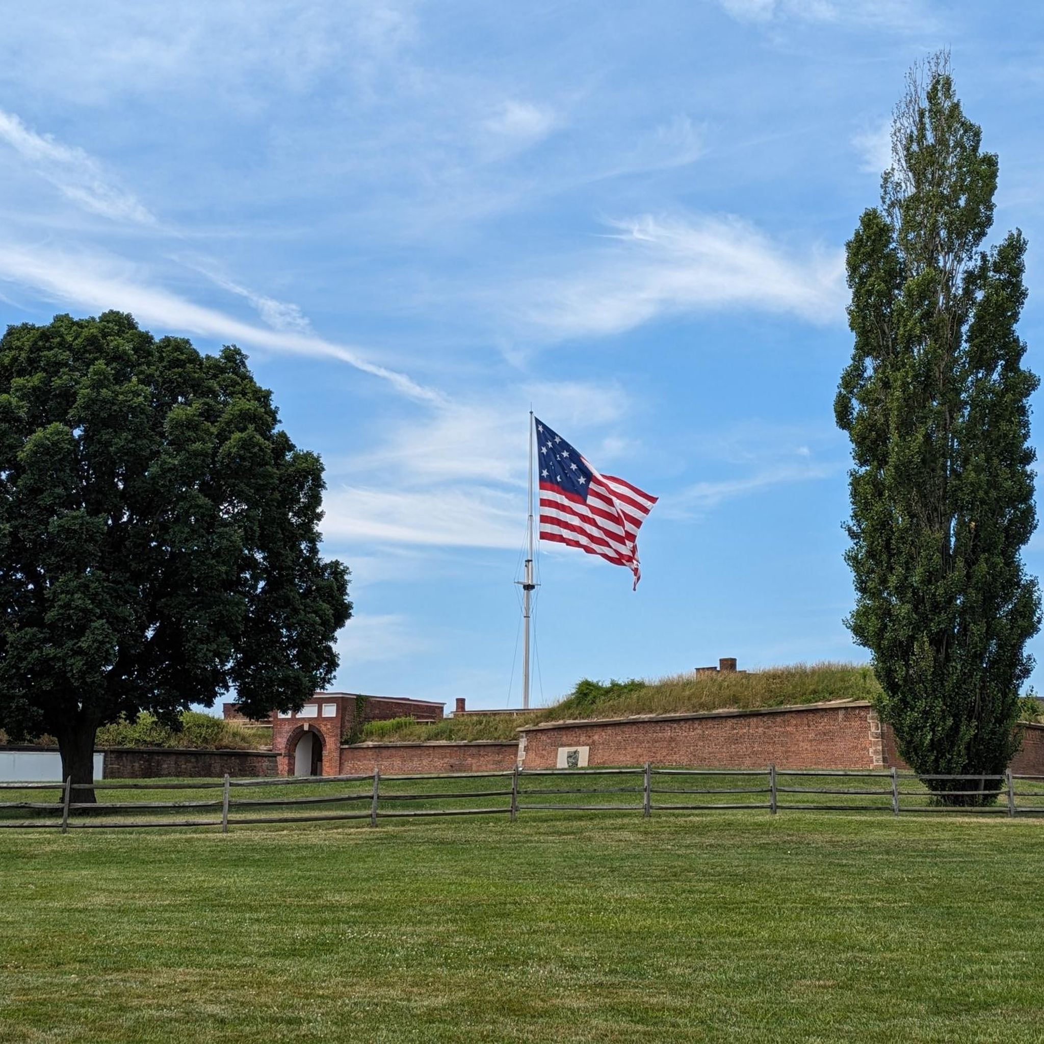
Fort McHenry, in Baltimore, is a historic site where the Star-Spangled Banner was inspired, featuring a preserved fort, museum exhibits, and re-enactments.
0
0
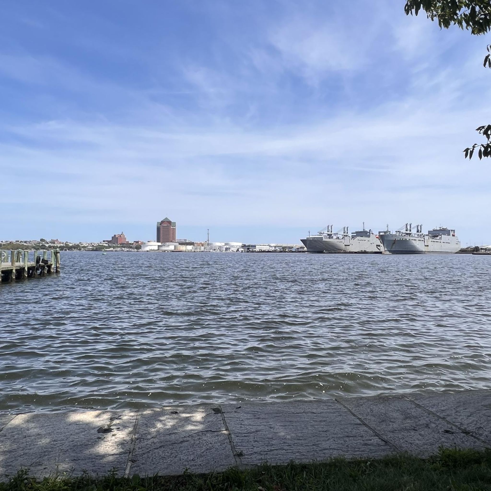
Fort McHenry Sea Wall Trail in Baltimore, offers scenic waterfront views, historical landmarks, and a peaceful walking path around the iconic fort.
0
0

Jones Falls is actually a stream, not a waterfall. It was impounded to create Lake Roland, but also flows into Baltimore and eventually the ocean. There's also a 10-mile pedestrian trail, Jones Falls Trail, that follows the stream and links into other green spaces, including Druid Hill Park.
0
0

The Jones Falls Trail is an easy paved path along the river. You can extend your ride by connecting to the Cylburn Arboretum and Northwest Park to the north, or Druid Hill Park via Clipper Road to the south.
0
0
Frequently Asked Questions
How many road cycling routes are available in Fort McHenry National Monument and Historic Shrine?
There are over 60 road cycling routes available in and around Fort McHenry National Monument and Historic Shrine. These routes cater to various skill levels, with options ranging from easy waterfront loops to more moderate distances exploring the city's historic areas.
Are there road cycling routes suitable for beginners or families in Fort McHenry?
Yes, Fort McHenry offers several easy road cycling routes perfect for beginners and families. These routes typically feature flat terrain along the waterfront and through urban parklands. A good option is the Riverside Park – Fort McHenry loop from Baltimore, which is about 6.7 miles (10.9 km) and takes around 30 minutes to complete.
What are the typical distances and elevations for road cycling routes in this area?
Road cycling routes in Fort McHenry National Monument and Historic Shrine vary in distance, generally ranging from 6 to 30 miles. Elevations are typically minimal, as routes primarily follow the flat urban waterfront and park areas. For example, the Baltimore Waterfront – Riverside Park loop is 13.6 miles (22.0 km) with an elevation gain of about 89 meters, making it a moderate ride.
Are there any advanced road cycling routes near Fort McHenry?
While the immediate Fort McHenry area is known for its flatter, accessible routes, more advanced cyclists can find longer, moderate options that extend further into Baltimore's surrounding areas. The BWI Trail – Tom Dixon Observation Area loop from Johns Hopkins Hospital, for instance, is a longer 33.2 miles (53.5 km) route with nearly 300 meters of elevation gain, offering a more challenging experience.
What is the best time of year for road cycling in Fort McHenry?
The best time for road cycling in Fort McHenry is generally spring and fall, when temperatures are mild and comfortable. Summer can be hot and humid, while winter can bring cold temperatures and occasional snow or ice, making some routes less enjoyable or accessible. Spring also offers pleasant views as the city's green spaces come alive.
Where can I find parking for road cycling near Fort McHenry National Monument?
Parking is available at Fort McHenry National Monument and Historic Shrine itself, providing convenient access to the waterfront routes. Additionally, various public parking garages and street parking options can be found in the surrounding Baltimore neighborhoods, particularly near Riverside Park or other starting points for routes.
Are there any scenic viewpoints or landmarks along the road cycling routes?
Yes, road cycling routes in Fort McHenry offer numerous scenic viewpoints. You'll enjoy continuous views of the Patapsco River and the Baltimore skyline. The routes often pass directly through or near historic sites, including Fort McHenry itself, and urban park areas like Riverside Park, providing a blend of natural beauty and historical interest.
Are there any cafes or places to refuel near the road bike trails?
Given its urban setting, there are many cafes, restaurants, and convenience stores located in the neighborhoods surrounding Fort McHenry National Monument and Historic Shrine. Areas like Federal Hill, Locust Point, and Canton, which are often part of or adjacent to the cycling routes, offer ample opportunities to stop for refreshments or a meal.
What do other road cyclists enjoy most about road cycling in Fort McHenry National Monument and Historic Shrine?
The area is highly rated by the komoot community, with an average score of 4.0 stars. Reviewers often praise the unique combination of historic sites, continuous waterfront views, and the accessibility of the generally flat urban routes. The ability to explore Baltimore's vibrant neighborhoods while cycling is also frequently highlighted.
Are there any loop routes available for road cycling?
Yes, many of the road cycling routes in Fort McHenry are designed as loops, offering a convenient way to start and end your ride at the same point. The Baltimore Waterfront – Jones Falls loop is a popular 13.1 miles (21.1 km) option that explores more of the city's diverse waterfront.
What kind of terrain can I expect on the road cycling routes?
The terrain for road cycling in Fort McHenry National Monument and Historic Shrine is predominantly flat and paved. Routes primarily follow urban waterfront paths, dedicated bike lanes, and roads through city parks. You can expect smooth surfaces, making it ideal for road bikes.
Most popular routes in Fort Mchenry National Monument And Historic Shrine

Get inspired with the komoot mobile app


