The best road cycling routes in Patapsco Valley State Park Freedom Area
3.5
(4)
132
riders
44
rides
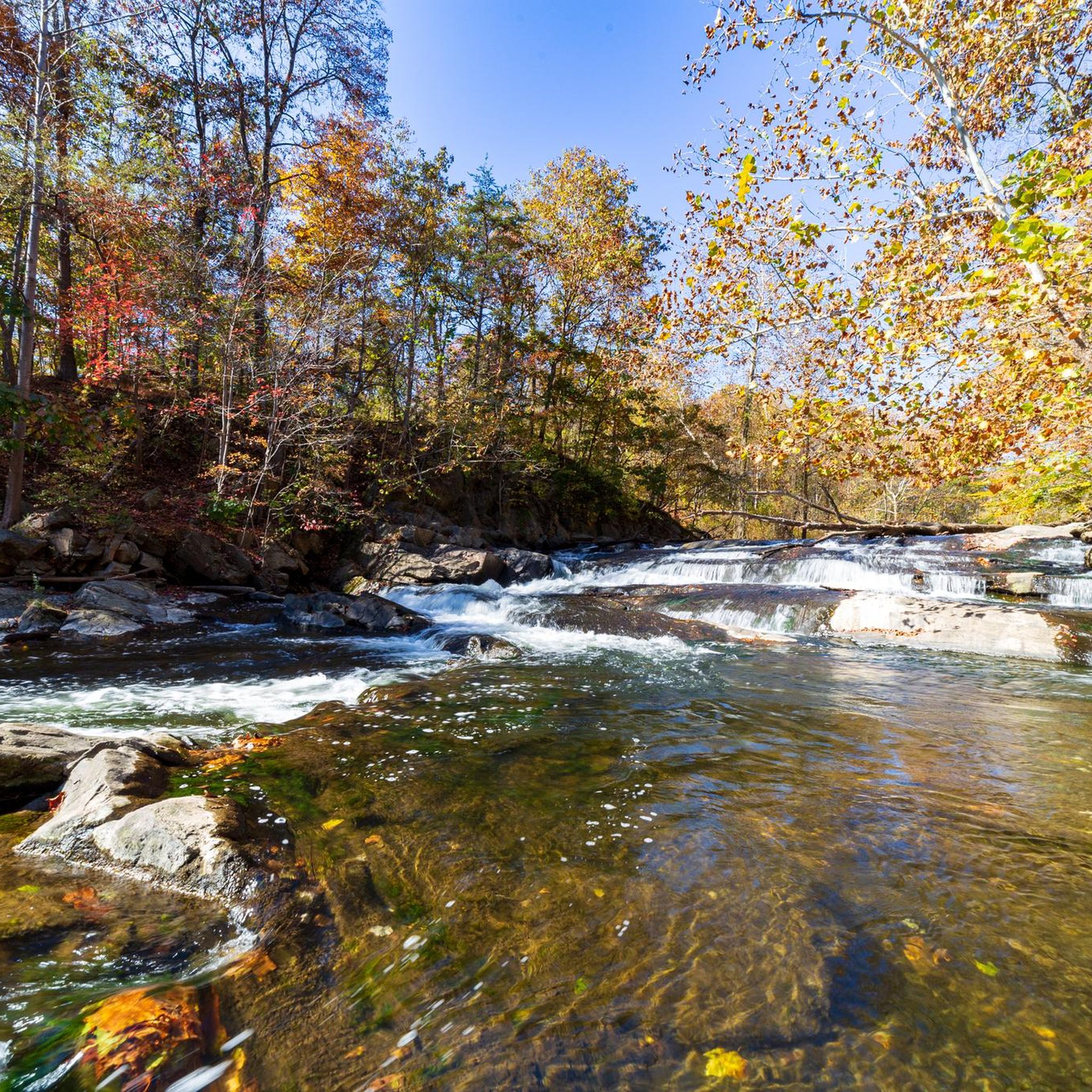
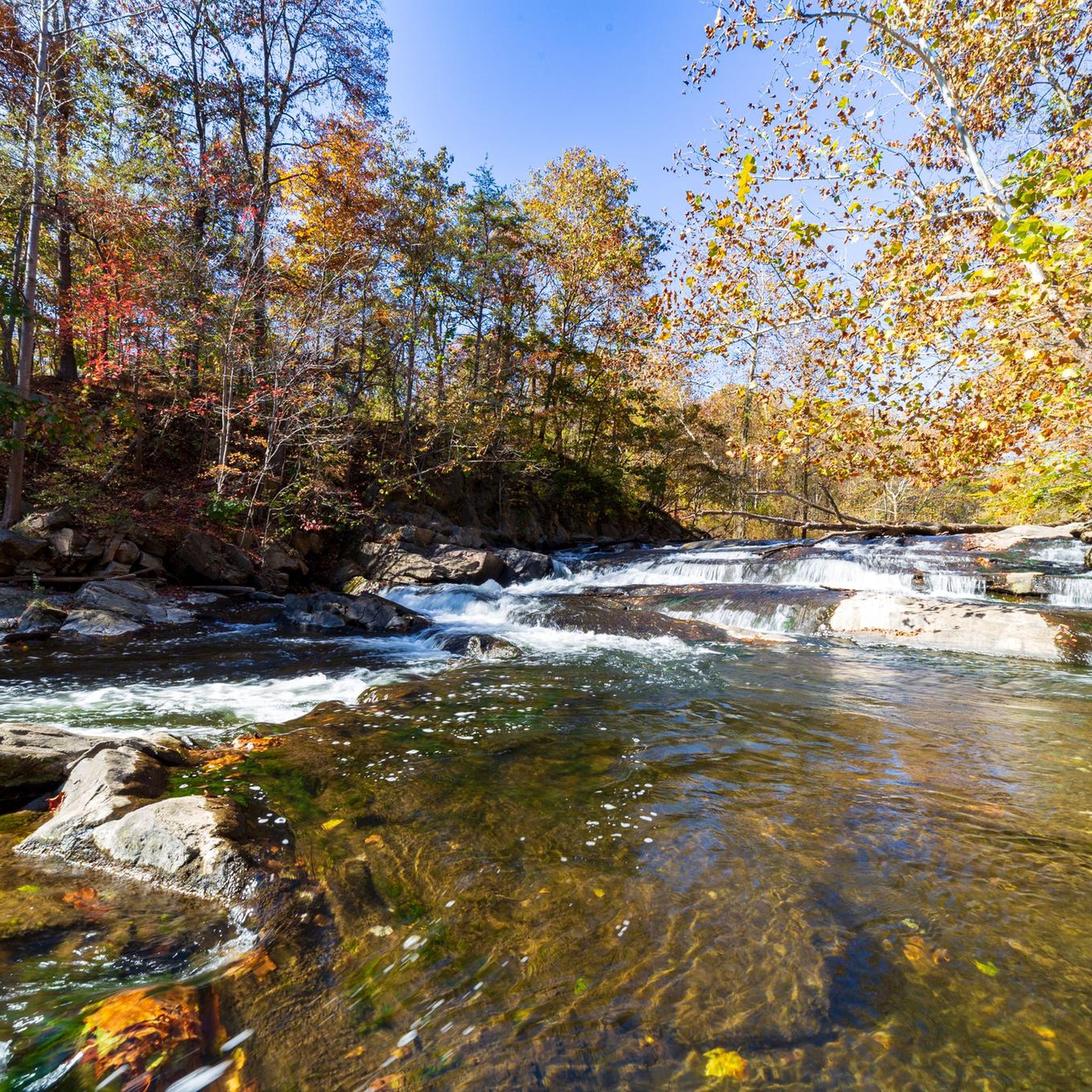
Road cycling in Patapsco Valley State Park Freedom Area offers routes through a landscape characterized by rolling hills, river valleys, and dense forested sections. The area features varied terrain with elevation changes, suitable for different road cycling preferences. Cyclists can expect to navigate roads that wind alongside the Patapsco River and through scenic rural areas. This region provides a mix of open stretches and tree-lined paths, typical of central Maryland's topography.
Best road cycling routes in Patapsco Valley State Park…
Last updated: October 5, 2026
6
riders
50.1km
02:19
510m
510m
Moderate road ride. Good fitness required. Some segments of this route may be unpaved and difficult to ride.
2
riders
49.3km
02:15
550m
550m
Moderate road ride. Good fitness required. Mostly well-paved surfaces and easy to ride.

6
riders
51.8km
02:32
540m
540m
Moderate road ride. Good fitness required. Mostly well-paved surfaces and easy to ride.
8
riders
Moderate road ride. Good fitness required. Some segments of this route may be unpaved and difficult to ride.
3
riders
93.6km
04:18
960m
960m
Hard road ride. Very good fitness required. Mostly well-paved surfaces and easy to ride.
Get access to more routes and recommendations from other explorers.
Already have an account?
Our route recommendations are based on thousands of hikes, rides, and runs completed by other people on komoot.
Start today with a free account
Your next adventure awaits.
Popular around Patapsco Valley State Park Freedom Area


Tips from the Community

It gets very cold as you get close to Patapsco River near the bridge. The bridge does move a little but very secure as you cross it. Be mindful if you’re wearing a skirt (Ms Monroe)
0
0

This is a smooth, winding road through bucolic Maryland countryside. Great scenic alternative to riding on Route 97/Roxbury Mills Road,
0
0

The Cycle Mill Bike Shop is a helpful, local bike shop. If you need to pick up anything during your ride, or need something looked at, it is a good choice.
0
0
Nice pedestrian bridge over the Little Patuxent River. It is popular with cyclists and walkers, so make sure you look out for other trail users.
0
0
Lake Elkhorn is the third-largest lake in the county. It is surrounded by woodland and has several paved trails that run along the perimeter of the water.
0
0

The Patapsco Valley was Maryland's first and remains its largest state park. The 14,000 acres (5,700 ha) are made up of forests, winding rivers and cascading waterfalls. It's a great place for hiking, camping, canoeing, horseback riding and mountain biking. Or simply just bring a picnic and relax by the river. Some historical sites are also worth visiting in the park such as the Thomas Viaduct and Orange Grove Flour Mill.
0
0

Ellicott town, captivates cyclists with its charming blend of historic architecture, tree-lined streets, and inviting local shops. The town's scenic beauty and welcoming atmosphere create an ideal stop for cyclists seeking a relaxing break, cultural exploration, and the warmth of a friendly community on their journey.
0
0

A large area of protected land that includes the ruins of the Admiral Jacob Hugg's mansion from which the area gets its name. There is a small parking area and an information board here.
0
0
Frequently Asked Questions
How many road cycling routes are available in the Patapsco Valley State Park Freedom Area?
There are over 45 road cycling routes documented on komoot for the Patapsco Valley State Park Freedom Area, offering a wide range of options for different skill levels and preferences.
What is the typical difficulty level of road cycling routes in this area?
The majority of road cycling routes in the Patapsco Valley State Park Freedom Area are rated as moderate, with 38 out of 46 routes falling into this category. There are also a few easier options and some more challenging routes for experienced riders.
Are there routes suitable for beginner road cyclists?
Yes, there are a few routes suitable for beginners. While most are moderate, you can find easier options to get started. For example, some shorter loops around less hilly sections might be a good introduction to the area's terrain.
Are there challenging routes for experienced road cyclists?
Absolutely. The Patapsco Valley State Park Freedom Area features routes with significant elevation changes, offering a good challenge for advanced road cyclists. There are 5 routes specifically rated as difficult, providing sustained climbs and descents through the region's rolling hills.
What is the typical length of road cycling routes in the Patapsco Valley State Park Freedom Area?
Route lengths vary, but many popular road cycling routes in this area range from 30 to 36 miles (48 to 58 km). For instance, the Henryton Bridge loop from Marriottsville is 33.4 miles, and the Roadbike loop from Marriottsville is 36.2 miles.
Are there many circular road cycling routes available?
Yes, many of the road cycling routes in the Patapsco Valley State Park Freedom Area are designed as loops, allowing you to start and finish at the same point. Examples include the Roadbike loop from Sykesville and the The Overlook – Northwest Regional Park loop from Eldersburg.
When is the best time of year for road cycling in the Patapsco Valley State Park Freedom Area?
Spring and fall generally offer the most pleasant conditions for road cycling, with milder temperatures and beautiful foliage. Summer can be warm and humid, while winter may bring colder temperatures and potential for icy roads, so always check the forecast.
What scenic views can I expect on these road cycling routes?
The routes wind through a landscape characterized by rolling hills, dense forested sections, and river valleys, particularly along the Patapsco River. You can expect picturesque rural scenery, tree-lined paths, and open stretches with views of central Maryland's topography.
Where can I find parking for road cycling in the Patapsco Valley State Park Freedom Area?
Parking is typically available at various access points and trailheads within Patapsco Valley State Park, as well as in nearby towns like Marriottsville and Sykesville, which serve as common starting points for many routes. Always check specific route descriptions for recommended parking locations.
Are there places to stop for refreshments along the routes?
While the routes themselves often traverse natural and rural areas, nearby towns such as Marriottsville, Sykesville, and Eldersburg offer cafes, diners, and convenience stores where you can refuel and take a break. Planning your route with these stops in mind is advisable.
What do other cyclists say about road cycling in this area?
The Patapsco Valley State Park Freedom Area is well-regarded by the komoot community, with an average rating of 2.7 stars. Cyclists often praise the varied terrain, the mix of climbs and descents, and the scenic beauty of the river valleys and woodlands.
What essential gear should I bring for road cycling in this region?
Beyond your road bike, helmet, and appropriate cycling attire, it's advisable to carry water, snacks, a repair kit (including spare tube and pump), and a fully charged phone. Given the varied terrain, consider gearing suitable for climbs and descents.
How can I find detailed maps for road cycling routes?
You can find detailed maps and navigation for all routes mentioned, and many more, directly on komoot. Each route page provides an interactive map, elevation profiles, and turn-by-turn directions that can be used on your smartphone or GPS device.
Most popular routes in Patapsco Valley State Park Freedom Area

Get inspired with the komoot mobile app


Explore more
Browse the best Road cycling routes in other regions.
