The best walks and hikes in Patapsco Valley State Park Daniels Area
4.6
(107)
992
hikers
65
hikes
Hiking in Patapsco Valley State Park Daniels Area is characterized by its position along the Patapsco River, featuring diverse landscapes. The region includes lush wooded floodplain forests along the river and upland deciduous forests on steep hillsides. Hikers encounter stream valleys with mature trees and varied elevation, from flat riverside paths to trails with moderate slopes. The Daniels Dam creates a two-mile stretch of calm water upstream, adding to the natural features.
Best hiking trails in Patapsco Valley State Park Daniels Area
- The most popular hiking route is Alberton Road to Daniels Dam — Patapsco Valley State Park (Alberton Area), a 3.1 miles (5.0 km) trail that takes 1 hour 16 minutes to complete. This easy route offers tranquil riverside walks along the Patapsco River.
- Another top favourite among local hikers is Pickall Trail loop — Patapsco Valley State Park, an easy 3.3 miles (5.2 km) path. This loop traverses wooded areas with varied elevation, providing scenic views of the park's natural features.
- Local hikers also love the Church Loop Trail to Camel's Den Cave — Patapsco Valley State Park, a 2.5 miles (4.0 km) trail leading through wooded paths and past historic landmarks, often completed in about 1 hour 8 minutes.
- Hiking in Patapsco Valley State Park Daniels Area is defined by the Patapsco River, wooded floodplain forests, and steep hillsides, with remnants of historic mill town ruins. The network offers options for different ability levels, from easy riverside paths to more challenging trails with significant inclines.
- The routes in Patapsco Valley State Park Daniels Area are highly rated by the komoot community with an average score of 4.7 stars from over 80 reviews. More than 800 hikers have used komoot to explore Patapsco Valley State Park Daniels Area's varied terrain.
Last updated: July 8, 2026
3.0
(4)
5
hikers
3.80km
01:04
80m
80m
The Old Main Line and Backside of Daniels Loop offers a delightful mix of riverside tranquility and historical intrigue within Patapsco Valley State Park. You'll wander along flat paths that trace an old railroad bed, then climb through wooded forests, enjoying views of the Patapsco River and its rock outcroppings. Keep an eye out for the impressive Daniels Dam, a true highlight of this varied route.
This easy 2.4-mile (3.8 km) hike involves a gentle 258 feet (79 metres) of elevation gain, taking about 1 hour and 4 minutes to complete. The trail starts at the Patapsco Valley State Park Daniels Area, which is easily accessible by car. While generally straightforward, some sections feature uneven terrain with roots and rocks, so wear appropriate footwear.
Beyond the natural beauty, this trail is a walk through history, following parts of the original 1830 Baltimore and Ohio Railroad alignment. You'll discover remnants of the abandoned 19th-century mill town of Daniels, including stone foundations and walls, offering a unique glimpse into the past lives and livelihoods that once thrived here.
18.0km
04:58
310m
310m
The Daniels Access, Powerline and Old Main Line Trail offers a captivating journey through Patapsco Valley State Park, where lush river views meet historical ruins. You'll traverse varied terrain, from the slim singletrack of the Daniels Access section with its steep climbs to the nearly flat, crushed gravel of the Old Main Line Trail, which follows an old railroad bed. The route provides a moderate challenge over 11.2 miles (18.0 km) with 1001 feet (305 metres) of elevation gain, typically taking just under 5 hours to complete, making it a solid day hike for those seeking both exercise and exploration.
Planning your visit is straightforward, with parking available at the Pickall Trailhead. While the trail is generally open, checking the Maryland State Park website for any specific advisories or seasonal changes is always a good idea. The varied nature of the trail means some sections can be more demanding, so be prepared with appropriate footwear and plenty of water, especially if you're hiking during warmer periods.
What truly sets this trail apart is its rich historical context; the Old Main Line Trail follows a section of the B&O Railroad from 1831, making it one of the earliest rail trails in the U.S. As you hike, you'll encounter remnants of the past, including railroad artifacts and the evocative ruins of the former mill town of Daniels. This blend of natural beauty and historical intrigue, including sights like the Patapsco River and the Camel's Den Cave, makes it a unique experience in the Baltimore County area.

Sign up for free
17.8km
04:48
230m
210m
The Quaker Hill to McKeldin via Thru Trail (White) offers a fantastic immersion into the diverse landscapes of Patapsco Valley State Park's McKeldin Area. You'll wind through peaceful wooded areas, encounter thick pine groves, and traverse open fields, with the Patapsco River often in view. Keep an eye out for the intriguing Abandoned Chevrolet Bel Air and the tranquil Old Quarry Lake along the way, making this a journey of discovery.
This moderate hiking route covers 11.1 miles (17.8 km) with 752 feet (229 metres) of elevation gain, typically taking around 4 hours and 47 minutes. Be prepared for varied terrain, including moderately steep slopes and uneven ground with rocks and roots. Some sections can be quite steep, and a sheer rock face crossing requires extra care, especially if it's wet. The trails are multi-use, so you'll share them with mountain bikers and equestrians.
Beyond the natural beauty, the McKeldin Area Patapsco Valley State Park trails are known for their rich wildlife, including deer, various birds, and even snakes like the northern water snake. The confluence of the Patapsco River's North and South Branches and the McKeldin Rapids are notable landmarks that add to the scenic appeal, particularly during late fall and winter when views open up.
5.67km
01:31
80m
60m
The Alberton Road and Double Trouble Loop is an easy 3.5-mile (5.7 km) hike that takes you on a journey through history and nature along the Patapsco River. With only 251 feet (76 metres) of elevation gain, this route is perfect for a relaxed outing, offering scenic river views and fascinating historical landmarks like abandoned factory ruins and a ghost community. You'll pass by the Daniels Dam Viewpoint, making for a rewarding experience in about 1 hour and 31 minutes.
This trail is a great option for those looking for an accessible and engaging walk. Parking is available at the Patapsco Valley State Park Alberton Area, but arriving early is recommended, especially on busy days. The trail is generally well-maintained, though some sections of the semi-paved path can be muddy or rocky, so appropriate footwear is a good idea.
What truly sets this trail apart is its rich historical context, showcasing the area's industrial past and human interaction with the natural environment over two centuries. You'll see remnants of the Daniels Textile factory and the burnt-out St. Stanislas Kostka Roman Catholic Church, offering a unique blend of outdoor activity and historical exploration that makes it a standout in the region.
3.7
(3)
9
hikers
5.01km
01:17
20m
20m
The Alberton Road to Daniels Dam trail offers a delightful riverside walk through Patapsco Valley State Park, perfect for an easy 3.1-mile (5.0 km) hike. With only 59 feet (18 metres) of elevation gain, this route typically takes about 1 hour and 16 minutes, making it accessible for nearly everyone. You'll follow the Patapsco River, shaded by dense deciduous forests, with continuous views of the water and the picturesque Daniels Dam at the end, showcasing some lovely Alberton Road to Daniels Dam natural features.
Planning your visit is straightforward, though it's wise to consider the Alberton Road to Daniels Dam trail conditions. The path, which follows an old road, is mostly flat and semi-paved, but sections can become muddy or rocky after rain, so wear appropriate footwear. This easy hike is suitable for all skill levels and is a great option for a relaxed outing, especially if you're looking for a family-friendly adventure.
What truly sets this trail apart is its unique blend of nature and history. As you walk, you're tracing the path to the former mill town of Daniels, often referred to as a ghost town. Keep an eye out for historical artifacts like stone foundations and the ruins of old churches, including the St. Stanislaus Kostka Catholic Church, which add a fascinating layer to your journey and make it more than just a simple stroll.
Get access to more routes and recommendations from other explorers.
Sign up for free
Already have an account?
Our route recommendations are based on thousands of hikes, rides, and runs completed by other people on komoot.
Start today with a free account
Your next adventure awaits.
Login or Signup

Tips from the Community

Other than the defunct end of what was a bridge, there is no other sign of a bridge.
1
0

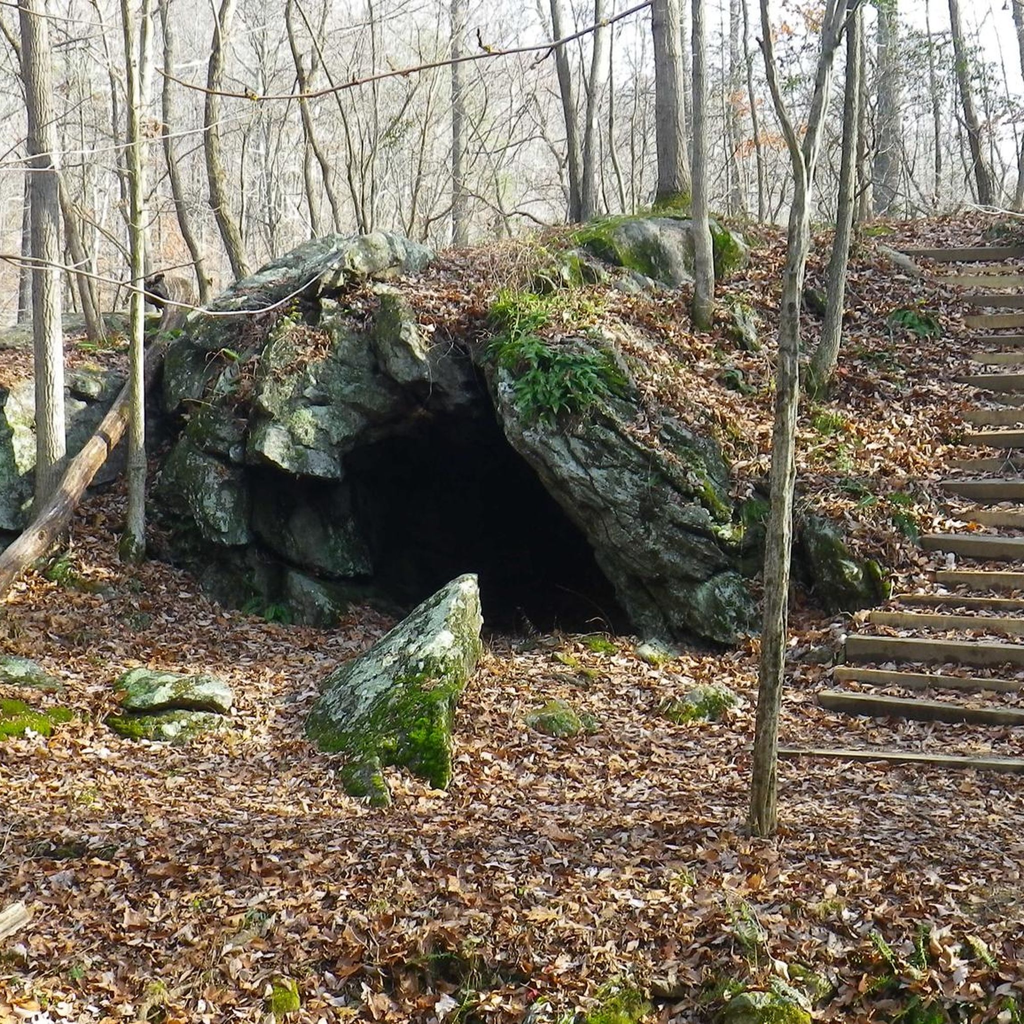
Camel’s Den Cave is a small, shallow shelter cave nestled in the Daniels Area of Patapsco Valley State Park. It's a slight detour off Daniels Singletrack and you will need to carry your bike down a couple of steps.
0
0
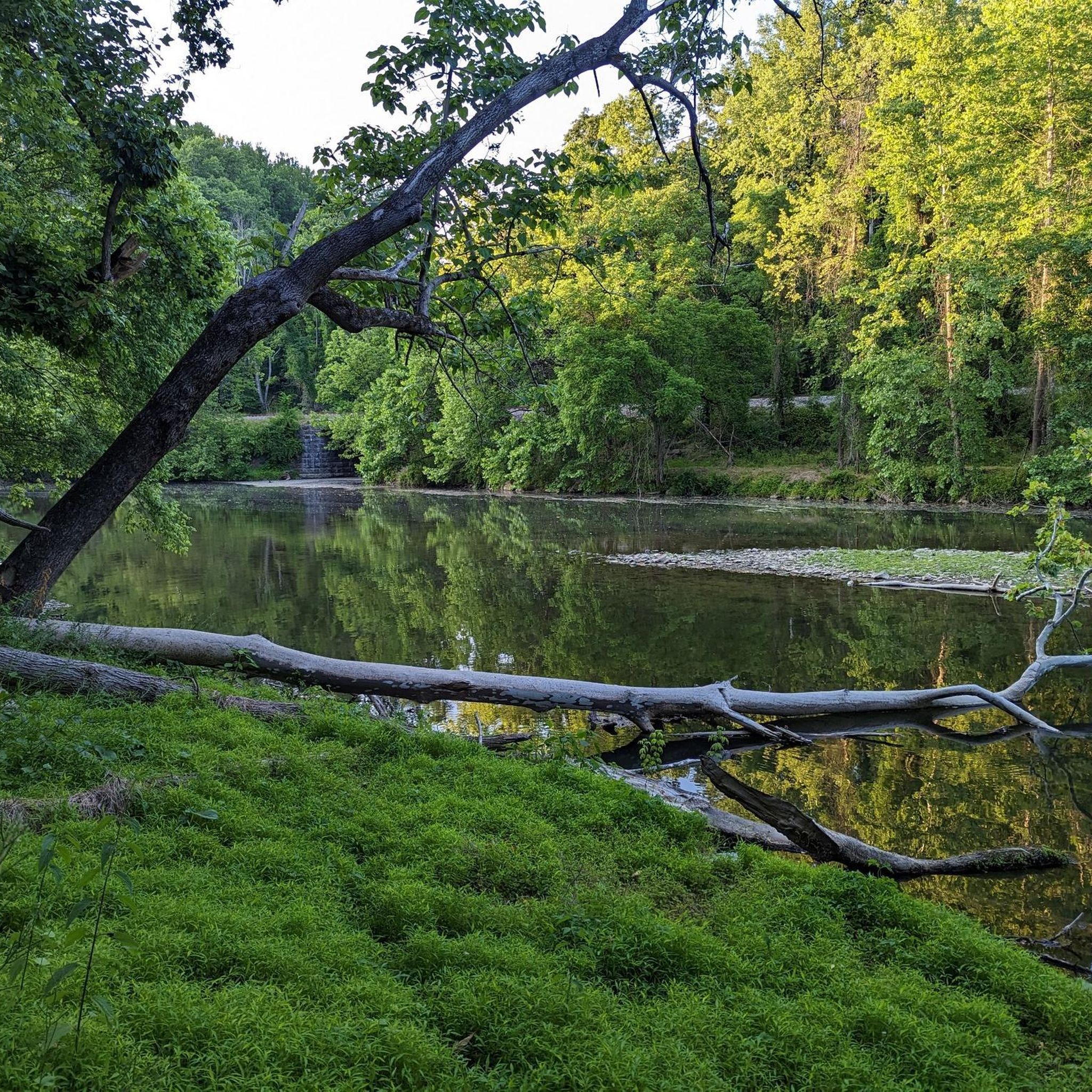
Daniels Dam is a nice small dam along the Patapsco River. You get a good view from the parking lot, so it is worth pulling in for a short break.
0
0

This path has lots of shade, nice scenery, and a beautiful waterfall at the end. Perfect for a short, easy hike on a sunny day!
0
0

The lake is small and fully encircled by the trail. The wall of the quarry stands high on the far side from the viewpoint. In the summer the vegetation crowding the water makes it feel like quite the lush watering hole.
0
0

From this spot along the Patapsco Traverse, you get a great view of Daniel Dam that dams up the Patapsco River.
0
0

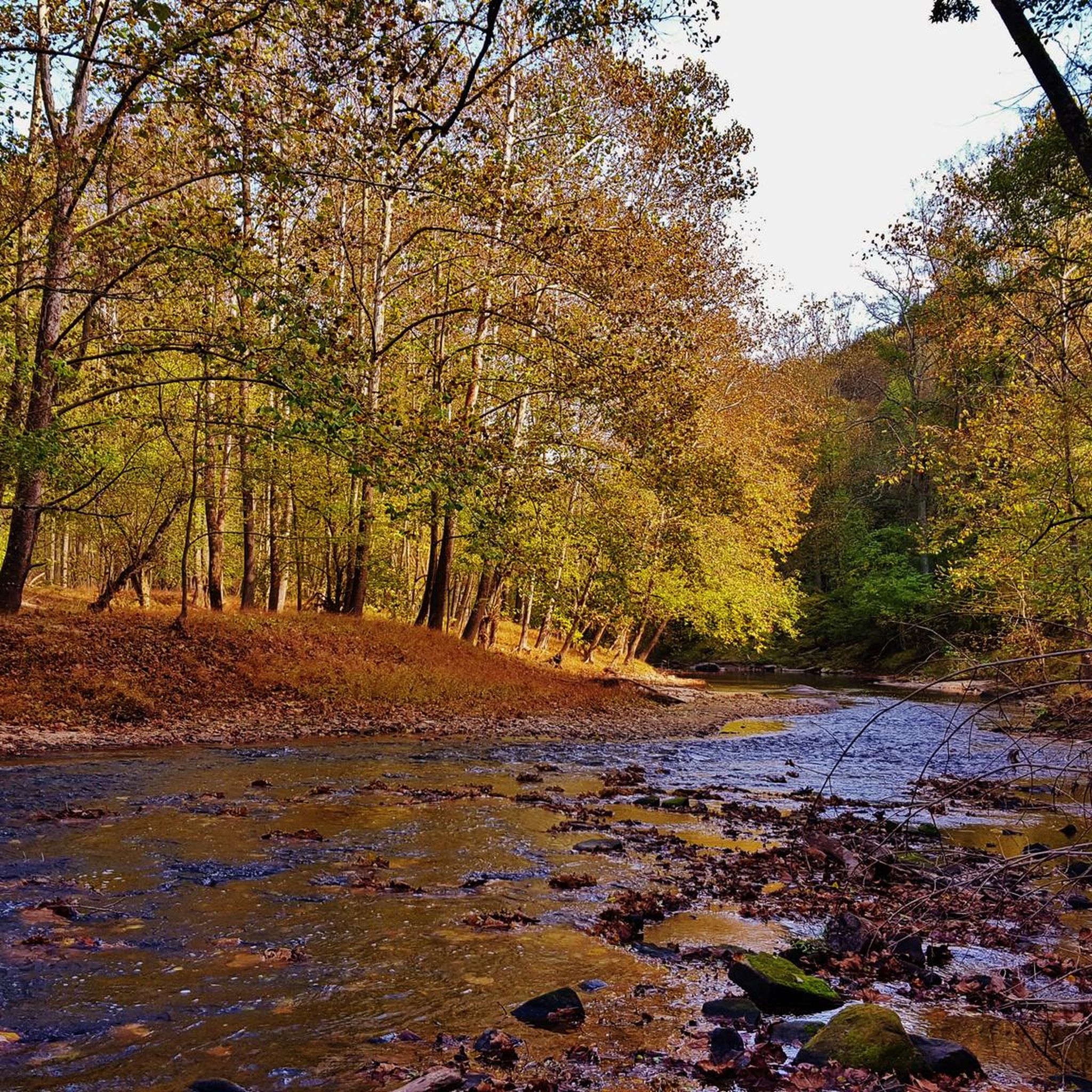
The Patapsco River is a 39-mile river that flows into the Chesapeake Bay, notably running through the city of Baltimore.
0
0

Embark on a journey through the Patapsco Valley State Park Alberton Area, where human interactions with nature unfold over centuries. The Daniels Area reveals a fascinating history, marked by abandoned roads, vehicles, churches, and a ghost community—a testament to the evolution of American society and industry. Explore this captivating blend of nature and history, experiencing the remnants of the cotton textile industry that have shaped the landscape throughout the years.
1
0
Frequently Asked Questions
How many hiking trails are available in Patapsco Valley State Park Daniels Area?
There are over 50 hiking routes in Patapsco Valley State Park Daniels Area. These trails offer a diverse range of experiences, from easy riverside strolls to more challenging climbs through wooded hillsides.
What is the best time of year to go hiking in the Daniels Area?
The best seasons to enjoy hiking in the Daniels Area are spring, summer, and fall. During these times, the lush wooded floodplain and upland deciduous forests are vibrant, offering pleasant conditions for exploring the trails along the Patapsco River.
Are there any easy, family-friendly hikes in Patapsco Valley State Park Daniels Area?
Yes, the Daniels Area offers several easy trails suitable for families. For instance, the Alberton Road to Daniels Dam — Patapsco Valley State Park (Alberton Area) route provides a tranquil riverside walk. Another great option is the Pickall Trail loop — Patapsco Valley State Park, which traverses wooded areas with varied, but manageable, elevation.
What kind of terrain can I expect on the trails in Patapsco Valley State Park Daniels Area?
The Daniels Area features diverse terrain, including flat riverside paths along the Patapsco River, broad shaded gravel paths, and more challenging dirt trails with moderate to steep slopes. You'll encounter lush wooded floodplain forests and upland deciduous forests on steep hillsides, providing varied elevation and scenic views.
Are there any loop trails in the Daniels Area?
Yes, there are several loop trails available. A popular choice is the Pickall Trail loop — Patapsco Valley State Park, which offers scenic views through wooded areas. Another option is the Church Loop Trail to Camel's Den Cave — Patapsco Valley State Park, which leads past historic landmarks.
What historical landmarks or natural features can I see while hiking?
The Daniels Area is rich in both natural beauty and history. You can explore remnants of its industrial past, including historic mill town ruins scattered along the trails, and an old historic church. The Daniels Dam creates a two-mile stretch of calm water upstream, and the Patapsco River itself is a prominent natural feature. Hikers can also visit Camel's Den Cave.
Are dogs allowed on the hiking trails in Patapsco Valley State Park Daniels Area?
While the guide data does not specify dog-friendly policies, Patapsco Valley State Park generally welcomes leashed dogs on its trails. It's always recommended to check the official park regulations before your visit to ensure compliance.
What do other hikers enjoy most about the Patapsco Valley State Park Daniels Area?
The Patapsco Valley State Park Daniels Area is highly rated by the komoot community, with an average score of 4.7 stars from over 80 reviews. Hikers often praise the diverse landscapes, the tranquil riverside walks, and the blend of natural beauty with historical elements like the mill ruins and the old church.
Are there any challenging hikes for experienced hikers?
Yes, while many trails are easy, the Daniels Area also offers more strenuous options. The Daniels Trail, for example, is an elevated trail that provides different perspectives of the park and often involves a challenging climb with steep sections. Overall, there are 23 moderate and 2 difficult routes available for those seeking a greater challenge.
Is there parking available at Patapsco Valley State Park Daniels Area?
Yes, parking is available within the Daniels Area of Patapsco Valley State Park. There are main parking areas that provide access to the trail network. It's advisable to arrive early during peak seasons to secure a spot.
Can I access the Daniels Area trails using public transport?
The guide data does not provide specific information on public transport access to the Daniels Area. Patapsco Valley State Park is primarily accessed by car, but it's recommended to check local transit authority websites for any potential bus routes or connections to the park entrances.
Are there any trails that follow a disused railroad bed?
Yes, the Old Main Line Trail in the Daniels Area follows a disused railroad bed. This trail is known for being relatively flat, offering excellent views and a unique historical perspective during your hike.
Most popular routes in Patapsco Valley State Park Daniels Area

Get inspired with the komoot mobile app


Explore more
Browse the best Hikes in other regions.
