The best running trails in Bash Bish Falls State Park
15
runners
3
runs
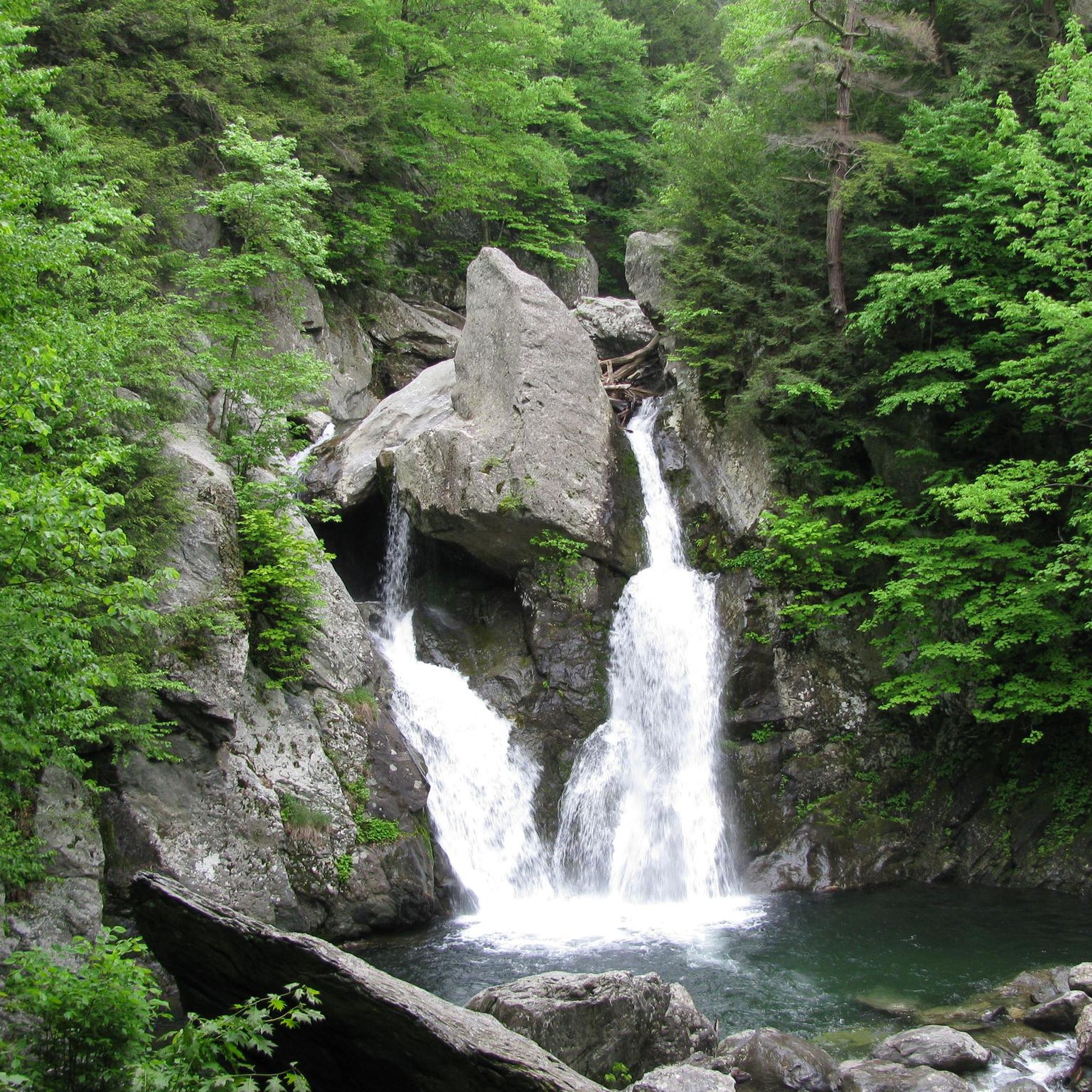
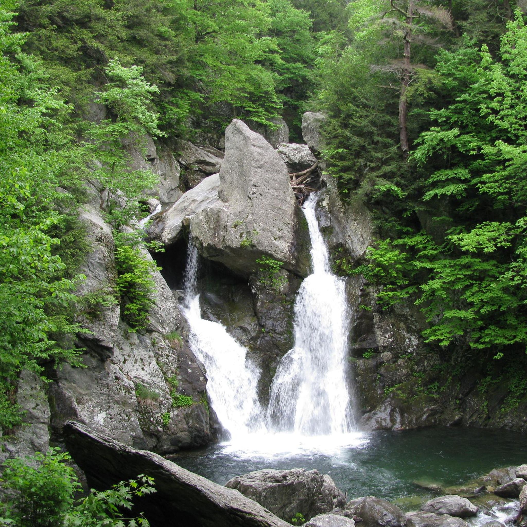
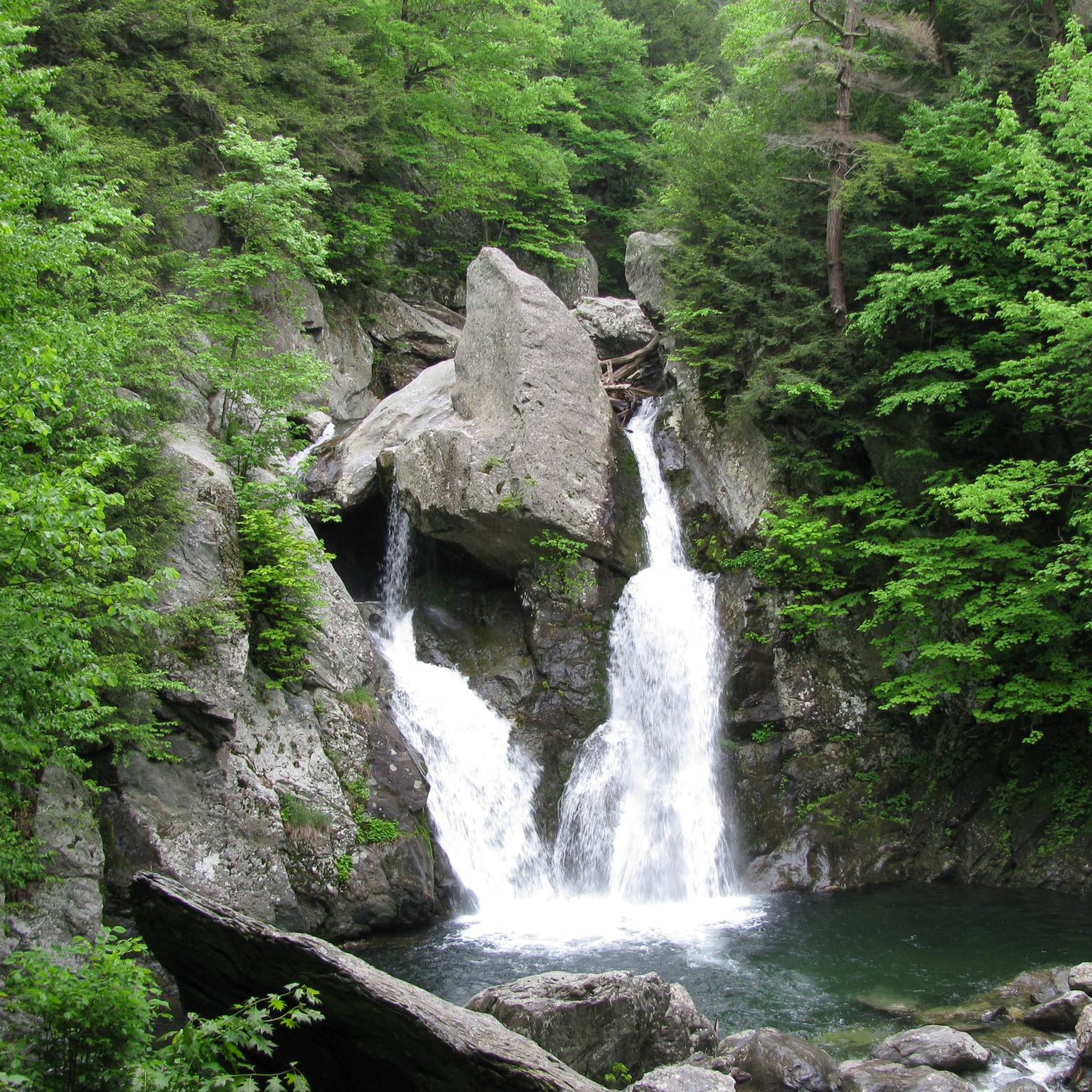
Jogging in Bash Bish Falls State Park offers routes through a landscape characterized by lush forests, dramatic gorges, and the iconic Bash Bish Falls. The park, situated within the Berkshires, features terrain sculpted by Bash Bish Brook, with hemlock-hardwood ravine forests and diverse tree species like maple, oak, and beech. Joggers can expect varied elevation changes, from gradual paths to more strenuous climbs, with some sections featuring rocky and uneven surfaces.
Best jogging routes in Bash Bish Falls State Park
…Last updated: October 1, 2026
2
runners
10.7km
01:12
120m
120m
Moderate run. Good fitness required. Mostly paved surfaces. Suitable for all skill levels.
3
runners
Hard run. Very good fitness required. Mostly paved surfaces. Suitable for all skill levels.

3
runners
8.56km
01:02
90m
90m
Moderate run. Good fitness required. Mostly paved surfaces. Suitable for all skill levels.
2
runners
11.4km
01:16
100m
100m
Moderate run. Good fitness required. Mostly paved surfaces. Suitable for all skill levels.
3
runners
8.38km
00:52
30m
30m
Moderate run. Good fitness required. Mostly paved surfaces. Suitable for all skill levels.
Our route recommendations are based on thousands of hikes, rides, and runs completed by other people on komoot.
Start today with a free account
Your next adventure awaits.
Popular around Bash Bish Falls State Park
Tips from the Community

The Mill Pond sits right at the intersection of North Under Mountain Road and Hillsdale Road/Main Street (Route 23). This small, scenic pond is in a nice place to slow down and look out for turtles, frogs, and waterfowl as you ride around this scenic and historic area in western Massachusetts.
0
0

The hike up Brace Mountain is tough but, as so often happens, the spectacular views you get are more than adequate reward. South Brace Mountain — a bit to the south, as the name advertises — is only a few feet lower in elevation and also offers great views.
0
0

Mount Frissell is a prominent peak of the Taconic Range. It is traversed by the Mount Frissell Trail which connects with the South Taconic Trail to the west and the Appalachian Trail to the east. On these Trails you can see the highest point of Connecticut: Bear Mountain
0
0
Frequently Asked Questions
How many running routes are available in Bash Bish Falls State Park?
Komoot currently features 5 jogging routes in Bash Bish Falls State Park. These routes vary in difficulty, offering options for both moderate and more challenging runs through the park's diverse landscapes.
Are the running trails in Bash Bish Falls State Park suitable for dogs?
Yes, Bash Bish Falls State Park is pet-friendly, and leashed dogs are welcome to join you on the running trails. It's a great way to enjoy the scenic environment with your canine companion.
What kind of terrain can I expect on the jogging routes?
The terrain in Bash Bish Falls State Park is characterized by lush forests, dramatic gorges, and hemlock-hardwood ravine forests. While some paths offer easy runs, many trails include rocky and uneven sections, especially on the Massachusetts side. Sturdy footwear is recommended for comfortable and safe jogging.
Are there any family-friendly running paths in the park?
While the guide features mostly moderate to difficult routes, the New York side of Bash Bish Falls, accessible from Taconic State Park, offers a more gradual and moderate trail. This path is about 1.5 miles round-trip and is described as an easy, wide old woods road, which might be more suitable for families looking for a less intense jogging experience.
What are the notable natural features or landmarks I might see while running?
The centerpiece of the park is Bash Bish Falls, Massachusetts' highest single-drop waterfall, where water dramatically plummets approximately 60 feet. The trails also wind through captivating scenery, including dramatic gorges and dense hemlock-hardwood ravine forests, especially vibrant with color during autumn.
Are there any loop trails for running in Bash Bish Falls State Park?
Yes, several loop trails are available for runners. For example, the Running loop from Jug End State Reservation & Wildlife Management Area is a moderate 4.7-mile path, and the East Mountain State Forest loop from Egremont offers a 6.7-mile run.
What is the best time of year to go running in Bash Bish Falls State Park?
The park offers captivating scenery year-round, but the autumn months are particularly vibrant with color due to the lush forests dominated by maple, oak, and beech trees. The park is open from sunrise to sunset, providing ample opportunity for jogging.
Are there options for longer, more challenging runs?
Absolutely. For those seeking longer and more demanding runs, sections of the South Taconic Trail are accessible, offering moderate to difficult routes that can extend over 12 miles with significant elevation changes and ridgeline views. A challenging option from our guide is the Bear Mountain (2,320 feet) – Highest Point in Connecticut loop from Mount Washington State Forest, a 17.5-mile difficult trail.
Where can I park when visiting Bash Bish Falls State Park for a run?
There are parking lots available on both the Massachusetts and New York sides of the park. Accessing the falls from the Massachusetts parking lot leads to a shorter, more rugged trail, while the New York side (from Taconic State Park) offers a more gradual approach.
What should I bring for jogging in Bash Bish Falls State Park?
Given the varied terrain, including rocky and uneven sections, sturdy footwear is highly recommended. Additionally, consider bringing water, especially for longer routes, and be prepared for changing weather conditions in the Berkshires.
Are there any easy jogging routes in the park?
While many routes involve elevation, the trails from the New York side of Bash Bish Falls, originating from Taconic State Park, are generally described as an easy, wide old woods road, offering a more relaxed jogging experience compared to the more strenuous Massachusetts side.
What is the longest running route featured in the guide?
The longest running route in the guide is the Bear Mountain (2,320 feet) – Highest Point in Connecticut loop from Mount Washington State Forest, which spans 17.5 miles (28.2 km) and is considered a difficult trail due to significant elevation gain.
Most popular routes in Bash Bish Falls State Park

Get inspired with the komoot mobile app


Explore more
Browse the best Running Trails & Routes in other regions.
