The best road cycling routes in Lehigh Gorge State Park
12
riders
4
rides
Road cycling routes in Lehigh Gorge State Park traverse a deep, steep-walled gorge carved by the Lehigh River, characterized by thick vegetation and dramatic rock outcroppings. The terrain primarily follows an abandoned railroad grade, offering a mostly flat surface suitable for road cycling. This area features a gentle downhill grade when traveling south, making for accessible routes. The landscape includes riverside cliffs, waterfalls, and remnants of the region's industrial history.
Best road cycling routes in Lehigh Gorge State Park
- The…
Last updated: October 5, 2026
1
riders
25.7km
01:12
240m
240m
Enjoy an easy 16.0-mile road cycling loop from White Haven to the Frances Walter Dam, offering scenic views of the Poconos and the reservoir
5
riders
44.0km
02:01
380m
380m
Moderate road ride. Good fitness required. Mostly well-paved surfaces and easy to ride.

4
riders
33.4km
01:30
370m
370m
Cycle the BicyclePA Route L Loop, a moderate 20.7-mile road cycling route in Pinchot State Forest with 1214 feet of gain.
62.9km
03:01
700m
690m
The Hazleton to White Haven and Lehigh Gorge State Park loop offers a dynamic road cycling experience through the Pocono Mountains. You'll navigate rolling hills and dense forests on paved…
2
riders
57.2km
02:55
680m
680m
Moderate road ride. Good fitness required. Mostly well-paved surfaces and easy to ride.
Our route recommendations are based on thousands of hikes, rides, and runs completed by other people on komoot.
Start today with a free account
Your next adventure awaits.



Tips from the Community

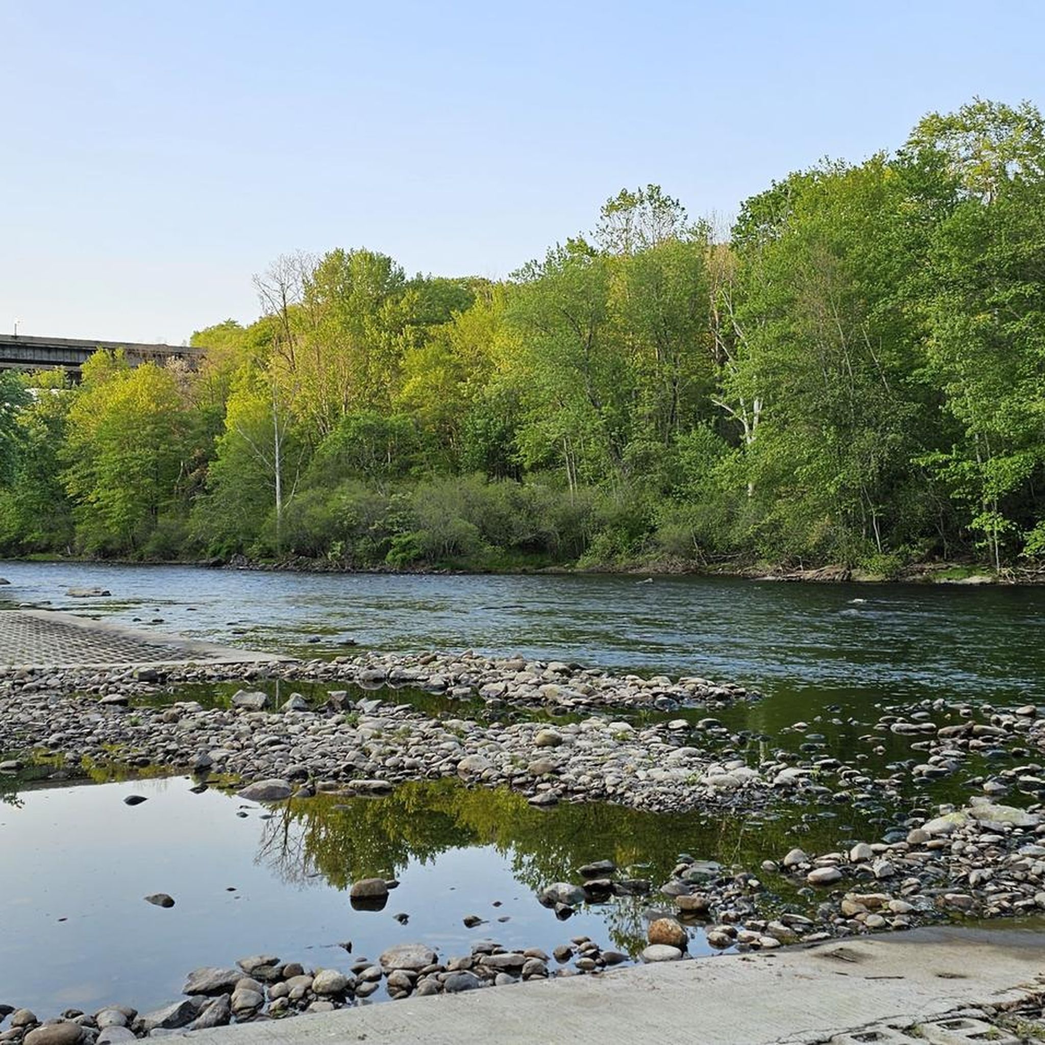
This charming town is the northernmost starting point for Lehigh Gorge State Park. It is a popular destination due to its access to hiking and biking trails converted from former railway lines along the beautiful Lehigh River. There are several great local restaurants close to the trails, making it the perfect place to start and finish a hike through the breathtaking Lehigh Gorge.
0
0

Nescopeck State Park is centered around Nescopeck Creek, which runs between Mount Yeager and Nescopeck Mountain. You'll find forests and wetlands across the parks 3,550 acres and aside from the network of hiking trails the park is also known for great fishing, and XC skiing in the winter months.
0
0
Natural Lands' Bear Creek Preserve is nearly 4,000 acres of woodlands and stream valleys. It's home to a wide array of wildlife including black bear, gray foxes, and the endangered Northern flying squirrel. A dizzying array of birds makes the Preserve home, or a welcome stop along their migratory routes.
0
0
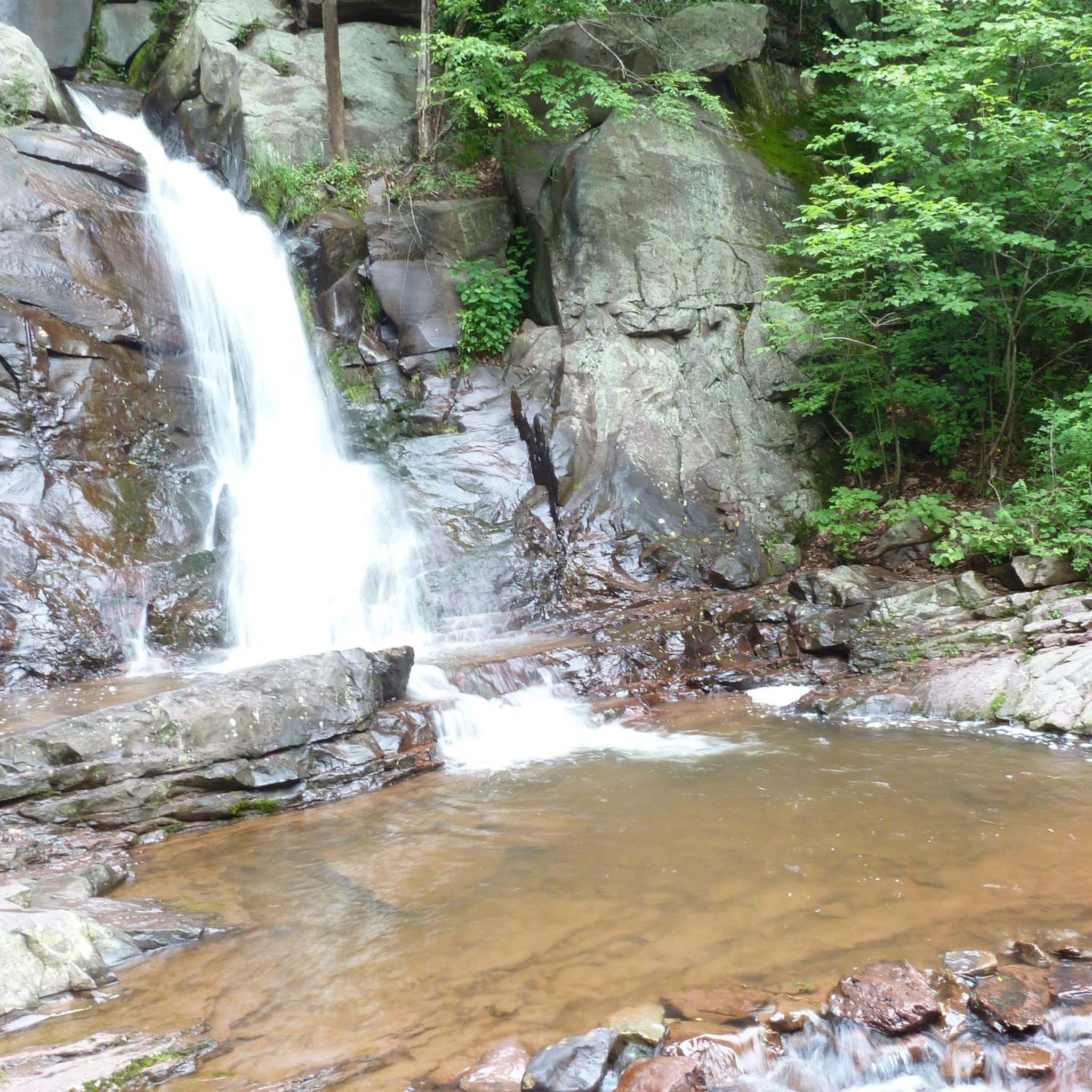
Rockport serves as the central gateway to Lehigh Gorge State Park. The trail that runs through the gorge is beautiful and can be ridden on most bikes, as it's made up of well packed gravel/crushed rock. Even if you don't have the time or equipment to tackle the trail it's worth a short stop and walk to the two closest water falls, Buttermilk and Luke's Falls.
1
0
White Haven is named after Josiah White, who was instrumental in the transport of all the coal and lumber that was produced here in the early to mid 1800s. These days it's a quiet town by the Lehigh River and is a popular place to begin or end a journey through the Lehigh Gorge. Though the trail through the gorge isn't paved it's generally in decent shape and can be ridden on most bikes.
0
0
Nescopeck State Park is centered around Nescopeck Creek, which runs between Mount Yeager and Nescopeck Mountain. You'll find forests and wetlands across the parks 3,550 acres and aside from the network of hiking trails the park is also known for great fishing, and XC skiing in the winter months.
0
0
Nescopeck State Park is centered around Nescopeck Creek, which runs between Mount Yeager and Nescopeck Mountain. You'll find forests and wetlands across the parks 3,550 acres and aside from the network of hiking trails the park is also known for great fishing, and XC skiing in the winter months.
1
0
Pinchot State Forest covers 50,000 acres across 5 counties in the mountains of Pennsylvania. The forest offers excellent hiking and biking, as well camping, fishing, and hunting.
0
0
Frequently Asked Questions
What is the general difficulty level for road cycling in Lehigh Gorge State Park?
Road cycling in Lehigh Gorge State Park is generally accessible, with routes suitable for various skill levels. The terrain primarily follows an abandoned railroad grade, offering a mostly flat surface. Many routes feature a gentle 2% downhill grade when traveling south from White Haven to Jim Thorpe, making for a pleasant experience. This guide includes 1 easy route and 3 moderate routes.
Are there family-friendly road cycling routes in Lehigh Gorge State Park?
Yes, the mostly flat and multi-use surface of the trails, particularly the Lehigh Gorge Trail, makes them suitable for families. The gentle downhill grade when heading south from White Haven to Jim Thorpe is also ideal for a relaxed family ride. Wide tires are recommended due to the trail's surface.
What kind of natural features and attractions can I expect to see along the road cycling routes?
The routes in Lehigh Gorge State Park offer stunning views of the deep, steep-walled gorge carved by the Lehigh River, with thick vegetation and dramatic rock outcroppings. You can expect to see the Lehigh River itself, numerous waterfalls like Buttermilk Falls and Luke's Falls, and the Francis E. Walter Dam at the northern end of the park. The landscape also features remnants of the region's rich coal mining history, such as the Abandoned Coal Tunnel.
Are there any loop routes available for road cyclists?
Yes, there are several loop options. For instance, the D&L Trail loop from Walter Dike Number One is a popular 42.6-mile route offering extensive views. Another option is the White Haven to Frances Walter Dam loop, which is 16.0 miles long and explores the northern part of the park.
What is the best time of year to go road cycling in Lehigh Gorge State Park?
Lehigh Gorge State Park offers beautiful scenery throughout the year. Spring brings lush greenery and flowing waterfalls, while autumn showcases vibrant fall foliage, making it a particularly scenic time for a ride. Always check local weather conditions before heading out.
Is parking available near the road cycling trails?
Yes, parking is available at various access points along the Lehigh Gorge Trail. Popular starting points like White Haven and Jim Thorpe offer convenient parking options for cyclists looking to explore the park's routes.
Can I rent bicycles or arrange shuttle services in the area?
Yes, bicycle rentals and shuttle services are readily available in the towns surrounding Lehigh Gorge State Park, such as Jim Thorpe and White Haven. These services offer convenient access to different sections of the trail and facilitate one-way trips, especially for those wanting to take advantage of the gentle downhill grade from White Haven to Jim Thorpe.
Are there any specific permits required for road cycling in Lehigh Gorge State Park?
Generally, no specific permits are required for cycling on the multi-use trails within Lehigh Gorge State Park for day use. However, it's always a good idea to check the official Pennsylvania DCNR website for any updated regulations or specific requirements for certain activities or areas within the park. You can find more information at pa.gov/agencies/dcnr/recreation/where-to-go/state-parks/find-a-park/lehigh-gorge-state-park/biking.
What is the longest road cycling route featured in this guide?
The longest road cycling route in this guide is the D&L Trail loop from Walter Dike Number One, which spans 42.6 miles (68.5 km) and typically takes around 3 hours and 22 minutes to complete.
Are there amenities like cafes or pubs near the road cycling routes?
The towns adjacent to Lehigh Gorge State Park, such as White Haven and Jim Thorpe, offer various amenities including cafes, pubs, and accommodation options. These towns serve as excellent starting or ending points for your cycling adventures, providing places to refuel and relax.
What makes the Lehigh Gorge Trail unique for road cycling?
The Lehigh Gorge Trail, a significant part of the larger Delaware and Lehigh (D&L) National Heritage Corridor Trail, is unique for its mostly flat, multi-use surface built on an abandoned railroad grade. A distinctive feature is the gentle 2% downhill grade when traveling south from White Haven to Jim Thorpe, offering a particularly enjoyable and less strenuous ride through the scenic gorge.
Most popular routes in Lehigh Gorge State Park
Most popular attractions in Lehigh Gorge State Park

Get inspired with the komoot mobile app


Explore more
Browse the best Road cycling routes in other regions.
