The best walks and hikes around Hüttisheim
4.5
(1993)
12,931
hikers
16
hikes
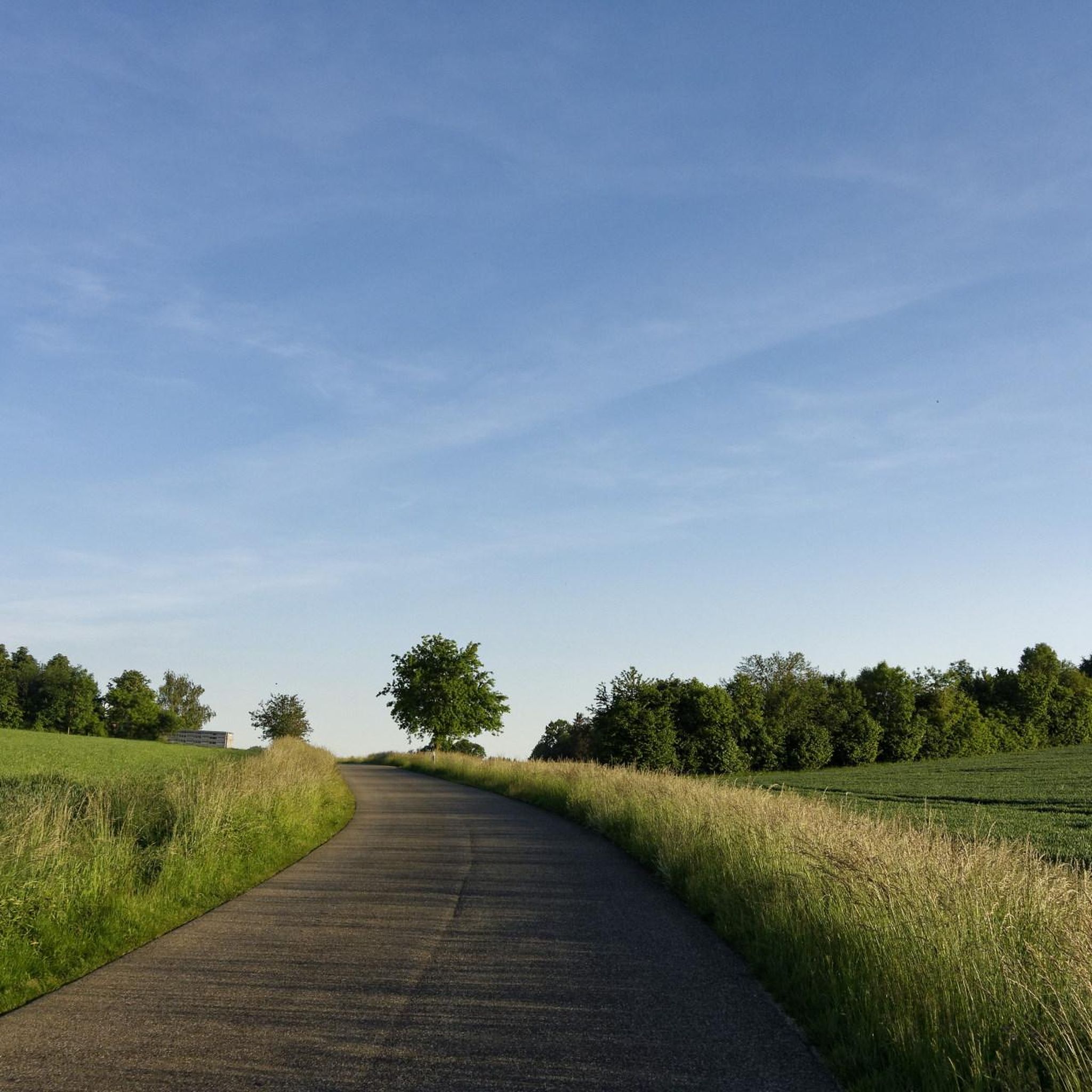
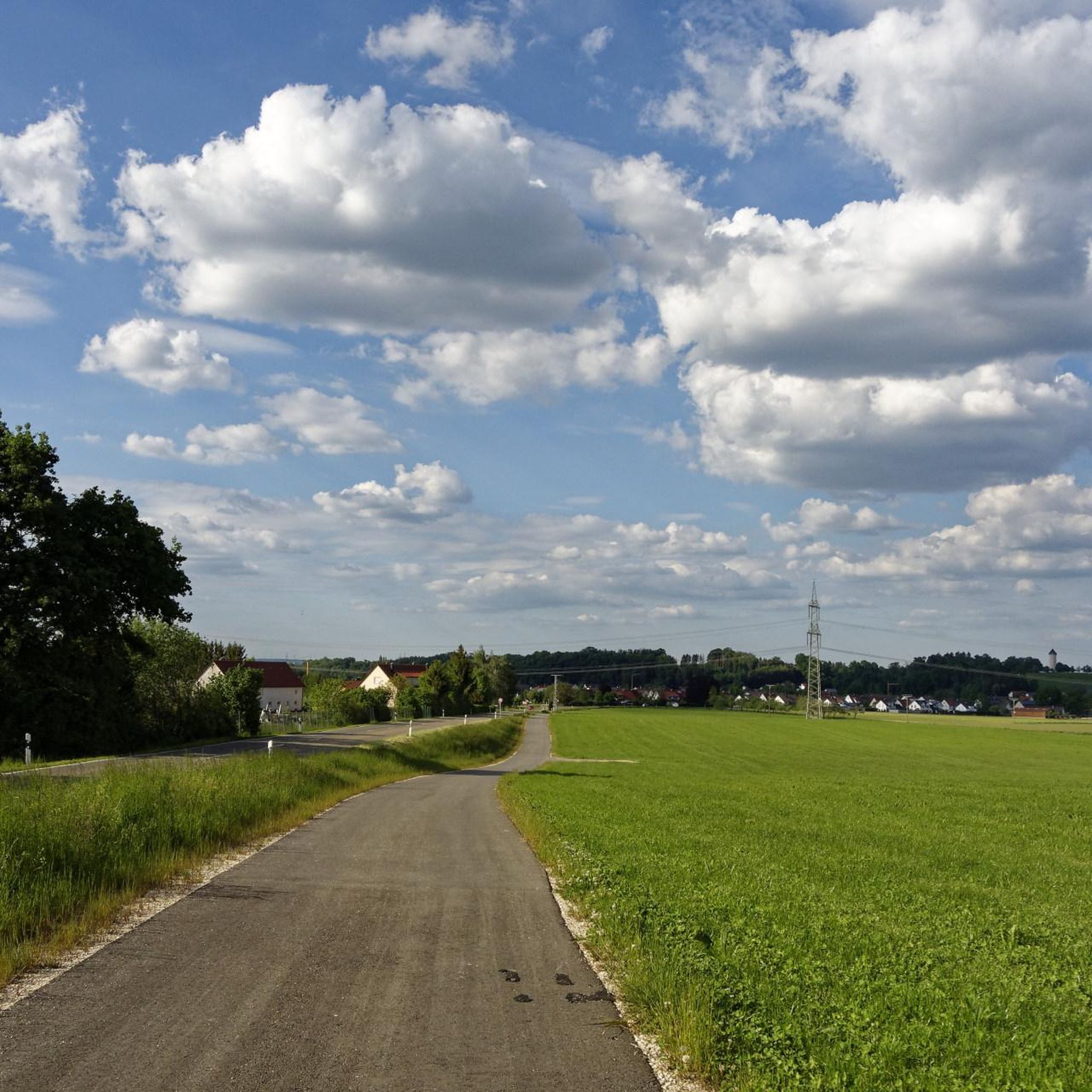
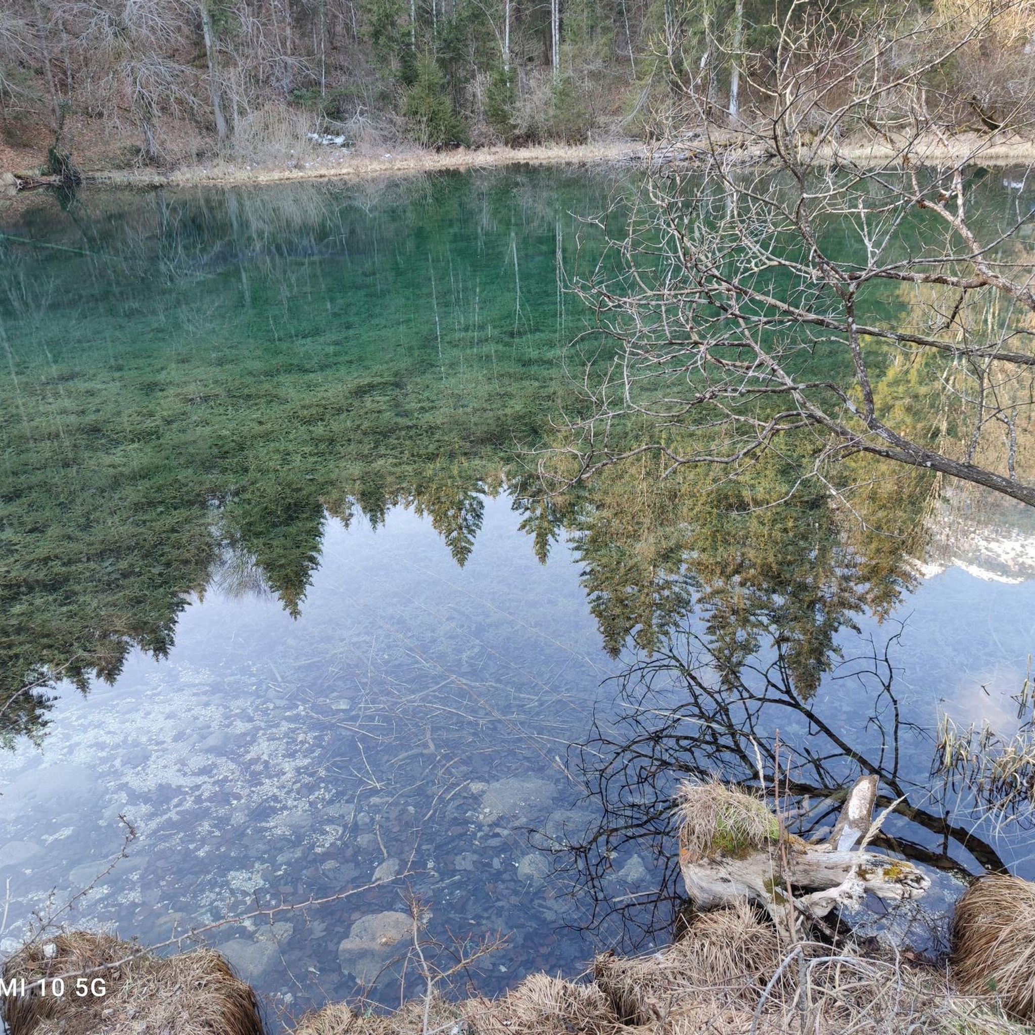
Hiking around Hüttisheim offers diverse landscapes in the Baden-Württemberg region of Germany. The area is characterized by its Oak Mixed Forests, providing shaded paths, and features several water bodies, including the Oberer Rennenbachweiher. Minimal elevation changes define many of the trails, making them accessible for various fitness levels. The region also includes ecological points of interest such as a biotope created by beavers near Kulturstadel.
Best hiking trails around Hüttisheim
- The most popular hiking route is Old Boundary Stones Memorial…
Last updated: September 29, 2026
5.0
(1)
9
hikers
Easy hike. Great for any fitness level. Easily-accessible paths. Suitable for all skill levels.
8
hikers
Easy hike. Great for any fitness level. Easily-accessible paths. Suitable for all skill levels.

5
hikers
4.23km
01:05
20m
20m
Easy hike. Great for any fitness level. Easily-accessible paths. Suitable for all skill levels.
5.0
(1)
5
hikers
6.24km
01:37
40m
40m
Easy hike. Great for any fitness level. Easily-accessible paths. Suitable for all skill levels.
8
hikers
Easy hike. Great for any fitness level. Easily-accessible paths. Suitable for all skill levels.
Get access to more routes and recommendations from other explorers.
Already have an account?
Our route recommendations are based on thousands of hikes, rides, and runs completed by other people on komoot.
Start today with a free account
Your next adventure awaits.
Tips from the Community

Almost impossible to reach as it is poorly signposted and the paths are not recognizable.
0
0
There are also boundary stones there... I suspect they belong to Wiblingen Abbey.
0
0

Refreshment after the hike with coffee and cake
0
0

Here is a signpost to Käppelesfeld, the site of the village of Witzighofen that once stood here. A board explains everything in a way that is easy to understand. The actual village and the memorial cross on the parish church are about 500 m to the south-west in a clearing in the forest.
1
0


Old "homeless" collected old boundary stones from the area.
1
0
Frequently Asked Questions
What kind of landscapes can I expect to see while hiking around Hüttisheim?
Hüttisheim offers a diverse landscape characterized by extensive Oak Mixed Forests, providing shaded paths ideal for hiking. You'll also encounter various water bodies, most notably the Oberer Rennenbachweiher, and the broader region features the significant confluence of the Iller and Danube rivers. Keep an eye out for ecological points of interest, such as the beaver-created biotope near Kulturstadel.
Are there many easy hiking trails suitable for beginners in Hüttisheim?
Yes, Hüttisheim is an excellent area for beginners and those seeking relaxed outings. Out of the around a dozen hiking routes available, 9 are classified as easy, featuring minimal elevation changes and easily accessible paths. These trails are designed for a range of skill levels, making them ideal for casual strolls.
Are there any circular hiking routes available in Hüttisheim?
Many of the trails around Hüttisheim are designed as convenient loops. For example, the Old Boundary Stones Memorial – Oberer Rennenbachweiher loop is an easy 4.5 km circular route that takes about 1 hour 10 minutes. Another popular option is the Kulturstadel – Oak Mixed Forest Trail loop, which is 4.2 km long and guides you through beautiful woodland.
What are some interesting natural features or landmarks to look out for on the trails?
Hikers can discover several unique features. The Old Boundary Stones Memorial – Oberer Rennenbachweiher loop features historical boundary markers and circles the scenic Oberer Rennenbachweiher. Near Kulturstadel, you can observe a fascinating biotope created by beavers. Further afield, the broader region is known for the impressive Confluence of the Iller and Danube rivers.
Are the hiking trails in Hüttisheim suitable for families with children?
Absolutely. Many trails in Hüttisheim are specifically noted for being family-friendly due to their easy difficulty and minimal elevation gain. Routes like the Kulturstadel loop from Hüttisheim, at 6.2 km, offer varied terrain that is still manageable for most families, often completed in under two hours.
Can I bring my dog on the hiking trails in Hüttisheim?
The trails around Hüttisheim are generally welcoming for dogs. The natural environment, with its forests and open paths, provides a great setting for walks with your canine companion. Always ensure your dog is under control, and be mindful of local regulations regarding leashes, especially near wildlife or agricultural areas.
What do other hikers say about the trails in Hüttisheim?
The hiking routes in Hüttisheim are highly regarded by the komoot community, boasting an average rating of 4.5 stars from over 1,600 reviews. Hikers often praise the well-maintained paths, the peaceful atmosphere of the Oak Mixed Forests, and the accessibility of the trails for various fitness levels.
Are there any historical sites or castles near Hüttisheim that I can visit after a hike?
Yes, the region around Hüttisheim offers several historical attractions. You could explore the Fort Upper Kuhberg, or enjoy a View of Erbach Castle (Danube). Other notable castles in the vicinity include Großlaupheim Castle and Lower Castle Öpfingen, offering glimpses into the region's rich history.
Is there parking available at the trailheads in Hüttisheim?
While specific parking details for every trailhead are not provided, the area is generally accessible. Many routes, especially those starting directly from Hüttisheim or nearby villages like Donaustetten, typically have designated parking areas or roadside options available for hikers. It's advisable to check local signage upon arrival.
What is the best time of year to go hiking in Hüttisheim?
Hüttisheim's diverse landscapes, particularly its Oak Mixed Forests, make it enjoyable for hiking across multiple seasons. Spring and autumn offer pleasant temperatures and beautiful foliage, while summer provides shaded paths within the forests. Even in winter, the minimal elevation changes can make for accessible, crisp walks, though conditions should always be checked.
Are there any longer hiking options for more experienced hikers?
While many trails are easy, there are options for slightly longer walks. For instance, the Old Boundary Stones Memorial – Oberer Rennenbachweiher loop from Weiher im Gewann Unterer Rübacker extends to about 7 km and takes around 1 hour 50 minutes, offering a more extended exploration of the area's natural and historical features.
Most popular attractions around Hüttisheim

Get inspired with the komoot mobile app


Explore more
Browse the best Hikes in other regions.
