West Rock Ridge State Park
West Rock Ridge State Park
The best road cycling routes in West Rock Ridge State Park
5.0
(82)
1,553
riders
97
rides
Road cycling in West Rock Ridge State Park is characterized by its prominent trap rock ridge, which spans over 7 miles and rises from 400 to 715 feet, offering varied terrain. The park encompasses over 1,700 acres, providing a mix of forested areas and exposed cliffs. Cyclists can utilize designated car-free routes like Baldwin Drive, which extends along the ridge crest, and seasonally accessible roads such as Regicide Drive. This geological formation, part of the Metacomet Ridge, features continuous impressive…
Last updated: June 29, 2026
4
riders
37.4km
01:47
430m
430m
Moderate road ride. Good fitness required. Mostly well-paved surfaces and easy to ride.
3
riders
36.6km
01:42
460m
460m
Moderate road ride. Good fitness required. Mostly well-paved surfaces and easy to ride.

Sign up for free
3
riders
61.3km
02:55
750m
750m
Moderate road ride. Good fitness required. Some segments of this route may be unpaved and difficult to ride.
4.8
(20)
131
riders
48.4km
01:56
170m
170m
Easy road ride. Great for any fitness level. Mostly well-paved surfaces and easy to ride.
5.0
(2)
23
riders
Easy road ride. Great for any fitness level. Mostly well-paved surfaces and easy to ride.
Get access to more routes and recommendations from other explorers.
Sign up for free
Already have an account?
Our route recommendations are based on thousands of hikes, rides, and runs completed by other people on komoot.
Start today with a free account
Your next adventure awaits.
Login or Signup
Popular around West Rock Ridge State Park
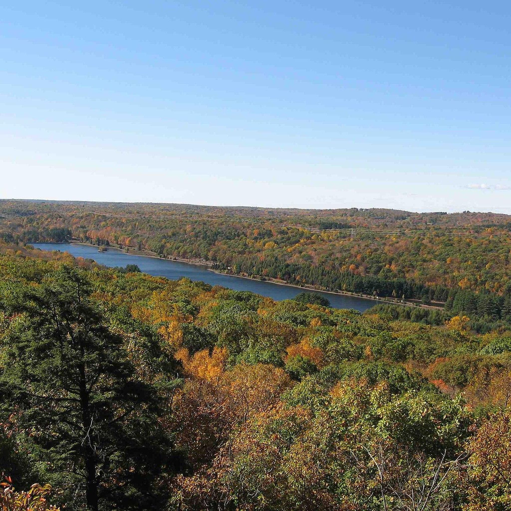
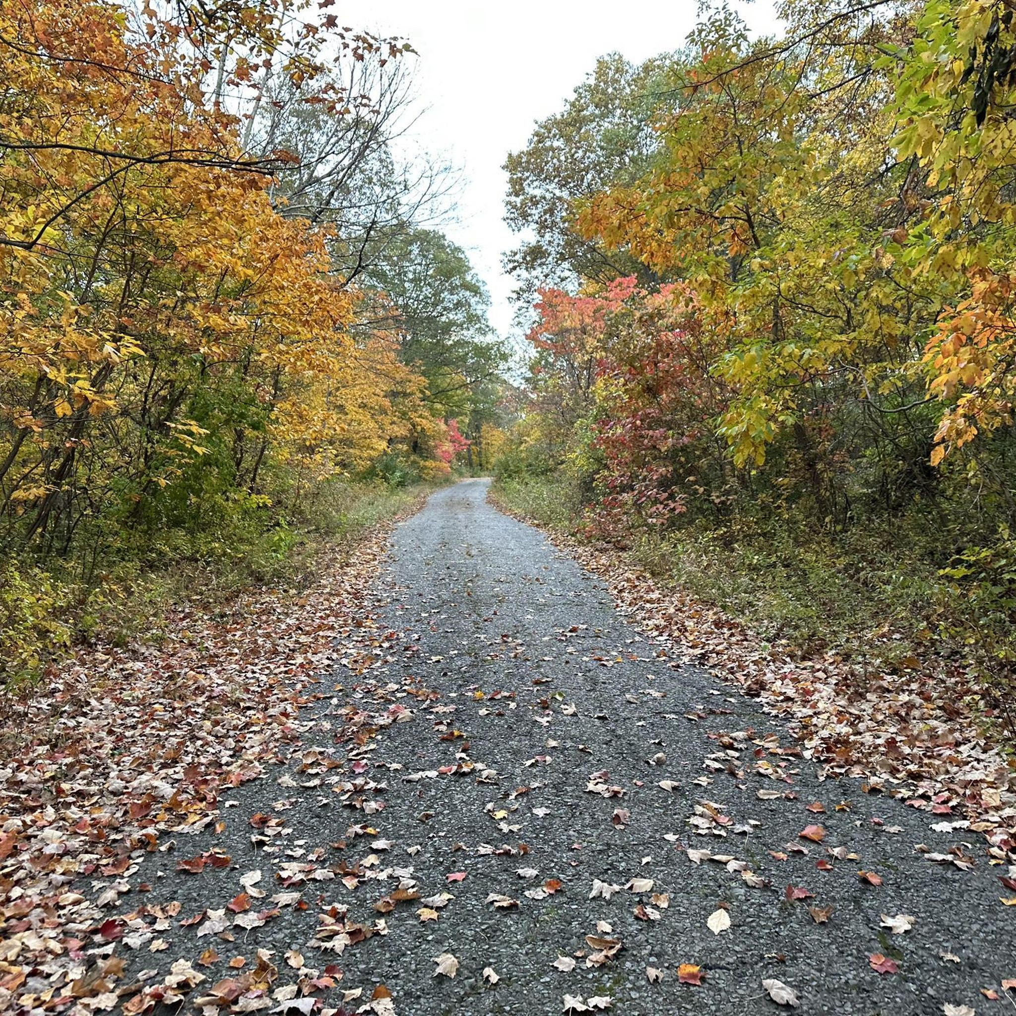
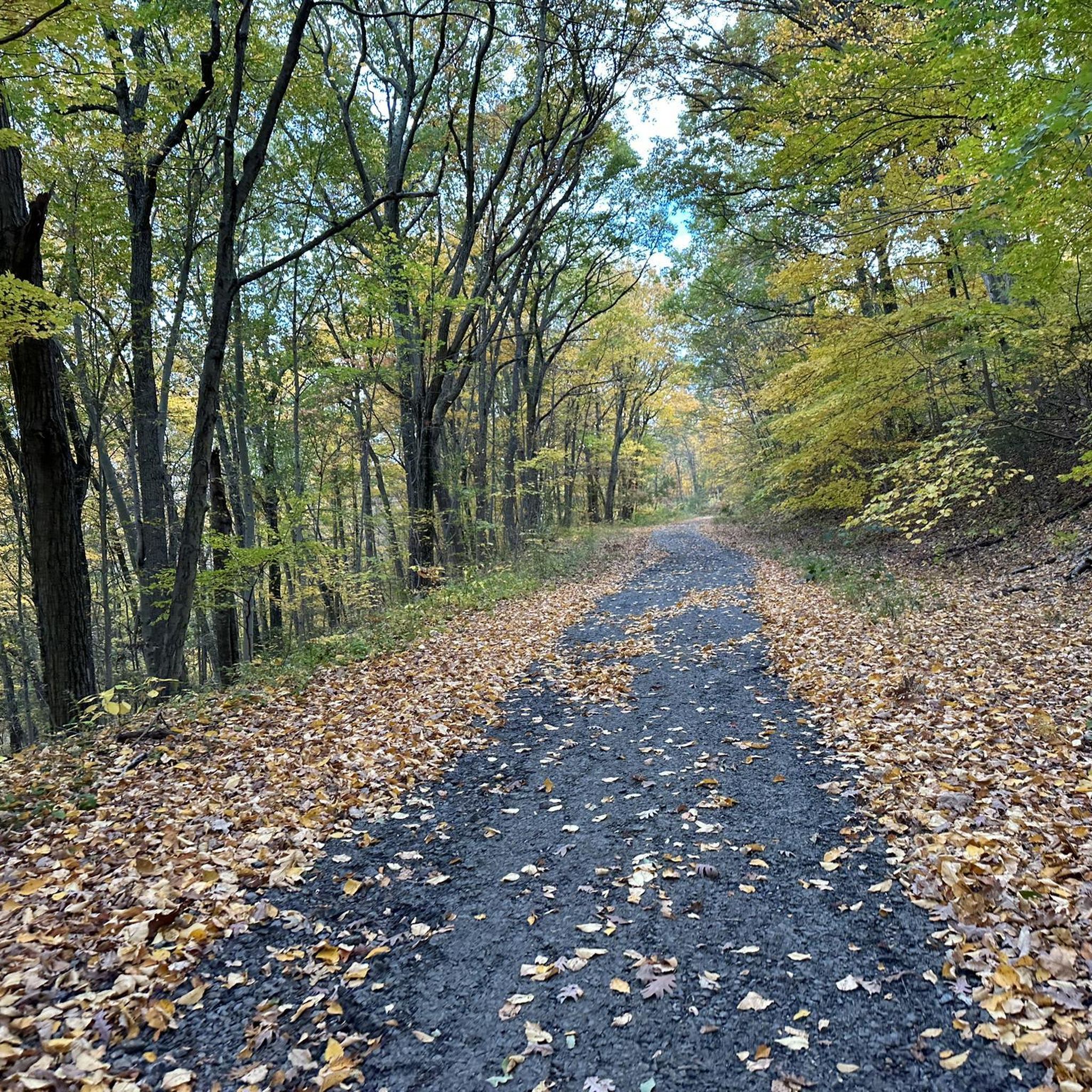
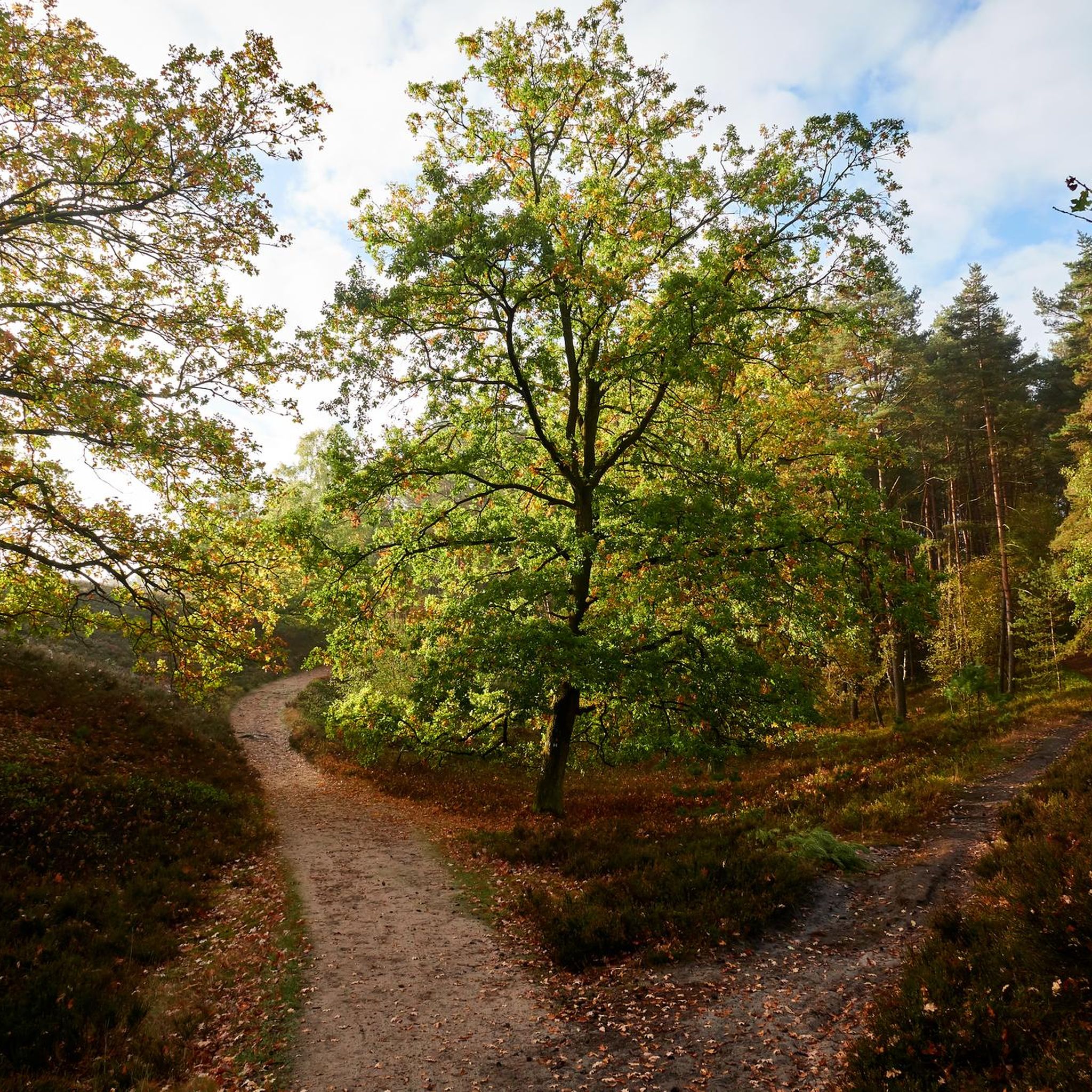
Tips from the Community


The Milton Train Depot was built in 1882 and remains today as a refurbished, one-room station.
0
0

The obvious, tree-covered hill to your northeast, on the far side of the Mill River, is Sleeping Giant, which looks like the head of the giant when viewed from the right angle. You can also bike north or south from here on the Farmington Heritage Canal, which is part of the East Coast Greenway.
0
0

The Derby Greenway is a multi-use trail that winds along the Naugatuck River in Derby, Connecticut. The paved pathway is wheelchair accessible and is a popular location for hiking, running, cycling, and rollerblading. It passes through natural landscapes, parks, and urban areas.
1
0
The Southford Falls, located in the State Park of the same name, is a picturesque waterfall in a beautiful natural setting. Jump off the bike to take a look.
0
0

Being such a long path, the Farmington Canal Heritage Trail passes through a bunch of different parks, neighborhoods, and different ecosystems. This section between the Cran Preserve and Sleeping Giant State Park is one of the quieter stretches of trail with lots of tree cover and a stream next to the trail the entire time.
2
0
The Farmington Canal Heritage Trail runs for 56 miles, then blends into the Farmington River Trail for another 18 miles. Together, the two walking and biking trails make a picturesque greenway that runs through eleven different towns.
0
0
Frequently Asked Questions
How many road cycling routes are available in West Rock Ridge State Park?
West Rock Ridge State Park offers a wide selection of road cycling routes, with over 100 options available. These routes cater to various skill levels, including 41 easy, 54 moderate, and 8 difficult trails.
What kind of terrain can I expect when road cycling in West Rock Ridge State Park?
The park is defined by its prominent trap rock ridge, part of the Metacomet Ridge, which rises from 400 to 715 feet. This means you can expect varied terrain with challenging climbs and rewarding descents, offering continuous impressive views. Some routes, like Baldwin Drive, are car-free and feature mostly paved surfaces ideal for road bikes.
Are there any car-free roads for road cycling in West Rock Ridge State Park?
Yes, Baldwin Drive is a 5.6-mile road along the ridge crest that is permanently open for non-motorized use only, providing an excellent car-free experience for road cyclists. Regicide Drive is also accessible, though it is open to vehicle traffic seasonally.
What are some notable landmarks or viewpoints I can see along the road cycling routes?
The park offers breathtaking panoramic vistas from its ridgeline. You can enjoy sweeping sights of New Haven, Long Island Sound, and other distant hills. Specific points of interest include the South Overlook, which provides views up to 200 square miles, and the historically significant Judges Cave. The picturesque Lake Wintergreen is also within the park.
Are there any family-friendly road cycling options in West Rock Ridge State Park?
While the park offers varied terrain, there are 41 easy routes that could be suitable for families or those looking for a less strenuous ride. Routes like View of Sleeping Giant – Granite Hill view loop from Timberwood Trail, which is 20.8 km with moderate elevation gain, provide a good option for a more relaxed outing.
What is the best time of year to go road cycling in West Rock Ridge State Park?
The park's scenic beauty can be enjoyed throughout the warmer months. While Regicide Drive is open to vehicles seasonally from Memorial Day weekend until the last weekend in October, cycling during off-peak times or when the road is less busy can be ideal. Spring and fall often offer pleasant temperatures and vibrant foliage, enhancing the riding experience.
Where can I find parking when visiting West Rock Ridge State Park for road cycling?
Access points to the park, such as those near Wintergreen Avenue, typically offer parking facilities. It's advisable to check the specific access points for your chosen route to confirm parking availability, especially during peak seasons.
What do other road cyclists enjoy most about road cycling in West Rock Ridge State Park?
The area is highly rated by the komoot community, with an average score of 4.8 stars from over 50 reviews. Cyclists often praise the continuous 'jawdropping vistas' from the ridgeline, the diverse terrain offering both challenging climbs and rewarding descents, and the availability of car-free sections like Baldwin Drive.
Are there any loop routes for road cycling in the park?
Yes, many routes in West Rock Ridge State Park are designed as loops, allowing you to start and end at the same point. For example, the Lake Bethany Dam – Town of Woodbridge loop from Yale Bowl offers a moderate 36.6 km ride around Lake Bethany Dam and through the Town of Woodbridge.
What are some options for longer, more challenging road cycling routes?
For those seeking a longer and more challenging ride, the park offers several options. The Prospect Hill – Derby Hill loop from Yale Bowl is a moderate 62.0 km trail that takes you through Prospect Hill and Derby Hill, typically completed in under three hours, featuring significant elevation changes.
Can I find routes with less crowded sections for a more peaceful ride?
While popular, the park's extensive network of over 100 routes means you can often find quieter sections, especially on weekdays or during off-peak hours. Focusing on the permanently car-free Baldwin Drive can also provide a more serene cycling experience away from vehicle traffic.
Are there any easy road cycling routes for those new to the sport?
Absolutely. The park features 41 easy routes perfect for beginners or those looking for a relaxed ride. An example is the Granite Hill view – Bass Tower - Yale loop from New Haven County, an easy 27.0 km route with minimal elevation gain, ideal for getting started.
Most popular routes in West Rock Ridge State Park
Most popular attractions in West Rock Ridge State Park

Get inspired with the komoot mobile app


Explore more
Browse the best Road cycling routes in other regions.
