Mount Holyoke Range State Park Cr
Mount Holyoke Range State Park Cr
The best road cycling routes in Mount Holyoke Range State Park Cr
3.6
(22)
862
riders
118
rides
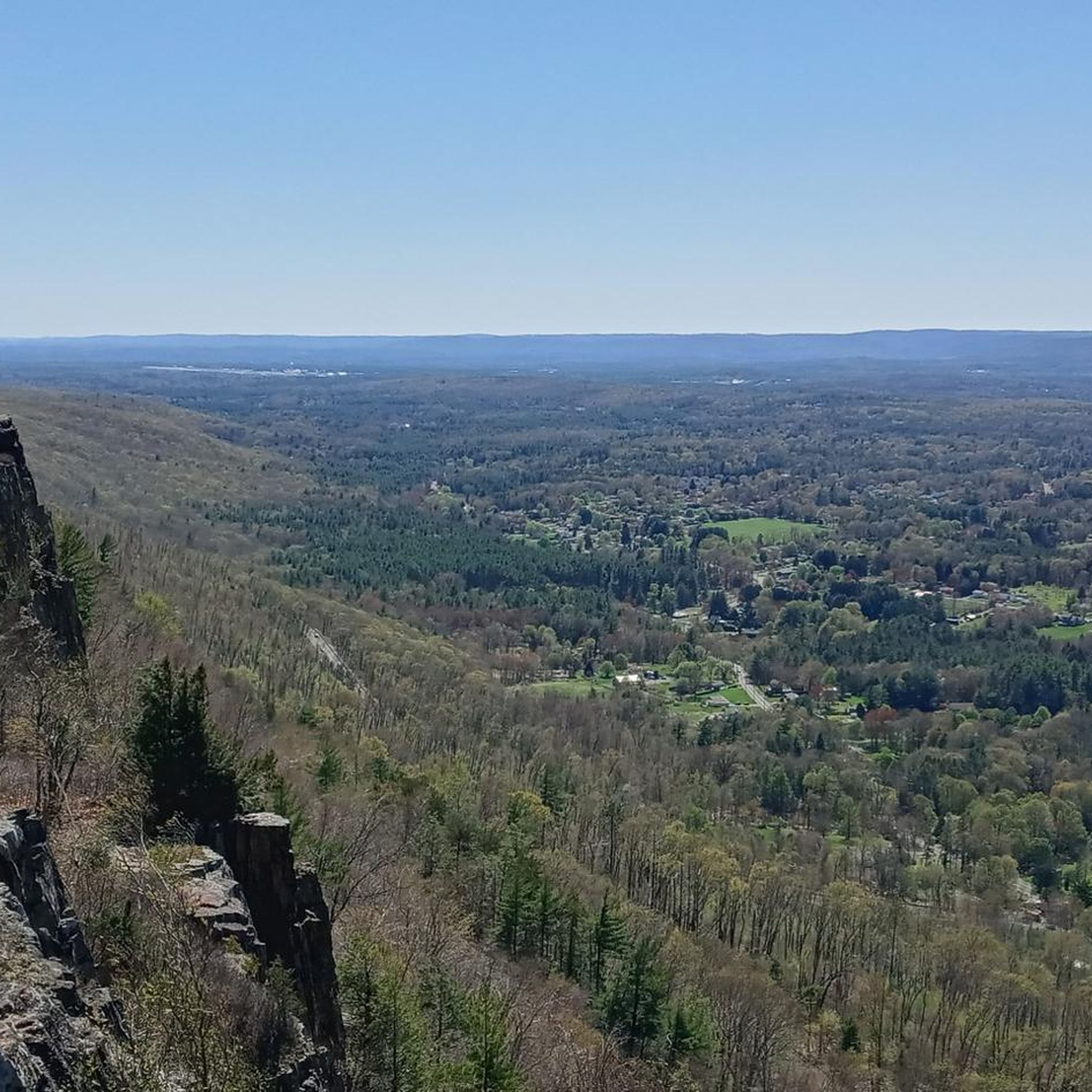
Road cycling in Mount Holyoke Range State Park Cr offers diverse landscapes across its 3,000 acres in Western Massachusetts. The region is characterized by a prominent 7-mile mountain ridgeline, providing expansive views of the Pioneer Valley. Road cyclists can find challenging paved climbs, such as the auto road to Mount Holyoke, alongside scenic country roads that often follow the Connecticut River. The park's geology features distinctive basaltic formations and varied ecosystems.
Best road cycling routes in Mount Holyoke Range State…
Last updated: October 2, 2026
3.0
(1)
20
riders
Easy road ride. Great for any fitness level. Mostly well-paved surfaces and easy to ride.
15
riders
Moderate road ride. Good fitness required. Mostly well-paved surfaces and easy to ride.

5.0
(1)
74
riders
Easy road ride. Great for any fitness level. Mostly well-paved surfaces and easy to ride.
33
riders
Moderate road ride. Good fitness required. Mostly well-paved surfaces and easy to ride.
23
riders
Moderate road ride. Good fitness required. Mostly well-paved surfaces and easy to ride.
Get access to more routes and recommendations from other explorers.
Already have an account?
Our route recommendations are based on thousands of hikes, rides, and runs completed by other people on komoot.
Start today with a free account
Your next adventure awaits.
Popular around Mount Holyoke Range State Park Cr


Tips from the Community

Nice paved rail trail with beautiful scenery. The pavement is pretty new but there are a few cracks so take it easy if you've got really narrow tires.
0
0
great paved foot/cycle path.
0
0

The Connecticut River Greenway connects quite a few parks that are situated along the Connecticut River. There are about 8 parks along this greenway as you follow it across the state.
0
0

This multi-tiered roadside waterfall isn't very large, but it's quite pretty.
0
0


With forests, brooks, swamps, meadows, and wetlands, the Topping Farm Conservation Area really is a haven for the plants and animals that call the property their home. A few different paved roads wind around the area and offer views of the nature preserve from the roadside.
0
0

This is a great section of the Norwottuck Rail Trail. It winds through beautiful pine forests and wetlands. The trail is completely off the road, so you should have a comfortable traffic-free ride.
1
0

This section of the rail trail, from the top of the hill in Amherst to the end of the trail in Belchertown, includes this crossing of the fort river and goes through a lot of beautiful wetlands
0
0
Frequently Asked Questions
How many road cycling routes are available in Mount Holyoke Range State Park Cr?
Mount Holyoke Range State Park Cr offers a wide selection of road cycling routes, with over 115 options available. These routes cater to various fitness levels, including 40 easy, 61 moderate, and 16 difficult trails.
What is the best time of year for road cycling in Mount Holyoke Range State Park Cr?
The fall foliage season is particularly spectacular for road cycling in Mount Holyoke Range State Park Cr, offering vibrant colors and expansive views of the Pioneer Valley. The paved auto road to Mount Holyoke, a significant draw for cyclists, is open seasonally.
Are there challenging climbs for experienced road cyclists in the park?
Yes, experienced road cyclists will find challenging climbs. A notable option is the paved auto road to the peak of Mount Holyoke, located within Joseph Allen Skinner State Park. This 1.8-mile climb gains approximately 768 feet with an average grade of 8.1%, and sections reaching over 12%.
Are there any scenic viewpoints or landmarks along the road cycling routes?
Road cycling routes in the park offer numerous scenic viewpoints. The 7-mile traprock ridgeline provides panoramic views of the Pioneer Valley and the Connecticut River. The historic Holyoke Summit House at the top of Mount Holyoke is a popular spot for 360-degree vistas, especially during autumn.
What kind of terrain can I expect on road cycling routes in Mount Holyoke Range State Park Cr?
You can expect diverse terrain, from challenging paved climbs to scenic country roads. Many routes feature well-paved surfaces and often follow the eastern shore of the Connecticut River, offering picturesque views of the range and the river. The park's geology includes distinctive basaltic formations and varied ecosystems.
Are there road cycling routes suitable for beginners or those looking for an easier ride?
Yes, there are plenty of options for easier rides. For instance, the Norwottuck Rail Trail Bridge – Norwottuck Rail Trail Bridge loop from Mill River Division is an easy 18.0-mile trail with minimal elevation gain. Another easy route is the Fort River Bridge – Topping Farm Conservation Area loop from Batchelor Brook Area, a pleasant 25.5-mile loop.
Can I find routes with significant elevation gain in the park?
Absolutely. For those seeking significant elevation gain, the Arcadia Wildlife Sanctuary – Rubber Thread Pond loop from Mill River Division is a moderate 44.7-mile path that features over 500 meters of ascent and offers scenic views. Additionally, the paved auto road to Mount Holyoke provides a challenging climb.
Is the Norwottuck Rail Trail suitable for road biking?
Yes, the Norwottuck Rail Trail is well-suited for road biking. It is a popular route for local cyclists, offering varied terrain and a relatively flat profile, making it enjoyable for many skill levels. The Norwottuck Rail Trail Bridge – Norwottuck Rail Trail Bridge loop from Mill River Division is an example of a route utilizing this trail.
Is there specific access information for cycling to the Mount Holyoke summit?
The paved auto road to the peak of Mount Holyoke is open seasonally to cyclists. It is a challenging but rewarding climb. Cyclists should check local park regulations for specific operating hours and any potential access restrictions before planning their ride.
What do other road cyclists say about their experience in Mount Holyoke Range State Park Cr?
The road cycling routes in Mount Holyoke Range State Park Cr are highly rated by the komoot community, with an average score of 3.5 stars from nearly 20 reviews. Over 600 road cyclists have explored the varied terrain, often praising the scenic country roads and panoramic viewpoints.
Are there family-friendly road cycling options in the park?
While the park offers challenging climbs, there are also easier, flatter sections suitable for families. The Norwottuck Rail Trail, for example, provides a generally level and safe environment for family rides. Routes like the Fort River Bridge – Topping Farm Conservation Area loop from Batchelor Brook Area are also considered easy and pleasant for a family outing.
Are there places to eat or stay near the road cycling routes?
The Mount Holyoke Range State Park area is surrounded by towns in the Pioneer Valley, offering various cafes, pubs, and accommodation options. You'll find amenities in nearby communities like Northampton, Amherst, and South Hadley, which are convenient starting points or stops for many routes.
What are the parking options for road cyclists in Mount Holyoke Range State Park Cr?
Parking is available at various access points to the park and its trails. The Notch Visitor's Center is a common starting point for many routes, and other trailheads and state park facilities typically offer parking. It's advisable to check specific route descriptions for recommended parking areas.
Most popular routes in Mount Holyoke Range State Park Cr

Get inspired with the komoot mobile app


Explore more
Browse the best Road cycling routes in other regions.
