Airline State Park Trail (Northern Section)
Airline State Park Trail (Northern Section)
The best running trails in Airline State Park Trail (Northern Section)
5.0
(5)
67
runners
26
runs
Jogging routes in Airline State Park Trail (Northern Section) traverse a landscape characterized by secluded woodlands, tranquil ponds, marshes, and streams. As a former railway line, the trail generally maintains a flat grade, making it suitable for sustained running. Surfaces vary, including compacted earth, crushed rock, gravel, and smooth stone dust, with sections passing through state forests such as Mashamoquet Brook and James L. Goodwin.
Best jogging routes in Airline State Park Trail (Northern Section)
- The most popular jogging route…
Last updated: June 27, 2026
5.0
(3)
9
runners
9.85km
01:13
120m
120m
The Brown Hill Pond loop from Stone Preserve offers a delightful jogging experience through the varied landscapes of the James L. Goodwin State Forest. You'll wind through serene hardwood forests,…
5.0
(2)
7
runners
27.0km
03:21
400m
400m
The Orchard Hill Lookout – CCC Trail loop offers a substantial jogging experience, winding through what could be a mix of natural landscapes and possibly restored areas. Imagine pushing through…

Sign up for free
10
runners
5.41km
00:34
30m
30m
The Putnam River Trail loop offers a delightful blend of riverside scenery and small-town charm, making it a fantastic option for an easy outing. You'll jog along the paved path,…
5
runners
5.04km
00:36
30m
30m
The West Thompson Lake loop from Mechanicsville offers a dynamic jogging experience, winding through a mix of open fields and forested wetlands. You'll encounter paths that can be rocky and…
6
runners
14.1km
01:43
160m
160m
Moderate run. Good fitness required. Mostly paved surfaces. Suitable for all skill levels.
Get access to more routes and recommendations from other explorers.
Sign up for free
Already have an account?
Our route recommendations are based on thousands of hikes, rides, and runs completed by other people on komoot.
Start today with a free account
Your next adventure awaits.
Login or Signup
Popular around Airline State Park Trail (Northern Section)

Tips from the Community

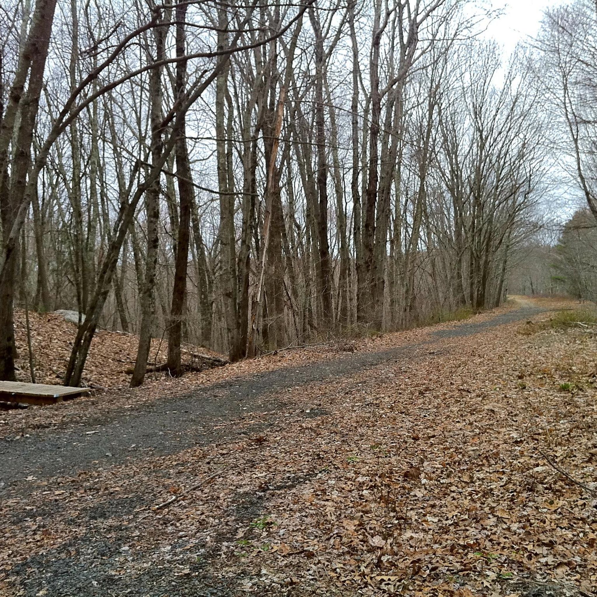
The CCC Trail in the Connecticut Blue Trail System is a 1.2-mile path that concludes at a forestry road. By combining this trail with two forestry roads and a section of the Natchaug Trail, hikers can enjoy a 3.1-mile loop hike.
0
0
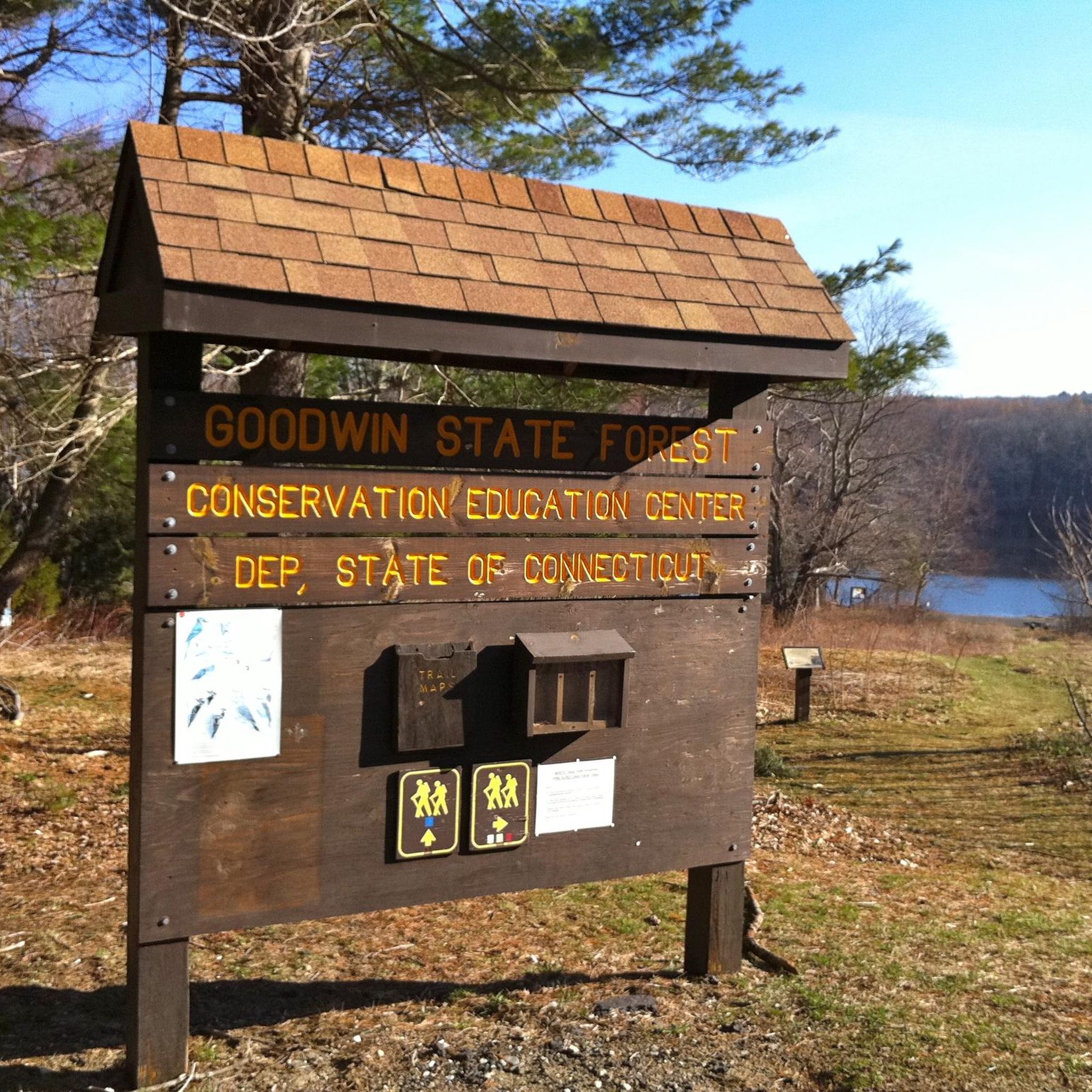
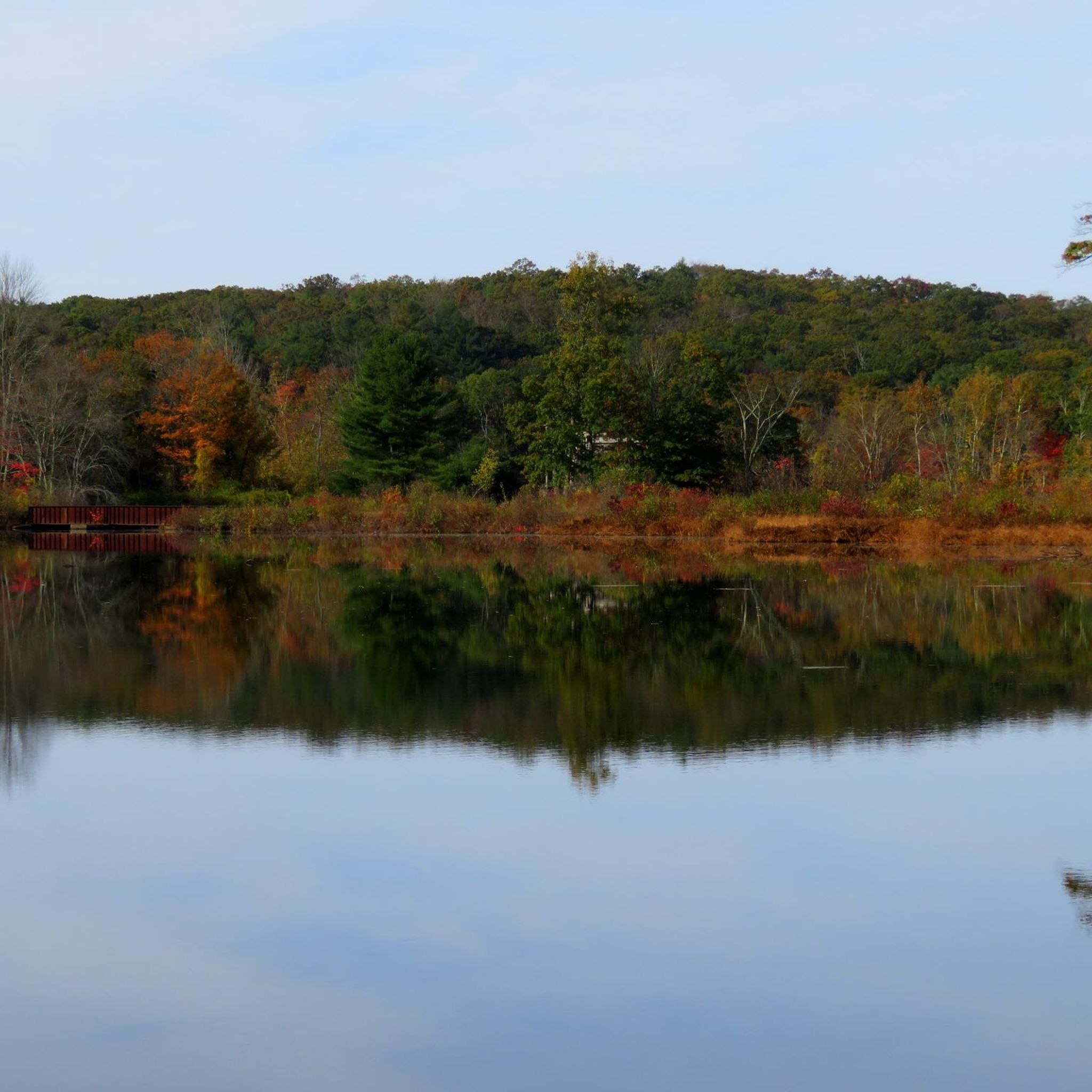
The Governor's Island observation deck, located on Pine Acres Pond, features interpretive signs detailing the lake's history and local wildlife. This platform provides an informative and scenic spot for visitors to enjoy views of the pond while learning about the area's natural and historical significance.
0
0
This scenic viewpoint offers a peaceful setting to sit and enjoy the beauty of the surrounding orchard and landscape.
0
0

The Airline State Park Trail is divided into sections, and the northern section spans 21 miles from Windham to Putnam, making it a popular rail trail among hikers, runners, and bikers.
0
0

The East Coast Greenway is a paved multi-use path that passes through 15 states and is over 3,000 miles long from Maine to Florida.
0
0
The Airline State Park Trail is divided into sections, and the northern section spans 21 miles from Windham to Putnam, making it a popular rail trail among hikers, runners, and bikers.
1
0

Explore a 200-acre lake with 24 campsites, a boat launch, picnic shelters, a disc golf course, and plenty of trails. Join the Rangers for a guided nature walk during Walktober and take in the start of fall foliage while learning some cool trail facts!
1
0
Explore a 200-acre lake with 24 campsites, a boat launch, picnic shelters, a disc golf course, and plenty of trails. Join the Rangers for a guided nature walk during Walktober and take in the start of fall foliage while learning some cool trail facts!
0
0
Frequently Asked Questions
How many running routes are available in the Airline State Park Trail (Northern Section)?
There are over 20 running routes available in the Airline State Park Trail (Northern Section), catering to various fitness levels. You'll find options ranging from easy to difficult, with 14 routes considered moderate.
What kind of surface can I expect on the jogging trails?
The trail's surface varies, including compacted earth, crushed rock, gravel, and stone dust. Sections like the one from Covell Road to Route 169 in Pomfret, and through Goodwin State Forest in Hampton, offer a smooth stone-dust surface ideal for running. However, be aware that the northernmost section from East Thompson to Thompson has original ballast, which is bumpy and rocky.
Are there running routes suitable for beginners in the Airline State Park Trail (Northern Section)?
Yes, the Airline State Park Trail (Northern Section) offers routes suitable for beginners. As a former railway line, many sections maintain a relatively flat grade, making them less strenuous. There are 2 easy routes and 14 moderate routes available, providing good options for those new to trail running.
Are the jogging routes in Airline State Park Trail (Northern Section) suitable for families?
Many sections of the Airline State Park Trail (Northern Section) are suitable for families, especially those with a generally flat grade and smooth surfaces. The immersion in nature, with woodlands, ponds, and opportunities for wildlife viewing, can make for an enjoyable outing for all ages.
Can I bring my dog on the running trails?
Generally, dogs are permitted on trails within state parks and forests in Connecticut, provided they are kept on a leash. It's always a good idea to check specific regulations for the Airline State Park Trail (Northern Section) or any connected state forests like Mashamoquet Brook State Park or James L. Goodwin State Forest before your visit.
Are there any circular running routes in the Airline State Park Trail (Northern Section)?
Yes, many of the running routes in the Airline State Park Trail (Northern Section) are circular. For example, the Brown Hill Pond loop from James L. Goodwin Conservation Center is a popular 6.1-mile loop, and the West Thompson Lake loop from Mechanicsville offers a shorter 3.1-mile circular path.
Where can I park when visiting the Airline State Park Trail (Northern Section)?
Parking is available at various access points along the trail. For instance, you can find parking at the James L. Goodwin Conservation Center for routes like the Brown Hill Pond loop, or near Pine Acres Lake Boat Launch for the Orchard Hill Lookout loop. Other access points often have designated parking areas.
What natural features or landmarks can I see while running?
The Airline State Park Trail (Northern Section) offers diverse natural features. You'll run through secluded woodlands, past tranquil ponds and marshes, and over small streams. Notable areas include the marsh near Tucky Road, known for birdwatching (including great blue herons), and sections within James L. Goodwin State Forest, which feature lake views and varied forest terrain. The trail also connects to Mashamoquet Brook State Park and Natchaug State Forest.
What do other runners enjoy most about jogging in Airline State Park Trail (Northern Section)?
The area is highly rated by the komoot community, with an average score of 5.0 stars from over 5 reviews. Runners often praise the immersion in nature, the serene woodlands, and the generally flat grade that makes for sustained, enjoyable running. The varied surface types and picturesque views of ponds and streams are also frequently highlighted.
What is the best time of year to go running in the Airline State Park Trail (Northern Section)?
The trail can be enjoyed year-round, but spring and fall offer particularly pleasant conditions with mild temperatures and vibrant foliage. Summer provides ample shade in the dense woodlands, while winter running is possible, though some sections might be more challenging due to snow or ice, especially the rugged northernmost parts.
Are there any longer, more challenging running routes for experienced runners?
Yes, for experienced runners seeking a challenge, the Airline State Park Trail (Northern Section) offers longer and more difficult options. The Orchard Hill Lookout – CCC Trail loop from Pine Acres Lake Boat Launch is a difficult 16.8-mile (27.0 km) path featuring an ascent to Orchard Hill Lookout and exploring diverse forest landscapes.
Can I access the Airline State Park Trail (Northern Section) using public transport?
Public transport options directly to the more secluded sections of the Airline State Park Trail (Northern Section) are limited. It is generally recommended to access the trail by car, utilizing the various parking areas available at trailheads and access points along its length.
What kind of wildlife might I spot while running?
The trail offers excellent opportunities for wildlife viewing due to its diverse habitats. You might spot various bird species, including great blue herons, especially near marshes like the one by Tucky Road. Evidence of beaver activity is also common, and you may encounter other forest animals in the secluded woodlands.
Most popular routes in Airline State Park Trail (Northern Section)

Get inspired with the komoot mobile app


Explore more
Browse the best Running Trails & Routes in other regions.
