The best road cycling routes in Whitehall State Park
5.0
(2)
191
riders
115
rides
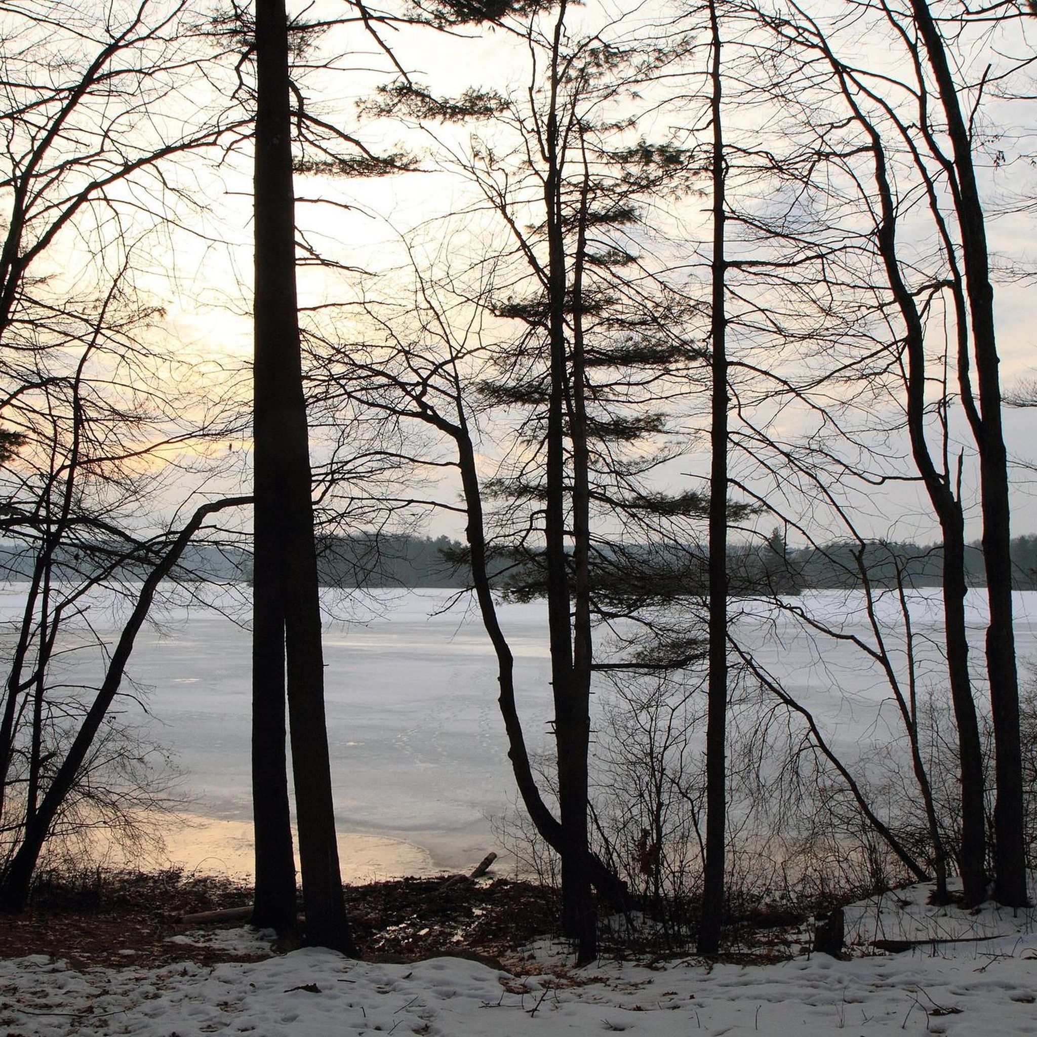
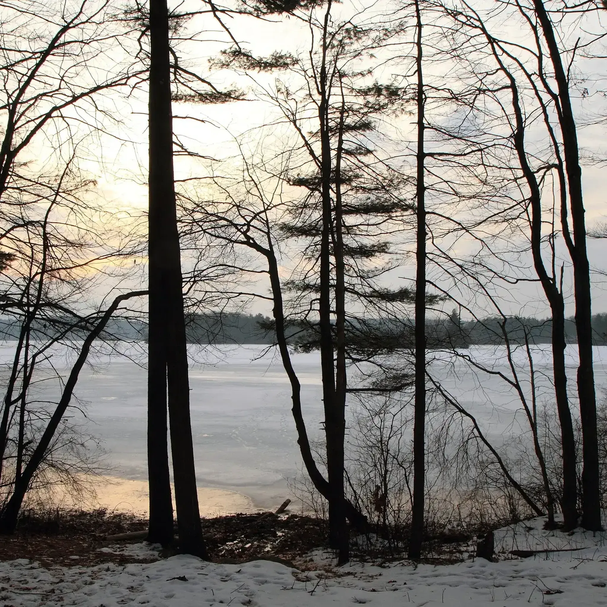
Road cycling in Whitehall State Park features scenic roadways that encircle the Whitehall Reservoir, providing a picturesque setting for cyclists. The park's landscape is characterized by the 592-acre reservoir, lush woodlands, and a network of paved surfaces suitable for road bikes. Roads like Wood Street, Spring Street, Pond Street, and Winter Street form accessible loops, offering water views and forested stretches. The area includes moderate elevation changes, making it suitable for various skill levels.
Best road cycling routes in Whitehall…
Last updated: May 21, 2026
5.0
(2)
8
riders
Moderate road ride. Good fitness required. Mostly well-paved surfaces and easy to ride.
5
riders
28.6km
01:20
200m
200m
Easy road ride. Great for any fitness level. Mostly well-paved surfaces and easy to ride.

Sign up for free
2
riders
29.7km
01:18
250m
250m
Easy road ride. Great for any fitness level. Mostly well-paved surfaces and easy to ride.
3
riders
34.3km
01:37
360m
360m
Moderate road ride. Good fitness required. Mostly well-paved surfaces and easy to ride.
3
riders
Easy road ride. Great for any fitness level. Mostly well-paved surfaces and easy to ride.
Get access to more routes and recommendations from other explorers.
Sign up for free
Already have an account?
Our route recommendations are based on thousands of hikes, rides, and runs completed by other people on komoot.
Start today with a free account
Your next adventure awaits.
Login or Signup
Popular around Whitehall State Park


Tips from the Community

Upton State Forest offers 2,660 acres of natural beauty. With trails for hiking, biking, and horseback riding, plus opportunities for fishing and picnicking, it's a haven for outdoor enthusiasts seeking serene woodland adventures.
0
0

Upper Westboro Reservoir is part of the Westboro Reservoir & Conservation Land. The lake is a peaceful place, surrounded with grassy areas and woodlands, providing a nice place for picnicking, fishing or simply enjoying a nice bike ride through the trail system that goes around the water.
0
0

There is a bit of everything here at Louisa Lake. It is a very scenic area and along with nearby Milford Pond, it provides a great venue for a variety of recreational activities, especially bicycling. Nearby is the Upper Charles Trail, a super good cycling trail.
0
0

Grafton is home to a number of historic buildings so while riding through the town there is plenty to look at. It is in the oldest industrialised area in the country and was named after Charles II's grandson the Duke of Grafton.
0
0

The Upper Charles Trail in Massachusetts offers cyclists a scenic route through historic mill towns, verdant woodlands, and along the Charles River. This multi-use trail spans diverse landscapes, showcasing the region's industrial heritage.
0
0

Louisa Lake offers a scenic haven for non-motor boating, fresh water fishing, and various recreational activities like bicycling, walking, and running.
0
0
Town Forest is a forested recreation area in the quaint town of Milford. It should not be mixed up with its nearby namesake Town Forest Nature Reserve. Town Forest recreation area is situated near to the two cemeteries of North Purchase Street Cemetery and Pine Grove Cemetery. You can hike and run here but as far as cycling is concerned you can cycle through it on the Upper Charles Trail.
0
0
The Upper Charles Trail is a work in progress trail build. It will one day total 24 miles, linking the communities of Milford, Ashland, Sherborn, Holliston, Framingham, and Hopkinton. Simply another brilliant rails to trails project that to date (2018) has more than 13 miles of the trail completed. The surface is mainly asphalt and crushed stone so it is best done on a gravel bike.
0
0
Frequently Asked Questions
What kind of terrain can I expect on road cycling routes in Whitehall State Park?
The road cycling routes in Whitehall State Park primarily feature paved surfaces that encircle the Whitehall Reservoir. You'll encounter moderate elevation changes, making the area suitable for various skill levels. Roads like Wood Street, Spring Street, Pond Street, and Winter Street form accessible loops with scenic water views and forested stretches.
Are there road cycling routes suitable for beginners in Whitehall State Park?
Yes, Whitehall State Park offers several routes suitable for beginners. For instance, the Upper Charles Trail – Upper Charles Trail loop from Hopkinton High School is an easy 17.8-mile (28.6 km) path with minimal elevation gain, providing a gentle introduction to road cycling in the area.
How many road cycling routes are available in Whitehall State Park?
There are over 110 road cycling routes available in Whitehall State Park, catering to a range of abilities. This includes 30 easy routes, 76 moderate routes, and 5 more challenging options.
What are some scenic highlights or landmarks I can see while cycling in Whitehall State Park?
The centerpiece of the park is the 592-acre Whitehall Reservoir, offering serene water views throughout your ride. You'll also pass through lush woodlands and may spot historic stone walls, hinting at the area's past. The park is also known for its diverse birdlife, including waterfowl and hawks.
Are there any loop road cycling routes in Whitehall State Park?
Yes, many road cycling routes in Whitehall State Park are designed as loops. A popular option is the Picadilly Mill Estates – Upper Westboro Reservoir loop from Whitehall State Park, which is a 24.8-mile (40.0 km) route offering continuous scenic views.
What is the best time of year to go road cycling in Whitehall State Park?
Whitehall State Park is enjoyable for road cycling across multiple seasons. Spring and fall offer pleasant temperatures and vibrant foliage, while summer provides warm weather for longer rides. Always check local weather conditions before heading out.
Is Whitehall State Park suitable for family-friendly road cycling?
Yes, the park's mostly paved surfaces and moderate elevation changes make it suitable for families. The 14.7-mile loop around Whitehall Reservoir, utilizing roads like Wood Street, Spring Street, Pond Street, and Winter Street, is a great option for a scenic and accessible family ride.
What do other road cyclists enjoy most about the routes in Whitehall State Park?
The road cycling routes in Whitehall State Park are highly rated by the komoot community, with an average score of 5.0 stars. Cyclists often praise the picturesque setting, the scenic water views of the reservoir, and the well-maintained paved roads that offer a pleasant riding experience through woodlands.
Are there challenging road cycling routes for experienced riders in Whitehall State Park?
While many routes are moderate, there are options for more experienced riders seeking a challenge. The park features 5 difficult routes. For example, the Christian Hill – Wolfe Hill loop from Whitehall State Park is a 31.7-mile (51.1 km) trail with significant elevation changes, providing a more demanding ride.
Where can I park when visiting Whitehall State Park for road cycling?
Whitehall State Park offers various access points and parking areas. You can typically find parking near the main entrances or along the roads that encircle the reservoir, such as Wood Street, Spring Street, Pond Street, and Winter Street, providing convenient starting points for your ride.
Are there any cafes or dining options near the road cycling routes in Whitehall State Park?
While the park itself is focused on natural recreation, the surrounding towns near Whitehall State Park offer various cafes and dining options where cyclists can refuel before or after their rides. It's advisable to check local listings for establishments in nearby communities.
Can I connect to other parks or trails from Whitehall State Park for extended cycling?
Whitehall State Park is part of a larger green space network. While the main reservoir trail is better suited for mountain biking, the road network around the park can connect you to areas offering extended exploration opportunities, such as those leading towards Hopkinton State Park or Upton State Forest.
Most popular routes in Whitehall State Park

Get inspired with the komoot mobile app


Explore more
Browse the best Road cycling routes in other regions.
