The best walks and hikes in Knopwood Hill Nature Recreation Area
4.5
(24)
553
hikers
53
hikes
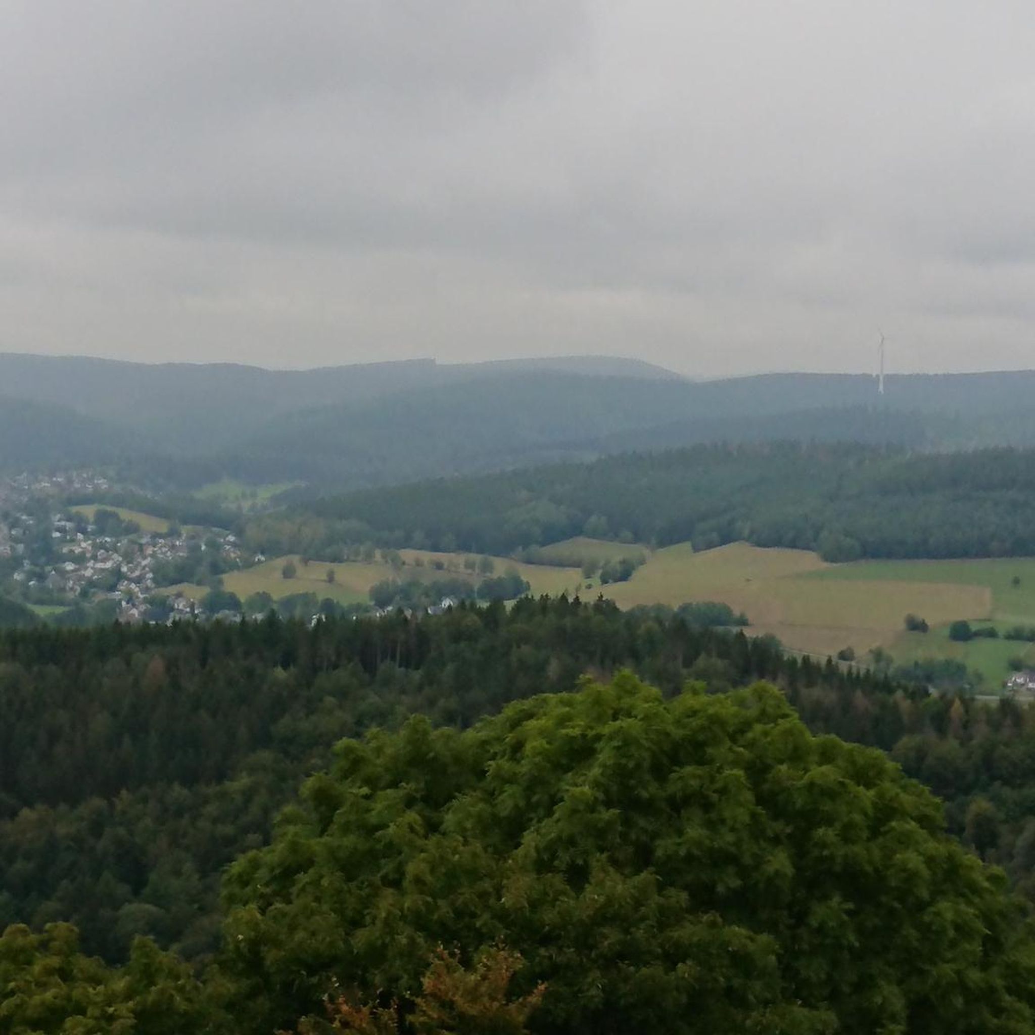
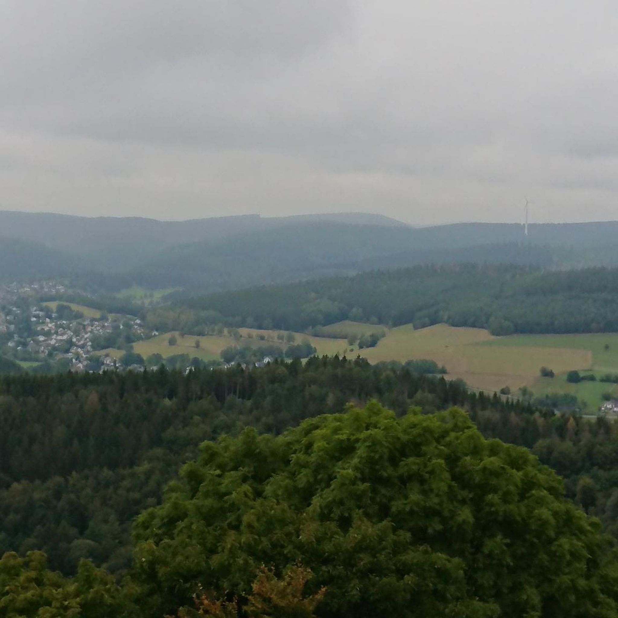
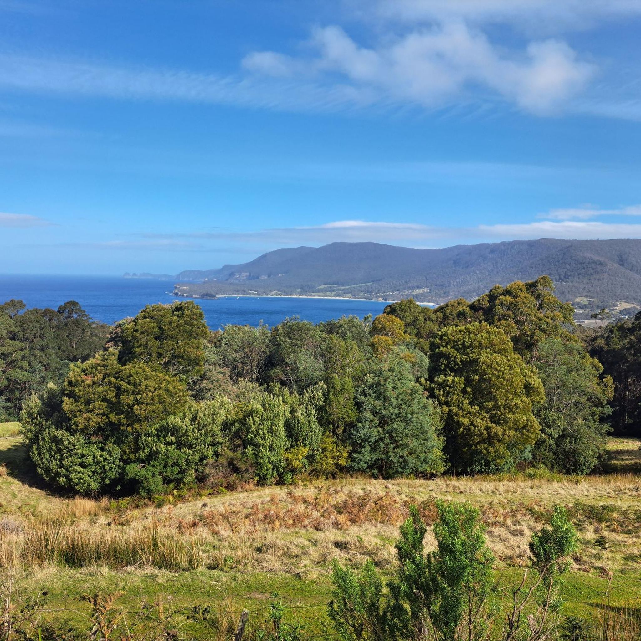
Hiking in Knopwood Hill Nature Recreation Area offers diverse trails and notable landscapes in Tasmania. The region features varied terrain, including dry bushland and areas with unique flora such as the *Eucalyptus risdonii*. Hikers can experience elevation gains and enjoy scenic views overlooking the Derwent River and Mount Wellington. The area is easily accessible and provides a range of walking experiences.
Best hiking trails in Knopwood Hill Nature Recreation Area
- The most popular hiking route is Hobart Cenotaph War Memorial…
Last updated: July 1, 2026
21
hikers
6.28km
01:36
10m
10m
Easy hike. Great for any fitness level. Easily-accessible paths. Suitable for all skill levels.
6
hikers
10.4km
02:43
80m
80m
Moderate hike. Good fitness required. Easily-accessible paths. Suitable for all skill levels.

Sign up for free
12
hikers
8.44km
02:11
40m
40m
Moderate hike. Good fitness required. Easily-accessible paths. Suitable for all skill levels.
2
hikers
5.83km
01:30
30m
30m
Easy hike. Great for any fitness level. Easily-accessible paths. Suitable for all skill levels.
29
hikers
6.96km
01:55
120m
120m
Easy hike. Great for any fitness level. Easily-accessible paths. Suitable for all skill levels.
Get access to more routes and recommendations from other explorers.
Sign up for free
Already have an account?
Our route recommendations are based on thousands of hikes, rides, and runs completed by other people on komoot.
Start today with a free account
Your next adventure awaits.
Login or Signup
Tips from the Community

This is a nice little green space with a dirt walking trail along the coast. The trail takes a shady route back to the beach at Cornelian Bay from a bench overlooking the ocean here at its eastern end.
0
0
A paved path along the coast takes you past the park and playground as you parallel the beach. You get a great view south across the water to Tasman Bridge as you walk.
0
0

Bellerive Beach is a beautiful stretch of sand with long views across the Derwent. Backed by open lawns and close to Bellerive’s village centre, the beach is an easy place to linger and watch sailboats and ferries moving across the river.
0
0
Wentworth Park is a spacious waterfront reserve with open green lawns and views across the River Derwent toward Hobart. There are picnic shelters, barbecues, toilets, and a playground, making it an ideal place to spend time by the water. Its foreshore setting, shaded areas, and easy access to the shoreline make it a popular spot for families and a relaxing break along the trail.
0
0
Clarence Foreshore Trail follows the eastern shoreline of the River Derwent, connecting beaches, reserves, wetlands, and waterfront suburbs with beautiful views across the water toward Hobart and kunanyi / Mount Wellington in the distance on a clear day. As you walk, the trail passes through a mix of coastal scenery, from sandy bays and rocky foreshore to open parkland, with opportunities to spot seabirds and enjoy quieter waterside sections. It's mostly gentle terrain makes it an easy and scenic way to experience Hobart’s eastern shore.
0
0

Derwent River is a large estuary flowing from inland Tasmania into Storm Bay, forming the main waterway through Hobart. The river is tidal in its lower sections, with a mix of freshwater and seawater shaping its flow and conditions. It’s used for shipping, recreation, and transport, with wide stretches of open water and long sightlines across to the surrounding shoreline.
0
0
Running along the Derwent River in Hobart, the Intercity Cycleway is a shared path linking the city with northern suburbs. The route follows a mostly flat, sealed surface with long stretches beside the river and sections set slightly inland. It’s used by cyclists, walkers, and runners, with open views across the water in parts and more enclosed sections through urban corridors.
0
0
Tasman Bridge is the city’s main link between the eastern and western shores. Opened in 1965, the bridge includes pedestrian walkways on both sides running directly beside traffic lanes. Walking across feels exposed and noisy, but the elevation gives wide views over the river, Hobart skyline, and surrounding hills. The bridge is also closely tied to Hobart’s history following the 1975 Tasman Bridge disaster, when a cargo ship collision caused part of the bridge to collapse and temporarily split the city in two.
0
0
Frequently Asked Questions
How many hiking trails are available in Knopwood Hill Nature Recreation Area?
Knopwood Hill Nature Recreation Area offers a wide selection of routes, with over 50 hiking trails to explore. These range from easy strolls to more challenging treks, catering to various fitness levels.
Are there easy hiking options suitable for families in Knopwood Hill?
Yes, the area features many easy paths suitable for families. For instance, the Brooke Street Pier – Parliament House Lawns, Hobart loop is an easy 7.3 km trail that takes less than two hours, offering urban and waterfront views. Another accessible option is the Parliament House Lawns, Hobart – Narryna: The Merchant's House loop, which is also an easy 7.2 km route.
Can I bring my dog on the trails in Knopwood Hill Nature Recreation Area?
While the guide data doesn't specify a dog policy, many nature recreation areas in Tasmania have specific rules regarding dogs to protect local wildlife and flora. It's always best to check local signage or the official Clarence City Council website for the most current regulations before bringing your dog. You can find general information on trails in the region at Popular Trails in Clarence.
What kind of landscapes and views can I expect while hiking here?
Hikers in Knopwood Hill Nature Recreation Area can enjoy picturesque views overlooking the Derwent River and Mount Wellington. The trails also offer vistas towards South Arm and Mornington Hill, providing a mix of natural and urban landscapes.
Are there any circular hiking routes in the area?
Yes, Knopwood Hill Nature Recreation Area features several circular routes. Popular options include the Hobart Cenotaph War Memorial – Theatre Royal Hobart loop (10.7 km) and the Brooke Street Pier – Parliament House Lawns, Hobart loop (7.3 km). For a more challenging circular trek, consider the Sphinx Rock – Cascade Brewery loop, which is 20.6 km long.
What unique natural features or flora can I see in Knopwood Hill?
Knopwood Hill is notable for its unique flora, particularly the rare Eucalyptus risdonii, also known as the Risdon Peppermint. This species grows specifically on dry, north-east to westerly facing slopes on the eastern shore of the Derwent near Hobart. The bushland itself can be quite dry, and some areas may show signs of past burn-offs.
How accessible is Knopwood Hill Nature Recreation Area by public transport?
Knopwood Hill is easily accessible, including by public transport. It's conveniently located close to Hobart, and a pedestrian bridge connects it over the South Arm Highway from areas like Tilanbi Street, making it straightforward to reach.
Where can I park when visiting Knopwood Hill Nature Recreation Area?
While specific parking locations aren't detailed in the guide, given its accessibility and proximity to Hobart, there are likely designated parking areas or street parking options near trailheads. It's advisable to check local maps or signage upon arrival for the most convenient parking spots.
What is the best time of year to go hiking in Knopwood Hill?
The diverse trails in Knopwood Hill Nature Recreation Area can be enjoyed year-round, though conditions vary. The bushland can be quite dry, suggesting pleasant conditions in cooler months. For longer, more challenging hikes, avoiding the hottest summer days might be preferable. Always check local weather forecasts before heading out.
Are there any longer or more challenging hikes for experienced trekkers?
Yes, for experienced hikers seeking a challenge, the Sphinx Rock – Cascade Brewery loop is a difficult 20.6 km path with a significant elevation gain of nearly 800 meters, typically taking over six hours to complete. This route requires very good fitness and sure-footedness.
What do other hikers say about their experience in Knopwood Hill Nature Recreation Area?
The area is highly rated by the komoot community, with an average score of 4.8 stars from over 20 reviews. Hikers often praise the diverse trails, scenic viewpoints, and unique botanical elements, highlighting the range of options available for various ability levels.
What kind of wildlife might I encounter in Knopwood Hill?
While not extensively detailed for Knopwood Hill specifically, the broader Tasmanian wilderness, which this area is part of, is known for its diverse wildlife. Hikers might spot native animals such as wallabies, pademelons, bandicoots, and various bird species.
Are there any historical connections or notable projects related to the trails?
Yes, the area has historical significance and is part of ongoing developments. It's mentioned as part of the proposed 'Sky Walk' trail, with extensions being established to facilitate this larger walking network. There's also a historical connection to the Charles Darwin Trail, supposedly walked by Darwin himself in 1836.
Most popular routes in Knopwood Hill Nature Recreation Area

Get inspired with the komoot mobile app


Explore more
Browse the best Hikes in other regions.
