The best running trails in Arthurs Seat State Park
4.0
(1)
355
runners
24
runs
Jogging routes in Arthurs Seat State Park offer diverse terrain and significant elevation changes, with the highest points rising to 314 meters above sea level. The park features a combination of bushland, lush forests, and, in some areas, steep rocky paths. Trails wind through fern-lined gullies and past grass trees, providing varied running experiences. Panoramic views of Port Phillip and the Melbourne city skyline are accessible from higher points within the park.
Best jogging routes in Arthurs Seat State Park
…Last updated: June 26, 2026
26
runners
15.2km
02:02
450m
450m
Hard run. Very good fitness required. Mostly paved surfaces. Suitable for all skill levels.
41
runners
17.0km
02:17
480m
480m
Hard run. Very good fitness required. Mostly paved surfaces. Suitable for all skill levels.

Sign up for free
29
runners
7.98km
00:55
10m
10m
Moderate run. Good fitness required. Mostly paved surfaces. Suitable for all skill levels.
22
runners
Hard run. Very good fitness required. Mostly paved surfaces. Suitable for all skill levels.
9
runners
19.8km
02:09
40m
40m
Hard run. Very good fitness required. Mostly paved surfaces. Suitable for all skill levels.
Get access to more routes and recommendations from other explorers.
Sign up for free
Already have an account?
Our route recommendations are based on thousands of hikes, rides, and runs completed by other people on komoot.
Start today with a free account
Your next adventure awaits.
Login or Signup
Popular around Arthurs Seat State Park

Tips from the Community

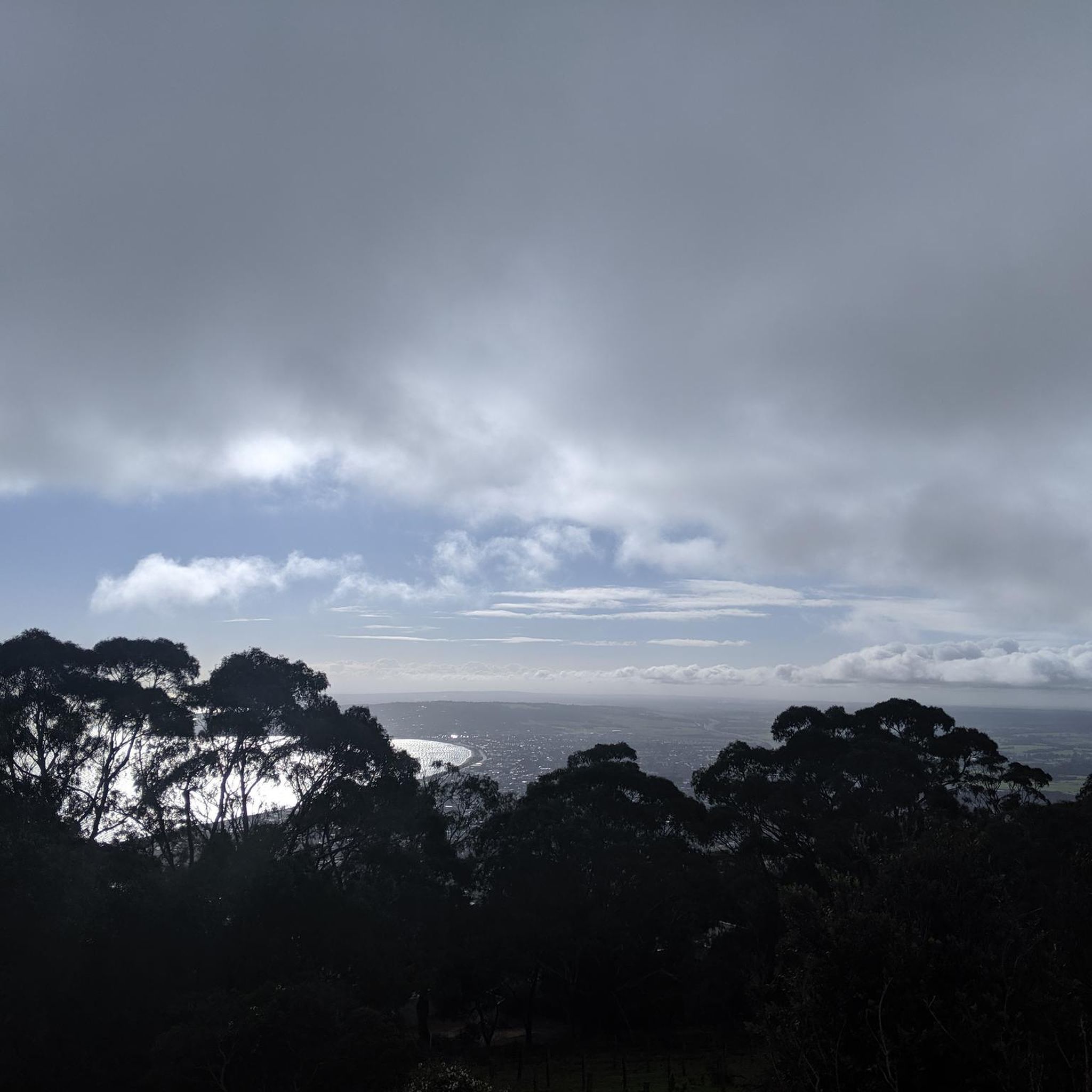
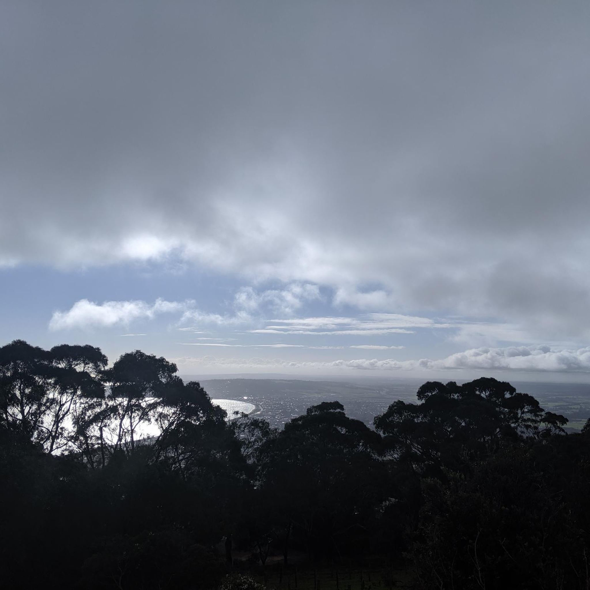
This is a quiet spot overlooking a sheltered bushland gully surrounded by dense forest. From the lookout area, you can take in the views across the tree-filled valley, a beautiful contrast to the open bay views found elsewhere on Arthurs Seat. After rain, the nearby seasonal falls are often at their most noticeable, though beautiful anytime you visit.
0
0
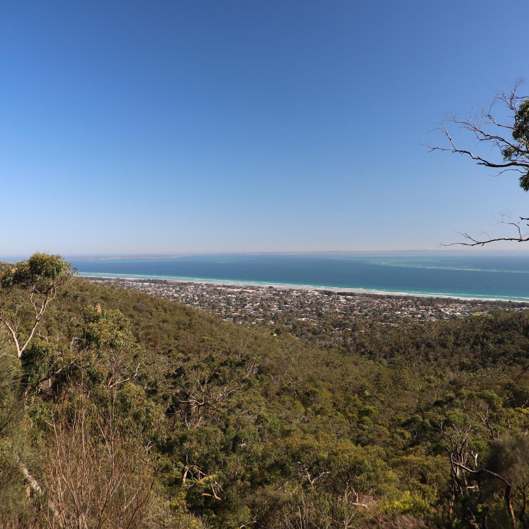
This is a great spot with elevated views across Port Phillip Bay, the coastline, and surrounding townships, with the open water stretching into the distance. It's a different perspective than the denser forest sections of the walk, especially on clear days when you can see far across the bay. The contrast between the rugged slopes of Arthurs Seat and the expansive coastal scenery makes this one of the standout viewpoints along the track.
0
0
TC McKellar Circuit Walk is a lovely bushland loop through the lower slopes of Arthurs Seat, winding through native forest and is a sandy track near Seawinds Gardens. Along the way, the route passes through stands of eucalypts and wattles, with plenty of opportunities to spot native birdlife and, at quieter times of day, even eastern grey kangaroos among the vegetation. Its peaceful setting and its short distance make it an easy way to experience the natural side of Arthurs Seat away from the main lookouts.
0
0

The Two Bays Walking Track crosses the Mornington Peninsula from Port Phillip Bay to Western Port, passing through Arthurs Seat State Park along the way. Marked by the Blue Wren symbol, the track links forested ridgelines, open woodland and occasional coastal viewpoints. Sections within the park involve steady climbs and descents on well-formed dirt paths, with some rocky footing in places. There is no entry fee. Carry water, as facilities are limited along longer stretches.
0
0
McLarens Dam is a quiet stop along the Two Bays Trail within Arthurs Seat State Park, offering a peaceful contrast to the surrounding ridgelines. Reached via a steady descent from Seawinds Gardens, the small dam sits in a clearing framed by open woodland. It’s a good place to pause before the climb back up, especially on warmer days.
0
0
Arthurs Seat State Park protects one of the highest points on the Mornington Peninsula, with bushland slopes rising above Port Phillip Bay. The park combines open woodland, fern gullies and rocky ridgelines, with sweeping coastal views from higher elevations. Sections of the Two Bays Trail pass through the park, linking inland forest with bay outlooks. There is no park entry fee. Stay on marked tracks, as some areas are steep and prone to erosion.
0
0
Frequently Asked Questions
How challenging are the running trails in Arthurs Seat State Park?
Running routes in Arthurs Seat State Park are generally quite challenging, featuring significant elevation changes and varied terrain. Out of approximately 25 routes, 11 are rated as difficult, 14 as moderate, and only one as easy. Expect bushland, forests, and sometimes steep, rocky paths, with the highest points reaching 314 meters above sea level.
What are the typical distances for running routes in Arthurs Seat State Park?
The running routes in Arthurs Seat State Park vary considerably in length. You can find shorter options, such as the Rosebud Beach loop from McCrae at 8.0 km, which is a moderate coastal run. For those seeking a longer challenge, routes like the Arthurs Seat – Chapmans Point loop from Bracken Ridge Reserve covers 20.7 km.
Are there any family-friendly running options in Arthurs Seat State Park?
While many trails in Arthurs Seat State Park feature significant climbs and challenging terrain, there is at least one easy route available. For families or those looking for a less strenuous run, it's best to check individual route descriptions on komoot for details on elevation and surface to ensure suitability for all ages and fitness levels.
Can I bring my dog on the running trails in Arthurs Seat State Park?
Arthurs Seat State Park is a dog-friendly park, but specific rules apply. Dogs are permitted on leash in most areas, including many walking and running trails. However, they are generally not allowed in designated picnic areas or certain sensitive environmental zones. Always check local signage and park regulations before heading out with your pet.
What kind of views can I expect while running in Arthurs Seat State Park?
Runners in Arthurs Seat State Park are rewarded with stunning panoramic views. From higher elevations, you can often see across Port Phillip Bay and even the Melbourne city skyline. The trails themselves wind through diverse landscapes, including fern-lined gullies, dense native forests, and areas with unique grass trees.
Are there any circular running routes in Arthurs Seat State Park?
Yes, many of the running routes in Arthurs Seat State Park are circular, offering a varied experience without needing to retrace your steps. Examples include the challenging McLarens Dam – Arthurs Seat loop from Arthurs Seat, which is 18.0 km, and the Rosebud Beach loop from McCrae, a moderate 8.0 km coastal option.
What is the best time of year to go running in Arthurs Seat State Park?
The best time to go running in Arthurs Seat State Park is generally during the cooler months of spring and autumn when the weather is mild and comfortable. Summer can be quite warm, making early morning or late afternoon runs preferable. Winter offers crisp air, but trails can be muddy after rain, and some higher sections might be exposed to wind.
What should I wear for running in Arthurs Seat State Park?
Given the varied terrain and potential for elevation changes, it's recommended to wear appropriate trail running shoes with good grip. Layered clothing is advisable, as conditions can change, especially at higher altitudes. Don't forget sun protection, a hat, and sufficient water, particularly for longer runs.
How many running routes are available in Arthurs Seat State Park?
There are over 25 dedicated running routes documented in Arthurs Seat State Park on komoot. These routes cater to various fitness levels, ranging from moderate coastal paths to difficult long-distance trails with significant elevation gain.
What do other runners enjoy most about jogging in Arthurs Seat State Park?
The komoot community highly values the diverse running experiences in Arthurs Seat State Park. Over 490 runners have explored the area, frequently praising the challenging hills, the stunning panoramic views of Port Phillip, and the immersive bushland and forest trails that offer a true escape into nature.
Are there any cafes or facilities near the running routes in Arthurs Seat State Park?
Arthurs Seat State Park has facilities, including picnic areas and lookouts, particularly around the summit. While specific cafes might not be directly on every trail, the nearby towns of Dromana, Rosebud, and McCrae offer various dining options and amenities for pre- or post-run refreshments. It's always a good idea to carry your own water and snacks.
Is public transport available to access the running trails in Arthurs Seat State Park?
Public transport options to Arthurs Seat State Park are limited. While local bus services operate in the surrounding Mornington Peninsula towns, direct access to trailheads within the park often requires a car. Check PTV (Public Transport Victoria) for the most current bus routes and schedules to nearby areas.
Most popular routes in Arthurs Seat State Park
Most popular attractions in Arthurs Seat State Park

Get inspired with the komoot mobile app


Explore more
Browse the best Running Trails & Routes in other regions.
