The best road cycling routes in Worimi Regional Park
5.0
(28)
609
riders
16
rides
Road cycling routes in Worimi Regional Park traverse a diverse coastal landscape in Australia. The region is characterized by expansive beaches, significant coastal sand dunes, and varied terrain that includes both paved and unpaved sections. Elevation gains on routes can range from gentle hills to more challenging ascents, offering options for different fitness levels.
Best road cycling routes in Worimi Regional Park
- The most popular road cycling route is Anna Bay Coastal View loop from One Mile, a 43.5…
Last updated: July 4, 2026
5.0
(1)
52
riders
74.3km
03:09
440m
440m
Moderate road ride. Good fitness required. Mostly well-paved surfaces and easy to ride.
18
riders
32.8km
01:22
180m
180m
Easy road ride. Great for any fitness level. Mostly well-paved surfaces and easy to ride.

Sign up for free
12
riders
32.4km
01:23
250m
250m
Easy road ride. Great for any fitness level. Mostly well-paved surfaces and easy to ride.
5.0
(1)
9
riders
23.1km
01:06
140m
140m
Easy road ride. Great for any fitness level. Mostly well-paved surfaces and easy to ride.
5.0
(3)
117
riders
64.8km
02:57
470m
470m
Moderate road ride. Good fitness required. Mostly well-paved surfaces and easy to ride.
Get access to more routes and recommendations from other explorers.
Sign up for free
Already have an account?
Our route recommendations are based on thousands of hikes, rides, and runs completed by other people on komoot.
Start today with a free account
Your next adventure awaits.
Login or Signup
Popular around Worimi Regional Park
Tips from the Community

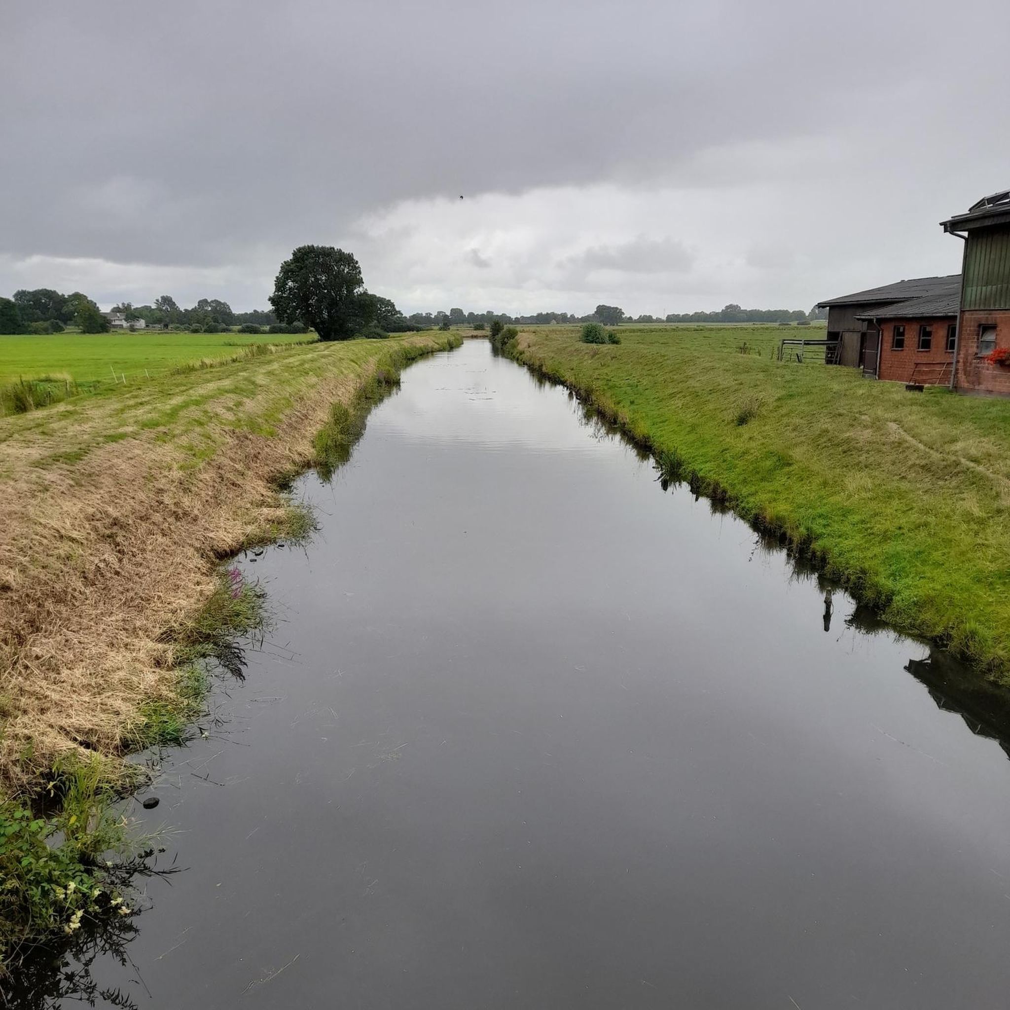
Lake Macquarie is the largest coastal saltwater lake in Australia, forming a broad, open water body surrounded by suburbs, parkland, and small inlets. From the shoreline, views stretch across long distances of water, often with boats, jetties, and changing light reflecting off the surface. It makes for a beautiful, breezy walk.
1
0

The World War II gun emplacements on Tomaree Head were constructed in 1941 to defend Australia’s east coast. These reinforced concrete structures once housed large coastal artillery designed to protect Port Stephens and nearby strategic infrastructure. Today, the remains are among the most visible relics of the site, standing as a reminder of its military past.
0
0
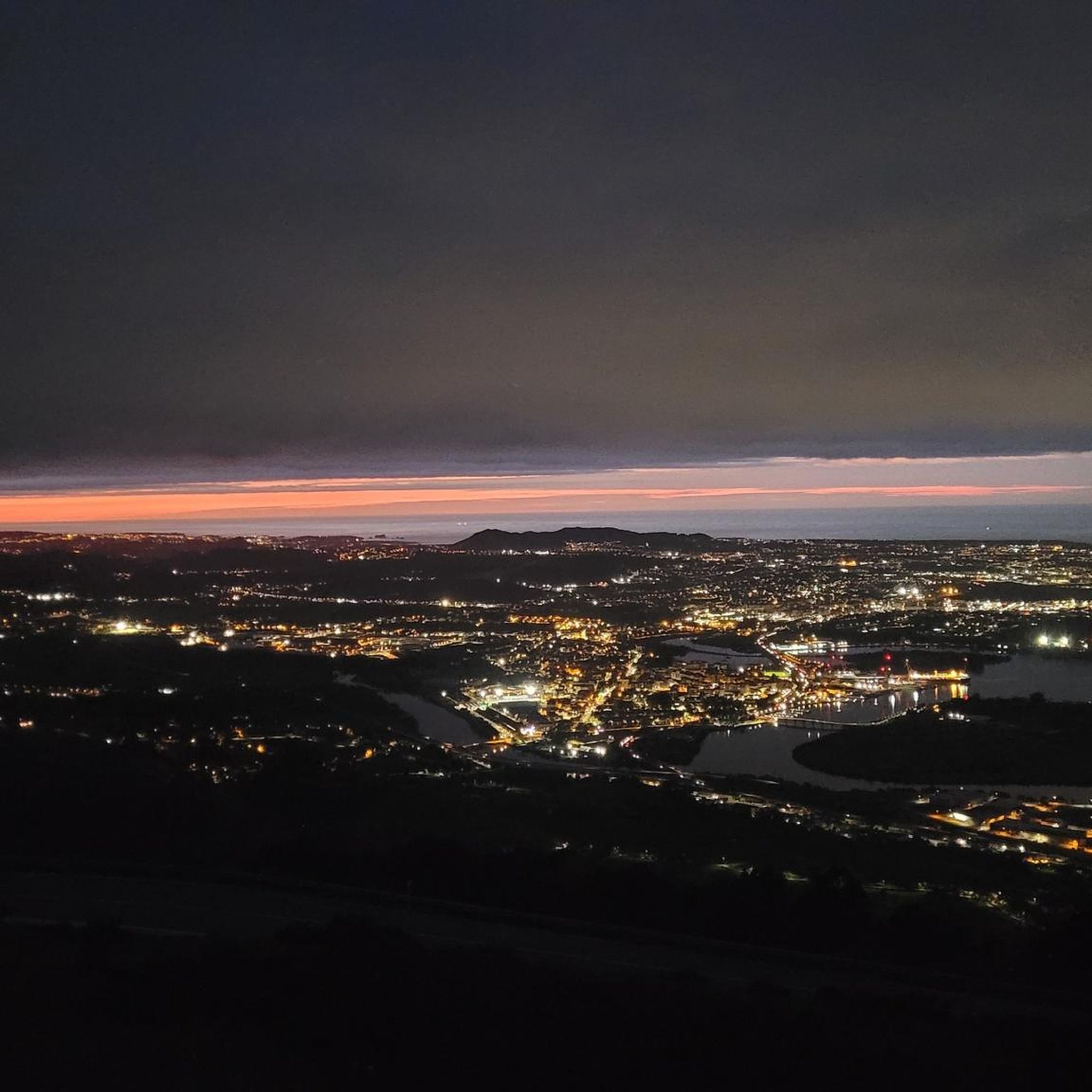
Tomaree Headland stands at the southern entrance to Port Stephens, with its rugged cliffs dropping steeply into the sea. There are several walking paths that wind through the coastal bush, leading to lookouts that offer impressive views of the bay and coastline. Its elevated position made it a key defence site during World War II, with fortifications built to monitor and protect the coastline. Today, it remains a prominent natural landmark where its military history sits quietly within the landscape.
0
0
Shoal Bay is a sheltered coastal bay at the northern edge of Port Stephens, known for its calm, clear waters and gently curving sandy beach. Framed by surrounding headlands, including Tomaree Head, the bay is protected from strong ocean swells, making it popular for swimming and boating. From here, the view across the water is beautiful, inviting you to slow down and take in the scenery.
0
0

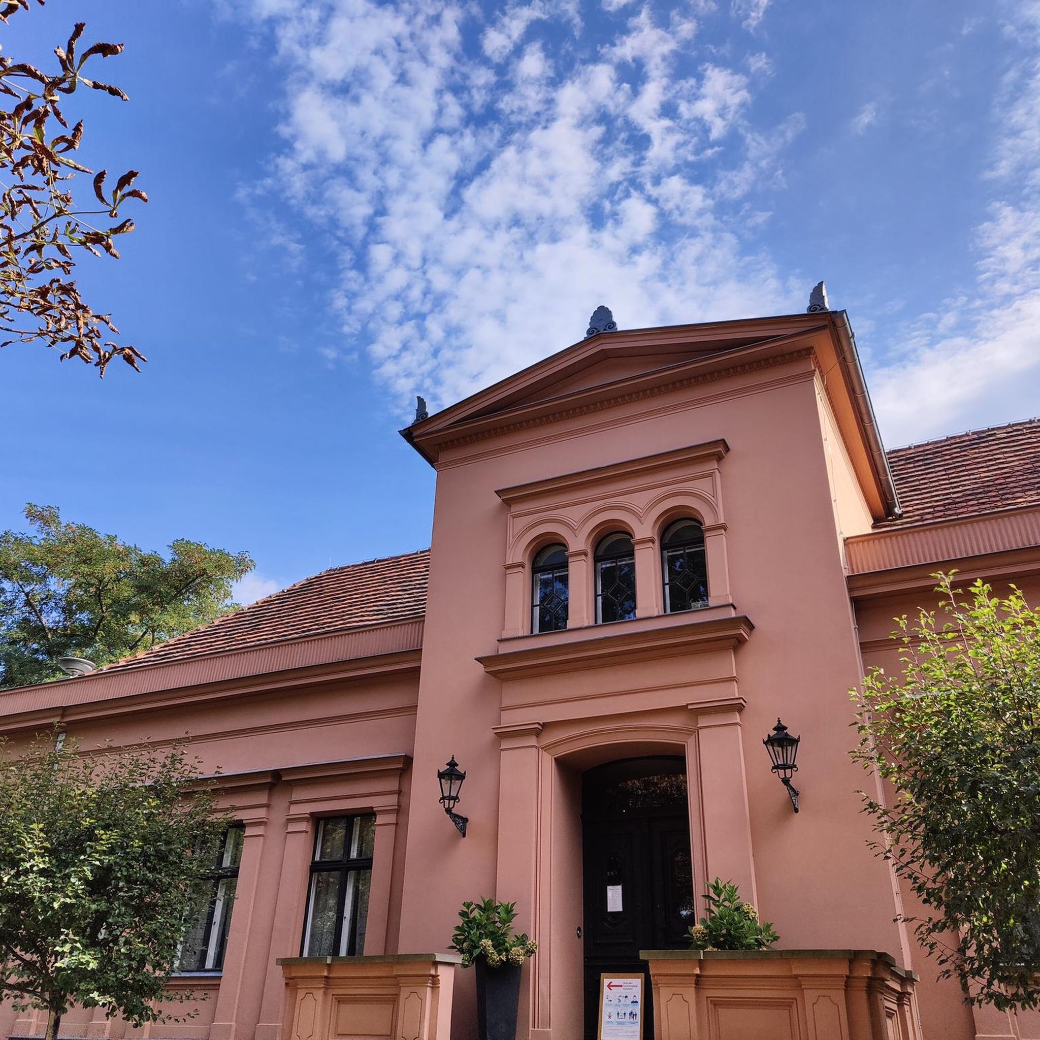
The Former Belmont Railway Station serves as the terminus for the Fernleigh Track. Here are remnants of the old train tracks, a station platform, and a commemorative sign. This railway was converted into the Fernleigh Track, a rail trail that makes good use of the old corridor. Here you will also find the library and a little food stand to fuel up before or after your adventure.
0
0
Tomaree Head is a prominent coastal headland within Tomaree National Park at the entrance to Port Stephens, known for its beautiful panoramic views over the bay and surrounding beaches. The area is accessed via the popular Tomaree Head Summit Walk and other short trails, with a car park, picnic areas, toilets and nearby beach access at Shoal Bay. Entry to Tomaree National Park is free, making it an easily accessible spot for walking, sightseeing and coastal wildlife viewing.
0
0


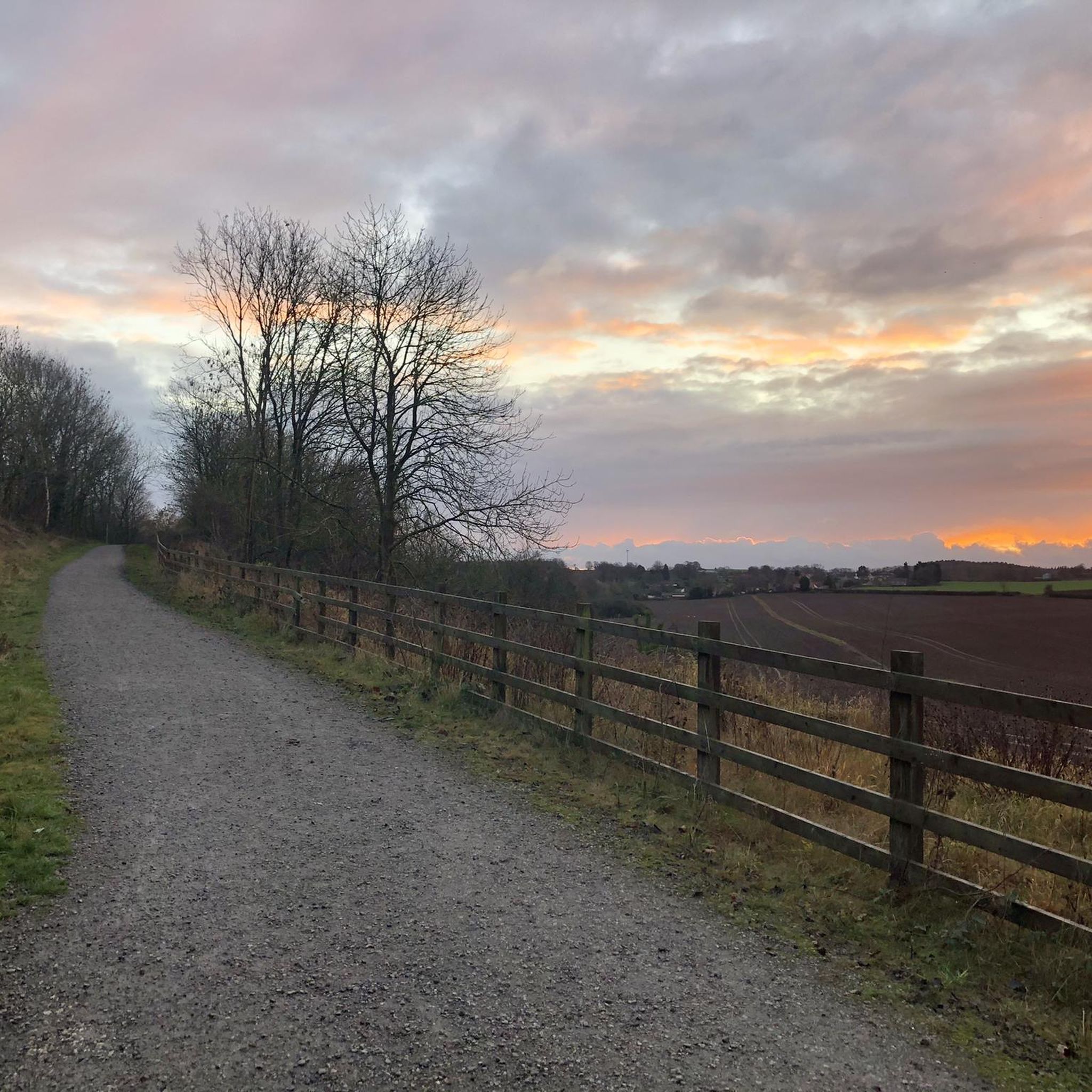
There are toilets and a bubbler here. The Fernleigh Track continues south to Belmont, and once construction is complete, beyond to Swansea. There are shops (cafes, supermarket) just off the path, at Whitebridge shops.
0
0
Frequently Asked Questions
How many road cycling routes are available in Worimi Regional Park?
Worimi Regional Park offers over 20 road cycling routes, catering to various skill levels. These include 15 easy routes, 6 moderate routes, and 2 more challenging options.
What kind of terrain and difficulty can I expect on road cycling routes in Worimi Regional Park?
The region features a diverse coastal landscape with routes offering varying difficulty. You'll find mostly well-paved surfaces, but some longer, more moderate rides may include unpaved segments. Elevation gains range from gentle hills, suitable for easy rides up to two hours with around 300 meters of ascent, to more challenging ascents of up to 900 meters on longer routes.
Are there road cycling routes suitable for beginners or families in Worimi Regional Park?
Yes, Worimi Regional Park has numerous easy road cycling routes perfect for beginners and families. For example, the Sandpiper Reserve – Bagnalls Beach Reserve loop from Boat Harbour is an easy 32.8 km path connecting coastal reserves, offering scenic stretches near the water. Another accessible option is the Little Beach loop from Boat Harbour, a 32.4 km trail through coastal areas.
What are the best times of year to go road cycling in Worimi Regional Park?
The region generally offers pleasant cycling conditions year-round. However, for optimal comfort, consider visiting during the cooler months outside of the peak summer heat. Always check local weather forecasts before heading out, as coastal conditions can change.
Is there an entry fee for cyclists in Worimi Regional Park?
No, entry is free for cyclists in Worimi Regional Park, allowing you to explore the diverse landscapes without an additional fee.
What are some notable landmarks or viewpoints along the road cycling routes?
While cycling, you'll be treated to views of the iconic Stockton dunes, which are the largest moving coastal sand dunes in the Southern Hemisphere, towering up to 30 meters. The routes also offer expansive views of Stockton Beach, stretching for 32 kilometers, and various coastal reserves. Although there are no specific highlight links in the guide data, the natural features themselves are the main attractions.
What do other road cyclists enjoy most about road cycling in Worimi Regional Park?
The road cycling routes in Worimi Regional Park are highly rated by the komoot community, with an average score of 4.96 stars from over 30 reviews. Cyclists often praise the diverse coastal scenery, the variety of routes for different fitness levels, and the unique experience of cycling near the massive sand dunes and expansive beaches.
Are there any loop trails for road cycling in the park?
Yes, many of the road cycling routes in Worimi Regional Park are designed as loops, providing convenient starting and ending points. Examples include the popular Anna Bay Coastal View loop from One Mile and the Dutchmans Beach – Bagnalls Beach Reserve loop from Salamander Bay.
Can I bring my dog on the road cycling routes in Worimi Regional Park?
While the region is generally dog-friendly in certain areas, specific rules apply within Worimi Regional Park and Conservation Lands. It's best to check the official NSW National Parks website for the most current regulations regarding pets in the park to ensure compliance and a pleasant experience for everyone. You can find more information at NSW National Parks.
Are there options for public transport to access cycling routes in Worimi Regional Park?
Public transport options to access the Worimi Regional Park area exist, particularly to towns like Anna Bay and Boat Harbour, which serve as starting points for many routes. For detailed information on bus routes, including those that might accommodate bikes, it's recommended to consult local transport authority websites for Port Stephens.
Where can I find parking for road cycling access points?
Parking is generally available at various access points and nearby towns that serve as trailheads for the road cycling routes. Specific parking locations can vary, so it's advisable to check maps or local information for the most convenient spots depending on your chosen route.
Are there cafes or accommodation options near the road cycling routes?
Yes, towns surrounding Worimi Regional Park, such as Anna Bay, Boat Harbour, and Salamander Bay, offer a range of cafes, pubs, and accommodation options. These can be convenient for pre-ride refreshments, post-ride meals, or overnight stays, enhancing your cycling trip experience.
Most popular routes in Worimi Regional Park

Get inspired with the komoot mobile app


Explore more
Browse the best Road cycling routes in other regions.
