The best running trails in Blue Gum Hills Regional Park
4.5
(4)
258
runners
14
runs
Jogging in Blue Gum Hills Regional Park offers a diverse landscape characterized by natural bushland and historical mining remnants. The park features varied trails with undulations and unique "scars" left from its past as an open-cut mining site. Routes range from shorter, mostly paved loops to longer, more challenging paths with significant elevation gain. This blend of natural and historical elements provides a unique setting for runners of all fitness levels.
Best jogging routes in Blue Gum Hills Regional Park
…Last updated: November 10, 2026
3
runners
9.79km
01:02
100m
100m
Moderate run. Good fitness required. Mostly paved surfaces.
15
runners
45.2km
06:19
1,560m
1,560m
Hard run. Very good fitness required. Mostly runnable paths. Some sure-footedness required.

8
runners
21.0km
02:13
120m
120m
Hard run. Very good fitness required. Mostly paved surfaces.
24
runners
8.35km
00:56
180m
180m
Moderate run. Good fitness required. Mostly paved surfaces.
5
runners
Hard run. Very good fitness required. Mostly paved surfaces.
Get access to more routes and recommendations from other explorers.
Already have an account?
Our route recommendations are based on thousands of hikes, rides, and runs completed by other people on komoot.
Start today with a free account
Your next adventure awaits.
Popular around Blue Gum Hills Regional Park
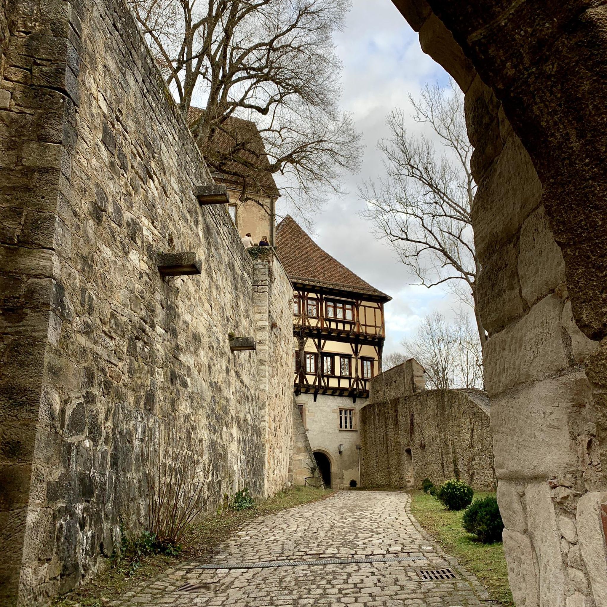
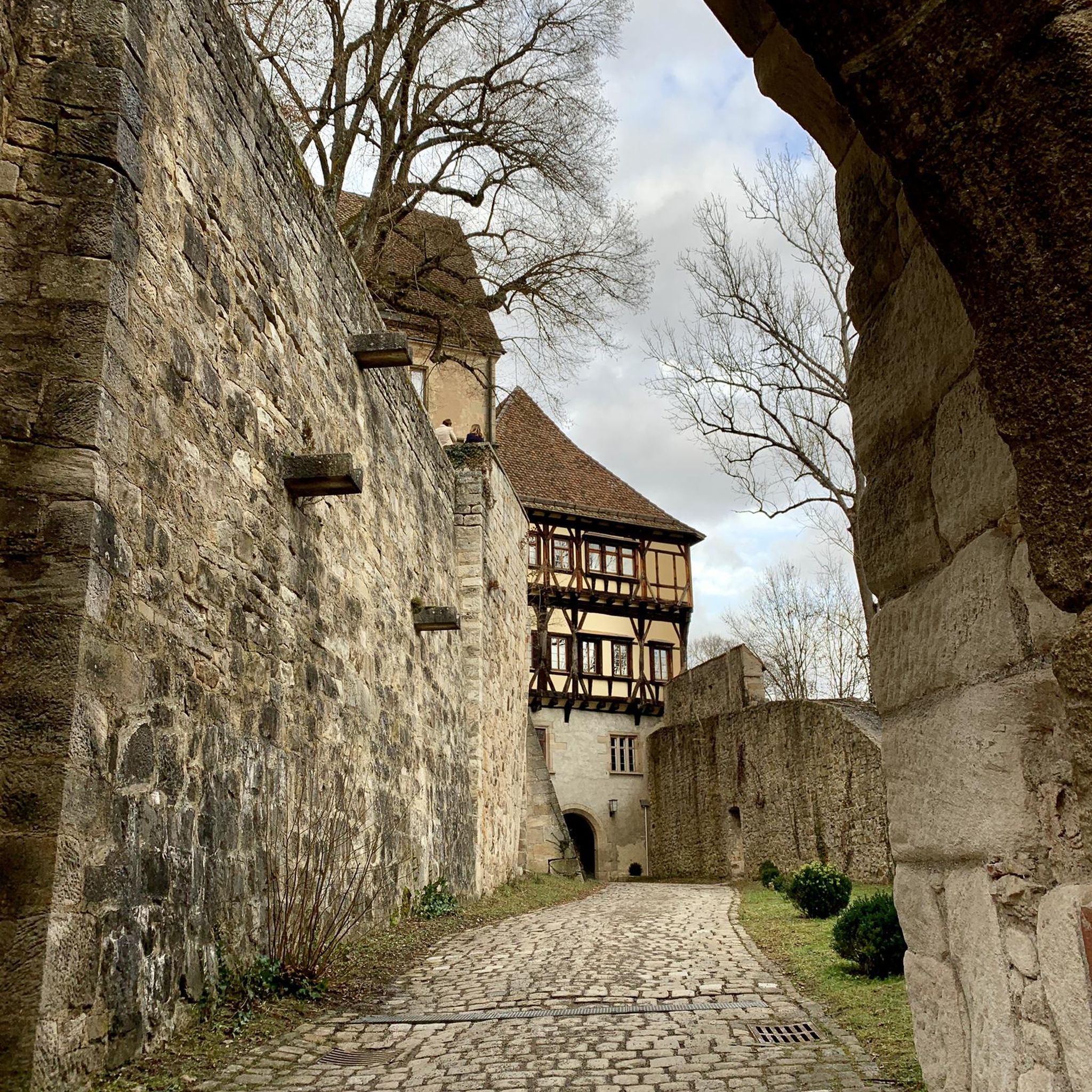
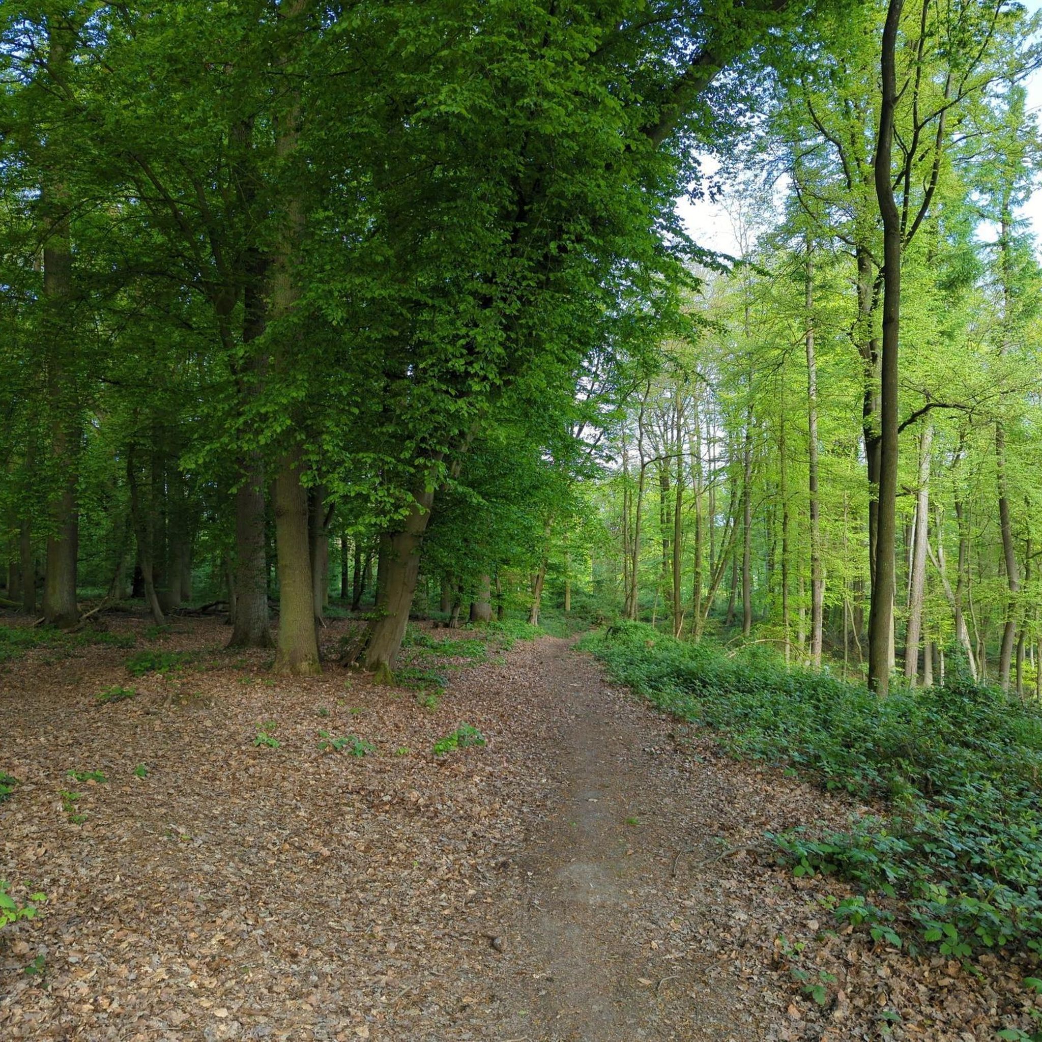
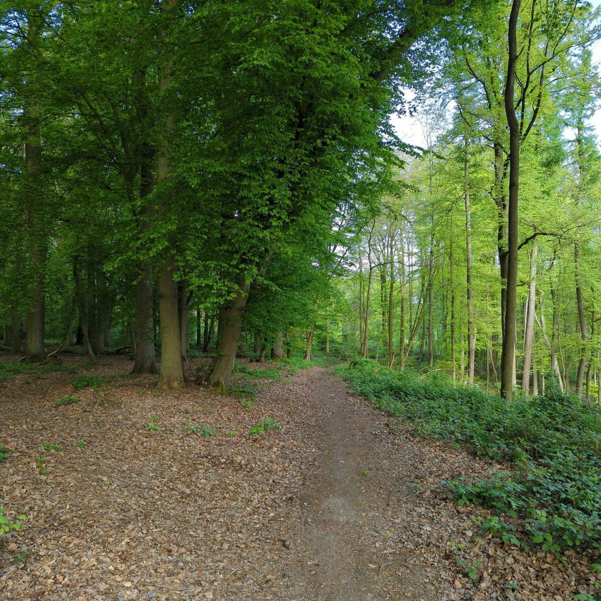
Tips from the Community

Heaton Lookout is one of the larger, fenced lookouts on Heaton Road, facing south-east with beautiful views over the Hunter Valley, Lake Macquarie, and the coastline in the distance. There is a great picnic area here, with wood-fired barbecues, picnic tables, and a pit toilet, making it an easy spot for a proper break with fantastic scenery.
0
0
This section of the Great North Walk tackles a relatively steep, rocky ascent via stairs cut into the sandstone right from the start before it eases onto the dirt Heaton Road, a wider fire track that climbs steadily toward Heaton Lookout. Along the way, you’ll pass a communications tower and several open clearings with expansive views of the rolling farmlands and dense green canopy of the Martinsville Valley and the surrounding Watagan Ranges. Picnic tables are spaced fairly evenly along the route, making it easy to break up the climb before enjoying the sweeping valley vistas at the lookout.
0
0
This trackhead sits just off Leggetts Drive, near the old Watagan Forest Motel site, with a parking area and picnic table. It’s a popular, relatively steep walk that climbs up to Heaton Lookout, with beautiful views along the way, especially at sunrise and sunset. From here, the Great North Walk passes a communications tower and a second lookout, and is a straightforward, well-marked route to begin your adventure.
0
0

Warners Bay Foreshore follows the edge of Lake Macquarie with wide shared paths, parks, cafés, and long stretches of open water views along the lakeside. The flat waterfront route is popular for walking and cycling, especially around sunset when the light reflects across the lake and sailing boats move through the bay. Picnic areas, playgrounds, public art, and plenty of benches line the foreshore, making it an easy place to slow down between longer walking sections.
0
0
Sky Pig is one of the most recognisable sculptures along the Warner's Bay Foreshore, perched beside the lake with open water views behind it. Created by artist Guan Wei as part of the Creative Lake Sculpture Trail, the bronze flying pig was designed to bring a sense of fun and good luck to the waterfront walk. It’s an easy landmark to spot along the shared foreshore path and has become one of the most photographed artworks around Lake Macquarie.
0
0
Located on the eastern shore of Lake Macquarie, Eleebana Lions Park is a lakeside reserve connecting into the waterfront shared path toward Warners Bay and Speers Point. The park includes picnic shelters, barbecues, toilets, and direct lake access, with Red Bluff Boardwalk beginning nearby.
0
0
Lake Macquarie is the largest coastal saltwater lake in Australia, forming a broad, open water body surrounded by suburbs, parkland, and small inlets. From the shoreline, views stretch across long distances of water, often with boats, jetties, and changing light reflecting off the surface. It makes for a beautiful, breezy walk.
1
0
This section of the Great North Walk follows the foreshore of Lake Macquarie through Speers Point, combining lakeside shared paths with more urban parkland surroundings. Compared to the bushier sections further south on the track, this stretch feels much more open, with regular access to cafés, playgrounds, picnic areas, and waterfront reserves. The route links through Speers Point Park and continues along the lake edge toward Warners Bay and Newcastle.
0
0
Frequently Asked Questions
How many running routes are available in Blue Gum Hills Regional Park?
Blue Gum Hills Regional Park offers a diverse network of 19 dedicated running routes. These routes cater to various fitness levels, including 4 easy, 10 moderate, and 5 difficult options.
Are there running routes suitable for beginners or those looking for an easy jog?
Yes, the park features 4 easy running routes, perfect for beginners or those seeking a relaxed jog. These trails often consist of shorter, mostly paved loops, making them accessible for all skill levels.
What kind of terrain can I expect on the running trails in Blue Gum Hills Regional Park?
The running trails in Blue Gum Hills Regional Park offer a unique blend of natural bushland and historical mining remnants. You'll encounter varied terrain, including undulations and distinctive 'scars' left from its past as an open-cut mining site, providing an interesting and diverse running experience.
Can I bring my dog on the running trails in Blue Gum Hills Regional Park?
Yes, Blue Gum Hills Regional Park is dog-friendly. You can bring your dog along for your run, but please ensure they remain on-leash in designated areas to protect the park's wildlife and ensure everyone's enjoyment.
Are there any family-friendly activities or attractions in the park besides running?
Absolutely! Blue Gum Hills Regional Park is well-equipped for families. It features a nature playground with a mine-themed area, a maze with an observation deck, and open grassed areas for games. For more adventure, TreeTops Newcastle (WildNets Newcastle) offers rope bridges and flying foxes within the park. Barbecue facilities and picnic tables are also available.
What historical landmarks or unique features can I expect to see while running?
The park is rich in history from its past as an open-cut mining site. You can explore the Heritage Walking Track, which passes remnants of an 1870s stone bridge abutment and a stone chimney of a ventilation shaft. The Minmi Cemetery Track also leads to a cemetery dating back to the mid-1800s mining boom, offering a glimpse into the region's past.
Are there any challenging or long-distance running routes for experienced runners?
Yes, for experienced runners, the park offers 5 difficult routes, including longer and more challenging paths with significant elevation gain. An example is the Northern Lookout loop from West Wallsend, an 8.7-mile (14.1 km) path with substantial elevation changes.
What do other runners enjoy most about jogging in Blue Gum Hills Regional Park?
The running routes in Blue Gum Hills Regional Park are highly rated by the komoot community, with an average score of 5.0 stars. Runners often praise the unique blend of natural bushland and historical mining remnants, the varied terrain, and the peaceful setting that allows for wildlife spotting.
Are there opportunities to see wildlife while running in the park?
Yes, nature is actively reclaiming the area, providing a peaceful bushland setting. While running, you might spot goannas basking in the sun and hear abundant bird songs from species like kookaburras and superb fairy-wrens. The park also protects animals such as the yellow-tailed black cockatoo and masked owl.
Are there any circular running routes available?
Many of the running routes in Blue Gum Hills Regional Park are designed as loops, offering convenient circular paths. For instance, the Running loop from Maryland is a popular circular trail leading through natural bushland.
Where can I find more information about the park's facilities and conservation efforts?
For more detailed information about Blue Gum Hills Regional Park, including facilities, conservation efforts by groups like the Blue Gum Hills Regional Landcare Group, and general park rules, you can visit the official NSW National Parks website.
Is there parking available for runners at Blue Gum Hills Regional Park?
Yes, Blue Gum Hills Regional Park provides various parking areas conveniently located near trailheads and facilities, making it easy to access the running routes. Specific parking details can often be found on individual route descriptions or park maps.
Most popular routes in Blue Gum Hills Regional Park

Get inspired with the komoot mobile app


Explore more
Browse the best Running Trails & Routes in other regions.
