The best road cycling routes around Hüniken
4.6
(352)
7,368
riders
305
rides
Road cycling around Hüniken, a municipality in the canton of Solothurn, Switzerland, offers diverse terrain for cyclists. Located at 471 meters above sea level, the area is characterized by significant agricultural land and forested areas, providing a rural backdrop for rides. The region integrates into a broader network of cycling routes, including the predominantly flat Wasseramt-Route along the Aare River, and offers access to the foothills of the Jura Mountains for more challenging ascents. This mix of river plains, farmlands,…
Last updated: June 26, 2026
23
riders
41.0km
01:43
230m
230m
Easy road ride. Great for any fitness level. Mostly well-paved surfaces and easy to ride.
22
riders
39.2km
01:42
210m
210m
Moderate road ride. Great for any fitness level. Some segments of this route may be unpaved and difficult to ride.

Sign up for free
21
riders
23.6km
01:02
110m
110m
Easy road ride. Great for any fitness level. Mostly well-paved surfaces and easy to ride.
5.0
(1)
14
riders
23.7km
00:58
140m
140m
Easy road ride. Great for any fitness level. Mostly well-paved surfaces and easy to ride.
11
riders
Easy road ride. Great for any fitness level. Mostly well-paved surfaces and easy to ride.
Get access to more routes and recommendations from other explorers.
Sign up for free
Already have an account?
Our route recommendations are based on thousands of hikes, rides, and runs completed by other people on komoot.
Start today with a free account
Your next adventure awaits.
Login or Signup
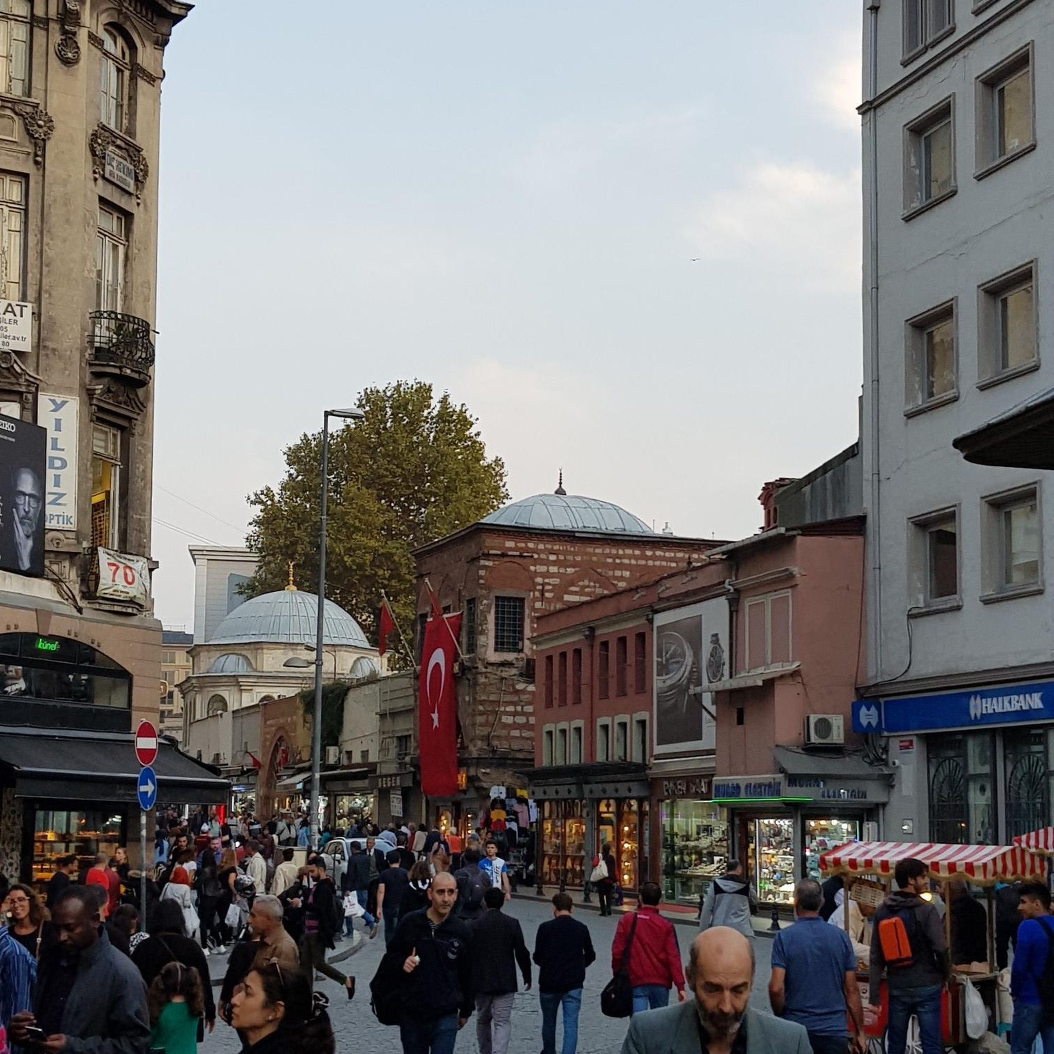
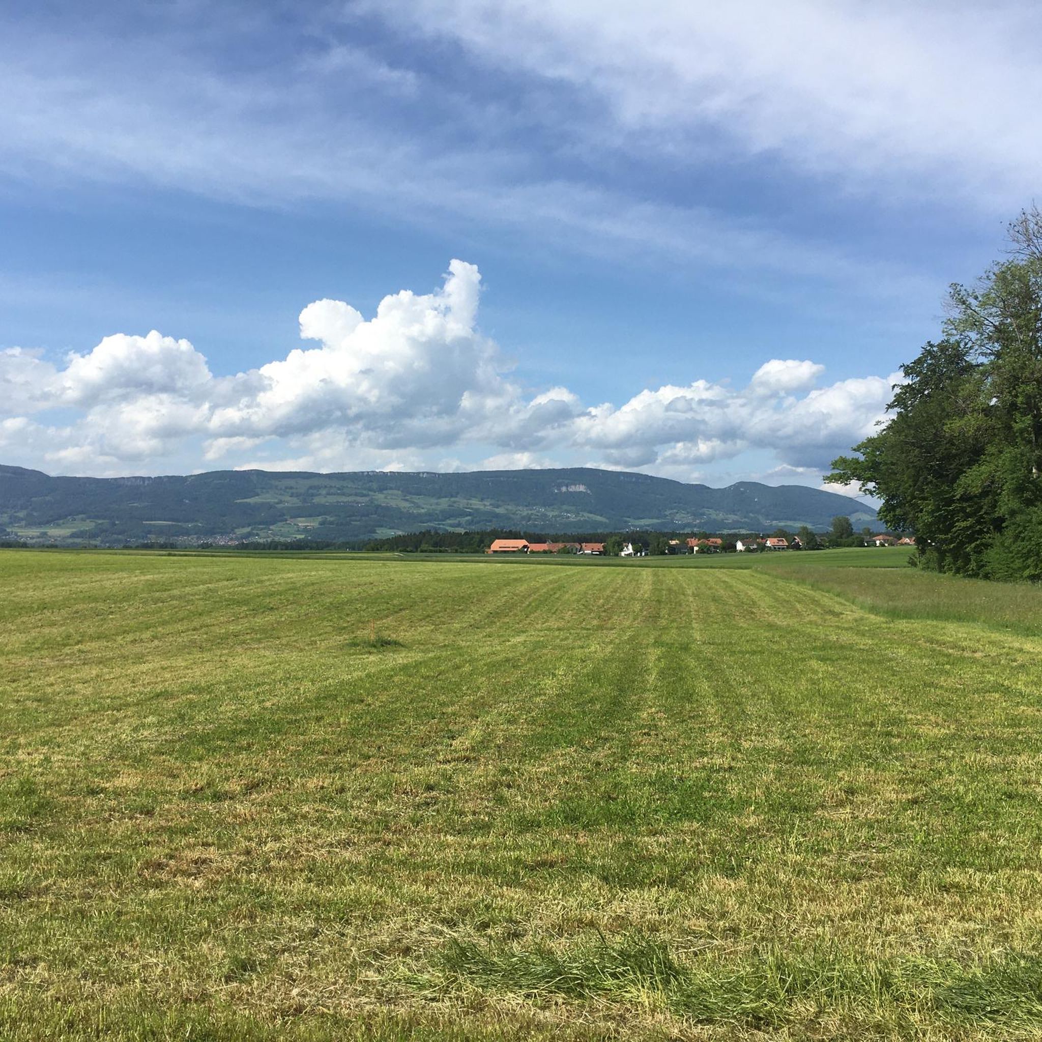
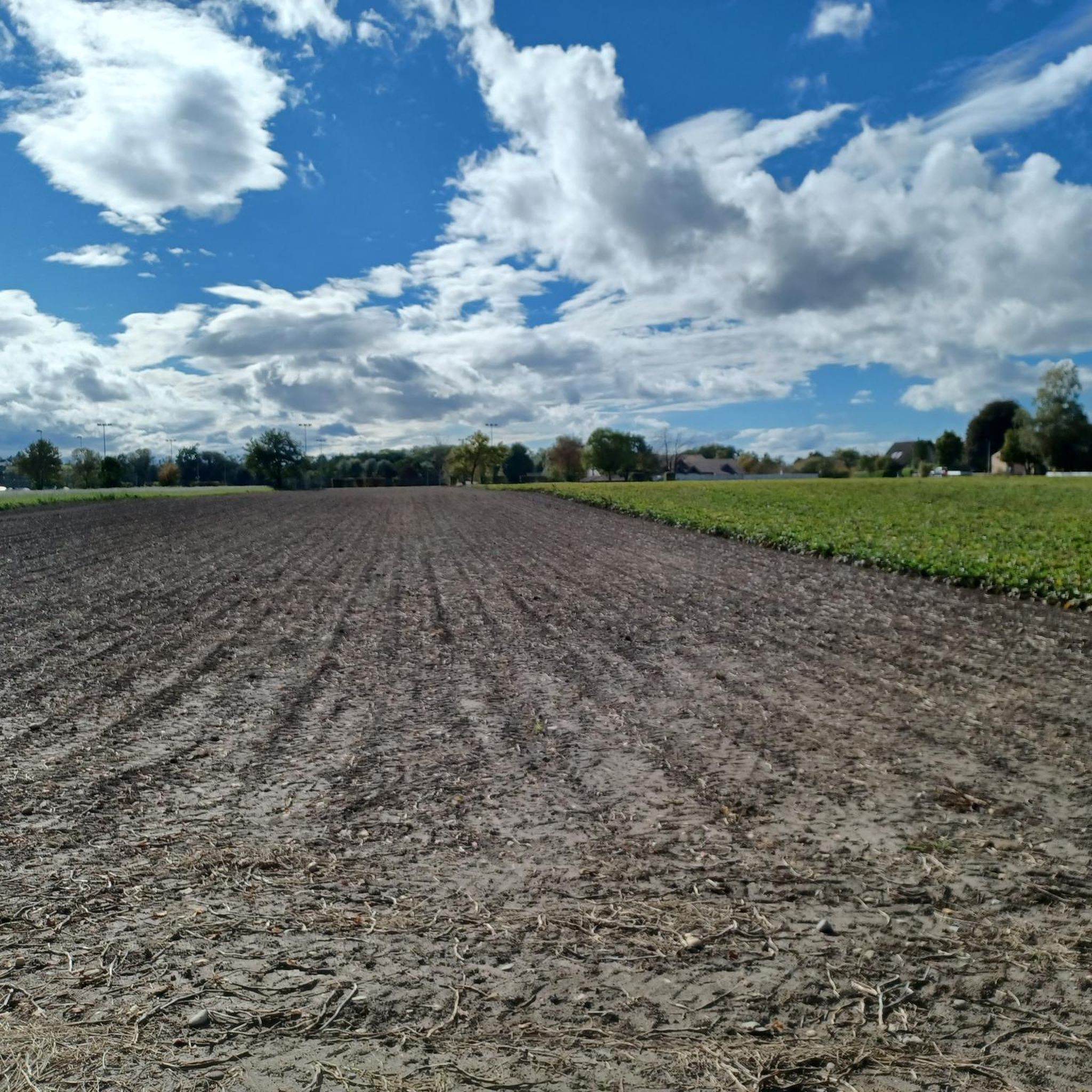
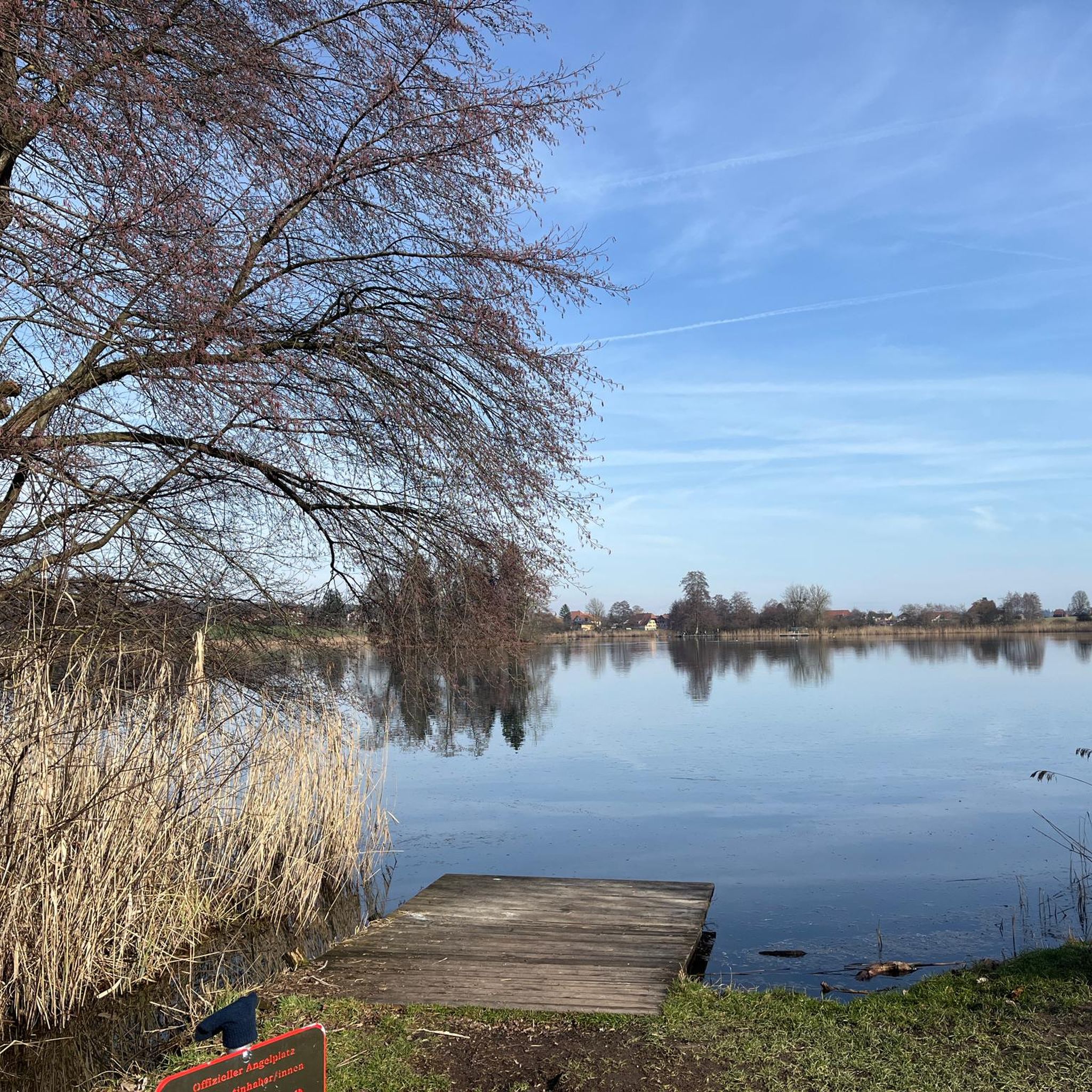
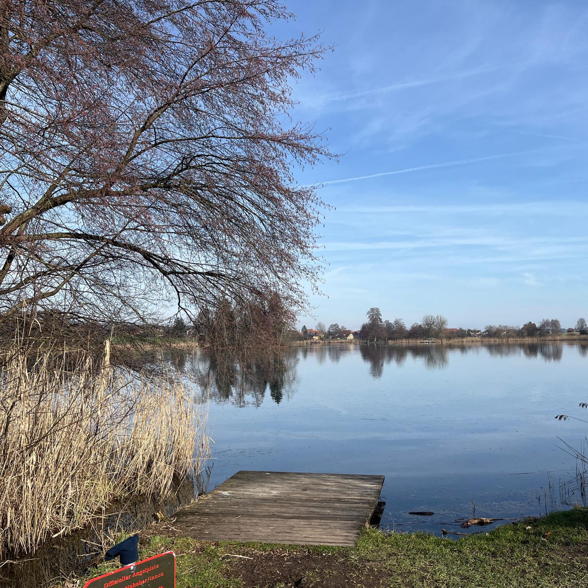
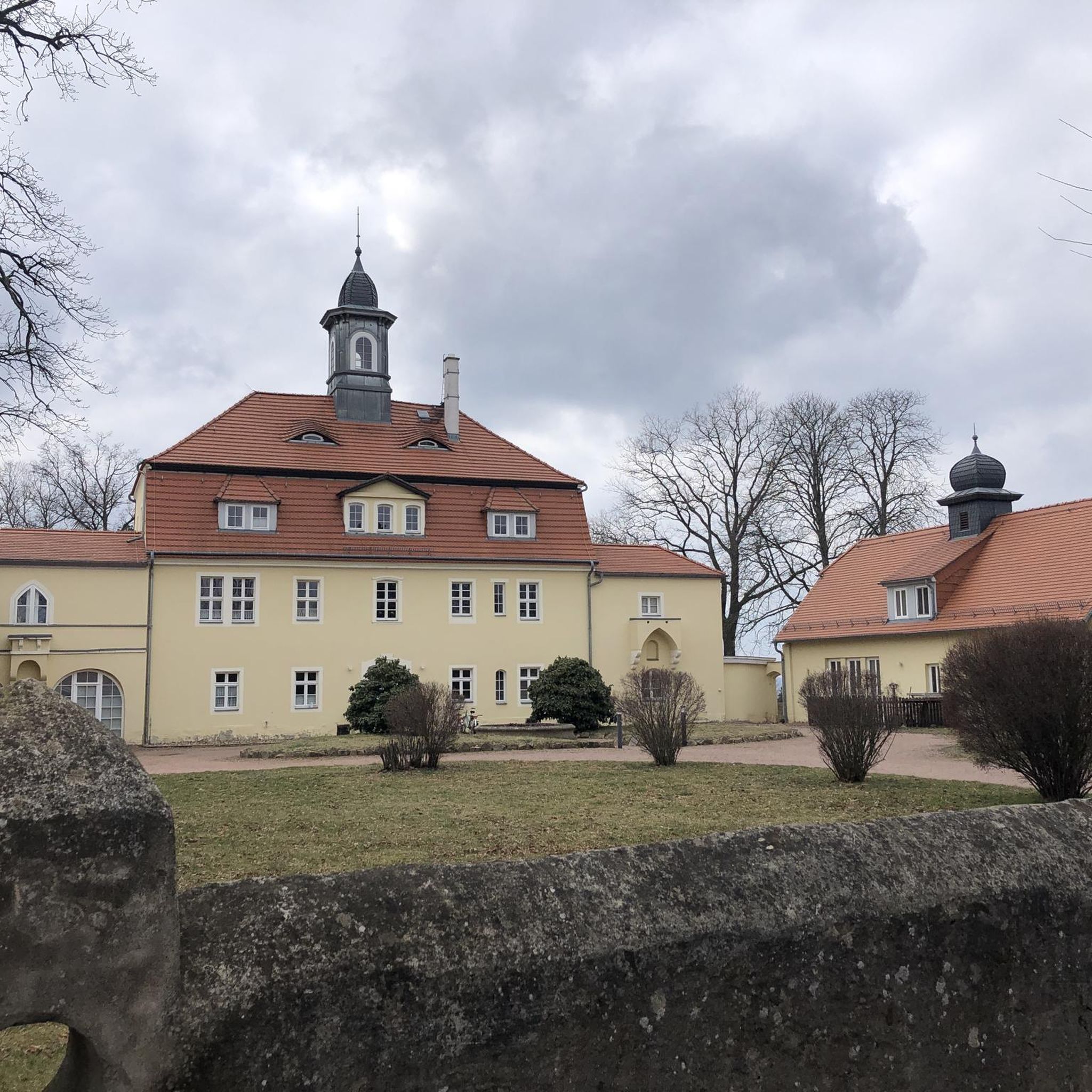
Tips from the Community

pretty here, mega super pretty
0
0


Besides the old wooden bridge, the Salt House is probably the most mentioned building in Wangen an der Aare
0
0

This excellent connector route between Niederösch and Alchenstorf offers the cyclist not only a nicely asphalted street with a smooth surface but also provides a nice view of Alchenstorf.
0
0
This excellent road with a cycleway on the smoothly asphalted surface between Burgdorf and Niederösch allows for on to be able to reach top speeds with little traffic.
0
0
The Swiss National Route 84 runs from Zürich to Thun in Upper Bernese city of Thun on the lake bearing its name. This route is for the majority of the time on smooth asphalted surface on roads which have light to no traffic, with the exception of two small stretches of gravel roads. Take this road to avoid all the truck and automobile traffic on the road between Burgdorf and Langenthal.
1
0
This cycleway provides a great alternative to avoid to the heavy rush hour traffic between Burgdorf and Langenthal on the main road, however for road bikes there is a small section where road cyclists have to take the main road to avoid a stretch of gravel road.
0
0
Frequently Asked Questions
How many road cycling routes are available around Hüniken?
There are over 300 road cycling routes available around Hüniken, offering a wide variety of options for different skill levels and preferences. These routes are highly rated by the komoot community, with an average score of 4.6 stars.
What kind of terrain can I expect on road cycling routes near Hüniken?
Road cycling around Hüniken offers diverse terrain. You'll find predominantly flat tours, such as sections of the Wasseramt-Route along the Aare River, which are ideal for relaxed rides through natural conservation areas and agricultural landscapes. For more challenging ascents, routes extend into the foothills of the Jura Mountains, providing varied experiences from tranquil river paths to rolling farmlands and hills.
Are there any family-friendly road cycling routes in the Hüniken area?
Yes, the region offers several easy road cycling routes suitable for families. Many paths along the Aare River and through the agricultural landscapes of the Wasseramt district are relatively flat and paved, providing a safe and enjoyable experience. One such route is the Wiedlisbach Old Town – Wangen an der Aare loop from Bezirk Wasseramt, which is 14.6 miles (23.6 km) long and leads through historic towns.
What are some notable landmarks or scenic viewpoints along the road cycling routes?
Road cycling routes around Hüniken offer access to various scenic and historic sites. You can pass by cultural landmarks like Lake Burgäschi, a UNESCO World Heritage site, or historical structures such as Wangen an der Aare Covered Wooden Bridge. Near Etziken, the Wasseramt-Route reaches a high point at a water tower, offering expansive views over open fields towards Solothurn and the Jura mountain range. The Landshut Castle – Biberist–Lohn Cycle Path loop from Drei Höfe also features historical sites.
Where can I find parking for road cyclists in Hüniken?
Hüniken and the surrounding municipalities offer various parking facilities. While specific dedicated cyclist parking isn't always signposted, general parking areas are available in and around the villages, especially near starting points of popular routes. The region also benefits from good public transport connections, which can be an alternative to driving.
Is public transport accessible for cyclists in Hüniken?
Yes, Hüniken benefits from good public transport connections. The larger city of Solothurn, a hub for cycling services, is readily accessible. Many public transport options in Switzerland allow for bicycle carriage, though it's always advisable to check specific regulations and peak hour restrictions with the local transport providers before your journey.
What is the best time of year for road cycling in Hüniken?
The best time for road cycling in Hüniken is generally from spring through autumn. During these seasons, the weather is most favorable, with pleasant temperatures and less precipitation, making for enjoyable rides through the agricultural fields and along the rivers. Winter cycling can be challenging due to colder temperatures and potential snow or ice, especially in higher elevations towards the Jura Mountains.
Are there cafes or pubs along the routes for a break?
Yes, as you cycle through the charming rural communities and towns in the Wasseramt district and beyond, you'll find various cafes, restaurants, and pubs. These establishments offer opportunities for a refreshing break, a meal, or to simply enjoy the local atmosphere. The larger city of Solothurn, easily accessible from Hüniken, also provides a wide range of amenities for cyclists.
Do I need any special permits for road cycling in the Solothurn canton?
Generally, no special permits are required for road cycling on public roads and designated cycle paths in the Solothurn canton. However, it's always good practice to respect local regulations, especially when cycling through nature reserves or private land. For specific regulations, you can consult the official canton of Solothurn tourism or transport websites.
What makes road cycling in Hüniken unique according to other cyclists?
Road cyclists frequently praise the tranquil rural setting and the diverse landscape around Hüniken. The area is highly rated by the komoot community, with an average score of 4.6 stars from over 300 reviews. Riders often highlight the peaceful agricultural fields, extensive forested areas, and the scenic paths along the Aare River, which offer a blend of relaxed rides and more demanding routes into the Jura Mountains foothills.
Are there challenging road cycling routes for experienced riders?
While Hüniken itself is in a rural, flatter area, its proximity to the Jura Mountains provides access to more challenging road cycling routes. These routes involve more significant elevation gains and offer rewarding vistas. For example, the region offers 32 difficult routes, providing ample opportunities for experienced cyclists seeking more arduous climbs and descents.
Can I bring my dog on road cycling routes around Hüniken?
Many road cycling routes in the Hüniken area are suitable for cycling with dogs, especially those on quieter roads or dedicated cycle paths. However, it's crucial to ensure your dog is well-trained and comfortable with cycling alongside you or in a trailer. Always keep dogs on a leash where required, especially near agricultural areas or nature reserves, and be mindful of other cyclists and pedestrians. Check local signage for any specific restrictions.
Are there any loop road cycling trails starting from Hüniken?
Yes, many road cycling routes around Hüniken are designed as loops, allowing you to start and end your ride in the same location. This is convenient for exploring the region without needing to arrange transport back. An example is the Fritzenfluh Scenic Road – Biberist–Lohn Cycle Path loop from Drei Höfe, which is 25.5 miles (41.0 km) long and offers scenic roads and cycle paths.
Most popular routes around Hüniken
Most popular attractions around Hüniken

Get inspired with the komoot mobile app


Explore more
Browse the best Road cycling routes in other regions.
