Hatfield Forest National Nature Reserve
Hatfield Forest National Nature Reserve
The best road cycling routes in Hatfield Forest National Nature Reserve
4.5
(149)
5,215
riders
409
rides
Road cycling routes in Hatfield Forest National Nature Reserve primarily utilize the surrounding network of country lanes and the accessible Flitch Way, a disused railway line. The region features a landscape of ancient wood pasture and agricultural fields, with gentle elevation changes. While the forest interior is generally unpaved, the perimeter offers well-surfaced roads and traffic-free paths suitable for road cyclists.
Best road cycling routes in Hatfield Forest National Nature Reserve
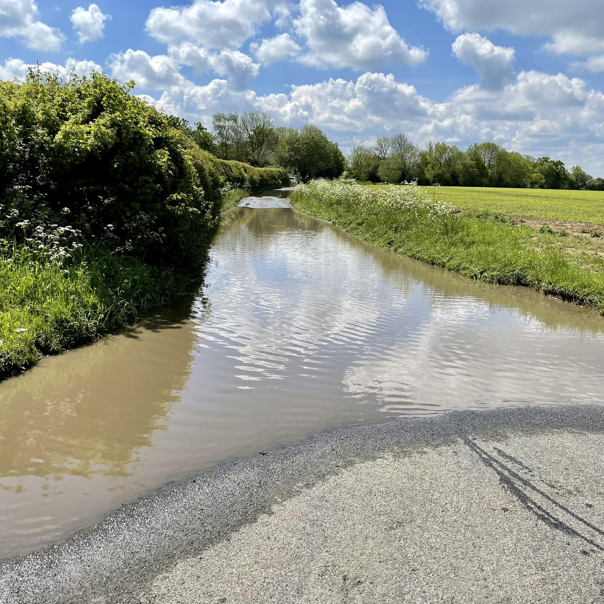
- The most popular road cycling route is Downhill Westbound – Flood-Prone Road Section loop from Takeley, a 14.0 miles (22.5 km) trail that takes 55 minutes to complete. This easy route navigates country lanes around the reserve.
- Another top favourite among local road cyclists is Roadbike loop from Takeley, a moderate 14.4 miles (23.1 km) path. This route offers varied terrain through the local countryside.
- Local road cyclists also love the The Belgian Brewer – Country Lane Between Hedgerows loop from Takeley Station, a 12.4 miles (20.0 km) trail leading through country lanes between hedgerows, often completed in about 55 minutes.
- Road cycling in Hatfield Forest National Nature Reserve is defined by ancient wood pasture, disused railway lines, and quiet country lanes. The network offers options for different ability levels, from easy loops to moderate challenges.
- The routes in Hatfield Forest National Nature Reserve are highly rated by the komoot community with an average score of 4.6 stars from over 170 reviews. More than 5,800 road cyclists have used komoot to explore Hatfield Forest National Nature Reserve's varied terrain.
Last updated: July 2, 2026
11
riders
22.5km
00:55
120m
120m
Easy road ride. Great for any fitness level. Mostly well-paved surfaces and easy to ride.
14
riders
Easy road ride. Great for any fitness level. Mostly well-paved surfaces and easy to ride.

Sign up for free
5.0
(1)
12
riders
23.1km
01:06
130m
130m
Moderate road ride. Great for any fitness level. Some segments of this route may be unpaved and difficult to ride.
5.0
(1)
12
riders
23.9km
01:02
150m
150m
Easy road ride. Great for any fitness level. Mostly well-paved surfaces and easy to ride.
5.0
(1)
7
riders
Easy road ride. Great for any fitness level. Mostly well-paved surfaces and easy to ride.
Get access to more routes and recommendations from other explorers.
Sign up for free
Already have an account?
Our route recommendations are based on thousands of hikes, rides, and runs completed by other people on komoot.
Start today with a free account
Your next adventure awaits.
Login or Signup
Popular around Hatfield Forest National Nature Reserve
Tips from the Community


An easy downhill westbound and one of those not too steep, but "will it ever end?!" climbs eastbound.
0
0
An easier traverse eastbound. There's a steep climb towards the end eastbound, but heading west, from the river to London Road, is a deceptively difficult drag of a climb. This road gets very busy at rush hour, but the cars are generally good at staying behind.
0
0

Sign and view on the Filtch Way, next to the entrance into Hatfield Forest.
0
0

Yeomans cafe has a gate at the back to a small outside area for your bike but you'll probably have to ask to unlock.
0
0

It also goes uphill if you ride it from west to east.
0
0
Frequently Asked Questions
How many road cycling routes are available in Hatfield Forest National Nature Reserve?
There are over 450 road cycling routes available in and around Hatfield Forest National Nature Reserve on komoot. These routes cater to various skill levels, from easy loops to more challenging rides through the surrounding countryside.
What is the general difficulty level of road cycling routes in this region?
The majority of road cycling routes in the Hatfield Forest area are rated as easy or moderate. Specifically, there are over 175 easy routes and more than 270 moderate routes, making the area accessible for a wide range of cyclists. Only a small number of routes are considered difficult.
What kind of terrain can I expect on road cycling routes around Hatfield Forest?
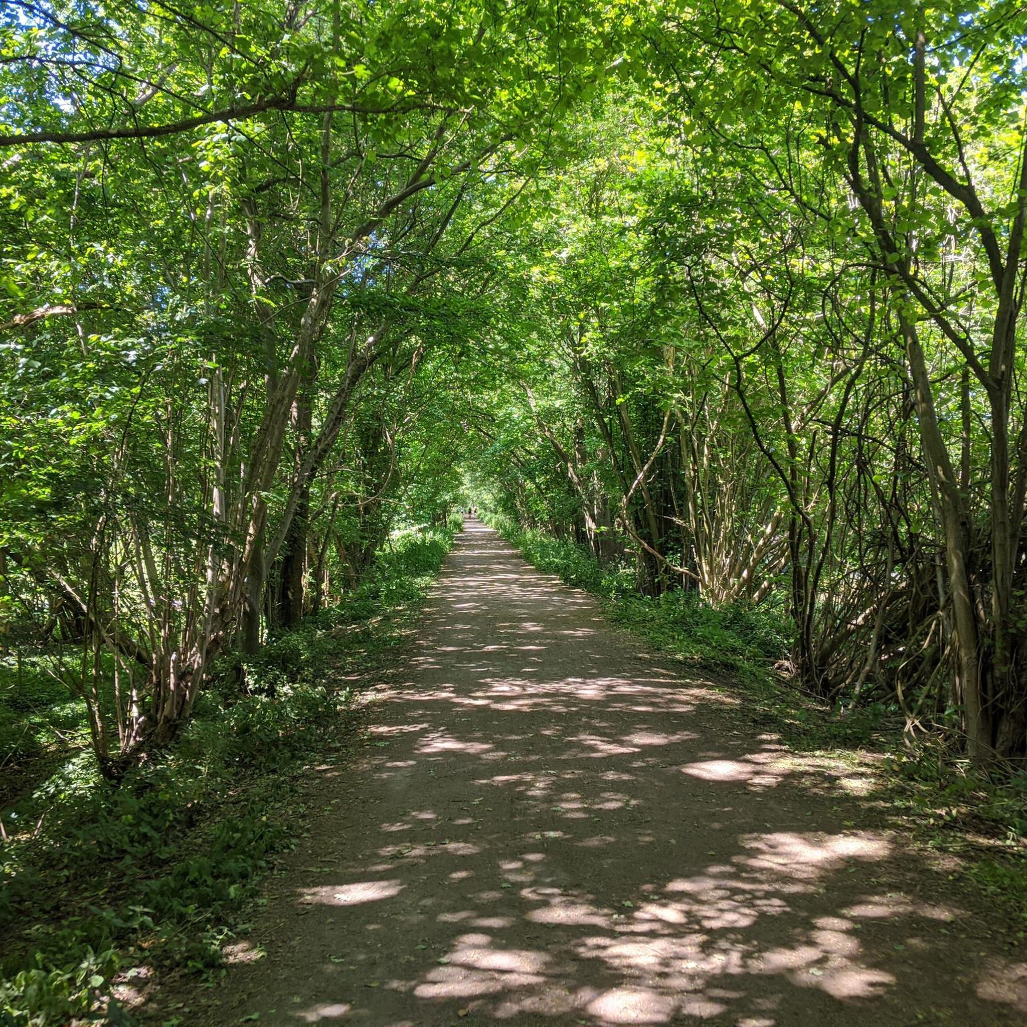
Road cycling routes primarily utilize the surrounding network of quiet country lanes and the accessible Flitch Way. The region features a landscape of ancient wood pasture and agricultural fields. The Flitch Way, a disused railway line, is particularly well-suited for road cycling as it is flat, traffic-free, and well-surfaced.
Are there any traffic-free options for road cyclists near Hatfield Forest?
Yes, the Flitch Way, a disused railway line that runs along the northern boundary of Hatfield Forest, is an excellent traffic-free option. It's described as flat, well-surfaced, and accessible for cyclists of all abilities, making it ideal for a relaxed ride.
Are there many hills or significant elevation changes on the road cycling routes?
The region generally features gentle elevation changes. For example, routes like the Downhill Westbound – Flood-Prone Road Section loop from Takeley have an elevation gain of around 125 meters over 22.5 km, indicating a relatively flat to gently rolling terrain suitable for road cycling.
Are there family-friendly road cycling routes in the Hatfield Forest area?
Absolutely. The Flitch Way is particularly recommended for families due to its flat, traffic-free, and well-surfaced nature, making it accessible for cyclists of all ages and abilities. Many of the easy-rated country lane loops are also suitable for family outings.
What natural features or landmarks can I see while road cycling near Hatfield Forest?
While the forest interior is mostly unpaved, road cycling routes around its perimeter and through the surrounding countryside offer glimpses of ancient wood pasture, agricultural fields, and historic hedgerows. You might also spot wildlife such as deer and various bird species. The ornamental lake and the 18th-century Shell House are notable features within the forest, accessible from nearby routes.
What do other cyclists enjoy most about road cycling in Hatfield Forest National Nature Reserve?
The area is highly rated by the komoot community, with an average score of 4.6 stars from over 170 reviews. Cyclists often praise the quiet country lanes, the well-maintained Flitch Way, and the scenic views of the ancient wood pasture and surrounding countryside.
Is there parking available for road cyclists visiting Hatfield Forest?
Yes, there are parking facilities available near Hatfield Forest, which can serve as starting points for road cycling routes. Many routes, such as those starting from Takeley, are easily accessible by car with nearby parking options.
What is the best time of year to go road cycling in Hatfield Forest National Nature Reserve?
The area is enjoyable for road cycling throughout much of the year. In late spring and early summer, the wood pastures are transformed by golden buttercups, offering particularly scenic rides. However, the well-surfaced country lanes and the Flitch Way are generally suitable for cycling in most seasons, weather permitting.
Are there any circular road cycling routes available?
Yes, many of the road cycling routes in the Hatfield Forest area are circular, allowing you to start and end at the same point. Examples include the Roadbike loop from Takeley and The Belgian Brewer – Country Lane Between Hedgerows loop from Takeley Station, which offer convenient round trips.
Can I combine road cycling with exploring Hatfield Forest itself?
While the interior of Hatfield Forest is generally more suitable for off-road cycling due to unpaved and uneven surfaces, there are entrances to the forest directly off the Flitch Way. This allows road cyclists to easily combine a ride on the Flitch Way with a walk or exploration of the more accessible perimeter areas of the forest.
Most popular routes in Hatfield Forest National Nature Reserve

Get inspired with the komoot mobile app


Explore more
Browse the best Road cycling routes in other regions.
