The best MTB trails in Farne Islands National Nature Reserve
4.3
(5)
39
riders
5
rides
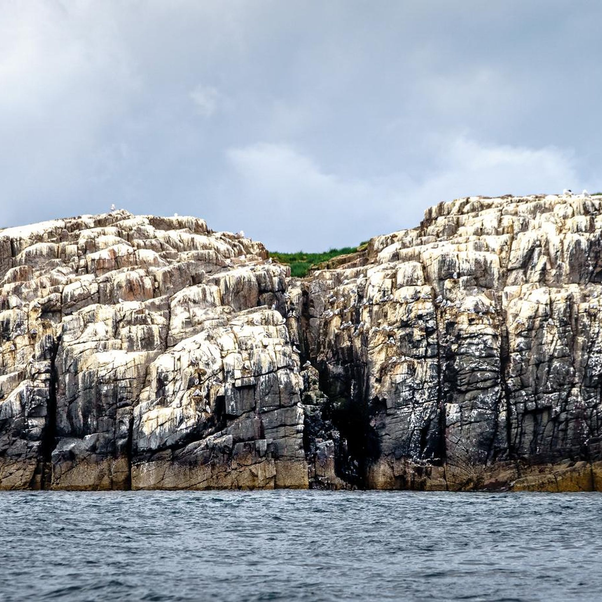
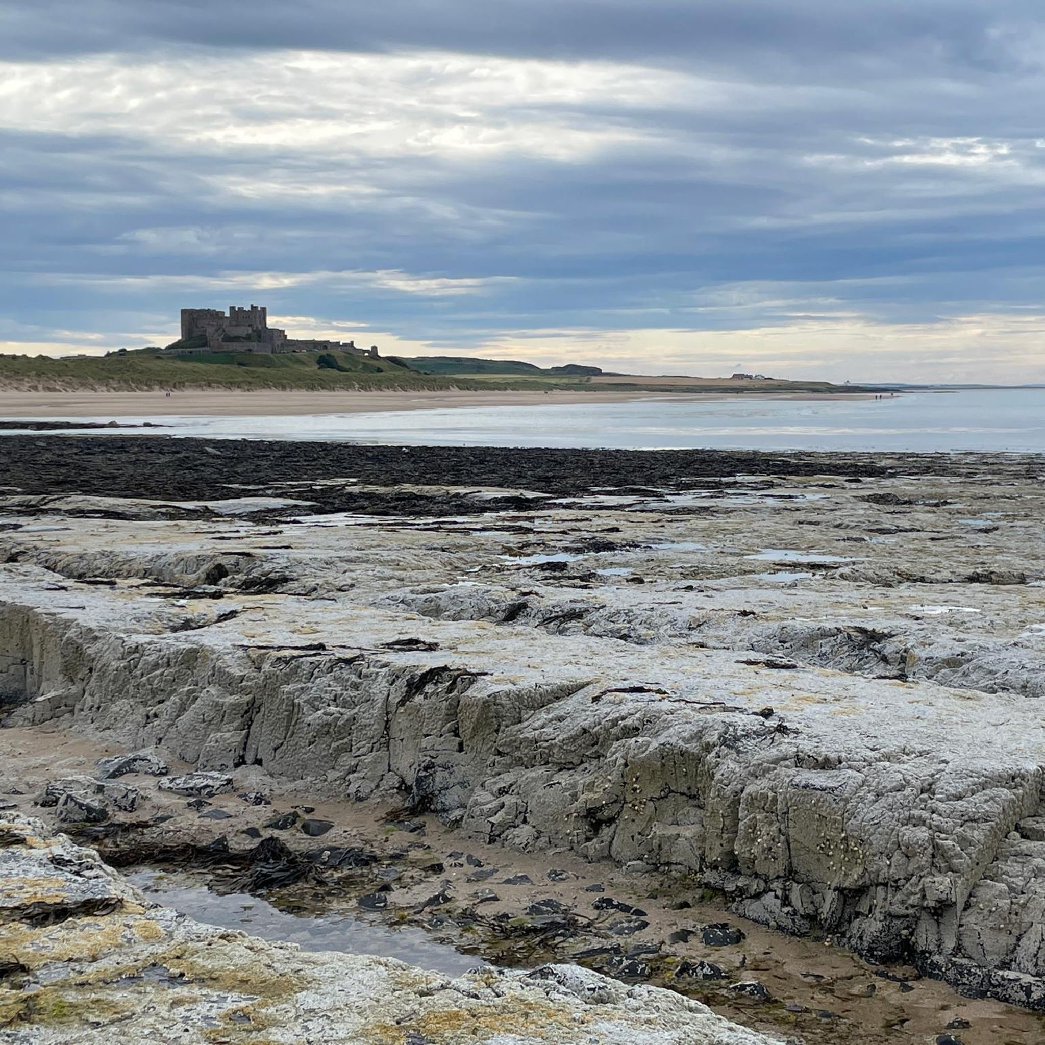
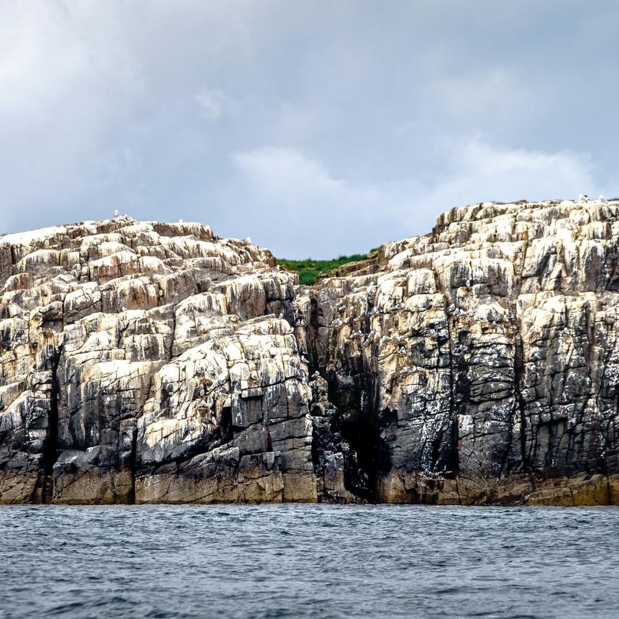
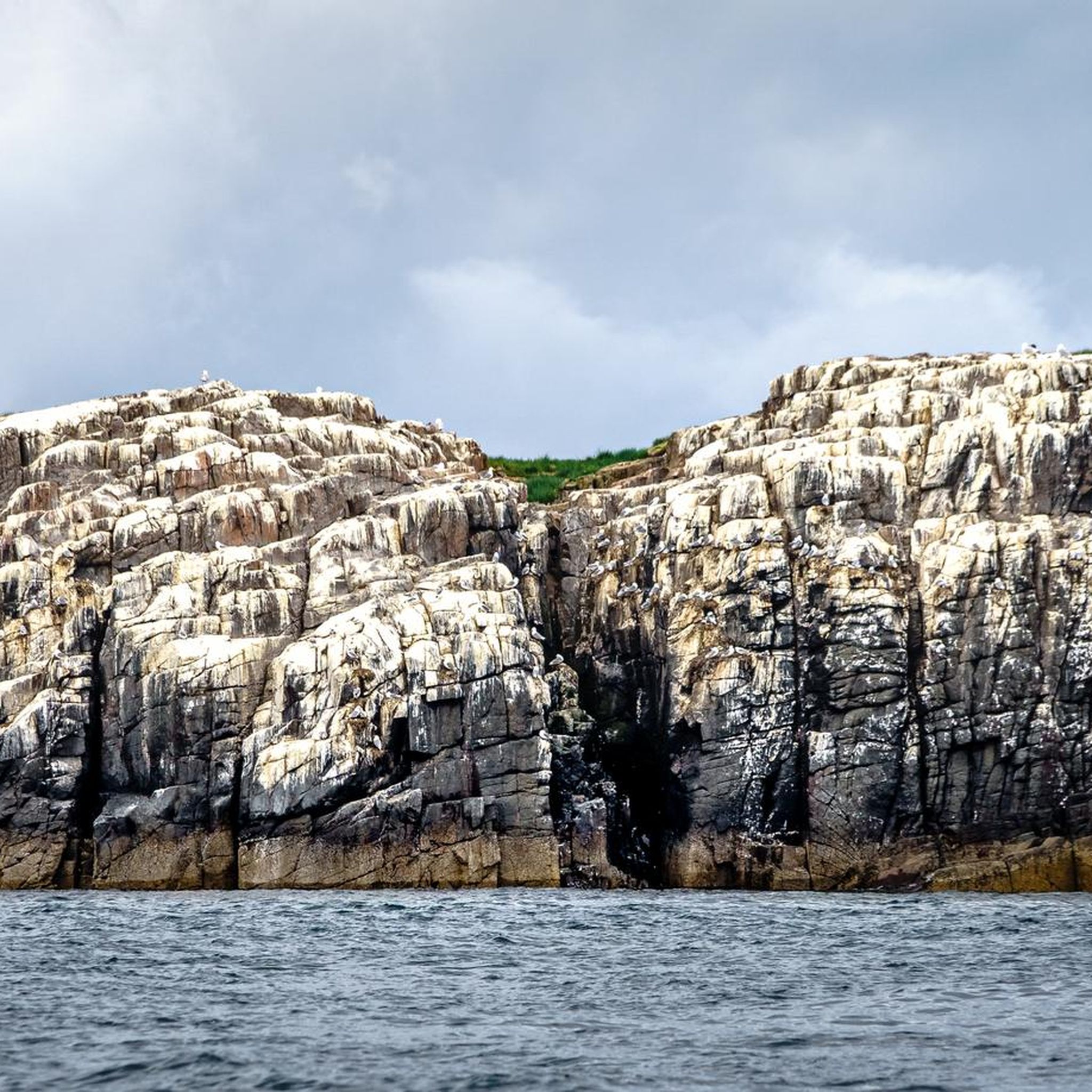
Mountain biking in Farne Islands National Nature Reserve primarily involves routes along the Northumberland mainland, providing scenic views of the islands. The terrain features coastal paths, gentle hills, and historic castle vistas. These routes can range from easy, mostly paved surfaces to more challenging segments with unpaved sections and notable elevation gains. The area is characterized by its coastal landscape and views towards the rocky islets of the Farne Islands.
Best mountain bike trails in Farne Islands National Nature Reserve
…Last updated: October 11, 2026
8
riders
Moderate mountain bike ride. Good fitness required. Suitable for all skill levels.
4.0
(1)
10
riders
43.4km
02:20
230m
240m
Moderate mountain bike ride. Good fitness required. Suitable for all skill levels.

Easy mountain bike ride. Great for any fitness level. Suitable for all skill levels.
4.5
(4)
17
riders
55.2km
03:03
310m
310m
Moderate mountain bike ride. Good fitness required. Suitable for all skill levels.
4
riders
36.6km
02:25
410m
410m
Moderate mountain bike ride. Good fitness required. Advanced riding skills necessary.
Our route recommendations are based on thousands of hikes, rides, and runs completed by other people on komoot.
Start today with a free account
Your next adventure awaits.
Tips from the Community

Short walk on from St. cuthberts cave. Well worth combining into a work in the area.
0
0


Chathill train station is located in a rural area, the main use seems to be serving the small villages close by. I was not sure if the station was still in use, looking at the southbound side of the track it gives the impression that it could be closed, but the northern side is clearly open
0
0
Elanors Byre is a trending building located in a rural area where there seems to be only one house, a church and cemetery. I did not go in the byre but I was thinking it would have collectable items for the home and garden.
0
0
You might be surprised to see these canvas wigwam type tents. There are no buildings close to them, just the wigwams, a small car park and a view of The Cheviot Hills
0
0
Keep your head down, there are several signs around this area and slightly further into the trail. The local golf course has a road cutting through an area where people hit the balls from, literally straight towards your location if you pass over the road towards the beach. Just be careful and look around to see who is aiming where.
0
0
The Landing is a popular pub where many of the caravan site residents drink and eat. There is a car park, public toilets and a mobile cafe opposite this popular pub. The seating at the Landing has many canopies covering the seated areas and looks relaxed
1
0
It is easy to park your car around Sea Lane, Embleton. Other bikers were in the vicinity on the day of the ride. There are good views downhill towards the sea front from this location
1
1
Frequently Asked Questions
Can I mountain bike directly on the Farne Islands themselves?
No, the Farne Islands are a protected National Nature Reserve and Site of Special Scientific Interest, primarily accessible by boat for wildlife observation and historical exploration. Mountain biking in the 'Farne Islands National Nature Reserve' context refers to routes on the Northumberland mainland that offer scenic views of the islands.
What kind of mountain biking can I expect in the Farne Islands area?
Mountain biking in this region primarily involves routes along the Northumberland mainland. You can expect coastal paths, gentle hills, and historic castle vistas. The terrain ranges from mostly paved surfaces suitable for all skill levels to more challenging routes with unpaved segments and notable elevation gains.
Are there mountain bike trails suitable for beginners in the Farne Islands area?
Yes, there is at least one easy mountain bike route available. For example, The Craster Arms – Sea Lane Start Point loop from Northumberland Coast National Landscape is an easy 13.7-mile (22.0 km) trail that leads through coastal scenery, often completed in about 1 hour 9 minutes.
Are there any challenging mountain bike routes for experienced riders?
While there are no routes explicitly graded as 'difficult' in the immediate guide data, several moderate routes offer significant distances and elevation gains. For instance, Craster Harbour – Sugar Sands Beach loop from North Sunderland is a moderate 39.3-mile (63.3 km) trail with over 360 meters of elevation gain, providing a substantial ride.
What are the typical lengths of mountain bike trails in this region?
The mountain bike trails in the Farne Islands area vary in length. You'll find routes ranging from shorter options around 13.7 miles (22 km) to longer excursions up to 39.3 miles (63.3 km), offering diverse experiences for different preferences.
What do other mountain bikers enjoy the most about mountain biking in the Farne Islands area?
The area is highly rated by the komoot community, with an average score of 4.7 stars from over a few reviews. Mountain bikers often praise the scenic coastal views, the variety of terrain, and the opportunity to combine cycling with exploring historic sites like castles along the Northumberland coastline.
Are there any loop trails for mountain biking in the Farne Islands area?
Yes, all the mountain bike routes listed in this guide are loop trails, allowing you to start and finish at the same point. Examples include Craster Harbour – Sugar Sands Beach loop from North Sunderland and Craster Harbour – Seahouses Harbour loop from Bamburgh.
What kind of wildlife can I expect to see while mountain biking in the Farne Islands area?
While mountain biking on the mainland, you'll enjoy coastal views. The Farne Islands themselves are internationally significant for breeding seabirds like puffins, guillemots, and razorbills, as well as Atlantic grey seals. You can often spot these from the mainland or by taking a boat trip from Seahouses.
What historical sites or landmarks can I see along the mountain bike routes?
Many routes offer views of significant historical landmarks. For example, the Craster Harbour – Seahouses Harbour loop from Bamburgh provides views of Bamburgh Castle. The region is rich with coastal castles and historical points of interest that you can appreciate from your bike.
What is the best season for mountain biking in the Farne Islands area?
The best season for mountain biking along the Northumberland coast is generally spring through autumn (April to October) when the weather is milder and daylight hours are longer. This also coincides with the peak seabird breeding season on the Farne Islands, offering excellent wildlife viewing opportunities from the mainland.
Are there any other mountain biking areas nearby if I want to explore further?
Yes, if you're looking for a different mountain biking experience, Kielder Water and Forest Park, located further inland from the Farne Islands, is renowned for having one of the country's largest mountain bike trail networks.
Most popular routes in Farne Islands National Nature Reserve

Get inspired with the komoot mobile app


Explore more
Browse the best MTB trails in other regions.
