The best walks and hikes in Nidderdale Aonb
4.6
(3881)
31,587
hikers
443
hikes
Hikes in Nidderdale AONB cover a varied landscape of rolling hills, expansive moorlands, and serene river valleys in North Yorkshire. The region is characterized by a mix of high, heather-clad moorlands and gentler pastoral landscapes. The area features numerous reservoirs, including Gouthwaite and Scar House, and the River Nidd which creates scenic riverside paths.
Best hiking trails in Nidderdale Aonb
- The most popular hiking route is the Brimham Rocks & Glasshouses village loop from Pateley Bridge, a 8.4 mile (13.5 km) trail that takes about 3 hours 45 minutes to complete. The route features the area's notable weathered rock formations.
- Another top favourite among local hiking enthusiasts is the Fountains Abbey & Studley Royal Park loop — Yorkshire Dales National Park, a moderate 5.6 mile (9.1 km) path. This route explores the historic abbey ruins and landscaped water gardens.
- Local hiking enthusiasts also love the Thruscross Reservoir and Cloggers Lane loop from Thruscross Reservoir Car Park — Nidderdale, a 4.7 mile (7.5 km) trail leading around the reservoir, often completed in about 2 hours.
- Hiking in Nidderdale Aonb is defined by tranquil reservoirs, rolling farmland, and dramatic gritstone moorlands. The network of over 450 trails offers routes suitable for different fitness levels.
- The routes in Nidderdale Aonb are highly rated by the komoot community with an average score of 4.5 stars from over 2,900 reviews. More than 26,000 hikers have used komoot to explore Nidderdale Aonb's varied terrain.
Last updated: September 27, 2026
4.7
(95)
845
hikers
10.9km
02:51
80m
80m
Embark on a moderate hike around the tranquil waters of Fewston and Swinsty Reservoirs, a 6.8-mile (10.9 km) route that offers continuous waterside views. You will gain 247 feet (75 metres) in elevation over approximately 2 hours and 50 minutes, making it an accessible yet rewarding outing. The well-maintained paths wind through picturesque woodlands, providing a refreshing natural atmosphere. As you hike, you will pass the impressive Fewston Reservoir Dam and Overflow, a striking feature where water gracefully cascades between the two reservoirs. This circular trail immerses you in the serene beauty of the Nidderdale National Landscape.
Planning your visit to the Fewston and Swinsty Reservoirs is straightforward, as the route is known for its excellent accessibility. The paths are well-maintained, making it a suitable hiking destination for families and individuals alike. You will find numerous picnic areas and benches strategically placed along the trail, offering convenient spots to rest and enjoy the scenery. These amenities are ideal for a leisurely break during your hike. The entire route is managed by Yorkshire Water, which helps ensure a consistently pleasant and easy-to-navigate experience for all visitors.
This popular trail stands out for its unique setting within the scenic Nidderdale National Landscape, offering a harmonious blend of natural beauty and managed accessibility. The close proximity of the path to the water's edge throughout the entire loop provides a constant connection to the reservoir environment. It is a prime example of how well-maintained infrastructure can enhance the enjoyment of a natural area, making it a cherished local gem for outdoor enthusiasts.
4.8
(135)
601
hikers
13.5km
03:46
260m
260m
Embark on a moderate 8.4-mile (13.5 km) hike through the scenic Nidderdale Area of Outstanding Natural Beauty, a journey that typically takes around 3 hours and 45 minutes. You will gain about 865 feet (264 metres) in elevation as you explore varied terrain, from tranquil riverside paths along the River Nidd to peaceful woodlands and open farmland. The highlight of this route is undoubtedly Brimham Rocks, where you'll encounter bizarrely shaped gritstone pinnacles and impossibly balanced boulders, carved by glaciers and wind over centuries. Expect a mix of natural paths, asphalt, and gravel, with some sloping sections, steps, and steep drops around the rocks themselves, offering panoramic views across Nidderdale and to the Vale of York.
This loop begins in Pateley Bridge, a charming market town known as the 'Capital of Nidderdale.' While much of the walk is straightforward, some uphill sections exist, particularly the climb back to Brimham Rocks from Smelthouses. Sturdy footwear is highly advisable due to rough footpaths and sections with rocks and tree roots. The paths around Brimham Rocks are not suitable for mobility scooters, prams, or wheelchairs due to steep gradients and uneven surfaces, so plan accordingly if you are visiting with young children or those with mobility challenges.
Beyond the dramatic rock formations, the trail offers a rich tapestry of local history and natural beauty. You will pass through picturesque villages like Glasshouses and Smelthouses, and Pateley Bridge itself is home to the world's oldest sweet shop. The route also incorporates sections of well-known long-distance paths, including the Nidderdale Way and the Six Dales Trail, connecting you to a wider network of hiking adventures. Keep an eye out for public art installations, such as the

4.6
(39)
247
hikers
7.65km
02:09
150m
160m
Embark on The Druid's Temple & Sole Beck loop from High Knowle, a moderate hike that takes you through the varied landscapes of the Swinton Estate. This 4.8-mile (7.7 km) route features a diverse terrain, including paths through Druid's Plantation, field paths alongside Sole Beck Gill, and sections of moorland. You will gain about 495 feet (151 metres) in elevation over approximately 2 hours and 8 minutes, enjoying views of Leighton Reservoir and tranquil waterside sections along the River Burn. The highlight is the intriguing Druid's Temple, a 19th-century folly nestled within the woods.
To begin your hike, head to the Swinton Bivouac, which serves as the starting point and offers amenities like a car park. While the trail is generally accessible, some sections can be steep and uneven, and paths may be muddy, especially after rain. You will encounter a mix of paths, minor roads, and unpaved sections, with some parts featuring gorse and bracken. Sure-footedness is recommended for certain areas, and you should be prepared for a few stiles along the way.
This trail is set within the expansive Swinton Estate in North Yorkshire, known for its woodlands, reservoirs, and moorland. The Druid's Temple, a unique feature on the route, was built in 1820 by William Danby to provide local employment, styled after ancient stone circles. Beyond this folly, you will also pass by the picturesque Sole Beck Gill and the historical ruins of Lobley Hall. Sections of the loop follow the longer-distance Ripon Rowel Walk, offering a glimpse into the region's broader trail network.
4.5
(22)
183
hikers
Embark on the Thruscross Reservoir and Cloggers Lane loop, an easy hike that takes you around the tranquil waters of Thruscross Reservoir. This circular route spans 4.7 miles (7.5 km) and involves a gentle elevation gain of 220 feet (67 metres), making it a rewarding outdoor experience you can complete in about 1 hour and 59 minutes. You will discover varied landscapes, from peaceful woodland and open moorland to crags, streams, and sections alongside the River Washburn.
When planning your visit, be aware that while the trail is easy, the terrain can be rugged and varied, including rough pastures, rocky sections, and potentially muddy banks with tree roots. Sturdy boots are highly recommended to navigate these conditions, and the route is not suitable for prams. You will find parking available at Thruscross Reservoir Car Park, ensuring convenient access to this peaceful, remote escape.
One of the unique features of this hike is the opportunity to see the Ruins of West End Village. These historical remnants become visible when the reservoir's water levels are low, adding an intriguing layer of history to your walk through the Nidderdale Area of Outstanding Natural Beauty. This detail makes the route particularly special, offering more than just scenic views.
4.8
(24)
135
hikers
9.06km
02:26
110m
110m
Embark on a moderate 5.6-mile (9.1 km) hike through the Fountains Abbey & Studley Royal Park, a UNESCO World Heritage Site. This loop takes approximately 2 hours and 26 minutes to complete, with an elevation gain of 368 feet (112 metres). You will wander through gentle parkland, past the impressive ruins of Fountains Abbey, and into the formal Georgian Studley Royal Water Garden, crossing charming arched bridges over the River Skell in Seven Bridges Valley.
When planning your visit, be aware that the trail follows well-maintained paths, but sections can become muddy, so wear sensible walking boots. The estate is a popular destination, and you should check for any entrance fees or specific opening times before you go. You might also spot wild deer in the expansive deer park, especially during autumn months.
This trail is notable for its unique blend of natural beauty and historical significance. The remarkably preserved 12th-century Fountains Abbey and the exquisite 18th-century Studley Royal Water Garden showcase centuries of landscape design and monastic history. The site offers a highly-rated experience, providing a glimpse into England's rich heritage and diverse ecosystems.
Get access to more routes and recommendations from other explorers.
Already have an account?
Our route recommendations are based on thousands of hikes, rides, and runs completed by other people on komoot.
Start today with a free account
Your next adventure awaits.
Popular around Nidderdale Aonb
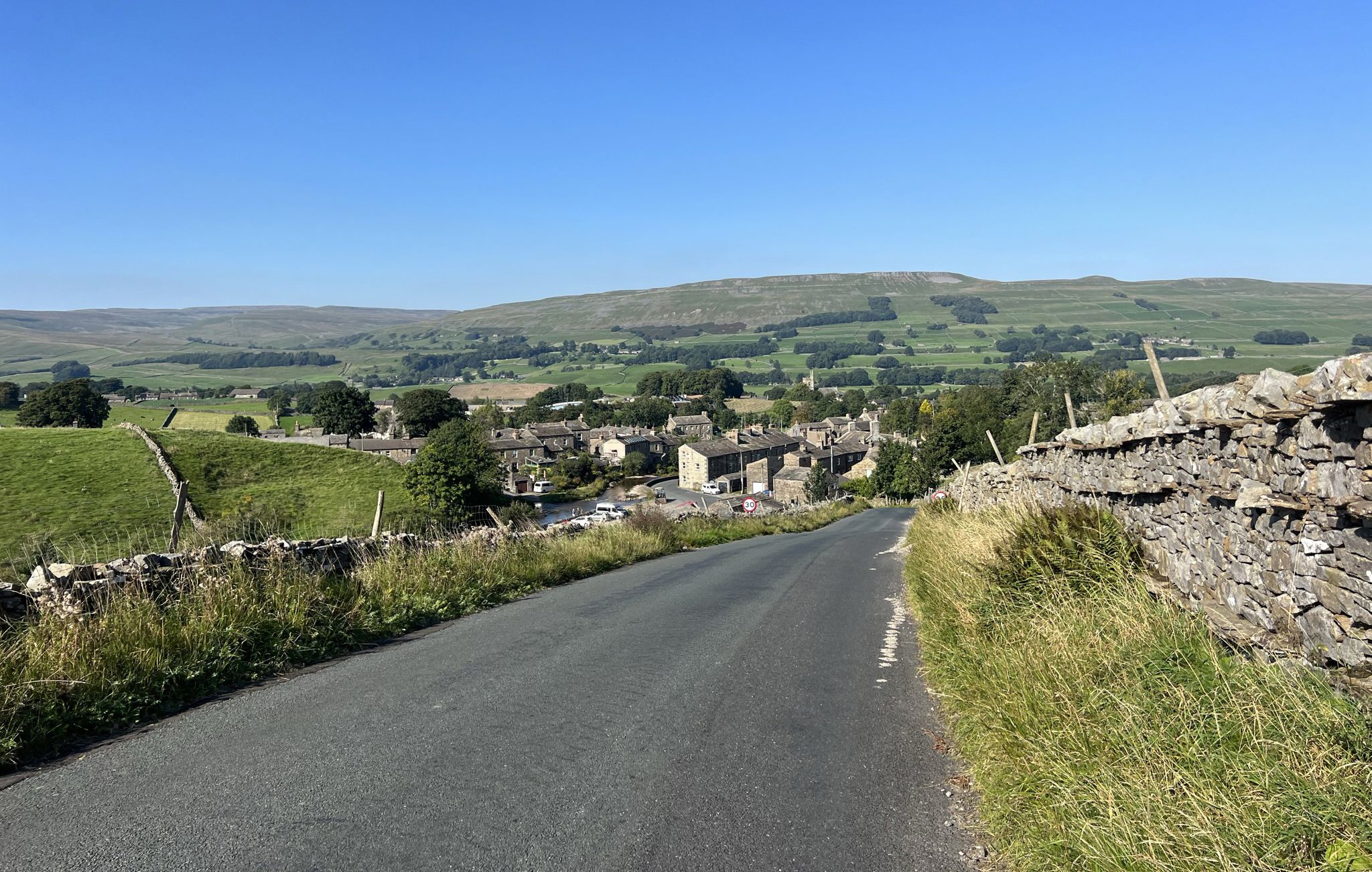
Yorkshire Dales National Park – A Walk in the Parks
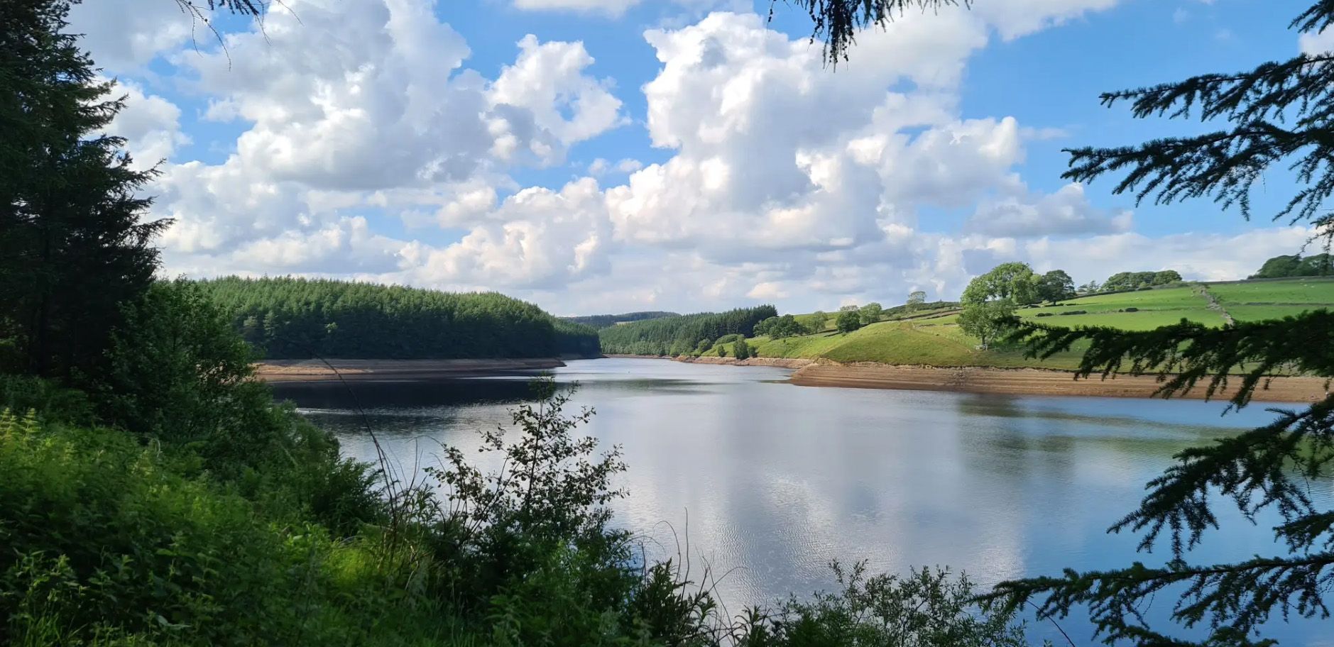
Six Dales Trail — Hike quintessential Yorkshire countryside
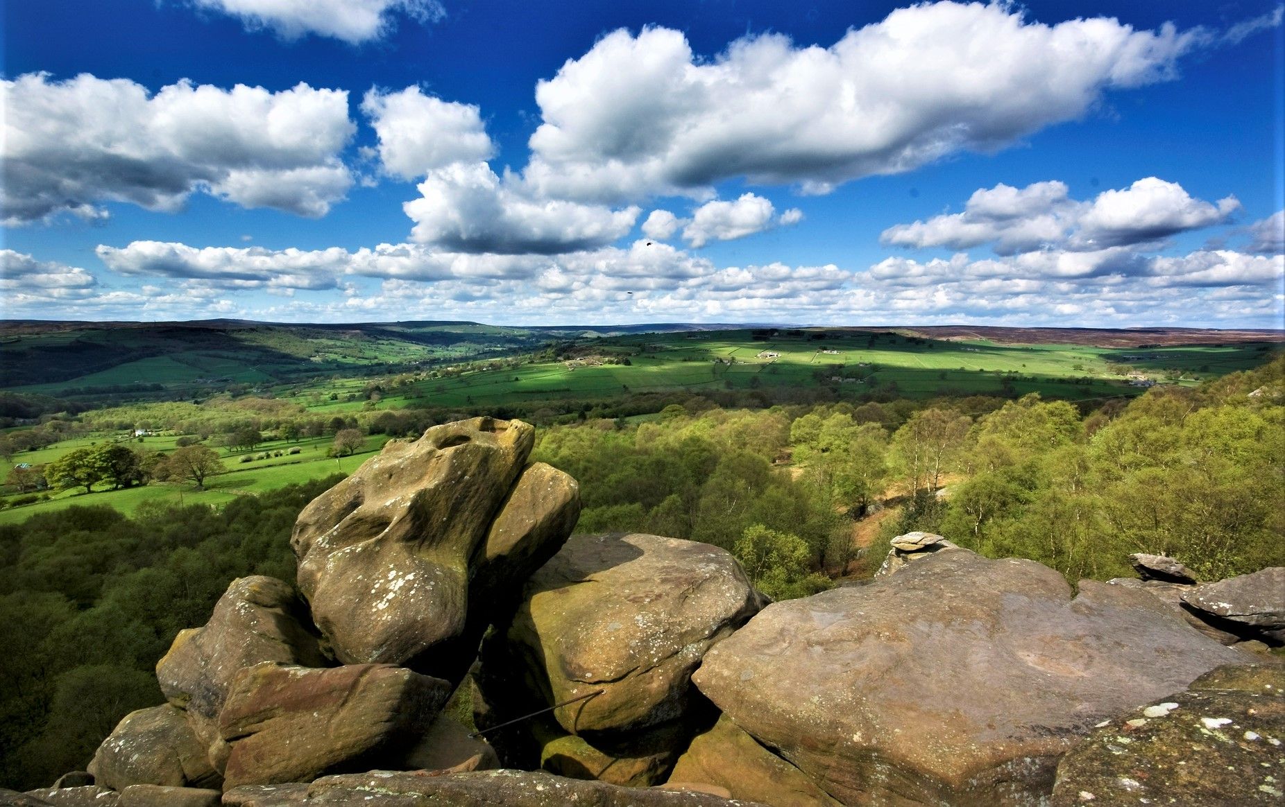
Nidderdale Way — Discover one of Yorkshire's most loved dales

Cycle the Way of the Roses – Historic cities to rolling hills
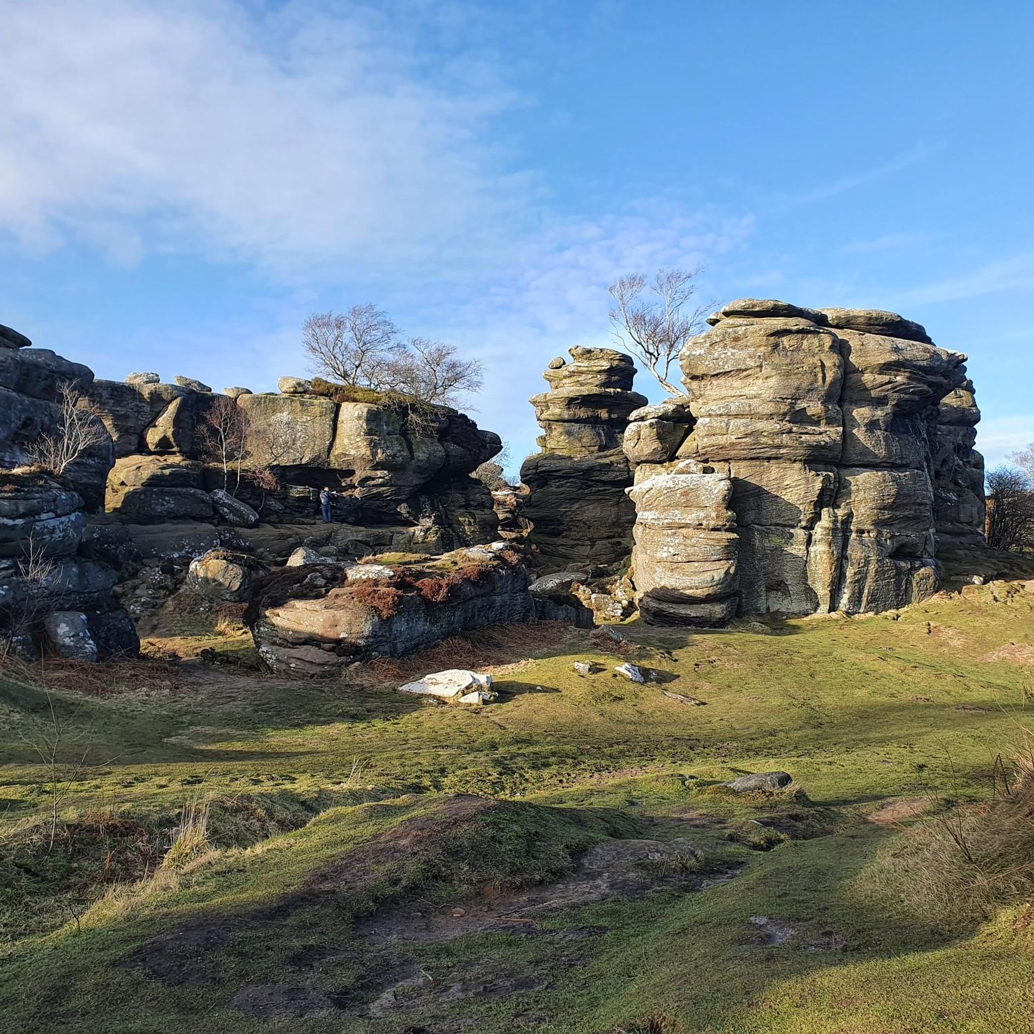
Running Trails in Nidderdale Aonb
MTB Trails in Nidderdale Aonb
Cycling in Nidderdale Aonb
Road Cycling Routes in Nidderdale Aonb
Gravel biking in Nidderdale Aonb
Other adventures in Nidderdale Aonb


Tips from the Community


A hidden gem and interesting story behind the construction of the Temple. Beautiful views and an interesting undulating walk through stunning countryside.
0
0

Quintessentially pretty market town, arrive early to find suitable parking, best place is next to the showground on the southern side of the bridge over the River Nidd. Honesty box only (no payment cards), cheap at £1 up to 4 hours and £2 all day (spring 2025 prices). The southern end of Nidderdale around Pateley Bridge has one of the densest concentrations of public footpaths in North Yorkshire, so loads of routeing options. See the North Yorks public rights of way map at https://maps.northyorks.gov.uk/connect/analyst/mobile/#/main?mapcfg=Out_and_About
1
0
If you can stomach getting up very early for hikes and runs, then you will have the place to yourself. Absolutely stunning at around 6-7am in the early morning May sunshine.
1
0
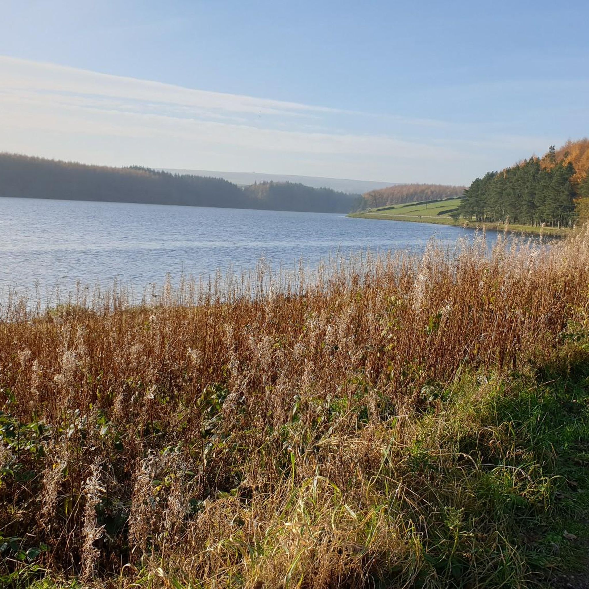
Undoubtedly the most scenic of the Washburn reservoirs with the moorland backdrop to the north. The circular route around the reservoir from the car park is about 5 miles, the track on the southwestern side runs along the edge of plantations and offers some shade from the sun and shelter from the elements. The track on the northeastern side is more exposed, and if you do the whole circuit you will cross over Far Comb Hill and the plantation along the edge of the reservoir at Whit Moor - a great route.
0
0
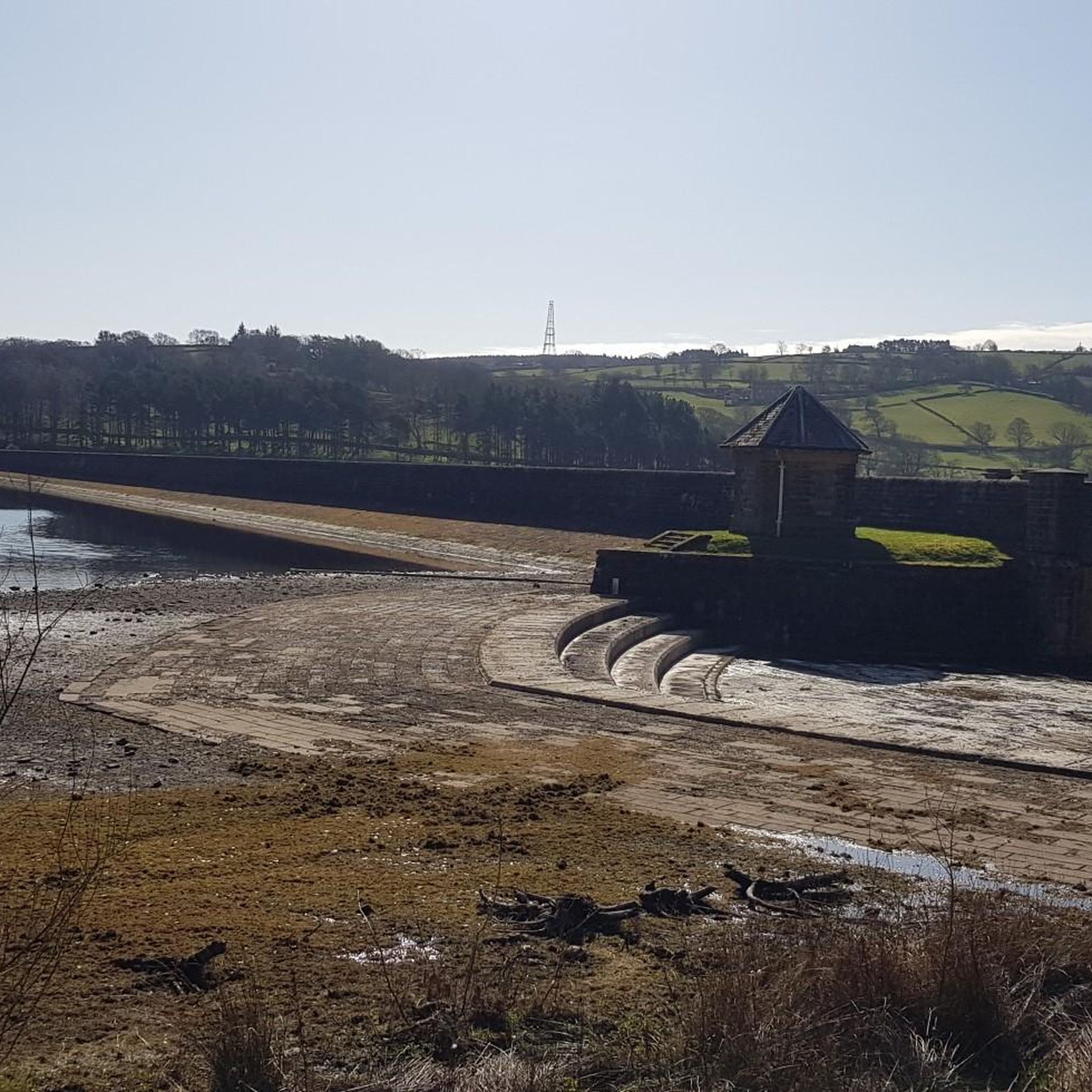
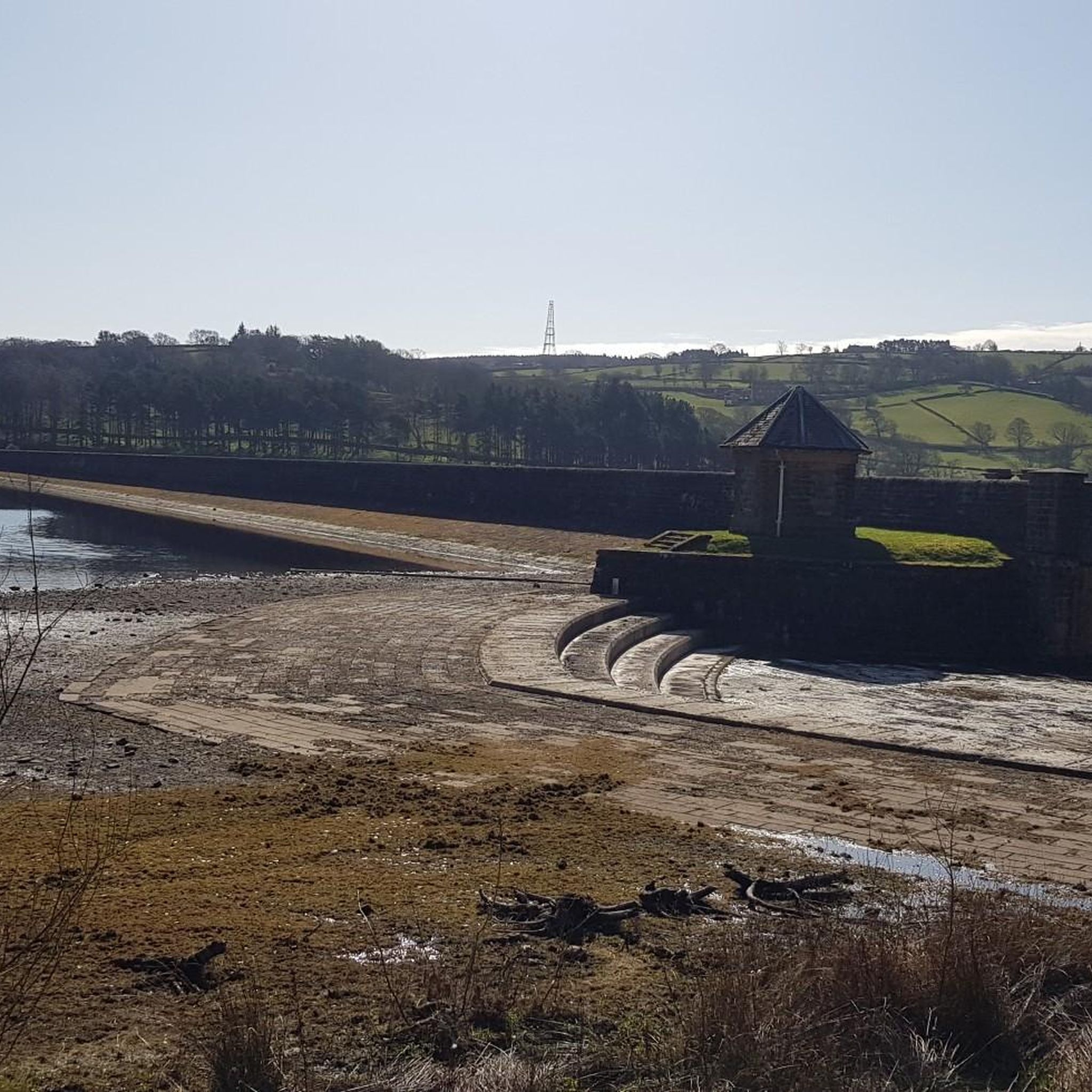
Small bridge at the southern end of the dam allows you to peer over and see the overflow for Fewston Reservoir and the sloping masonry weirs that channel overflow down into Swinsty Reservoir. Great views of both reservoirs northwest to Fewston and southeast to Swinsty.
1
0
Easy to access and walk along the water's edge, levels quite low in spring of 2025 (see photos).
1
0
The track along this part of the reservoir is very good quality and clearly well-trodden: wide and flat, and provides welcome shade when the sun is scorching.
1
0
Frequently Asked Questions
Are there many walking trails in Nidderdale AONB?
Yes, there is an extensive network of over 450 trails to explore. The terrain is incredibly varied, ranging from gentle riverside paths to challenging moorland hikes, ensuring there are routes suitable for all fitness levels.
What do other hikers think of the trails in Nidderdale?
The trails in Nidderdale are highly regarded by the komoot community. Hikers often praise the region's stunning and varied landscapes, from the unique rock formations at Brimham Rocks to the tranquil scenery around the many reservoirs.
Are there any good circular walks?
Nidderdale is perfect for circular walks. A great option that combines history and nature is The Druid's Temple & Sole Beck loop. This moderate walk takes you through woodland to a fascinating 19th-century folly designed to resemble a prehistoric stone circle.
Can I bring my dog on hikes in Nidderdale?
Many trails in Nidderdale are suitable for walking with a dog. However, you will be walking through farmland with livestock and across moorlands with ground-nesting birds, especially between March and July. It is essential to keep your dog on a lead and under close control in these areas.
What are some easy, family-friendly walks?
For a gentle and accessible walk, the Thruscross Reservoir loop is an excellent choice. It's a relatively flat path around the water, offering peaceful scenery and a straightforward route for walkers of all ages.
Where can I find walks with good views?
For panoramic views across the dale, head to the Coldstones Cut. It's a massive piece of public art built into a quarry, offering a unique vantage point. Many moorland trails, like those on Fountains Earth Moor, also provide a sense of vastness and spectacular, far-reaching views.
Are there any long-distance trails in the area?
Yes, the main long-distance route is the Nidderdale Way. It's a 53-mile (85 km) circular trail that showcases the entire range of landscapes within the AONB, from the high moors to the gentle river valleys. It is typically walked in four or more stages.
Can I get to Nidderdale using public transport?
Yes, it is possible to reach the area without a car. Regular bus services connect Harrogate to the main town of Pateley Bridge, which serves as an excellent starting point for many walks. From there, you can access the local footpath network.
Where is a good place to park for a hike?
Many popular trailheads have dedicated parking. For reservoir walks, you can often find car parks like those at Thruscross, Fewston, or Scar House reservoirs. The town of Pateley Bridge also offers public parking, providing a good base for exploring the central part of the dale.
Are there any walks that feature water?
Absolutely. Nidderdale is known for its reservoirs. The Fewston & Swinsty Reservoir loop is a popular moderate hike that combines two scenic bodies of water. For something more dramatic, you can explore How Stean Gorge, a deep limestone ravine with paths, bridges, and tunnels.
What is the landscape like in Nidderdale?
The landscape is a tale of two halves. The west is defined by wild, remote gritstone moorlands covered in heather, which turns a stunning purple in late summer. In contrast, the east features a softer, pastoral landscape of rolling farmland, steep river valleys, and picturesque stone-built villages.
Are there any historical sites I can see on a walk?
Yes, the area is rich in history. A highlight is the Fountains Abbey & Studley Royal Park loop, which takes you through a World Heritage Site with magnificent abbey ruins and landscaped water gardens. You'll also find remnants of the area's lead mining past on many moorland trails.
Most popular routes in Nidderdale Aonb
Most popular attractions in Nidderdale Aonb

Get inspired with the komoot mobile app


Explore more
Browse the best Hikes in other regions.
