Lower Derwent Valley National Nature Reserve
Lower Derwent Valley National Nature Reserve
The best cycling routes in Lower Derwent Valley National Nature Reserve
4.6
(236)
2,567
riders
215
rides
Touring cycling routes in Lower Derwent Valley National Nature Reserve traverse a landscape characterized by expansive floodplain meadows, pastures, and woodlands. The terrain is generally flat, with minimal elevation gain, making it suitable for various abilities. Routes often follow the River Derwent, offering accessible paths and scenic riverside views. This area is known for its rich biodiversity and significant birdlife.
Best touring cycling routes in Lower Derwent Valley National Nature Reserve
- The most popular touring cycling route is Allerthorpe Common…
Last updated: July 8, 2026
7
riders
29.1km
01:41
90m
90m
Easy bike ride. Great for any fitness level. Mostly paved surfaces. Suitable for all skill levels.
3
riders
34.0km
01:55
70m
70m
Easy bike ride. Great for any fitness level. Mostly paved surfaces. Suitable for all skill levels.

Sign up for free
3
riders
12.9km
00:46
20m
20m
Easy bike ride. Great for any fitness level. Mostly paved surfaces. Suitable for all skill levels.
3
riders
30.3km
01:45
30m
30m
Easy bike ride. Great for any fitness level. Mostly paved surfaces. Suitable for all skill levels.
4.0
(1)
2
riders
30.0km
02:00
30m
30m
Easy bike ride. Great for any fitness level. Mostly paved surfaces. Suitable for all skill levels.
Get access to more routes and recommendations from other explorers.
Sign up for free
Already have an account?
Our route recommendations are based on thousands of hikes, rides, and runs completed by other people on komoot.
Start today with a free account
Your next adventure awaits.
Login or Signup
Popular around Lower Derwent Valley National Nature Reserve

Tips from the Community

A large wire figure of a man in a bobble hat sitting on top of the bridge, with a fishing rod hanging out over the River Ouse, on the end of his line he has caught the 'Flying Scotsman' train which used to run on the railway line that used this bridge – now decommissioned. It is part of the Sustrans route 65 cycle way. Source: https://artuk.org/discover/artworks/fisher-of-dreams-324103
0
0

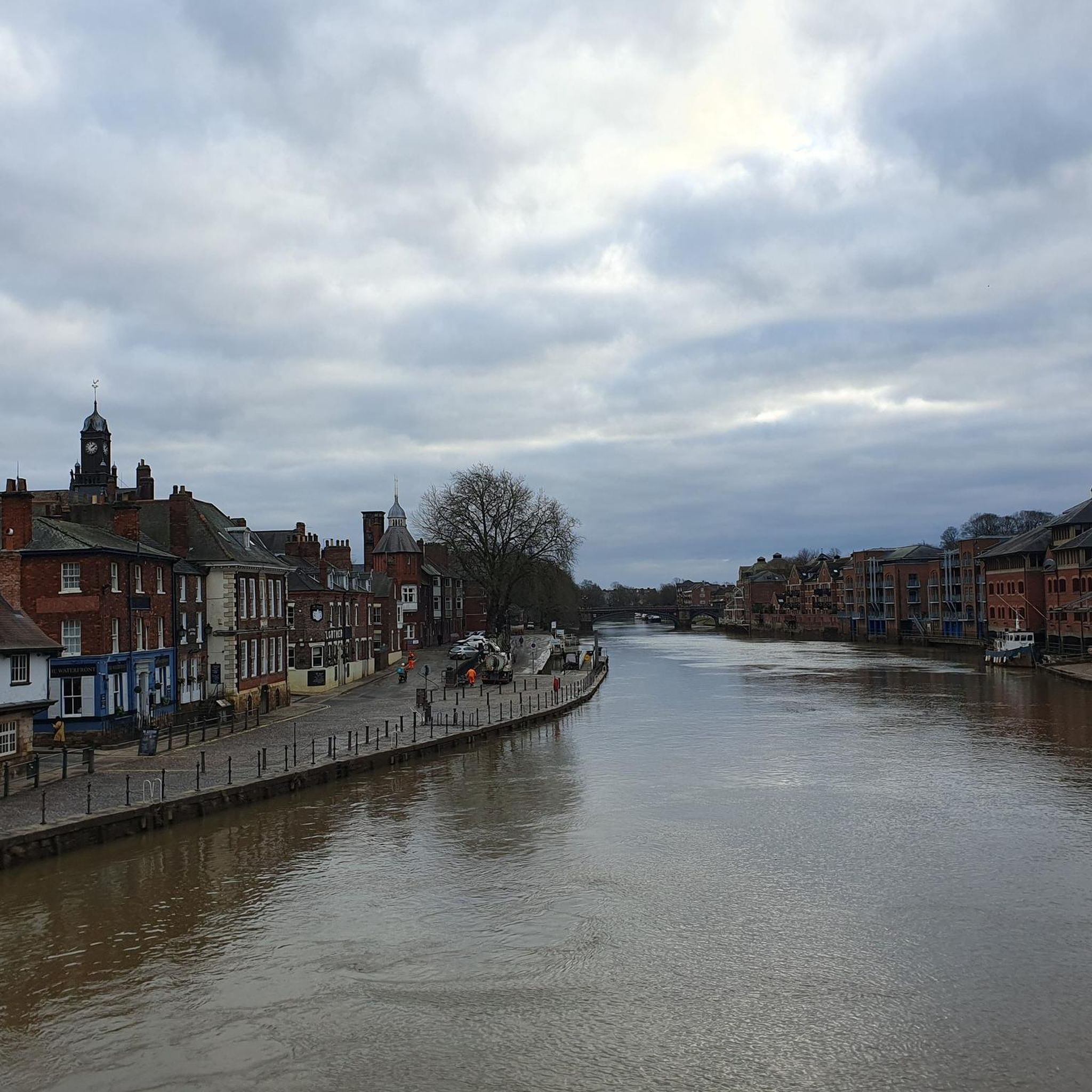
Don't visit in winter. Very good chance it will be under water, or sludge after the River Ouse floodwaters have receded. Bearing that in mind, YCC and the keepers do a pretty good job of maintaining the park. The park was created in memory of employees of Rowntree's who died in the First World War, and was opened on 16 July 1921 by local entrepreneur and philanthropist Joseph Rowntree. Upon their purchase in 1919, the 17 acres of land cost £1,500. The park now covers an area of 25 acres, with it being extended in 1926/7 with the purchase of Clementhorpe allotments, and further in 2000 with the purchase of Butcher Terrace football fields. The gates at the riverbank entrance are eighteenth-century and were given by the company as a memorial to the people of York who died in the Second World War. There are further commemorative plaques on the dovecote. https://en.wikipedia.org/wiki/Rowntree_Park
1
1

Excellent veggie breakfast served until 3pm.
0
0
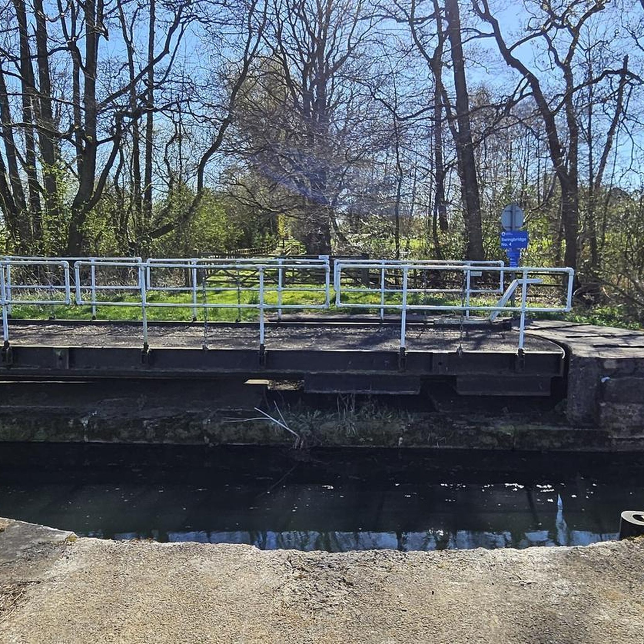
Links the village of Bielby to the road running between Melbourne and Allerthorpe. The disused Coat's Lock is immediately adjacent just to the north of the bridge, and the bridge was Grade II listed in 2010.
1
0
Carries Church Road which runs from Melbourne to Thornton. Grade II listed since 1987.
1
0
Foggathorpe station closed to passengers in 1954 but was retained for summer excursions until at least 1957. The station remained open for goods traffic until 1964. The North Eastern Railway nameboards survived throughout the station's life and the stationmaster's house was demolished in the early 1970s.
1
0
Holme Moor railway station was a station on the Selby to Driffield Line in the East Riding of Yorkshire serving the village of Holme-on-Spalding-Moor. It opened as Holme (Yorks) on 1 August 1848 and was renamed Holme Moor on 1 July 1923. It closed on 20 September 1954.
1
0
Frequently Asked Questions
What kind of terrain can I expect on touring cycling routes in Lower Derwent Valley National Nature Reserve?
The Lower Derwent Valley National Nature Reserve is characterized by expansive floodplain meadows, pastures, and woodlands. The terrain is generally flat with minimal elevation gain, making it suitable for various abilities. Many routes follow the River Derwent, offering accessible paths and scenic riverside views.
How many touring cycling routes are available in the Lower Derwent Valley National Nature Reserve?
There are over 230 touring cycling routes available in the Lower Derwent Valley National Nature Reserve. These routes cater to various skill levels, with a significant number being easy or moderate, ensuring options for most cyclists.
Are there family-friendly touring cycling routes in the Lower Derwent Valley National Nature Reserve?
Yes, the reserve offers many routes suitable for families. The generally flat terrain and minimal elevation gain make it ideal for casual riders and those with children. Routes like Church Bridge – Coat's Bridge and Lock loop from Thornton, at just 8 miles (12.9 km), are particularly good for shorter, easier rides.
What natural features and wildlife can I expect to see while cycling in the Lower Derwent Valley NNR?
The Lower Derwent Valley NNR is rich in natural beauty and wildlife. You'll cycle through floodplain meadows and woodlands, especially vibrant in spring with marsh marigold and cuckooflower. The reserve is a vital stopover for hundreds of thousands of migrating water birds, particularly in winter when the meadows flood, attracting over 40,000 ducks, geese, and waders. Keep an eye out for species like lapwing, redshank, curlew, and even osprey during migration.
What is the best time of year to go touring cycling in the Lower Derwent Valley National Nature Reserve?
The reserve offers seasonal beauty throughout the year. Spring, as floodwaters recede, brings blooming meadows and nesting birds. Late June sees the meadows at their most vibrant. Autumn and winter offer spectacular birdwatching opportunities as the meadows flood, attracting large numbers of waterfowl. Consider seasonal conditions, as winter can bring flooding to some areas, impacting accessibility.
Are there any circular touring cycling routes in the area?
Yes, many routes in the Lower Derwent Valley National Nature Reserve are circular, allowing you to start and end at the same point. An example is the Celandines and Daffodils – Easter Bunny Bench loop from Breighton, which offers a pleasant 18.8-mile (30.3 km) ride through the local landscape.
Where can I find parking for touring cycling routes in the Lower Derwent Valley National Nature Reserve?
While specific parking locations for each route vary, many routes start from villages or designated car parks near the reserve. For example, routes often begin near locations like Thornton or Wheldrake, which typically offer local parking facilities. It's advisable to check the starting point of your chosen route for specific parking information.
What do other touring cyclists enjoy most about cycling in the Lower Derwent Valley National Nature Reserve?
The area is highly rated by the komoot community, with an average score of 4.5 stars from over 220 reviews. Reviewers often praise the generally flat, accessible terrain, the scenic riverside views along the River Derwent, and the rich biodiversity, especially the abundant birdlife. The quiet, natural environment is frequently highlighted as a major draw.
Are there options for longer touring cycling routes in the Lower Derwent Valley NNR?
Yes, while many routes are easy and shorter, there are options for longer rides. For instance, the York Racecourse – Naburn Railway Bridge loop from Wheldrake is an easy 21.5-mile (34.7 km) path that features riverside sections and passes by local landmarks, offering a more extended cycling experience.
Are there any specific rules or permits required for cycling in the Lower Derwent Valley National Nature Reserve?
Generally, cycling is permitted on designated public rights of way and trails within the reserve. While no specific permits are typically required for general cycling, it's always good practice to respect signage, stay on marked paths, and be mindful of wildlife and other visitors. The proposed Derwent Valley Cycleway aims to create dedicated traffic-free routes, further enhancing cycling access.
Can I bring my dog on touring cycling routes in the Lower Derwent Valley NNR?
Many public paths and trails within the Lower Derwent Valley National Nature Reserve are dog-friendly, provided dogs are kept under control, often on a lead, especially in areas with livestock or ground-nesting birds. Always check local signage for specific restrictions, particularly during nesting seasons or in sensitive wildlife areas, to ensure a responsible visit.
Are there cafes, pubs, or accommodation options near the touring cycling routes?
The Lower Derwent Valley NNR is surrounded by several villages such as North Duffield, Wheldrake, Melbourne, Elvington, and Thorganby. These villages often provide local amenities including cafes, pubs, and sometimes accommodation options, making it convenient to find refreshments or a place to stay near your cycling route.
Most popular routes in Lower Derwent Valley National Nature Reserve

Get inspired with the komoot mobile app


Explore more
Browse the best Cycling routes in other regions.
