The best running trails in Malvern Hills Aonb
4.6
(16)
1,903
runners
103
runs
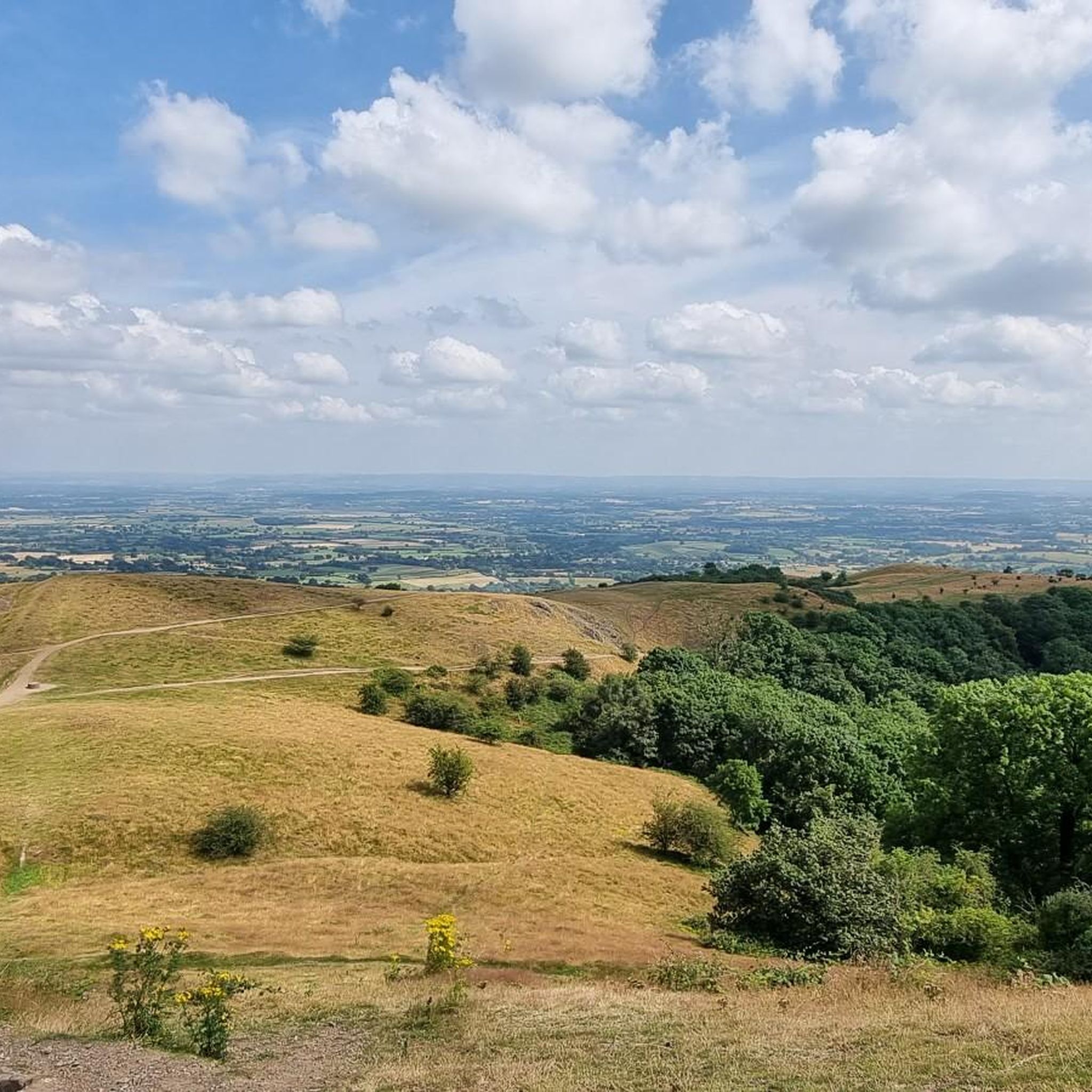
Jogging in Malvern Hills Aonb offers routes across a distinctive north-south ridge, providing panoramic views from its elevated positions. The region features varied terrain, including ancient woodlands, open commons, and stony trails, shaped by unique pre-Cambrian geology. Elevation gains are common, with routes ascending hundreds of meters to prominent hills. This landscape provides a dynamic and engaging experience for runners.
Best jogging routes in Malvern Hills Aonb
- The most popular jogging route is Worcestershire Beacon & Crossroad Stone loop from Great Malvern — Malvern Hills, a 2.7 miles (4.3 km) trail that takes about 35 minutes to complete. This moderate route climbs to Worcestershire Beacon, offering expansive views across the surrounding plains.
- Another top favourite among local runners is Worcestershire Beacon and North Hill Loop, a difficult 4.3 miles (6.9 km) path. This route features significant elevation changes as it traverses two prominent hills, providing challenging climbs and scenic vistas.
- Local runners also love the Perseverance Hill – Pinnacle Hill loop from Little Malvern, a 6.2 miles (10.0 km) trail leading through the dramatic Malvern Hills ridge, often completed in about 1 hour 15 minutes.
- Jogging in Malvern Hills Aonb is defined by dramatic ridge lines, ancient woodlands, and open commons. The network offers options for various ability levels, from moderate loops to more difficult climbs.
- The routes in Malvern Hills Aonb are highly rated by the komoot community with an average score of 4.4 stars from 10 reviews. More than 1700 runners have used komoot to explore Malvern Hills Aonb's varied terrain.
Last updated: October 10, 2026
5.0
(1)
13
runners
Moderate run. Good fitness required. Mostly accessible paths. Some sure footedness required.
10
runners
4.07km
00:31
180m
180m
Moderate run. Good fitness required. Mostly paved surfaces. Suitable for all skill levels.

2
runners
6.89km
00:55
310m
310m
Hard run. Very good fitness required. Mostly accessible paths. Some sure footedness required.
2
runners
9.09km
01:00
150m
160m
Moderate run. Good fitness required. Mostly paved surfaces. Suitable for all skill levels.
5.0
(2)
180
runners
10.5km
01:23
410m
410m
Hard run. Very good fitness required. Mostly paved surfaces. Suitable for all skill levels.
Get access to more routes and recommendations from other explorers.
Already have an account?
Our route recommendations are based on thousands of hikes, rides, and runs completed by other people on komoot.
Start today with a free account
Your next adventure awaits.
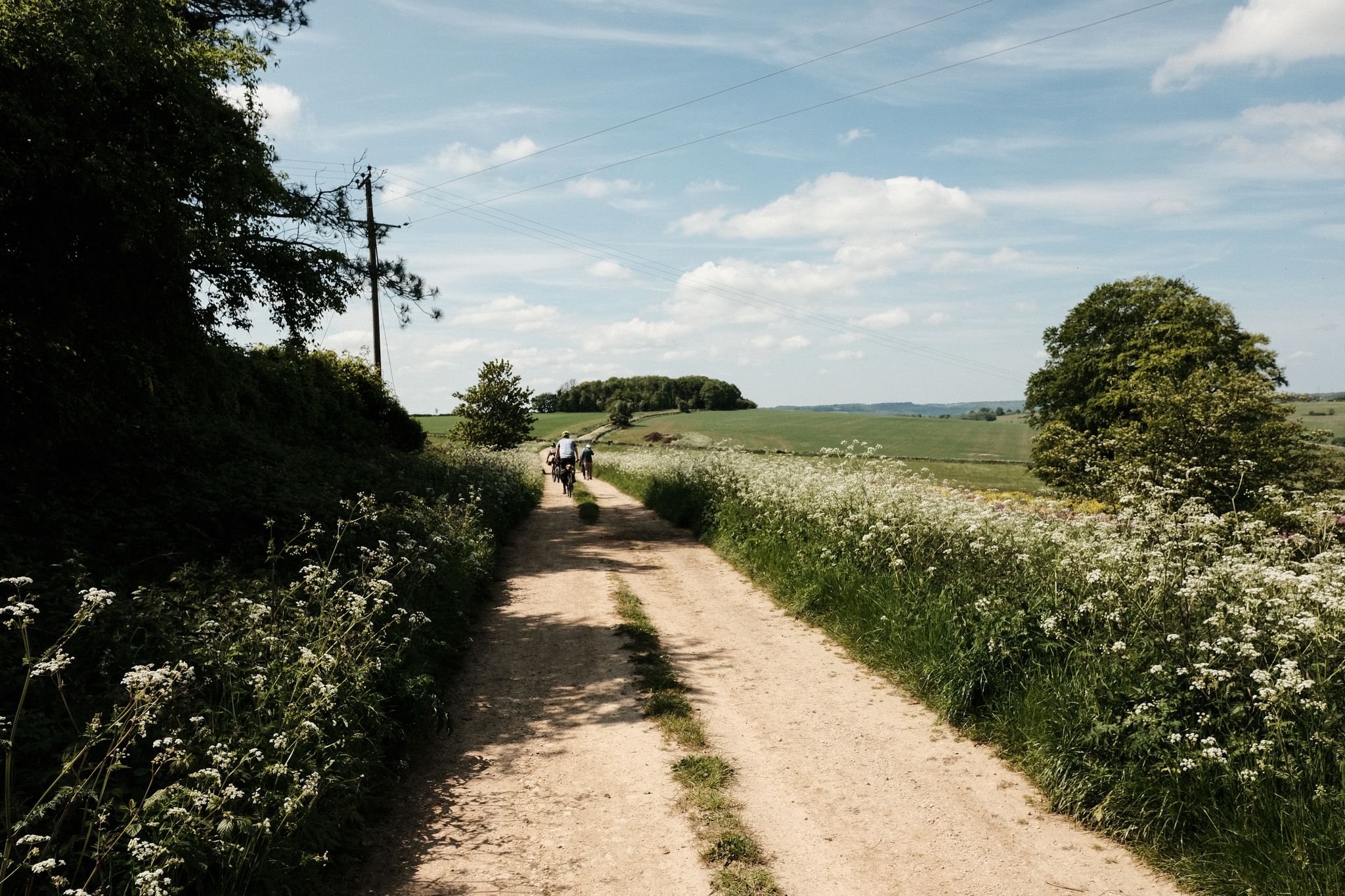
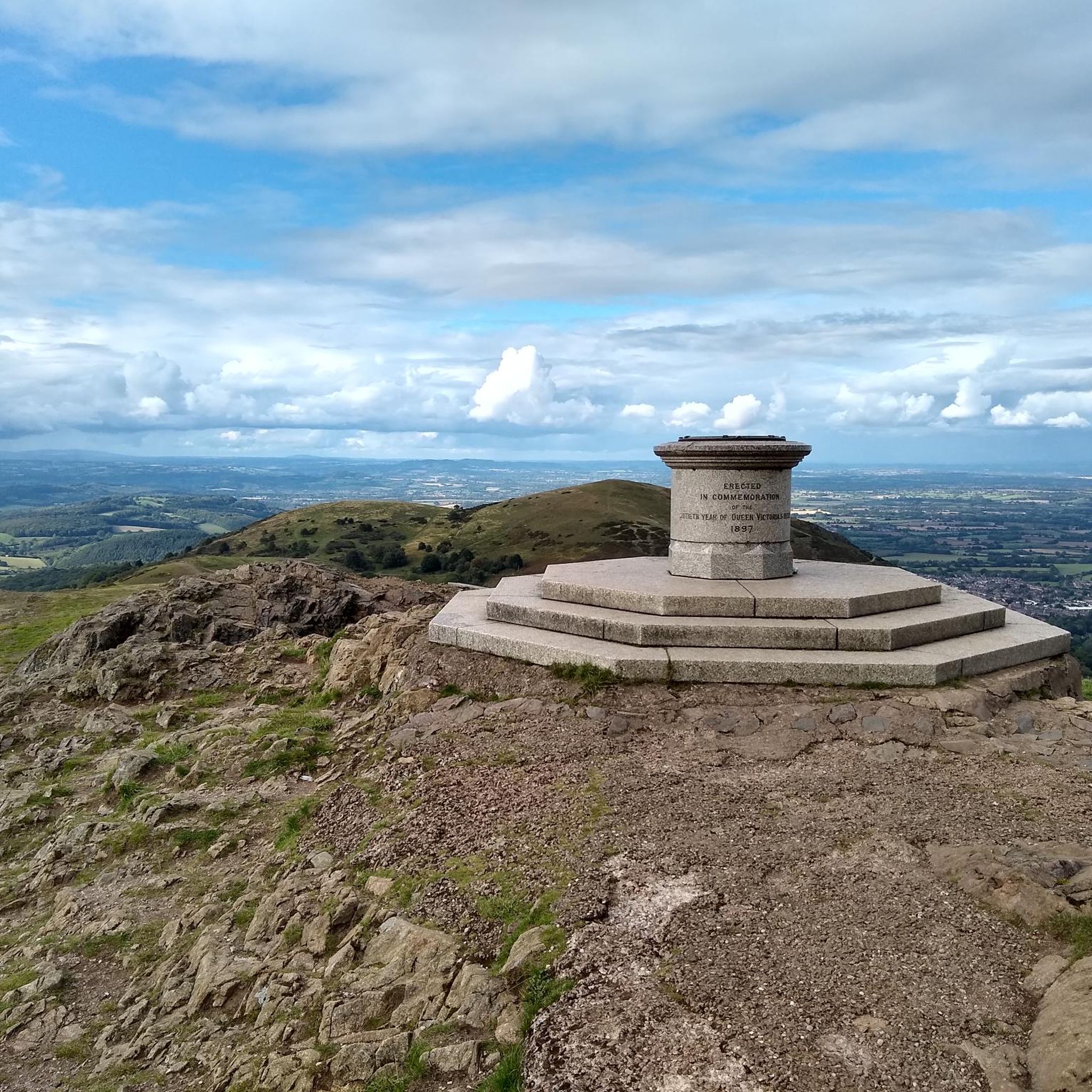
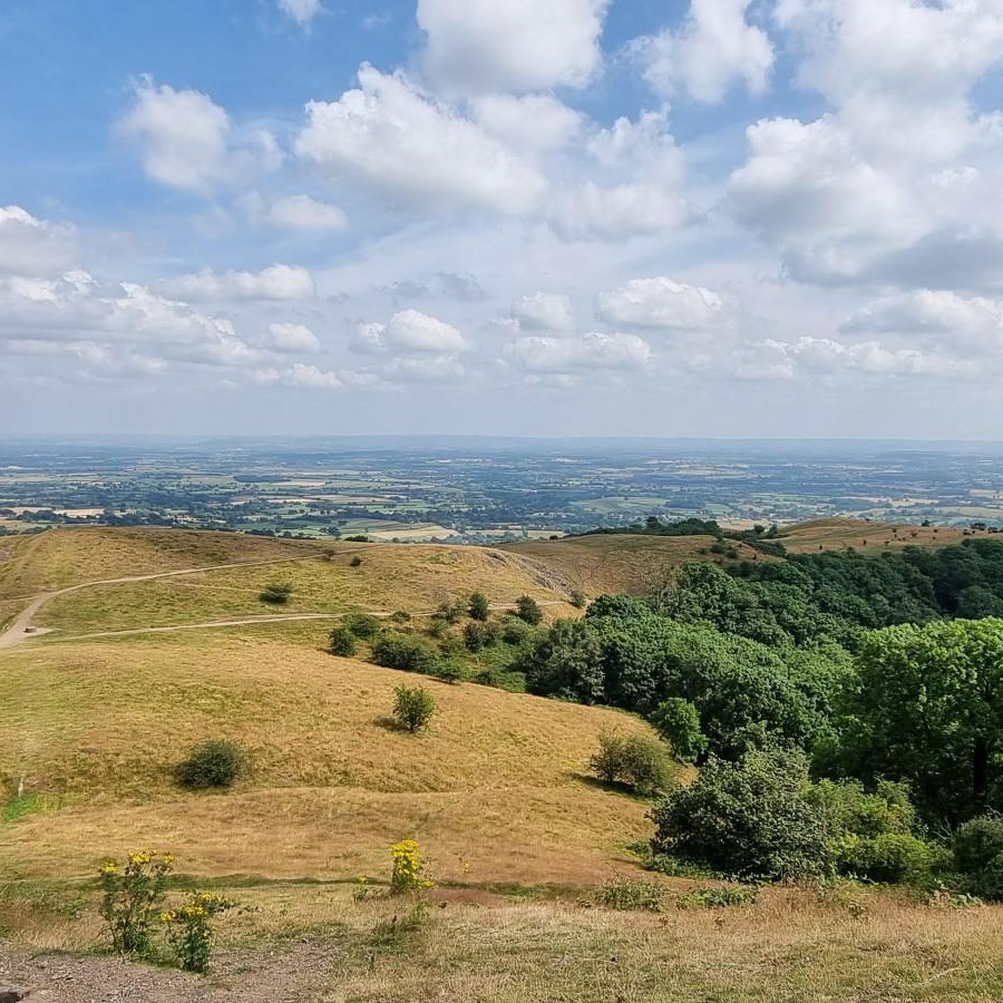
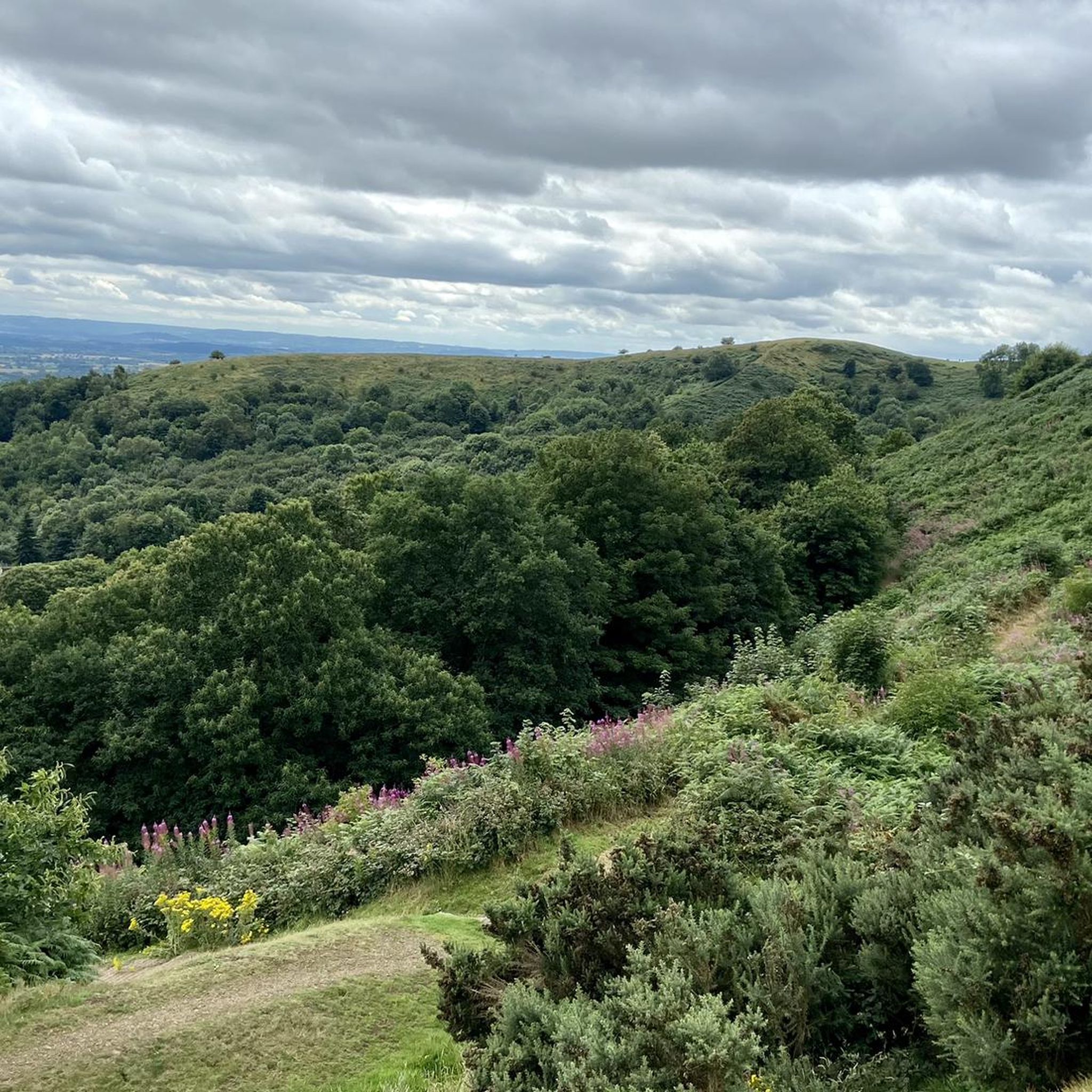
Other adventures in Malvern Hills Aonb

Tips from the Community

A great viewpoint, looking south. Wyche Cutting is a high pass south of Summer Hill.
0
0
The highest point of the Malverns, with great views.
0
0
There are quite a number of these direction arrow stones on the Malverns, they look good and they are very informative.
0
0
North Hill is a very good viewpoint - but this image was taken on the way up to Table Hill, which is next to North HIll.
0
0
Summer Hill is a bit of a bump in between the Beacon and the Wyche Cutting, however it's steep southern aspect does afford some of the best views along the Malvern Hills ridge, particularly when there is an Inversion happening.
0
0

The Worcestershire Beacon, also popularly known as Worcester Beacon, or simply The Beacon, stands at 1394 feet (425 metres), making it the highest point in the Malvern Hills and indeed in the county of Worcestershire.
0
0

North Hill is the second highest point of the range of Malvern Hills that runs about 13 kilometres (8.1 mi) north-south along the Herefordshire-Worcestershire border, although North Hill lies entirely within Worcestershire. It has an elevation of 397 metres (1,302 ft), making it the highest point of the Worcestershire Way. The eastern flank of the hill lies directly behind Worcester road in Great Malvern from where its summit is a brisk 15 – 20 minutes steep walk from the town centre via St Ann's road and Happy Valley. A path from the car park in North Malvern follows the lower contour of North Hill to Happy Valley and St. Ann's Well. Although the flint route from North Wales to Wessex lay to the north of Malvern, there is some evidence to suggest that traders passed over the Malvern Hills. Parts of an arrowhead, scraper and flint flakes have been discovered between the North Hill and Table Hill. A 19th-century guide book describes both a collapsed burial mound on North Hill named the Giant's Grave and a tump on Table Hill. These tumuli may have been connected to the Dobunni settlement in Mathon. A track that runs along North Hill was known as the "Pyx Path" and was used by the priest from Worcestershire when bringing Sacrament to the hermits that lived in Malvern in the 11th Century. It was also referred to as the "Pixie Path", as it was believed to be used by fairies. The Lodge spring can be found at the foot of North Hill, off Worcester road. The ornamental fountain has a small spout and basin that is similar in design to those at St Ann's Well.
1
0
The hill lies to the south of the Worcestershire Beacon, which is Worcestershire's (and the Malvern Hills') highest hill, and Summer Hill's summit, though often overlooked given the grandeur of its neighbour, is a most respectable 1,253 feet above sea level. Source: Wikishire
0
0
Frequently Asked Questions
What kind of terrain can I expect when running in the Malvern Hills?
The Malvern Hills offer a diverse range of terrain for runners. You'll encounter everything from sun-dappled ancient woodlands and open commons to stony, windswept trails along the ridge. The unique pre-Cambrian geology means varied surfaces, and the ridge tops often have thin soils supporting short, wiry grasses, which are excellent for running.
Are there challenging running routes with significant elevation in the Malvern Hills?
Yes, the Malvern Hills are known for their dramatic topography and significant elevation gains. Many routes involve climbs of hundreds of meters. For example, the Worcestershire Beacon and North Hill Loop is a difficult 6.9 km path with substantial elevation changes, offering a rewarding challenge and panoramic views.
How many running routes are available in the Malvern Hills AONB, and what are their difficulty levels?
There are over 115 running routes available in the Malvern Hills AONB. These cater to various fitness levels, with 7 easy routes, 79 moderate routes, and 29 difficult routes, ensuring there's a suitable option for almost every runner.
What natural features or landmarks can I see while running in the Malvern Hills?
The Malvern Hills are rich in natural beauty and historical landmarks. You can run past prominent peaks like the Worcestershire Beacon Summit and Toposcope, offering views across 13 counties, or the historic Herefordshire Beacon (British Camp), an Iron Age hill fort. Other features include ancient woodlands, traditional orchards, and historic wells like St Ann's Well.
Is public transport available to access running trails in the Malvern Hills?
While specific public transport links to every trailhead aren't detailed, the Malvern Hills AONB is generally accessible. Great Malvern, a key town in the area, has a train station, and local bus services operate within the region, providing access to various points around the hills. It's advisable to check local transport schedules for specific route access.
Are there dog-friendly running trails in the Malvern Hills?
Yes, the Malvern Hills are very dog-friendly, with open access across much of the hills and commons. Many of the extensive network of footpaths and bridleways are suitable for running with your dog. Always ensure your dog is under control, especially near livestock, and follow the Countryside Code.
Can I find family-friendly jogging routes in the Malvern Hills?
Absolutely. While many routes involve elevation, there are easier and moderate options suitable for families. The diverse landscape includes woodlands and commons that can offer less strenuous paths. Look for routes with lower elevation gains or shorter distances, such as some of the 7 easy routes available, to ensure a pleasant experience for all.
What is the best time of year to go running in the Malvern Hills?
The Malvern Hills offer a rewarding running experience year-round. Spring brings wildflowers and fresh greenery, while autumn showcases stunning foliage. Summer provides longer daylight hours, though can be warm on exposed ridges. Winter runs can be invigorating, but be prepared for potentially muddy or icy conditions, especially on higher ground.
Are there any easier running routes for beginners in the Malvern Hills?
Yes, there are 7 routes classified as 'easy' in the Malvern Hills AONB, perfect for beginners or those seeking a less strenuous run. These routes typically feature gentler gradients and shorter distances, allowing you to enjoy the scenery without excessive challenge.
Can I find circular running routes in the Malvern Hills?
Many of the running routes in the Malvern Hills are circular, allowing you to start and finish at the same point. For instance, the Little Malvern & Castlemorton Common loop is a moderate 9.1 km circular route that offers varied scenery without repeating sections.
What do other runners enjoy the most about jogging in Malvern Hills AONB?
The Malvern Hills AONB is highly rated by the komoot community, with an average score of 4.4 stars from 10 reviews. Runners often praise the stunning panoramic views, the varied and engaging terrain, and the sense of accomplishment from tackling the challenging climbs. The well-maintained network of paths and the natural beauty are frequently highlighted.
Are there places to stop for refreshments or a pub lunch along running routes?
The Malvern Hills area has a long history of welcoming visitors, and you'll find various villages and towns around the hills that offer pubs, cafes, and other amenities. While specific routes aren't detailed with refreshment stops, planning your run to pass through or near Great Malvern or other local settlements will provide opportunities for a well-deserved break.
Most popular routes in Malvern Hills Aonb
Most popular attractions in Malvern Hills Aonb

Get inspired with the komoot mobile app


Explore more
Browse the best Running Trails & Routes in other regions.
