The best road cycling routes in Weeting Heath
4.5
(16)
350
riders
56
rides
Road cycling routes in Weeting Heath are characterized by the flat topography of the Breckland landscape, offering accessible rides without significant climbs. The region features a unique environment of bare sandy soil, scattered heaths, and short grassy vegetation, providing a tranquil backdrop for cycling. Quiet lanes and well-paved surfaces are common, making the area suitable for road bikes and cyclists of varying fitness levels. This protected natural area is part of a larger network of routes in the "heart of…
Last updated: June 27, 2026
5.0
(1)
20
riders
63.9km
02:44
290m
290m
Moderate road ride. Good fitness required. Mostly well-paved surfaces and easy to ride.
18
riders
36.2km
01:52
210m
210m
Moderate road ride. Great for any fitness level. Some segments of this route may be unpaved and difficult to ride.

Sign up for free
5.0
(1)
10
riders
33.1km
01:21
80m
80m
Easy road ride. Great for any fitness level. Mostly well-paved surfaces and easy to ride.
8
riders
68km
03:00
120m
120m
Moderate road ride. Good fitness required. Mostly well-paved surfaces and easy to ride.
10
riders
12.5km
00:32
20m
20m
Easy road ride. Great for any fitness level. Mostly well-paved surfaces and easy to ride.
Get access to more routes and recommendations from other explorers.
Sign up for free
Already have an account?
Our route recommendations are based on thousands of hikes, rides, and runs completed by other people on komoot.
Start today with a free account
Your next adventure awaits.
Login or Signup


Tips from the Community

Starting from the forestry commision car park, hed over the bridge and turn right. This will give you several options for forestry trails and if you head towards Lynford you can then pop on to the road for a short trip to Browns cafe.
0
0

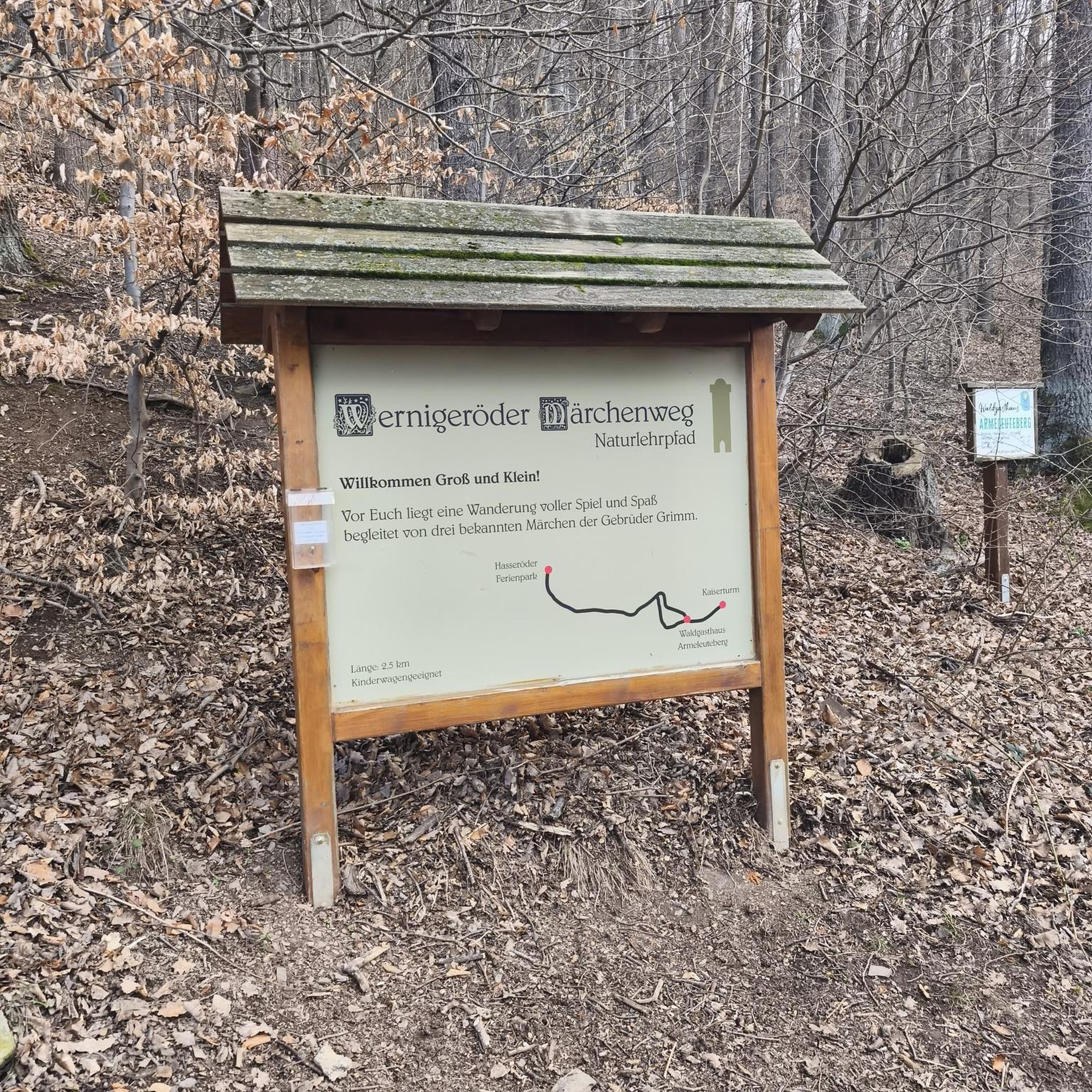
The sign dubiously claims a max gradient of 15%. My Wahoo topped out at just over 6% which felt about right.
0
0
Not much visible from the road. Accessed by a gravel path.
0
0

Shout “Four!” and play through; watch out for sand traps, and they’re not too keen on cleats on the putting greens. 🧐
0
0

The Stanton Downham Bridge was built during the first world war as a rail bridge to transport timber and logging machines. It's been a road bridge since about 1922. The bridge crosses the Little Ouse River.
0
0

The remains of Thetford Priory a really nice and reflective space to end a tour... or start one. Thetford really is a gravel gateway with the Peddars and Icknield way passing nearby and the Kings Forest near Brandon. The Priory is smaller than the much larger establishment at Castle Acre but still majestic. The Priory of Our Lady of Thetford was one of the largest and most important monasteries in medieval East Anglia. Founded in the early 12th century, for 400 years it was the burial place of the Earls and Dukes of Norfolk, and enjoyed their powerful protection. It was because of this that Thetford was one of the last monasteries to be suppressed when it surrendered to Henry VIII's commissioners in 1540. The extensive surviving remains include the lower walls of the church and cloister, together with the impressive shell of the prior's lodging and an almost complete 14th century gatehouse. https://www.english-heritage.org.uk/visit/places/thetford-priory/history/
0
0
The top of a shallow drag from Feltwell, with views north over Methwold Hythe towards the low hills beyond Stoke Ferry on the far horizon. A rare elevated panorama in a generally flat landscape.
0
0
Frequently Asked Questions
What kind of terrain can I expect on road cycling routes in Weeting Heath?
The Weeting Heath area, part of the unique Breckland landscape, is characterized by its generally flat topography. This makes for accessible road cycling without significant climbs, allowing cyclists to cover longer distances comfortably. You'll find quiet lanes and well-paved surfaces, ideal for road bikes.
Are there many road cycling routes suitable for beginners in Weeting Heath?
Yes, Weeting Heath offers a good selection of routes suitable for beginners. Out of the 57 available road cycling routes, 33 are classified as easy. An example of an easy route is Black Dyke Country Road loop from Hockwold cum Wilton, which is about 12.5 km long.
What are some of the most scenic road cycling routes in the Weeting Heath area?
The region offers picturesque routes through its unique Breckland landscape, with views of scattered heaths and short grassy vegetation. Routes often utilize quiet lanes, providing a tranquil backdrop. For a longer scenic ride, consider the Suffolk Countryside Road – Start of the Peddars Way loop from Brandon, which takes you through the scenic Suffolk countryside.
Can I find longer road cycling routes in Weeting Heath for more experienced riders?
Absolutely. While the terrain is generally flat, there are longer routes available for those seeking more distance. For instance, the The Paddocks Coffee Bar – Golf Course Path loop from Brandon is a moderate route spanning over 68 km, offering a good challenge for experienced cyclists.
Are there any circular road cycling routes around Weeting Heath?
Many of the road cycling routes in the Weeting Heath area are designed as loops, allowing you to start and finish at the same point. Examples include the Suffolk Countryside Road – Start of the Peddars Way loop from Brandon and The Red Lion – Hockwold Village Cross loop from Brandon, providing convenient circular options.
What do other cyclists say about road cycling in Weeting Heath?
The road cycling routes in Weeting Heath are highly rated by the komoot community, with an average score of 4.6 stars from over 10 reviews. Cyclists often praise the flat terrain, quiet country lanes, and the distinctive, tranquil Breckland landscape that defines the area.
Are there road cycling routes that connect to other major trails or areas like Thetford Forest?
Yes, the Weeting Heath area is well-situated within the broader Brecks region, which is known as the 'heart of England's cycling country.' Routes can connect to parts of the National Cycle Network (Route 13) and the Peddars Way. The Santon Downham Bridge – Howe's Run Pit MTB Trail loop from Brandon, for example, passes through areas near Thetford Forest, offering varied terrain.
What is the best season for road cycling in Weeting Heath?
Given the open nature of the Breckland landscape, spring and autumn often provide ideal conditions for road cycling with pleasant temperatures and less extreme weather. Summer can also be excellent, though it's wise to cycle earlier or later in the day to avoid the midday heat. Winter cycling is possible, but be prepared for colder, potentially wetter conditions.
Are there any specific regulations or permits required for cycling in the Weeting Heath area?
Generally, no specific permits are required for road cycling on public roads and designated cycle paths around Weeting Heath. However, as Weeting Heath itself is a Site of Special Scientific Interest (SSSI) and a National Nature Reserve, access within the heath might be restricted to walking trails for conservation purposes. Always stick to marked routes and public rights of way when cycling.
Where can I find amenities like cafes or pubs along the road cycling routes?
While Weeting Heath itself is a natural reserve, the surrounding villages and towns like Brandon, Hockwold cum Wilton, and others along the routes offer various amenities. Many routes pass through or near these settlements, providing opportunities for pub stops or cafes. For example, the The Red Lion – Hockwold Village Cross loop from Brandon is named after a local pub, indicating potential refreshment stops.
Is Weeting Heath suitable for family-friendly road cycling?
Yes, the predominantly flat terrain and numerous easy-rated routes make Weeting Heath a good option for family-friendly road cycling. Many routes utilize quiet country lanes, offering a safer and more relaxed environment for cyclists of all ages. Always check the specific route details for distance and traffic levels to ensure it suits your family's needs.
What are the typical distances and durations for road cycling routes in Weeting Heath?
Road cycling routes in Weeting Heath vary significantly in length and duration. You can find shorter, easy routes like the Black Dyke Country Road loop from Hockwold cum Wilton, which is about 12.5 km and takes around 30 minutes. Longer, moderate routes, such as the Suffolk Countryside Road – Start of the Peddars Way loop from Brandon, can be up to 64 km and take nearly 3 hours.
Most popular routes in Weeting Heath

Get inspired with the komoot mobile app


Explore more
Browse the best Road cycling routes in other regions.
