Brettenham Heath - Open Access Land
Brettenham Heath - Open Access Land
The best road cycling routes in Brettenham Heath - Open Access Land
4.2
(12)
791
riders
108
rides
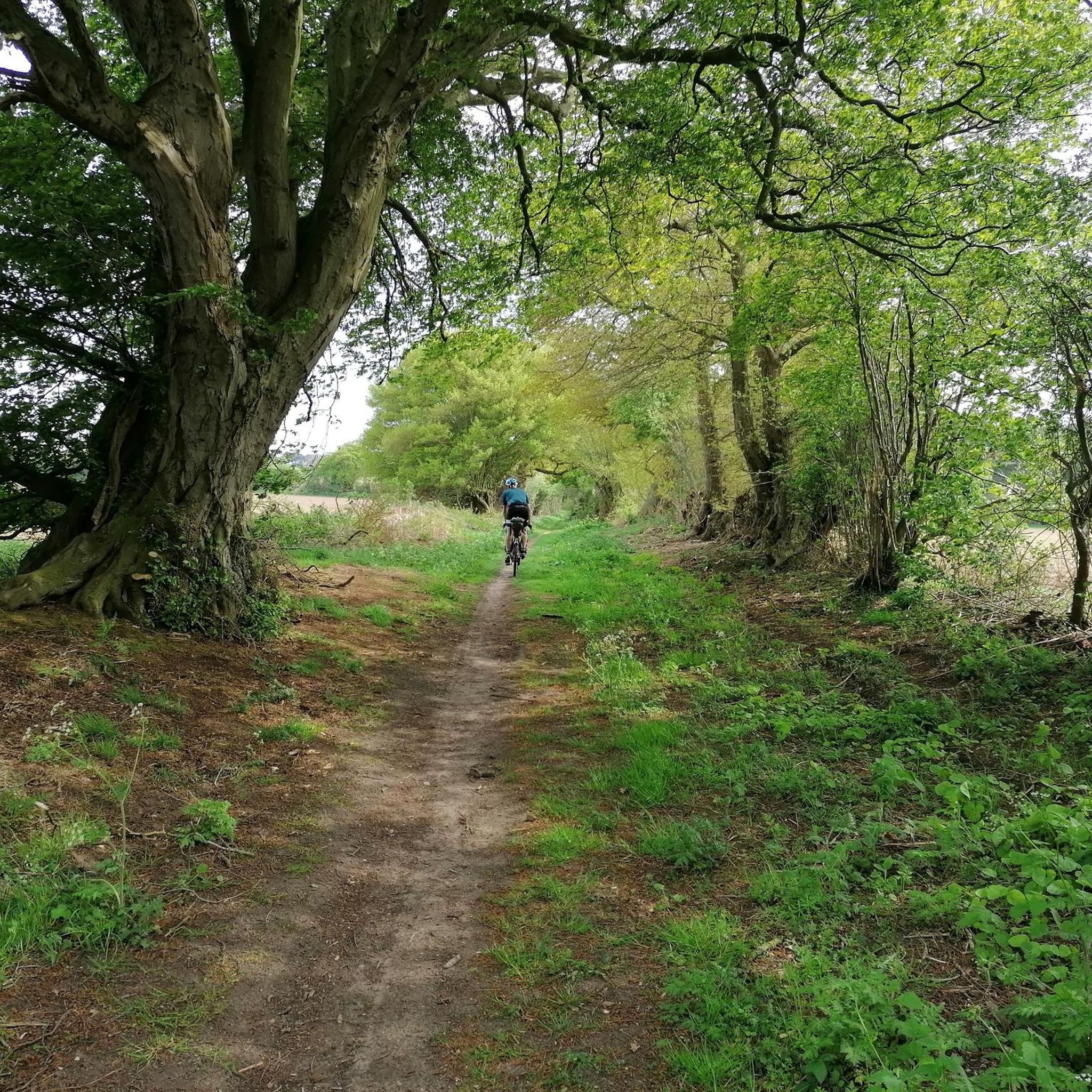
Road cycling routes in Brettenham Heath - Open Access Land traverse a diverse landscape characterized by expansive woodlands and open heathland. The area, part of the unique Breckland, features mostly paved surfaces and gentle gradients, making it suitable for various fitness levels. Underlying chalk bedrock influences the varied soil types, contributing to distinctive "patterned ground" and a rich mix of habitats. The nearby River Thet and River Little Ouse also shape the historical and natural character of the region.
Best…
Last updated: September 27, 2026
32
riders
45.0km
01:58
200m
200m
Easy road ride. Great for any fitness level. Mostly well-paved surfaces and easy to ride.
11
riders
Moderate road ride. Great for any fitness level. Some segments of this route may be unpaved and difficult to ride.

9
riders
50.3km
02:04
220m
220m
Moderate road ride. Good fitness required. Mostly well-paved surfaces and easy to ride.
7
riders
62.7km
02:39
290m
290m
Moderate road ride. Good fitness required. Mostly well-paved surfaces and easy to ride.
7
riders
52.5km
02:14
230m
230m
Moderate road ride. Good fitness required. Mostly well-paved surfaces and easy to ride.
Get access to more routes and recommendations from other explorers.
Already have an account?
Our route recommendations are based on thousands of hikes, rides, and runs completed by other people on komoot.
Start today with a free account
Your next adventure awaits.




Tips from the Community

Great little cafe. Good range of breakfast and cakes. Reasonably priced. Indoor and outdoor seating. Lots of easy / safe bike storage.
0
0


Nice location opposite the village church. There are a few tables out front where you can sit with your bike.
0
0


Great pub to stop off at on your way through. Friendly staff and locals. Stopped here twice on our cycling weekend in the area.
0
0
Scenic setting, tucked against the woods. Access is down a unmade track if you want a closer view so only suitable on road tyres in good weather.
0
0


Frequently Asked Questions
How many road cycling routes are available in Brettenham Heath - Open Access Land?
There are over 125 road cycling routes in Brettenham Heath - Open Access Land, offering a wide variety of options for different skill levels. Approximately 54 of these are rated as easy, 70 as moderate, and 1 as difficult.
What are the general characteristics of road cycling in Brettenham Heath?
Road cycling in Brettenham Heath - Open Access Land is characterized by mostly paved surfaces and gentle gradients, making it suitable for various fitness levels. You'll experience a diverse landscape of expansive woodlands and open heathland, influenced by the unique Breckland area and underlying chalk bedrock.
Are there routes suitable for beginners or families?
Yes, many routes are suitable for beginners and families. The area is known for its 'easy bike rides' with mostly paved surfaces. For example, the Wortham Ling Heath – Angel Café loop from Harling Road is an easy 27.7-mile route that offers pleasant views and is popular among cyclists.
What kind of natural features can I expect to see while cycling?
You can expect to see diverse natural features including open heathland, which displays striking purple heather in late summer, and woodlands with silver birch, oak, and Scots pine. The nearby River Thet and River Little Ouse also contribute to the area's natural character. The varied habitats support a rich array of wildlife, making it excellent for nature observation.
Are there any historical landmarks or points of interest along the routes?
Yes, the area offers glimpses into its rich history. You might encounter sections of the ancient Peddars Way Trail, a long-distance footpath that was once a Roman trading route. The villages of Brettenham and Rushford, with their moated medieval buildings and historical clustering around river crossings, also provide insights into past human activity.
Is road cycling permitted on Brettenham Heath Open Access Land?
While Brettenham Heath is designated Open Access Land, which often implies restrictions, the presence of specific cycling routes suggests that road cycling is permitted on appropriate, designated surfaces. It's always advisable to stick to established paths and roads. For general information on cycling on Open Access Land in Suffolk, you can refer to Suffolk County Council's guidance.
What is the best time of year to go road cycling in Brettenham Heath?
The area is enjoyable for road cycling throughout much of the year. Late summer is particularly scenic when the heather on the heathland is in bloom, offering a striking purple display. Spring and early autumn also provide pleasant conditions with milder temperatures and beautiful foliage.
Where can I park my car when visiting for cycling?
While specific parking areas for cyclists are not detailed, the villages surrounding Brettenham Heath, such as Brettenham and Rushford, or starting points like Harling Road mentioned in some routes, may offer suitable parking options. It's recommended to check local parking availability for your chosen starting point.
How can I reach Brettenham Heath by public transport?
Public transport options to Brettenham Heath may be limited due to its rural nature. While specific bus routes or train stations directly serving the heath are not prominent, nearby towns might offer connections. Planning your journey in advance with local bus and train operators is recommended.
Are there any cafes or pubs nearby for a break during a ride?
Yes, several routes incorporate stops at local establishments. For instance, the Wortham Ling Heath – Angel Café loop from Harling Road suggests a cafe stop. The Wide Rural Views – OB Café & Deck by the Pond loop from Harling Road also includes a cafe. You'll find charming villages in the vicinity that often host cafes and pubs for refreshments.
What do other cyclists say about the routes in Brettenham Heath?
The road cycling routes in Brettenham Heath - Open Access Land are highly rated by the komoot community, with an average score of 4.3 stars from over 10 reviews. Cyclists often praise the quiet country roads, smooth rides, and the expansive rural scenery, making it a popular choice for exploring the unique Breckland landscape.
Are there circular road cycling routes available?
Yes, many of the routes in Brettenham Heath - Open Access Land are designed as loops, offering circular journeys. Examples include the Col de Croxton loop from Harling Road and the Wide Rural Views – OB Café & Deck by the Pond loop from Harling Road, allowing you to start and finish at the same point.
What are the typical distances and elevations for road cycling routes here?
The routes vary in distance, with many popular options ranging from 25 to over 38 miles (40 to 62 km). Elevations are generally gentle, reflecting the region's characteristics. For example, the Walsham le Willows – Thelnetham Windmill loop from Harling Road is about 38.6 miles (62 km) with an elevation gain of around 292 meters, making it a moderate ride.
Most popular routes in Brettenham Heath - Open Access Land

Get inspired with the komoot mobile app


Explore more
Browse the best Road cycling routes in other regions.
