The best walks and hikes around Hubersdorf
4.6
(2173)
14,710
hikers
582
hikes
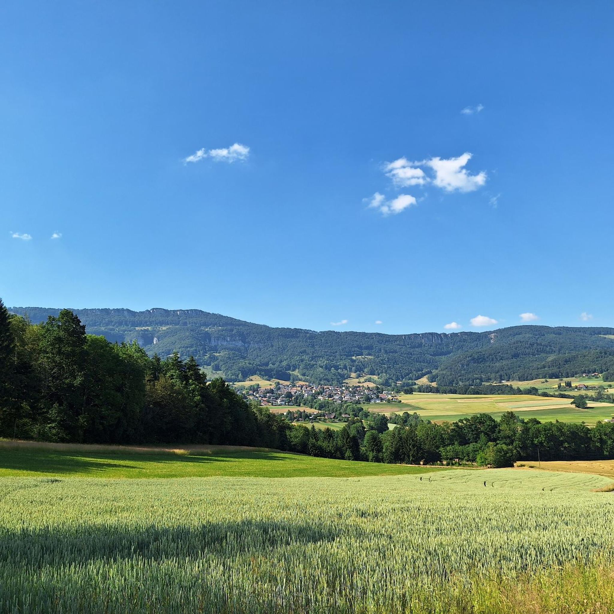
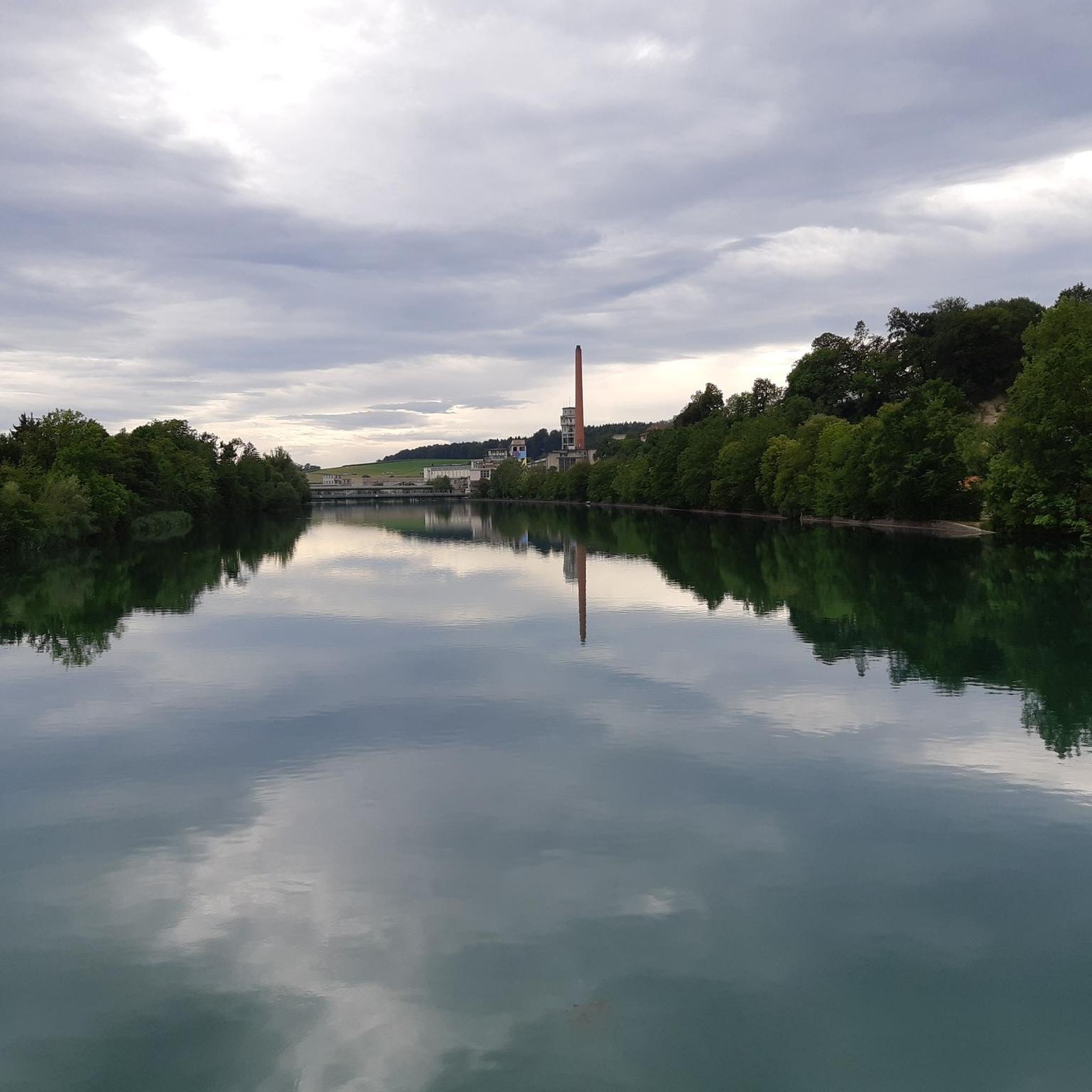
Hiking around Hubersdorf offers access to the diverse landscapes of the Jura Mountains in the Canton of Solothurn, Switzerland. The region is characterized by extensively forested land and agricultural areas, nestled near the Siggern river. Hikers encounter varied terrain, including rolling hills, meadows, and deep ravines, particularly within the nearby Regional Nature Park Thal and the Verena Gorge. This area provides a mix of natural features suitable for various hiking experiences.
Best hiking trails around Hubersdorf
- The most popular hiking…
Last updated: May 15, 2026
4.0
(2)
11
hikers
9.89km
03:22
490m
490m
Moderate hike. Good fitness required. Easily-accessible paths. Suitable for all skill levels.
6
hikers
15.6km
06:03
940m
940m
Hard hike. Very good fitness required. Sure-footedness, sturdy shoes and alpine experience required.

Sign up for free
2
hikers
9.18km
02:44
290m
290m
Moderate hike. Good fitness required. Easily-accessible paths. Suitable for all skill levels.
4.5
(2)
8
hikers
4.12km
01:06
40m
40m
Easy hike. Great for any fitness level. Easily-accessible paths. Suitable for all skill levels.
5.0
(2)
6
hikers
19.3km
07:00
950m
950m
Hard hike. Very good fitness required. Sure-footedness, sturdy shoes and alpine experience required.
Get access to more routes and recommendations from other explorers.
Sign up for free
Already have an account?
Our route recommendations are based on thousands of hikes, rides, and runs completed by other people on komoot.
Start today with a free account
Your next adventure awaits.
Login or Signup
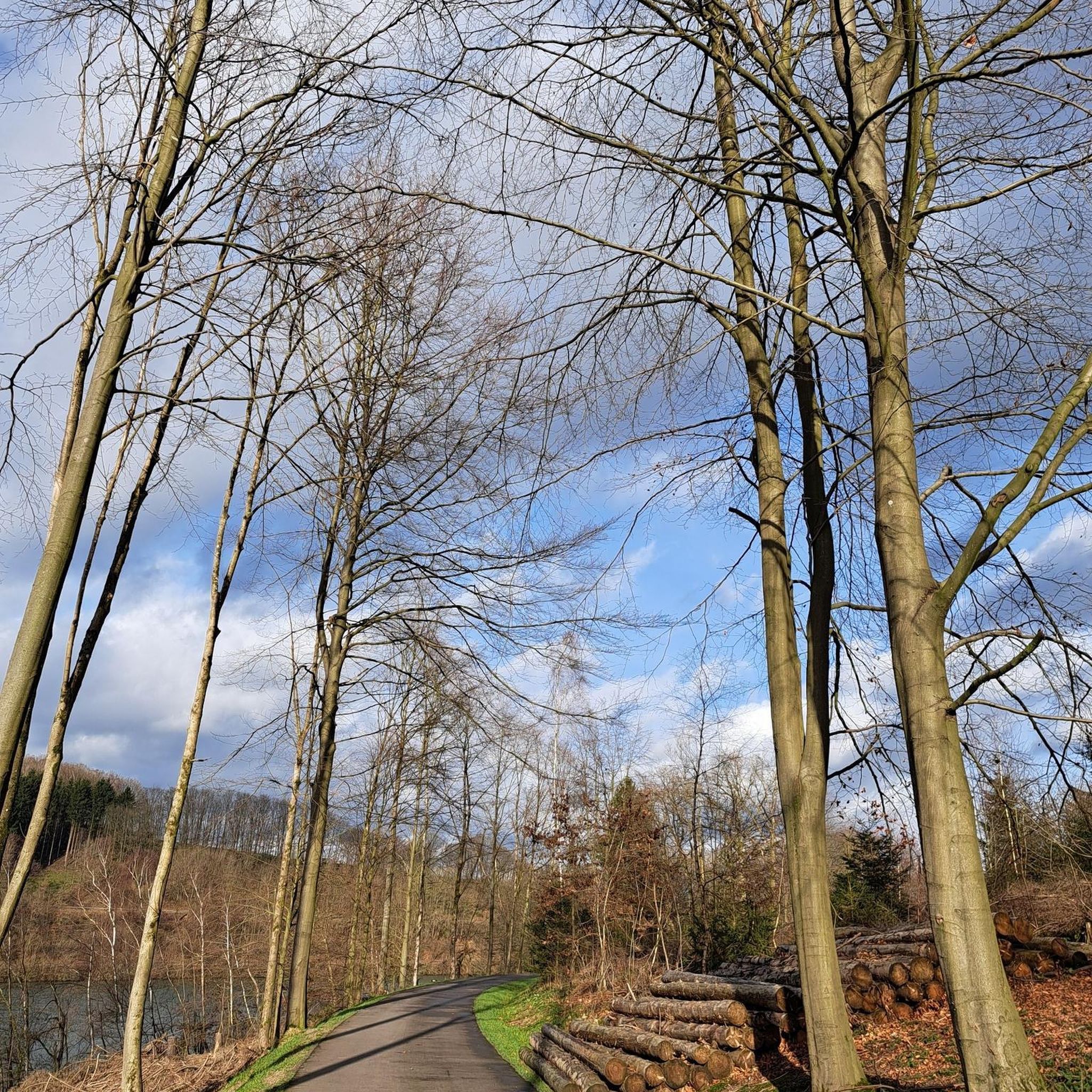

Tips from the Community

There are parking spaces directly at the pass
0
0

Unfortunately, the Kurhaus is still listed on a hiking map as a catering facility.
0
0

Highly recommended! Friendly service and the food is truly delicious! 🍻
0
0

A powerful project with a 40-year-old Colnago.
0
0

The Balmberg is particularly notorious for its extremely steep approach from Welschenrohr. There, the asphalt climb climbs approximately 400 meters with gradients of up to 25%. From Günsberg, it's considerably easier – in comparison – but still a real fitness test!
1
0


Good, sturdy hiking boots are an advantage
0
0

very nice here, very nice
1
1
Frequently Asked Questions
How many hiking trails are available around Hubersdorf?
Hubersdorf offers a wide variety of hiking opportunities, with over 590 routes recorded on komoot. These trails cater to all levels, including over 250 easy routes, 260 moderate, and 70 difficult options, ensuring there's a path for every hiker.
What kind of terrain can I expect on hikes near Hubersdorf?
The terrain around Hubersdorf is diverse, ranging from rolling hills and meadows to extensively forested land and deep ravines within the Jura Mountains. You'll encounter varied landscapes, including agricultural areas, serene natural parks, and more rugged sections, particularly in areas like the Regional Nature Park Thal and the Verena Gorge.
Are there any easy hiking trails suitable for beginners or casual walkers?
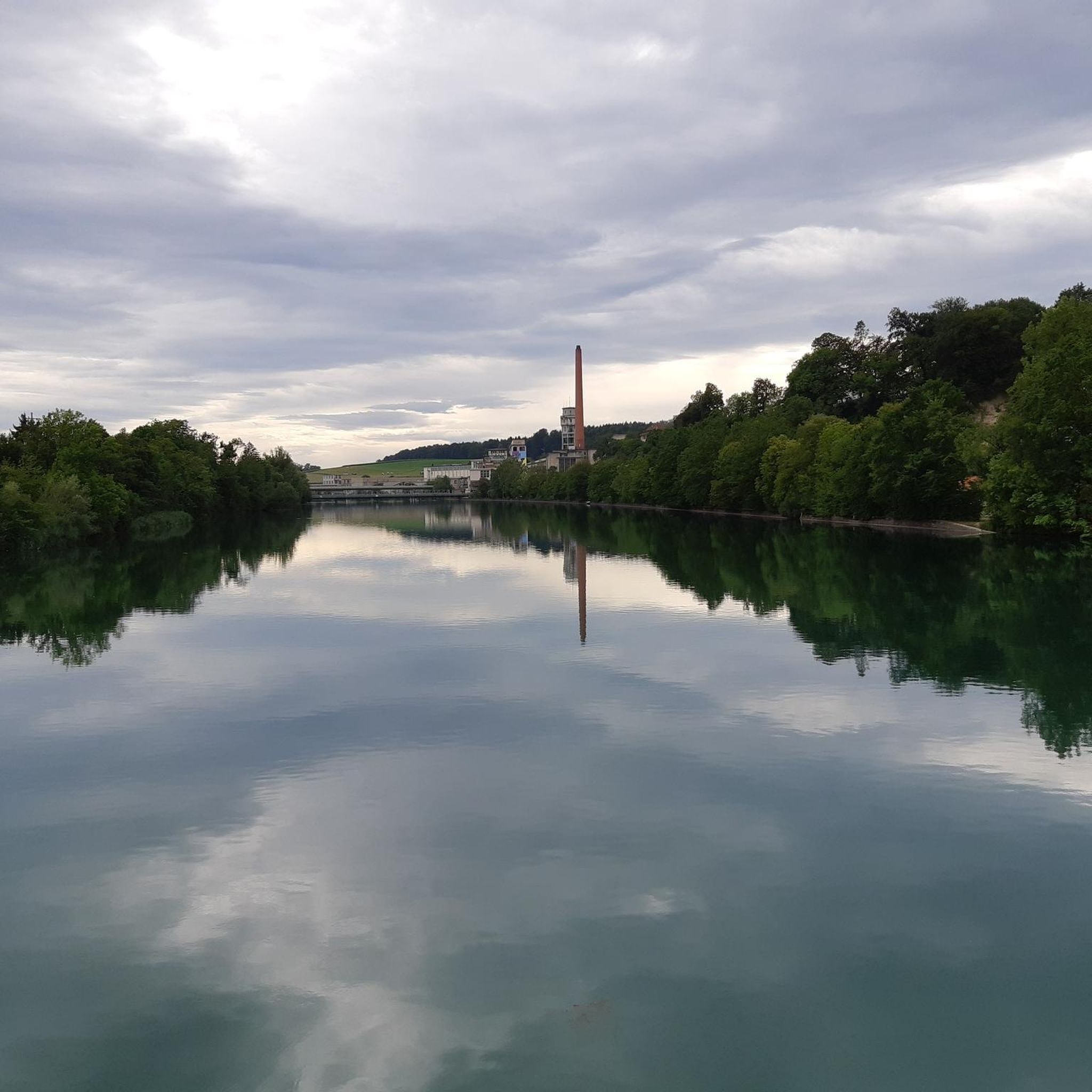
Yes, Hubersdorf has numerous easy hiking trails. For a pleasant and accessible walk, consider the Bench with a view of the Aare loop from Flumenthal, which is just over 4 km long and features minimal elevation changes, offering views of the Aare river.
Can I find challenging long-distance hikes in the Hubersdorf area?
Absolutely. For those seeking a challenge, the region offers demanding routes with significant elevation. A notable difficult hike is the Röti – Balmfluechöpfli Summit loop from Günsberg, a 15.5 km path featuring substantial ascents towards the Röti and Balmfluechöpfli summits. Another challenging option is the Chamben – View from Weissenstein loop from Günsberg, spanning over 19 km with considerable elevation changes.
What natural landmarks or viewpoints can I discover while hiking?
The Hubersdorf area is rich in natural landmarks and panoramic viewpoints. You can explore the mystical Verenaschlucht and Hermitage, or venture to the Wolf Gorge for a wilder experience. For breathtaking vistas, hike towards Weissenstein, Röti, or Balmfluechöpfli Summit, which offer expansive views of the Jura Mountains and surrounding valleys.
Are there any family-friendly hiking options around Hubersdorf?
Yes, the region provides family-friendly options. The Verena Gorge, for instance, has well-maintained paths that are even stroller-friendly in parts, offering a pleasant and accessible environment for families. The diverse terrain of the Regional Nature Park Thal also includes easier sections suitable for walks with children.
Is Hubersdorf a good destination for dog owners who want to hike?
Hubersdorf and the surrounding Canton of Solothurn are generally welcoming to dog owners. Many trails, especially those through forests and open fields in the Regional Nature Park Thal, are suitable for dogs. It's always recommended to keep dogs on a leash, especially in agricultural areas or near wildlife, and to check local signage for specific regulations.
Are there circular hiking routes available near Hubersdorf?
Yes, many routes around Hubersdorf are designed as circular walks, allowing you to start and end at the same point. An example is the Hofbergli Mountain Restaurant – View of Chamben Cliffs loop from Günsberg, which offers scenic views and brings you back to your starting point.
How can I get to the hiking trails around Hubersdorf using public transport?
Hubersdorf is located in the Canton of Solothurn, which has a well-developed public transport network. While specific bus routes to trailheads might vary, you can typically reach Hubersdorf or nearby towns like Solothurn by train and then connect to local buses that serve the smaller villages and access points to hiking areas. Planning your journey with local transport providers is recommended.
Where can I park my car when hiking in Hubersdorf?
Parking is generally available in and around Hubersdorf, particularly in the larger nearby towns like Günsberg, which serve as common starting points for many trails. Look for designated parking areas near trailheads or in village centers. Some popular spots like the Weissenstein mountain also have parking facilities.
What is the best time of year to go hiking in Hubersdorf?
The best time to hike in Hubersdorf is typically from spring to autumn. Spring brings lush greenery and blooming flora, while summer offers warm weather perfect for exploring the cooler Verena Gorge. Autumn provides stunning fall foliage. Winter hiking is also possible, especially on lower elevation trails, but some higher routes may be affected by snow and ice.
Are there places to eat or stay near the hiking trails in Hubersdorf?
Yes, the region offers various options for refreshments and accommodation. You'll find mountain restaurants like Hofbergli along some routes, and the nearby villages and towns, including Solothurn, provide a range of cafes, pubs, and hotels. The Weissenstein Spa Hotel is also a notable option for dining and lodging at a scenic location.
What do other hikers enjoy most about the trails around Hubersdorf?
The trails around Hubersdorf are highly rated by the komoot community, with an average score of 4.6 stars from over 2,100 reviews. Hikers frequently praise the diverse landscapes, from the serene forests and meadows to the dramatic gorges and panoramic viewpoints. The well-maintained paths and the variety of difficulty levels also contribute to a highly enjoyable hiking experience.
Are there any gorges or ravines to explore on hikes near Hubersdorf?
Yes, the area is known for its beautiful gorges and ravines. The most prominent is the Verenaschlucht and Hermitage, an idyllic and wild gorge with a well-maintained trail. Another option is the Wolf Gorge, offering a more adventurous path through deep ravines.
Most popular routes around Hubersdorf
Most popular attractions around Hubersdorf

Get inspired with the komoot mobile app


Explore more
Browse the best Hikes in other regions.
